Cyclists.com

Prato Nevoso from Frabosa Sottana

Frabosa Sottana, ItalyRoad

Routed from the map This classic road was traced on OpenStreetMap and measured against the terrain model; no member has recorded it yet. Ridden it? Add your recording and photos.

11 km
Distance
735 m
Elevation gain
Easy
Difficulty
Paved
Surface

Elevation profile

Total ascent
735 m
Distance
11 km
Elevation (m)05001,0001,5002,0000 km2.5 km5 km7.5 km10 km11 kmHighest point1,637 m at 10.9 kmStart0 kmFinish11 km

Route overview

This ride suits cyclists prepared for a sustained 10 km climb with over 700 m elevation gain.

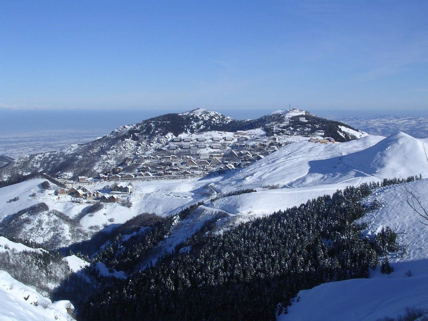
A 10.9 km climb from Frabosa Sottana to Prato Nevoso, Italy, gaining 735 m.

The route starts near Frabosa Sottana at about 0.6 km altitude and climbs steadily over 10.3 km to Prato Nevoso at 1636 m. The climb averages 7.1% with a maximum gradient of 11%, mostly uphill with 94% climbing. The first half includes about 51% of the total elevation gain. The surface is predominantly paved (93%) with a short gravel section (7%). Riders mainly follow the SP327 for 7.3 km on main roads, with 7.2 km lacking a dedicated cycle lane. Other parts include minor roads, quiet streets, and 0.6 km on a track. There is a 4.2 km stretch without café, shop or water between km 3.9 and 8.1. Near the top around km 8.1–8.7 there are facilities including a café, supermarket, drinking water, and toilets, all within 17 to 223 metres off route. At the finish there are supermarkets, a café, bakery, and restaurant.

Highlights

  • 10.3 km climb averaging 7.1%
  • Top altitude 1636 m at km 10.9
  • SP327 main road for 7.3 km
  • Facilities near km 8.1–8.7

Along the route

Measured from the recorded track and OpenStreetMap.

Climbs

ClimbStarts atLengthGainAverageMaxTop
Prato Nevoso0.6 km10.3 km735 m7.1 %11 %1636 m

High point 1636 m at 10.9 km; low point 901 m.

Prato Nevoso · starts at 0.5 km

10.3 km at 7.1% · 735 m
1000110012001300140015001600ELEVATION (M)8.1%5.4%8.2%8.1%7.3%6.8%8.1%4.0%0 km12345678910.2 kmDISTANCE (KM)Prato Nevoso · 1,636 mSTEEPEST 9.8%
< 4%4 – 7%7 – 10%> 10%

What this ride is like

Measured from OpenStreetMap along the track and the elevation profile.

Roads
66% main road · 16% minor road · 12% quiet street · 6% track
Main roads
7.2 km on main roads without a cycle lane — likely busier
Main roads used
SP327 (7 km)
Surface
Paved throughout
Gradient
94% climbing · 6% descending · 0% flat
Steep sections
8.7 km over 5% · 3.7 km over 8% · 0.6 km over 10%

Along the way

Within a few hundred metres of the track, from OpenStreetMap. Opening hours change — treat this as where to look, not a promise.

Food, water and shops

  1. 3.9 kmSpring · 200 m off route
  2. 8.1 kmSupermercato DORO · supermarket · on the route
  3. 8.2 kmLa Capanna · café · on the route
  4. 8.4 kmToilets · 220 m off route
  5. 8.7 kmDrinking water · on the route

At the finish

  • Baby Market · supermarket · 460 m
  • Panetteria Pasticceria Botto · bakery · 590 m
  • La Capanna · café · 620 m
  • Pizze a metri · restaurant · 580 m
  • Supermercato DORO · supermarket · 780 m

Stay after this ride

  • Hotel Galassia · hotel · 390 m from the finish
  • Albergo delle Alpi · hotel · 3.9 km from the finish
  • Albergo Miramonti · hotel · 3.3 km from the finish
  • Hotel Skilift · hotel · 3.2 km from the finish
  • Monte Moro · campsite · 3.3 km from the finish

Practical information

Surface
Paved
Route shape
Point to point
Riding time
47 min
Best months
Jun to Sep — daily highs of 19–25 °C in those months

Know before you go

  • 7.2 km on main roads without cycle lane
  • 4.2 km without café, shop or water between km 3.9 and 8.1
  • Short gravel section covers 7% of route

Routes are for inspiration. Roads, surfaces and conditions change — check locally and ride within your limits.

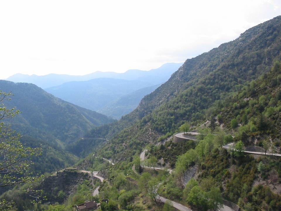
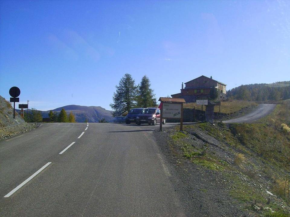
2 photographs from the road

Photo: Sextum · CC BY-SA 3.0 · Wikimedia Commons · Photo: This image was created by user Nicolò Oppicelli (Nicolò Oppicelli) at Mushroom Observer, a source for mycological images.You can contact this user here. · CC BY-SA 3.0 · Wikimedia Commons