
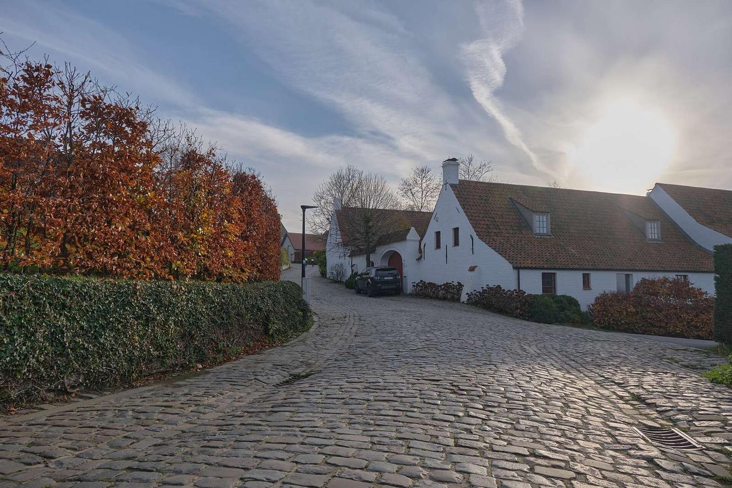
Road · Belgium
Paterberg from Kluisbergen
A mountainous 2 km road cycling route from Kwaremont, with 40 m of climbing.
At a glance
- Best for
- Short, climbing-heavy rides
- Distance
- 2.4 km
- Elevation gain
- 40 m
- Riding time
- 10 min
- Difficulty
- Easy
- Bike
- Road bike
- Surface
- Paved
- Best months
- May to Sep
- Navigation
- GPX download
- Start → finish
- Kwaremont
Map and elevation profile
Elevation profile
- 40 m
- 2 km
Route description
The route starts just outside Kluisbergen passing Kwaremont at 0.4 km. It climbs initially, reaching its highest point of 79 m at 0.6 km before descending over 1.1 km to the low point of 28 m at 1.9 km. The profile consists of 30% climbing, 52% descending and 17% flat with a short steep section of 0.3 km exceeding 5%, including 0.1 km steeper than 10% near the start.
The surface is 96% paved with a small 4% gravel section. The road types are mainly minor road (1.8 km) with 0.5 km on quiet streets. There are two restaurants at the start in Kluisbergen ('t Monument and In de Zon) plus a restaurant off route at 0.4 km (In de Zon). Beyond Kwaremont at 0.4 km there are no cafés, shops or water for 2 km to the end. The finish lies near the peak of Paterberg, 79 m off route.
Highlights
- Passing Kwaremont at 0.4 km
- Highest point at 79 m at 0.6 km
- Longest descent of 1.1 km from 0.6 km
- Finish near peak Paterberg 79 m off route
Along the route
On the road
Know before you go
- No café, shop or water for 2 km after 0.4 km
- 0.3 km with gradient over 5%, max 7.9% over 500 m
- Small gravel section (4% of route)