Road · Malaysia
Around Putrajaya
A flat 96 km road cycling out-and-back route from Putrajaya, with 303 m of climbing. Most of it (69.4 km) is on main roads without a cycle lane, 14.8 km where the limit is 80 km/h or more. There is a 21 km stretch without a café, shop or water (km 59–80).
At a glance
- Best for
- Flat, steady riding for confident riders at ease in traffic
- Distance
- 95.6 km
- Elevation gain
- 303 m
- Riding time
- 2½–4 hours
- Difficulty
- Moderate
- Bike
- Road bike
- Surface
- Paved
- Traffic
- Mostly main roads
- Food & water
- Longest gap 21 km
- Navigation
- GPX download
- Start and finish
- Putrajaya
Map and elevation profile
Elevation profile
- 303 m
- 96 km
Route description
- Putrajaya
- Putrajaya
Beginning in Putrajaya, the route heads out along a mixture of main roads, cycle paths, and minor roads, covering 95.6 km in total. The ride is almost entirely paved (99%) with a substantial 72% on main roads, though 69.8 km of these lack cycle lanes. Key named roads along the way include Lebuh Wadi Ehsan for 17 km and Persiaran Selatan for 10.4 km. The elevation ranges between 13 m and 59 m, with slight climbing and descending each making up 6% of the route, mostly gentle with only 0.1 km exceeding 5% gradient.
Highlights
- Ride along Lebuh Wadi Ehsan for 17 km
- Longest elevation at 59 m at 71.9 km
- Pass flamingos at 19.9 km
- Cycle path sections total 17.9 km
Along the route
Places passed
Traffic, surface and gradient
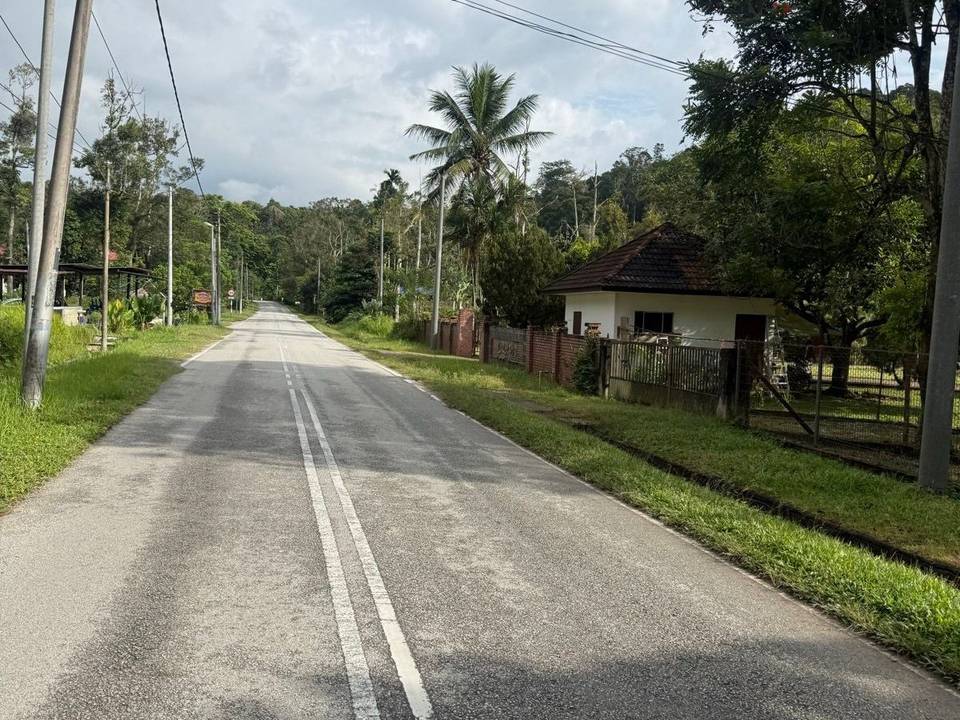
This is not a cycle-track route: 73% is on main roads without a cycle lane, 14.8 km of it where the limit is 80 km/h or more. Riders should be comfortable sharing the road with faster traffic.
- Roads
- 72% main road · 19% cycle path · 4% minor road · 2% quiet street · 3% other roads and tracks
- Main roads
- 69.4 km on main roads without a cycle lane — likely busier
- Fast roads
- 14.8 km on roads with a limit of 80 km/h or more
- Cycle paths
- 18 km on cycle paths or roads with a cycle lane
- Main roads used
- Lebuh Wadi Ehsan (17 km), Persiaran Timur (16 km), Persiaran Selatan (11 km), Persiaran Utara (9 km)
- Surface
- Paved: 99% of the route is mapped as paved.
- Gradient
- 6% climbing · 6% descending · 88% flat
Food, water and services
The longest stretch without a café, shop or water is 21 km, from km 59 to 80. Along the route: 17 cafés and restaurants, 7 shops, 4 petrol stations, 2 public toilets and 2 bike shops.
Food, water and shops in ride order
- 0.7 kmRestaurant · 180 m off route
- 1.2 kmRepair stand · 550 m off route
- 2.8 kmPetrol station · 240 m off route
- 9.1 kmKlinik Kesihatan Putrajaya Presint 18 · clinic · 630 m off route
- 11.5 kmStarbucks · café · 130 m off route
- 18.7 kmPetronas · petrol station · 290 m off route
- 32.7 kmFarmasi Ich Liebe Dich · pharmacy · 180 m off route
- 33.1 kmRestoran Arham · restaurant · 390 m off route
- 33.1 kmPasaraya DPP Maju · convenience store · 380 m off route
- 48.8 kmStarbucks · café · 320 m off route
- 54.8 kmFree Toilet · toilets · 120 m off route
- 54.8 kmPetronas · petrol station · 30 m off route
- 55.9 kmMamak Darussalam · restaurant · 60 m off route
- 55.9 kmDarussalam · supermarket · 40 m off route
- 79.6 kmAmir Burger · café · 150 m off route
- 79.6 kmPasar Mini Zazaifa · convenience store · 180 m off route
Need to bail out?
- 17.4 km — Watertaxi - Taman Botani (01) (ferry), 1.2 km off route
- 49 km — Watertaxi - Anjung Floria (07) (ferry), 1.2 km off route
- 55.7 km — Watertaxi - Cruise Tasik (03) (ferry), 1.2 km off route
Worth a stop
- 19.9 km — Flamingos here (attraction)
Know before you go
- 20.8 km with no café, shop or water from 58.8 km to 79.6 km
- 69.8 km on main roads without cycle lanes
- 15 km on roads with speed limits over 80 km/h