Mixed · Norway
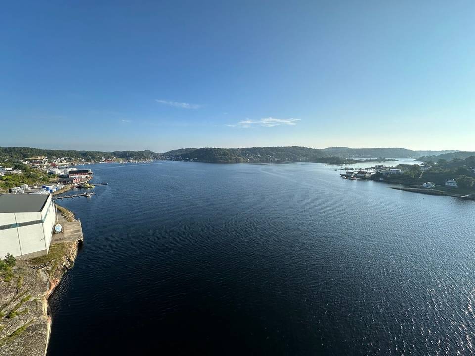
A flat 81 km road cycling loop from Sandefjord, Vestfold through Kamfjord, Gokstad and Freberg, with 94 m of climbing. There is a 73 km stretch without a café, shop or water (km 5–78).
This loop ride begins and ends in Sandefjord, proceeding past Kamfjord and Gokstad within the first 5 km. The route includes a climb starting near 24.1 km lasting 1.2 km with an elevation gain of 59 m, reaching the highest point of 59 m at 25.3 km near Bogen. The terrain is mostly flat with 95% of the route having minimal gradients and a steepest 500 m section at 7.3% gradient around 26 km.
The surface is mostly unmapped (87%), with 11% paved and 3% on gravel or unpaved roads. The ride includes a mix of main roads (3.1 km), minor roads (3.3 km), paths (2.9 km), quiet streets (2.2 km), and cycle paths (1 km). Main roads without a cycle lane cover 3.1 km. The route passes near peaks such as Kamfjordåsen at 3.6 km and Fjellvikåsen at 1.2 km.
Facilities are concentrated at the start and finish in Sandefjord, with the longest stretch without café, shop, or water being 72.8 km between km 5.3 and 78.1. Food and drink options include Fjordbakst café near 2.6 km. Shops such as Extra Kamfjordjordet supermarket are at 3.7 km. Water points are located near 5.3 km. Toilets and petrol stations are also available within a few kilometres of the start and finish. Bailout points include ferry stops at Sandefjord, Vestgården, and Tangen.
| Climb | Starts at | On this ride | Top on this ride |
|---|---|---|---|
| Unnamed climb | 24.1 km | 1.2 km · 59 m · 4.8 % · max 9.3 % | 59 m |
The longest stretch without a café, shop or water is 73 km, from km 5 to 78. Along the route: 26 cafés and restaurants, 11 shops, 1 water point, 5 petrol stations and 6 public toilets.