
Cyclists.com

Tête de Mantégas

Climb from Moulinet · Sospel, France

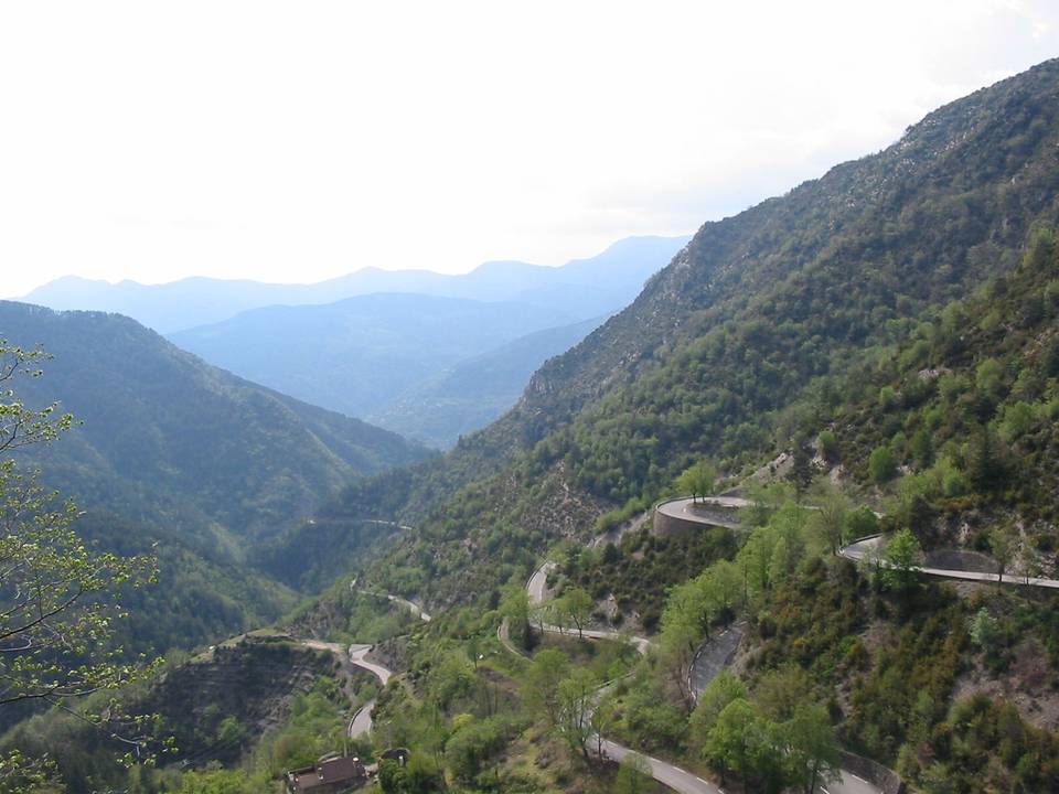
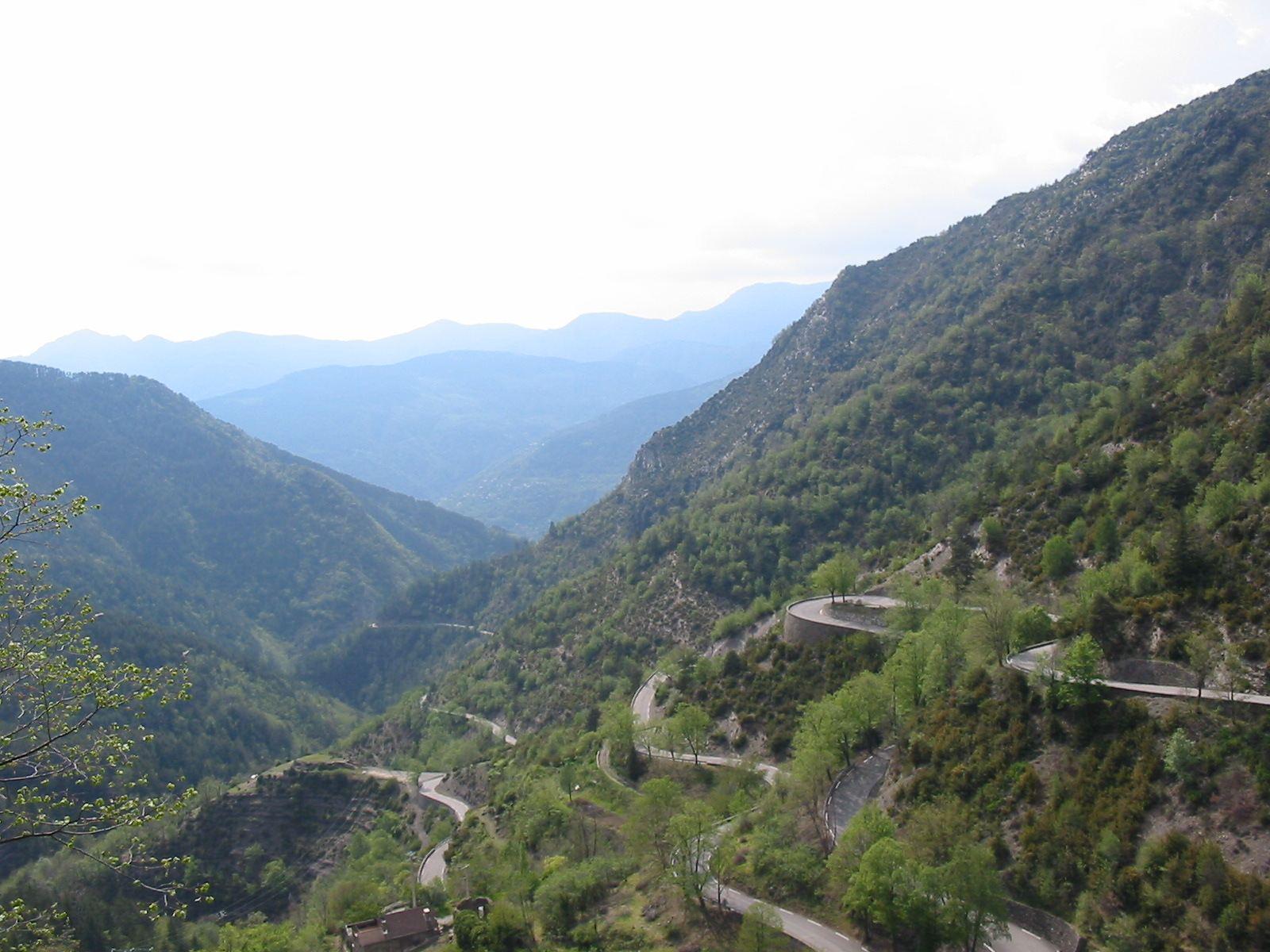
Tête de Mantégas is 12 km at 6.9% average from Moulinet, gaining 827 m to 1,608 m, with a steepest stretch of 11.1%. It is in Sospel, France. One published route climbs it, from 25 km.

12 km at 6.9% average from Moulinet, gaining 827 m to 1,608 m, 11.1% at the steepest.
12 km
Length
6.9%
Average
11.1%
Max
827 m
Gain
1,608 m
Summit
Hard
Difficulty

At a glance

Length
12 km
Average gradient
6.9%
Steepest
11.1%
Elevation gain
827 m
Summit
1,608 m
Difficulty
Hard
Routes over it
1
from 25 km
Nearest place
Sospel
Tête de Mantégas climb

Gradient profile

827 m over 12 km
8009001,0001,1001,2001,3001,4001,5001,600m7.5%6.1%6.1%8.5%6.1%8.3%7.7%7.1%8.5%5.2%0 km123456789101111.9 km1,608 msteepest 8.5%
< 4%4 – 7%7 – 10%> 10%

Each block is one kilometre, coloured by its average gradient. Measured from a recorded ride; the line is the recording’s own trace.

Rides with this climb

One route pass over it — the km is where the climb starts on each.

About this climb

Measured from
Riders’ recordings of the road, with elevation from the Copernicus terrain model.
Routes over it
1 published route on Cyclists.com.
Page added
Page last updated

Planning a trip around this climb?

Cycling in Sospel