Road · France
France has 154 cycling routes over 3697 km, with lengths ranging from 3 to 141 km. Climbing per route varies from 39 to 1868 m, with a median route climbing significantly lower. The regions differ notably: Languedoc holds 9 routes with the highest total climbing of 1776 m, while regions like Rhone-Alpes and Pays de la Loire offer fewer routes and less climbing. Bourgogne and Champagne-Ardenne have moderate climbing on their 2 routes each.
Key destinations with multiple routes include Le Bourg-d'Oisans and Saint-Lary-Soulan, with several mountainous climbs concentrated in these areas. The biggest climbs in France include Mont Ventoux (21 km with 1577 m gain), L'Homme de Beurre, and Cime de la Bonette, offering sustained ascents over 19 to 22 km with gains exceeding 1300 m. The cycling surface averages 82% paved roads, with some routes incorporating unpaved sections. Most roads do not have cycle lanes, with 224.3 km lacking them, while 305 km of cycle paths are present.
Mountainous climbs dominate the highest elevation gains, whereas other regions provide flatter or moderate terrain. Traffic regulations indicate that some main roads permit speeds of 80 km/h or more for 171.7 km. Climatic conditions allow cycling predominantly from May through October, with summer months July and August being the warmest and most recorded for cycling activity.
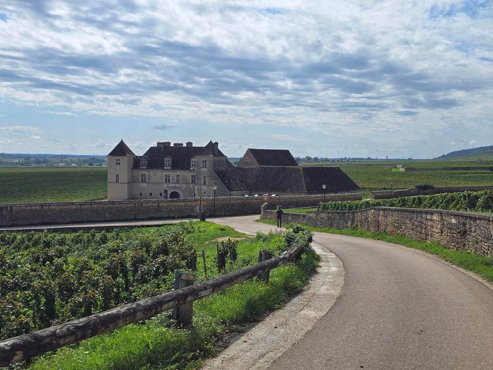
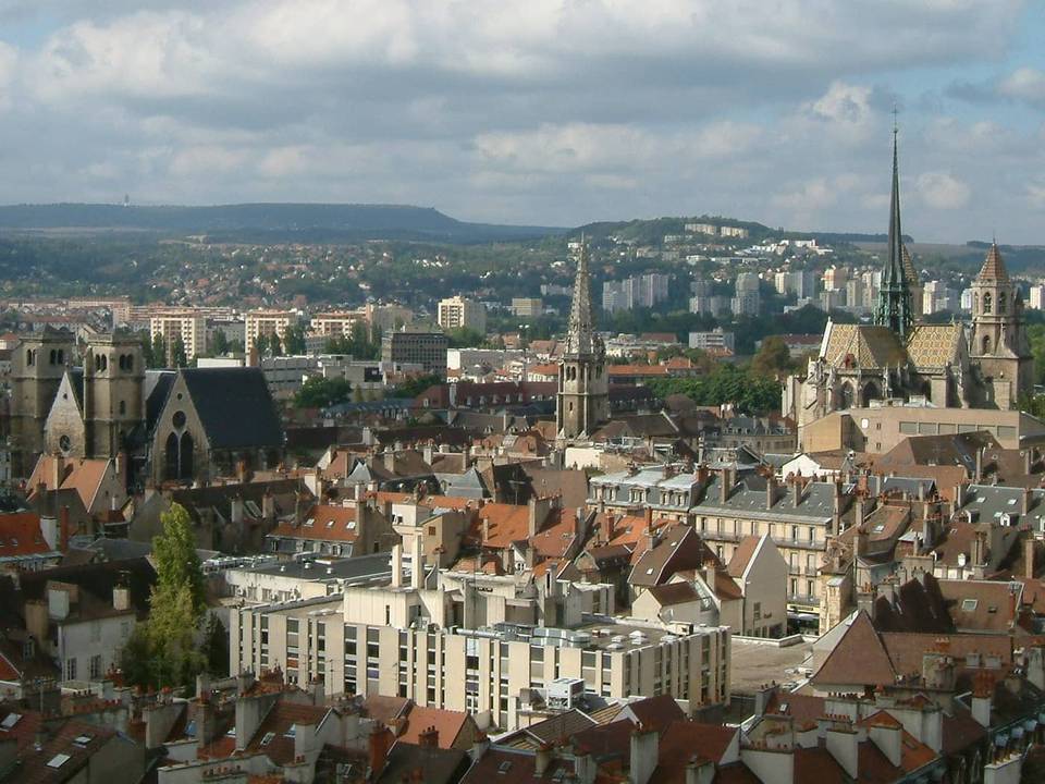
The region’s cycling terrain is mostly flat with some rolling sections as indicated by gradient data showing only 5% climbing and very small percentages over 5%, 8%, and 10%. Routes range from 71 to 93 km, averaging mostly minor roads (32%), tracks (20%), and paths (19%), with some main roads (16%) and quiet streets (10%). Surfaces are predominantly paved (69%) with 20% unpaved. The main climb is the Côte de Beaune on the Dijon to Givry route at 179 m elevation gain.
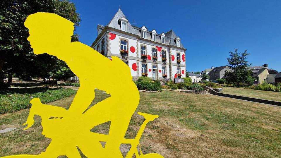
The terrain in these routes is rolling with 65% flat sections and 17% climbing, including gradients over 5% for nearly 4 km. Route lengths vary between 52 and 81 km with climbing up to 576 m. The road mix includes 40% minor roads, 26% main roads, and 26% paths, with only 2.1 km of dedicated cycle paths. The surface is mostly paved at 89%, with 10% unpaved. The steepest gradient is 10.2% over a 500 m stretch. The biggest climbs are on the Plumeliau – Mur-de-Bretagne route at 576 m height.
The riding consists of moderate distance routes between 44 and 91 km, with climbing of 348 m to 390 m. Terrain is predominantly flat with short steep sections. Surfaces are 84% paved and 16% unpaved. Roads include minor roads, quiet streets, main roads with some sections over 80 km/h, and 17.9 km of cycle paths. Largest climbs reach a maximum gradient of 22.2% for 500 m.
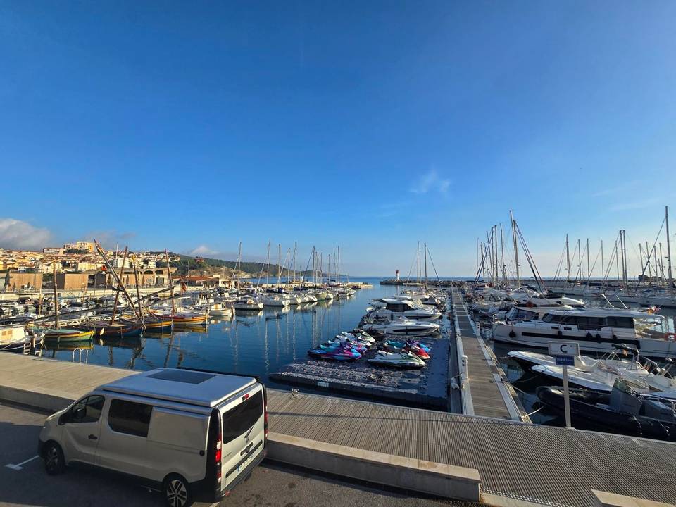
Riding in Languedoc is mostly flat with some rolling sections, as routes have an average of 5% climbing and flat terrain makes up 90%. The steepest 500 m segment has a 16% gradient. Routes vary in length from 36 km to 128 km with a median of 96 km. Road surfaces are mostly paved (81%) with some unpaved segments (17%). There are several main climbs, notably the Col de Banyuls at 568 m altitude gain. The majority of roads are minor roads, tracks, and cycle paths, with few main roads and some pedestrian sections.
The riding terrain in Pays de la Loire is predominantly flat with gentle rolling sections, reflected in the modest 200 m climbing over 82 km and no steep gradients above 5%. The single route is moderately long at 82 km, suited to road cycling. The road mix includes 46% minor roads, 28% main roads without cycle lanes on 22.3 km, and 11% cycle paths. Surface type is mainly paved at 89%, with 9% unpaved. The largest climb is mild, with the steepest 500 m segment averaging a 2.2% gradient.
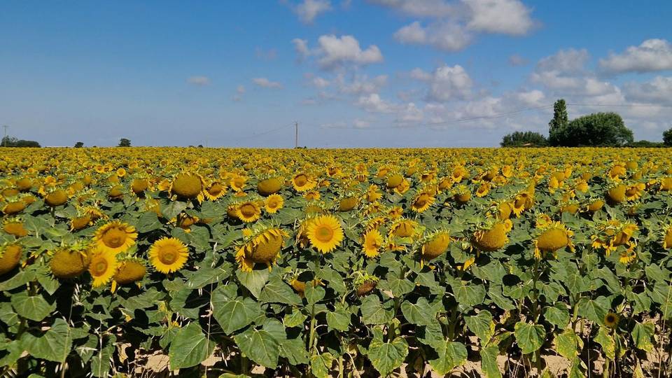
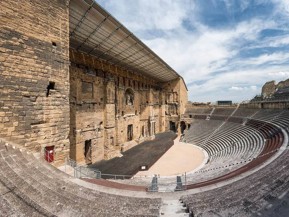
The riding in the region is predominantly flat with very little climbing, staying well below typical hill gradients. The average route length is 105 km, suitable for longer rides. The surface is mostly paved (80%) with some unpaved sections (18%). Roads include a balance of minor roads (36%), paths (24%) and cycle paths (8%). The most notable climb reaches 120 m in elevation, over the route from Orange to Nîmes.
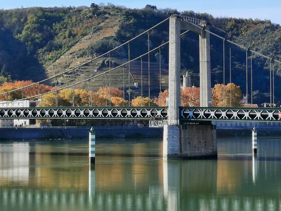
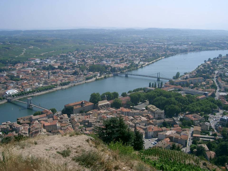
The terrain is mostly flat with 96% of route distance flat and only 2% climbing, with a small portion of sections above 5%, 8%, and 10% gradients (each 0.3 km). Typical routes range from 38 km to 141 km, mostly on minor roads, cycle paths, and main roads. Route surfaces are predominantly paved with some unpaved sections. The biggest climb is 145 m elevation gain on the Tournon-sur-Rhône to Orange route.
 Photo: Florian Pépellin · CC BY-SA 3.0 · Wikimedia Commons
 Photo: Florian Pépellin · CC BY-SA 3.0 · Wikimedia Commons
 Photo: Florian Pépellin · CC BY-SA 4.0 · Wikimedia Commons
 Photo: ドルリ · CC BY-SA 3.0 · Wikimedia Commons
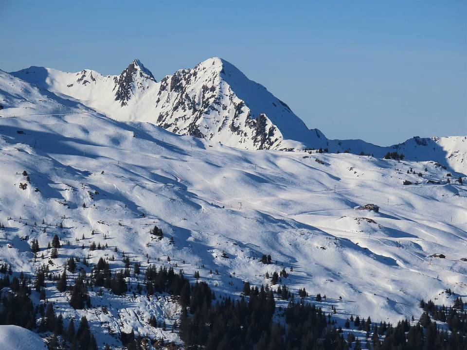 Photo: Rémih · CC BY-SA 4.0 · Wikimedia Commons
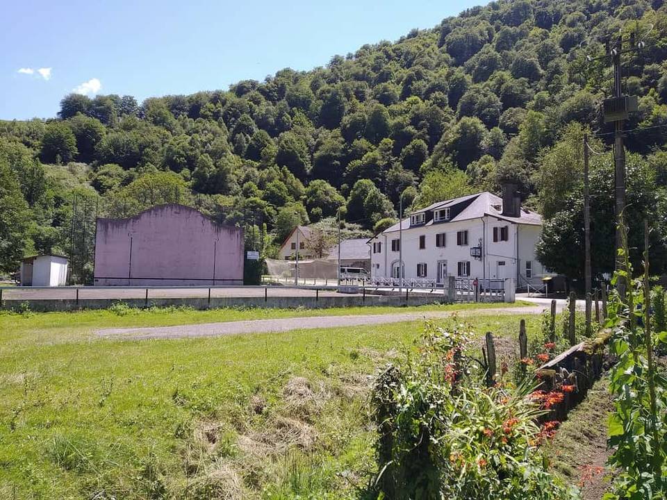 Photo: Luistxo · CC BY-SA 3.0 · Wikimedia Commons
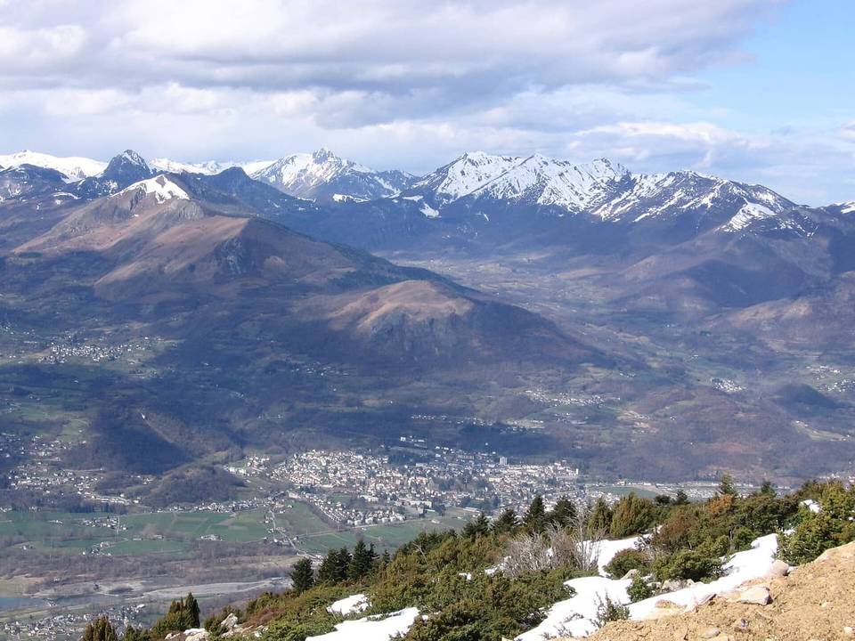 Photo via Wikimedia Commons · CC BY-SA 3.0
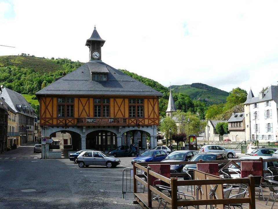 Photo: Père Igor · CC BY-SA 3.0 · Wikimedia Commons
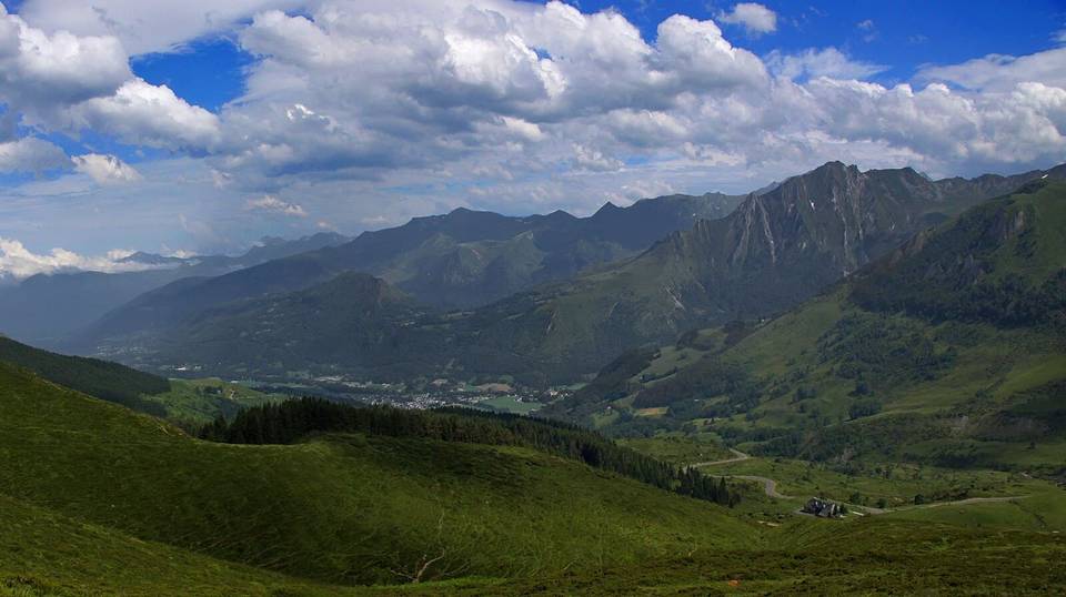 Photo: Guillaume Baviere · CC BY-SA 2.0 · Wikimedia Commons
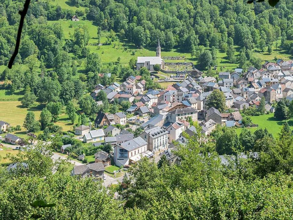 Photo: Tournasol7 · CC BY 4.0 · Wikimedia Commons
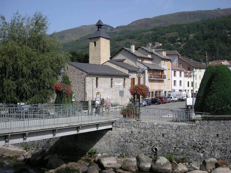 Photo: Ji-Elle · Public domain · Wikimedia Commons
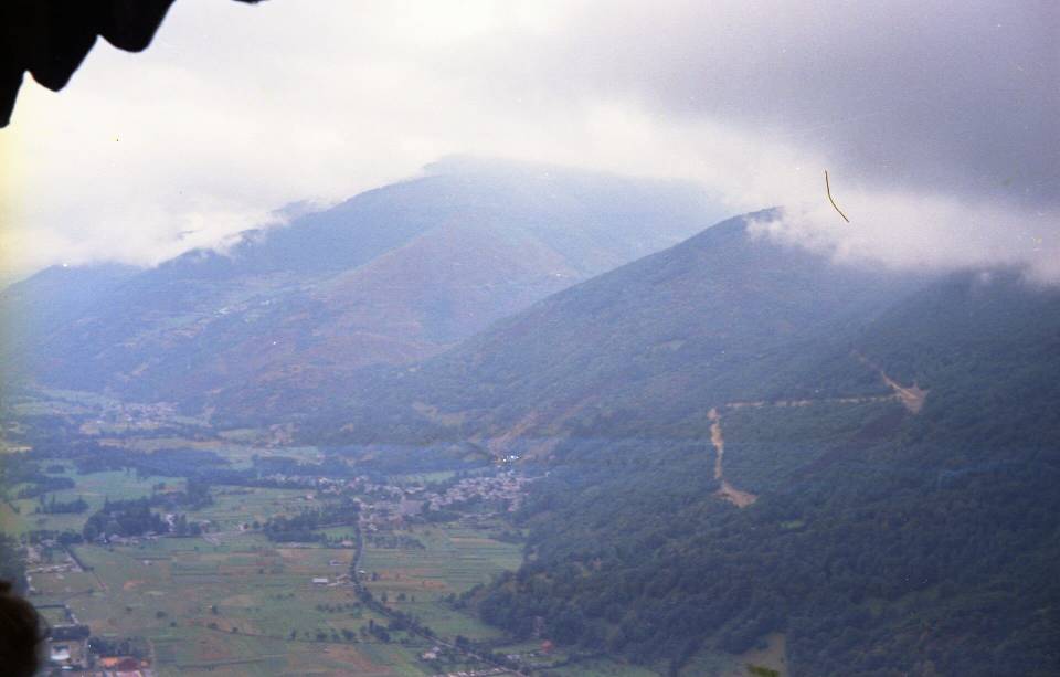 Photo: Jean-Pierre Bazard · CC BY-SA 3.0 · Wikimedia Commons
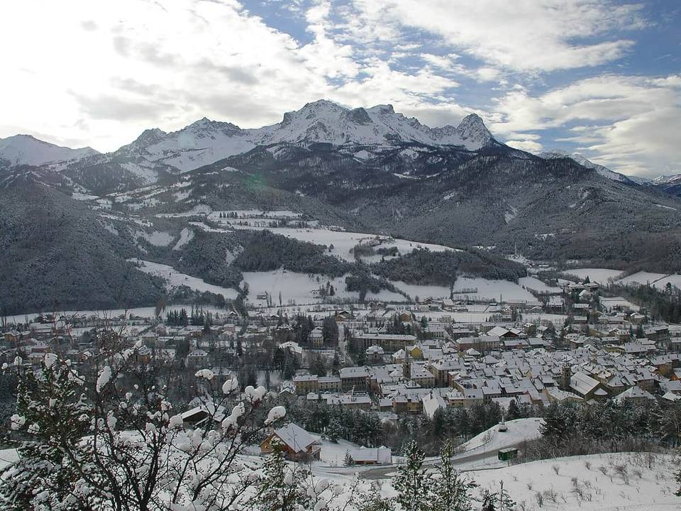 Photo: Caturegli Christophe · CC BY-SA 3.0 · Wikimedia Commons
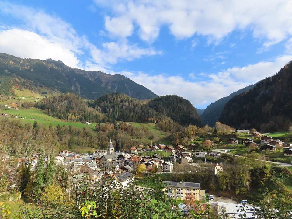 Photo: Rémih · CC BY-SA 4.0 · Wikimedia Commons
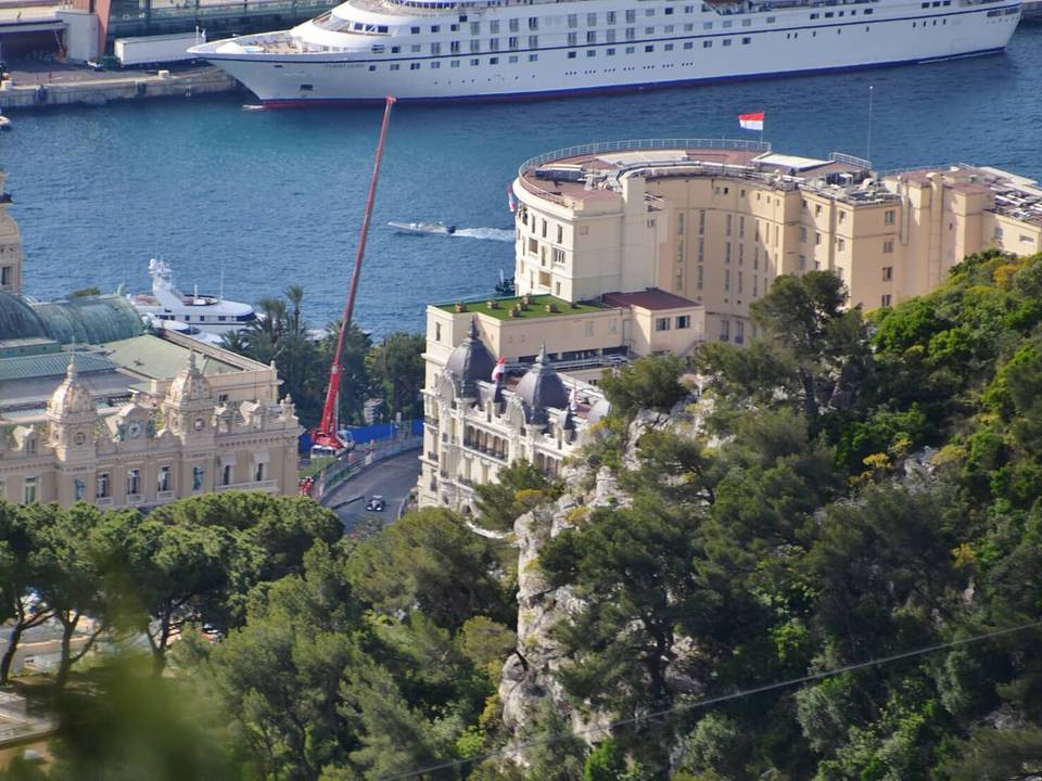 Photo: qwesy qwesy · CC BY 3.0 · Wikimedia Commons
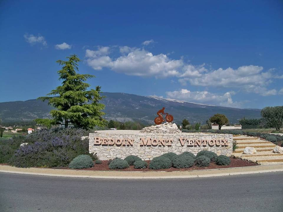 Photo: Véronique PAGNIER · CC BY-SA 3.0 · Wikimedia Commons
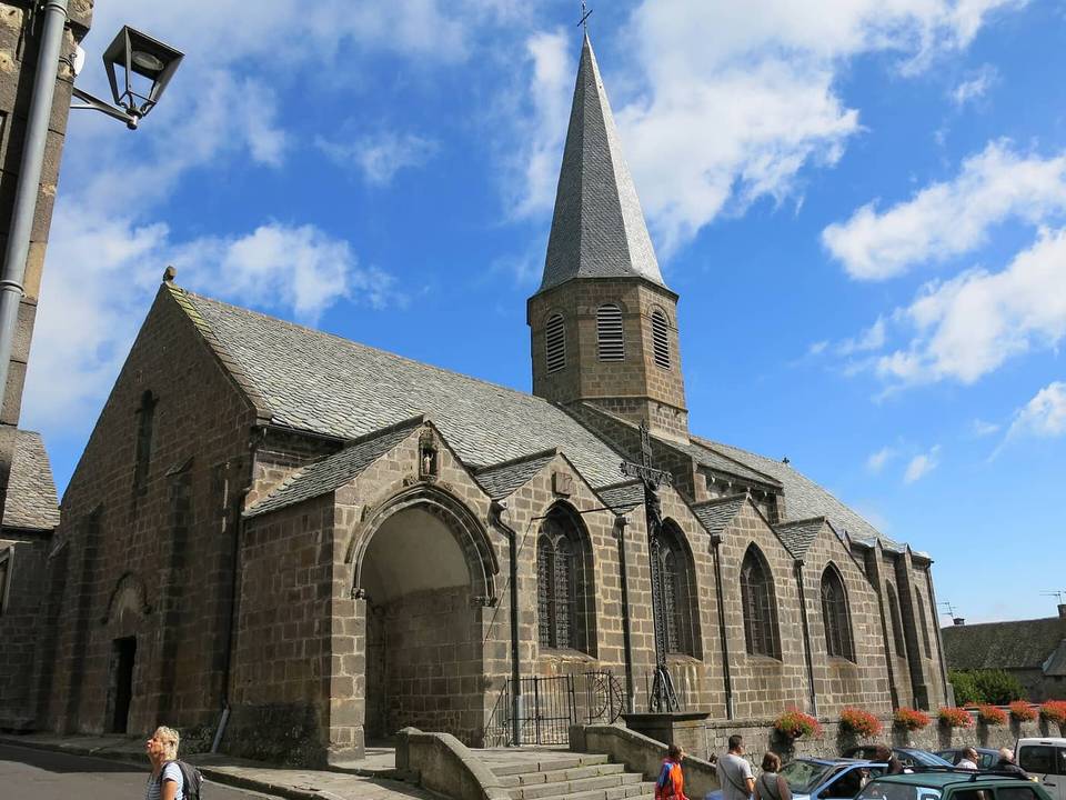 Photo: Tangopaso · Public domain · Wikimedia Commons
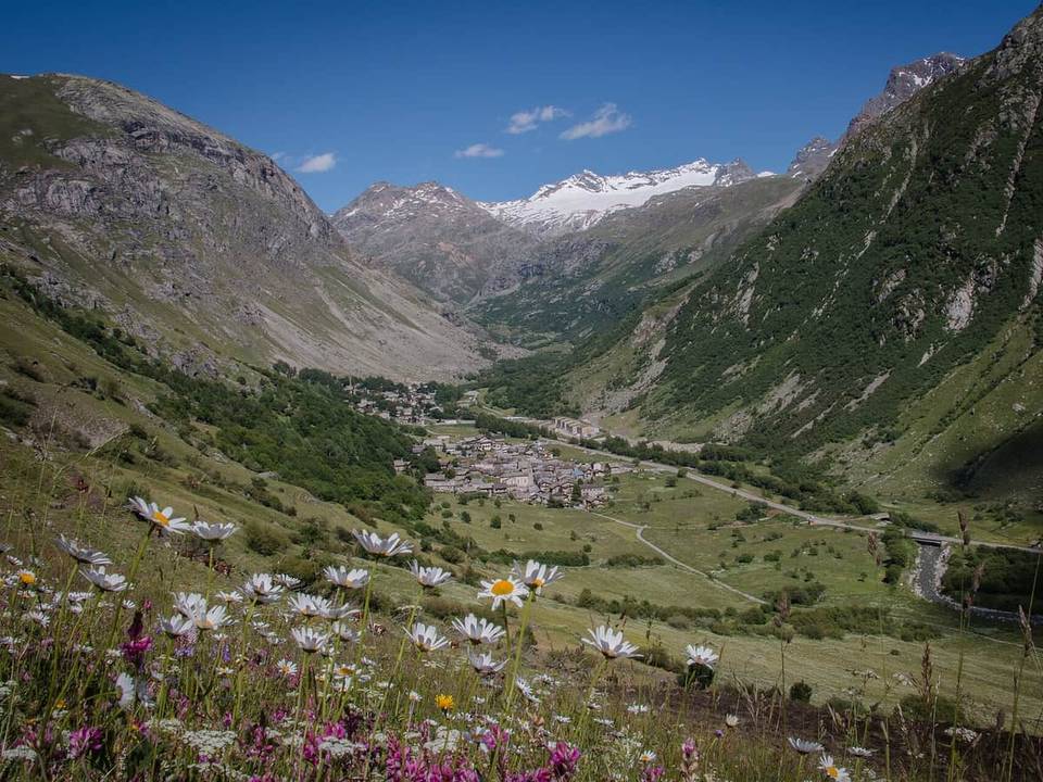 Photo: Bonneval sur arc · CC BY-SA 4.0 · Wikimedia Commons
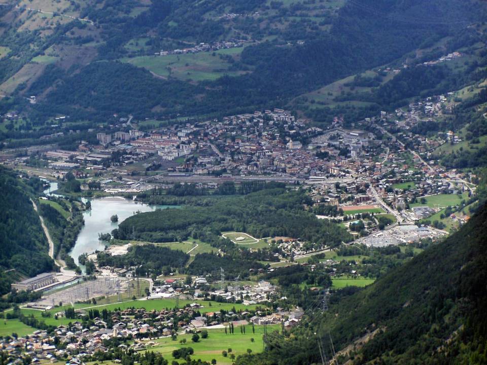 Photo: Marek Ślusarczyk (Tupungato) Photo gallery · CC BY 3.0 · Wikimedia Commons
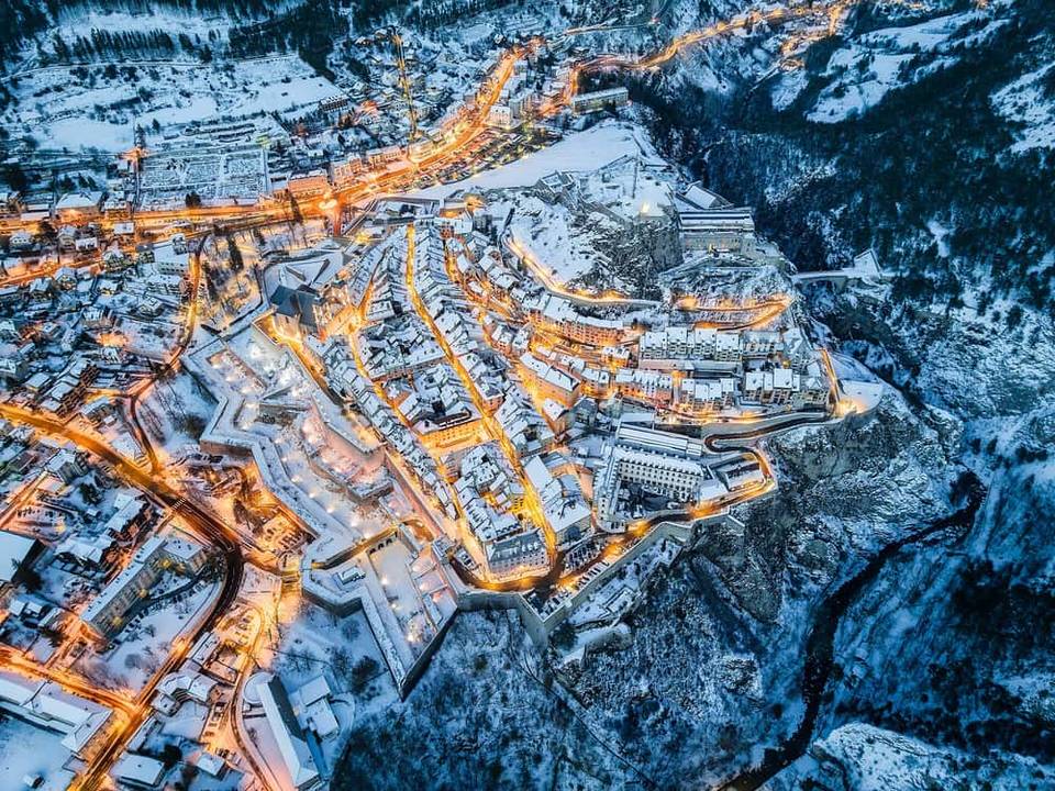 Photo: Poinas.thi · CC BY-SA 4.0 · Wikimedia Commons
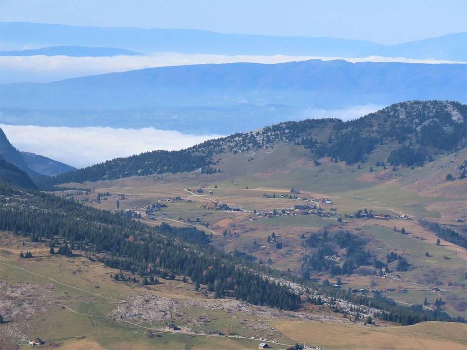 Photo: Rémih · CC BY-SA 4.0 · Wikimedia Commons
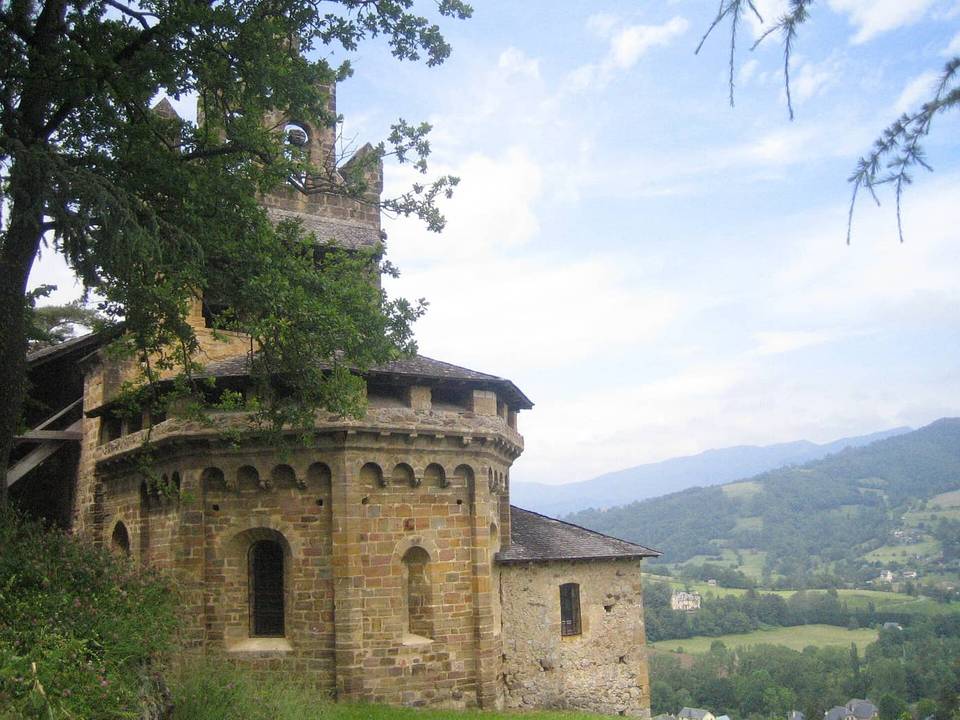 Photo: Byron Lee · CC BY-SA 4.0 · Wikimedia Commons
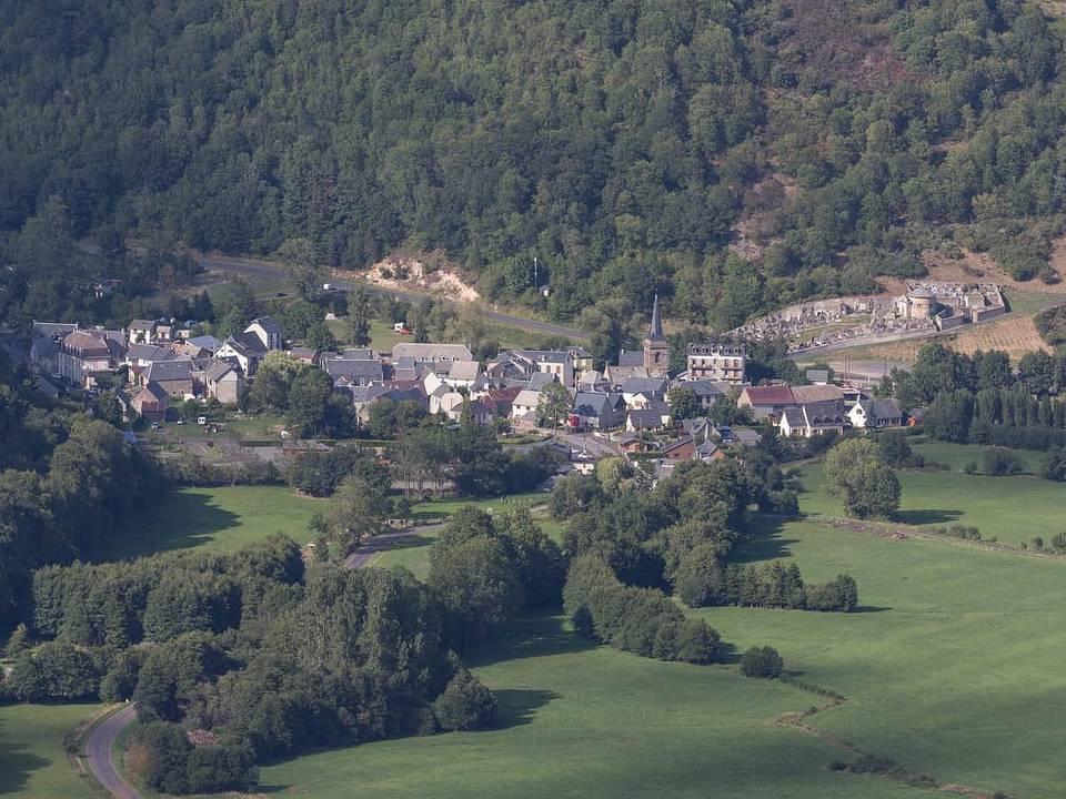 Photo: Pymouss · CC BY-SA 4.0 · Wikimedia Commons
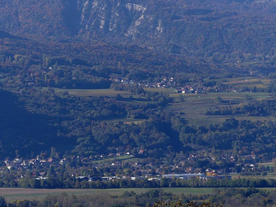 Photo: Florian Pépellin · CC BY-SA 4.0 · Wikimedia Commons
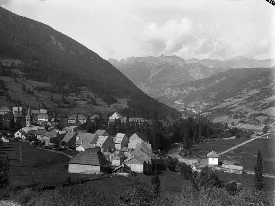 Photo: Ferrand, Henri (1853-1926). Photographe · Public domain · Wikimedia Commons
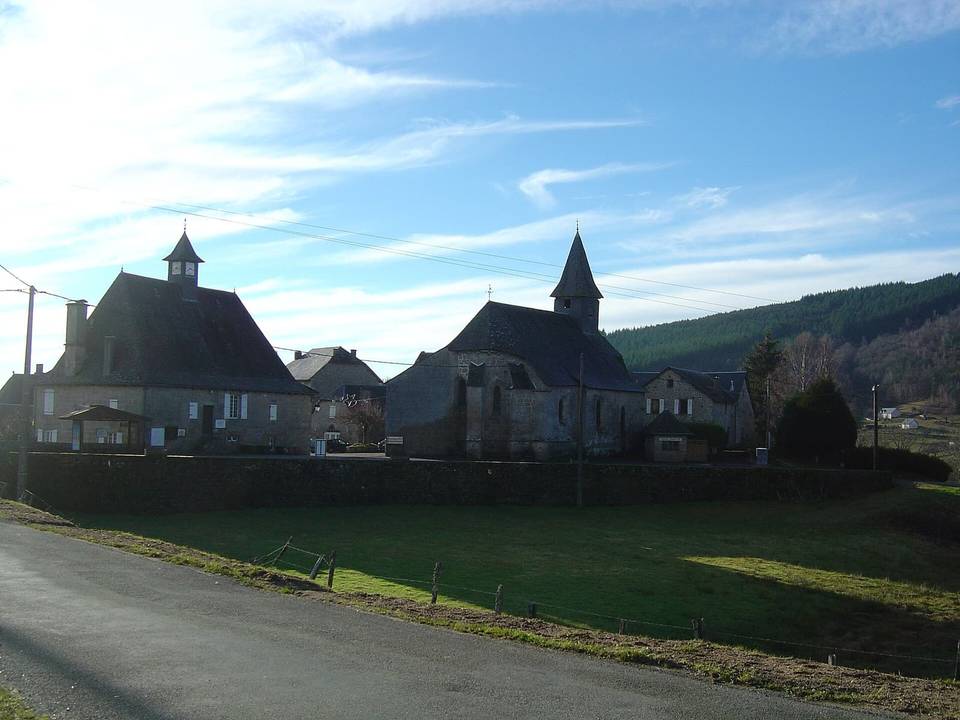 Photo: Anthospace · CC BY-SA 3.0 · Wikimedia Commons
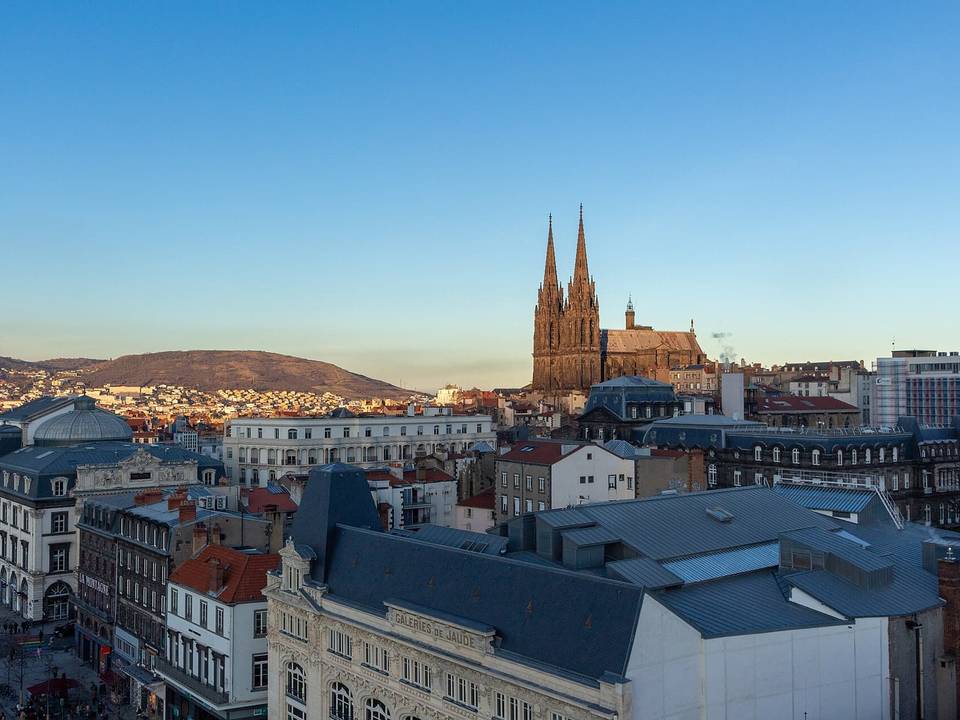 Photo: bebatut · CC BY-SA 2.0 · Wikimedia Commons
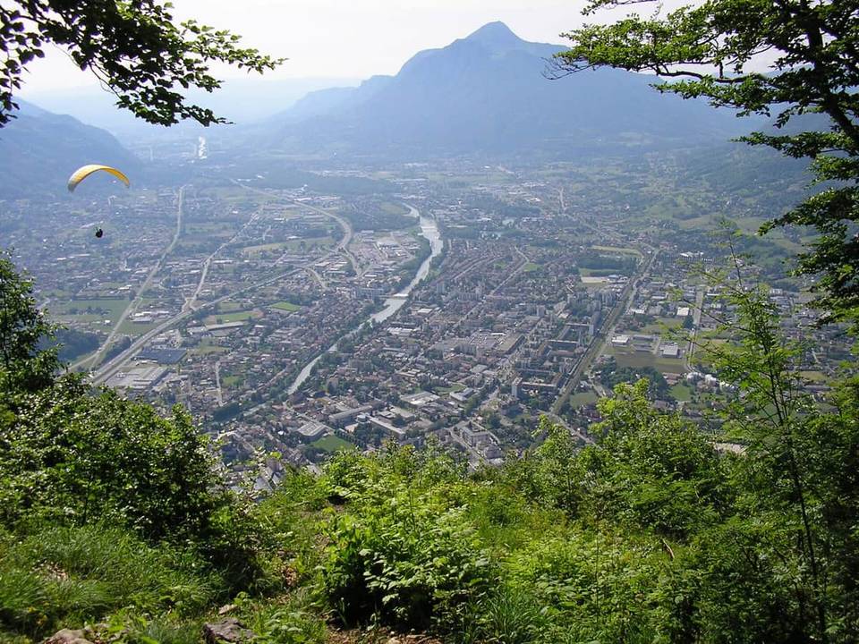 Photo: Sébastien Bruneau · CC BY-SA 3.0 · Wikimedia Commons
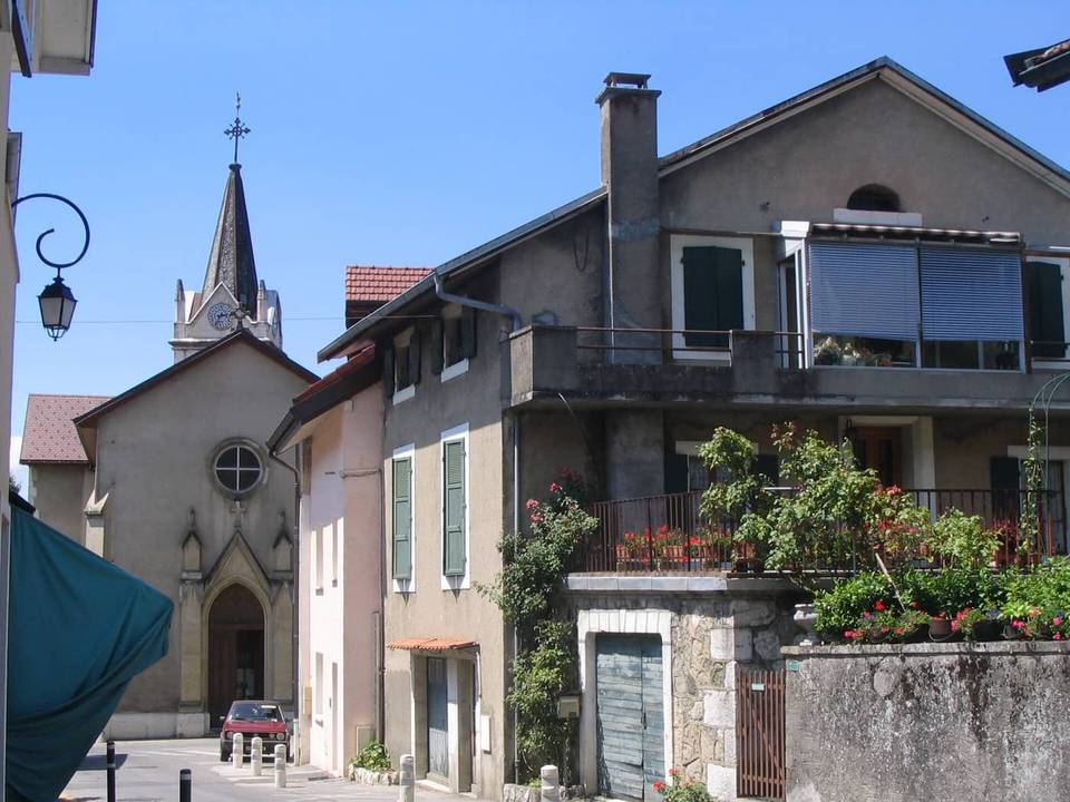 Photo: Patrice78500 · Public domain · Wikimedia Commons
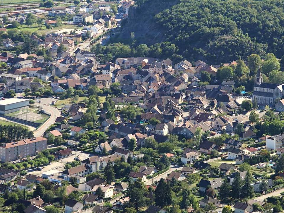 Photo: Chabe01 · CC BY-SA 4.0 · Wikimedia Commons
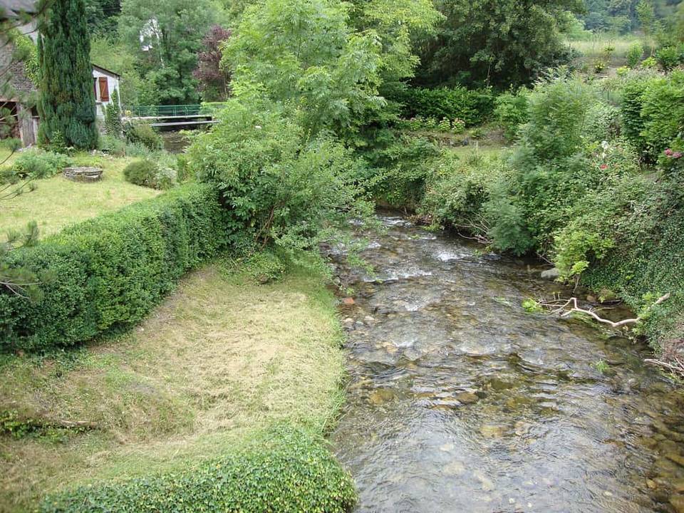 Photo: Havang(nl) · CC0 · Wikimedia Commons
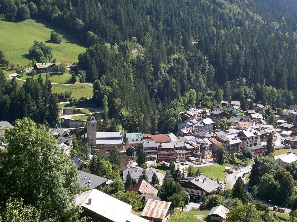 Photo: Yakouful · Public domain · Wikimedia Commons
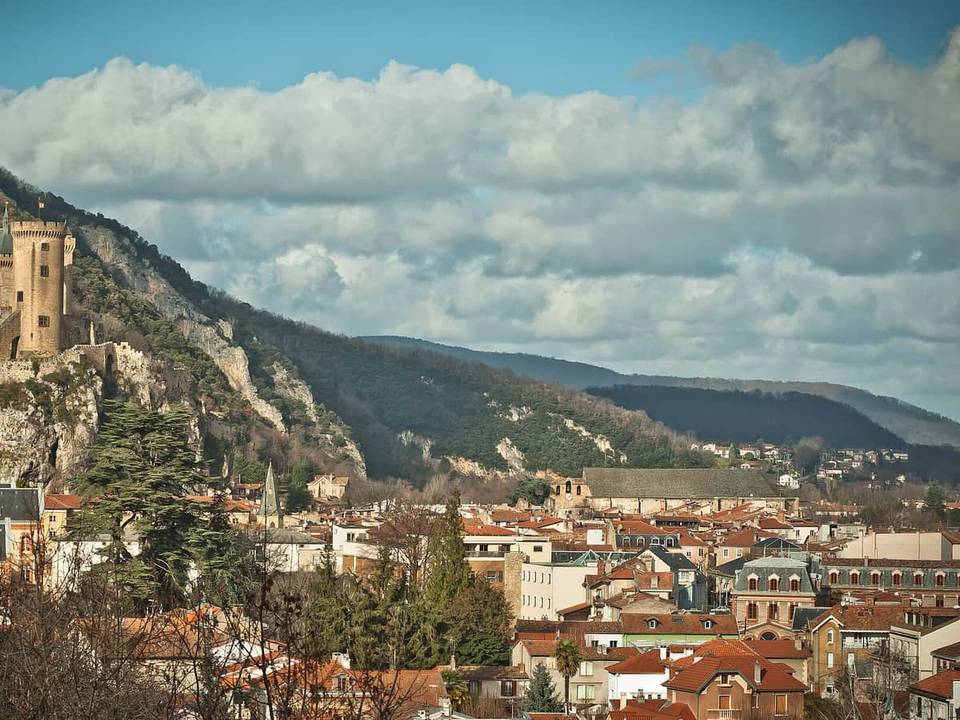 Photo: BastienM · CC BY-SA 3.0 · Wikimedia Commons
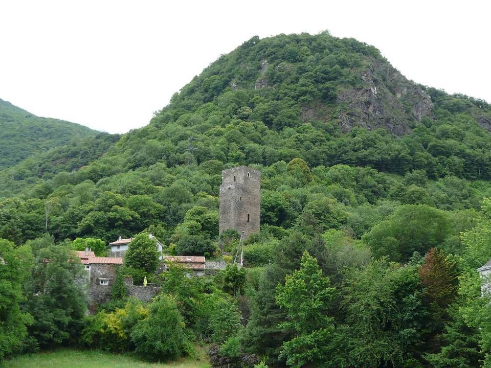 Photo: Père Igor · CC BY-SA 3.0 · Wikimedia Commons
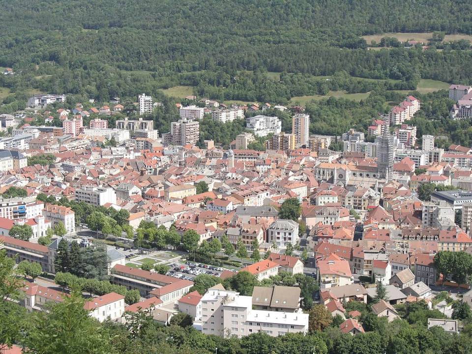 Photo: Le corrigateur · CC BY-SA 4.0 · Wikimedia Commons
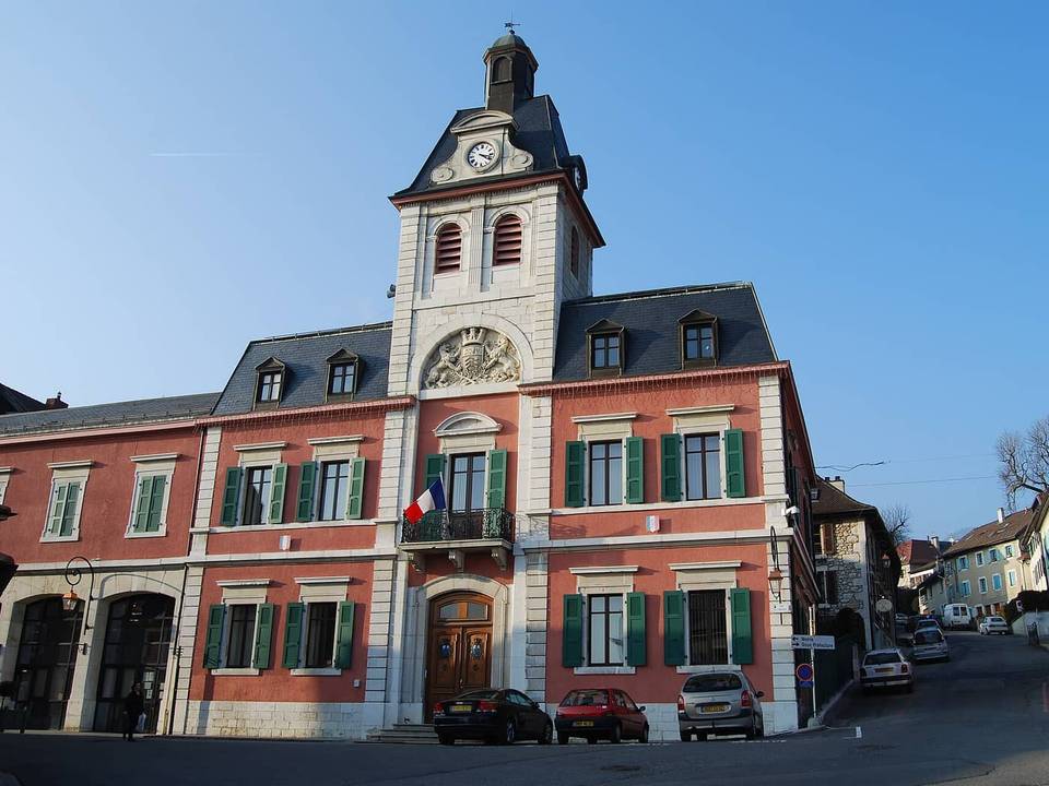 Photo: Pierre73 · CC BY-SA 3.0 · Wikimedia Commons
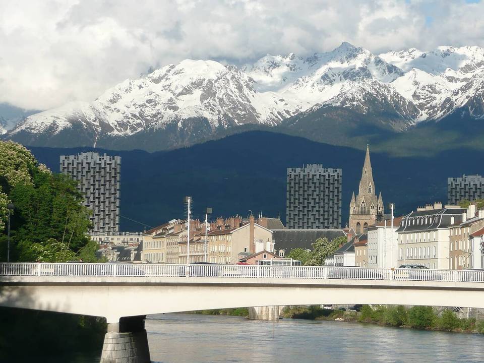 Photo: Brücke-Osteuropa · Public domain · Wikimedia Commons
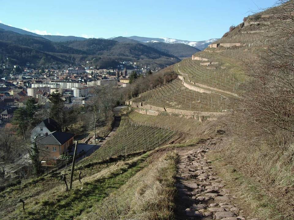 Photo: Florival fr · CC BY-SA 3.0 · Wikimedia Commons
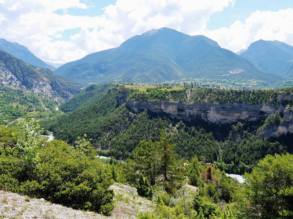 Photo: Zairon · CC BY 4.0 · Wikimedia Commons
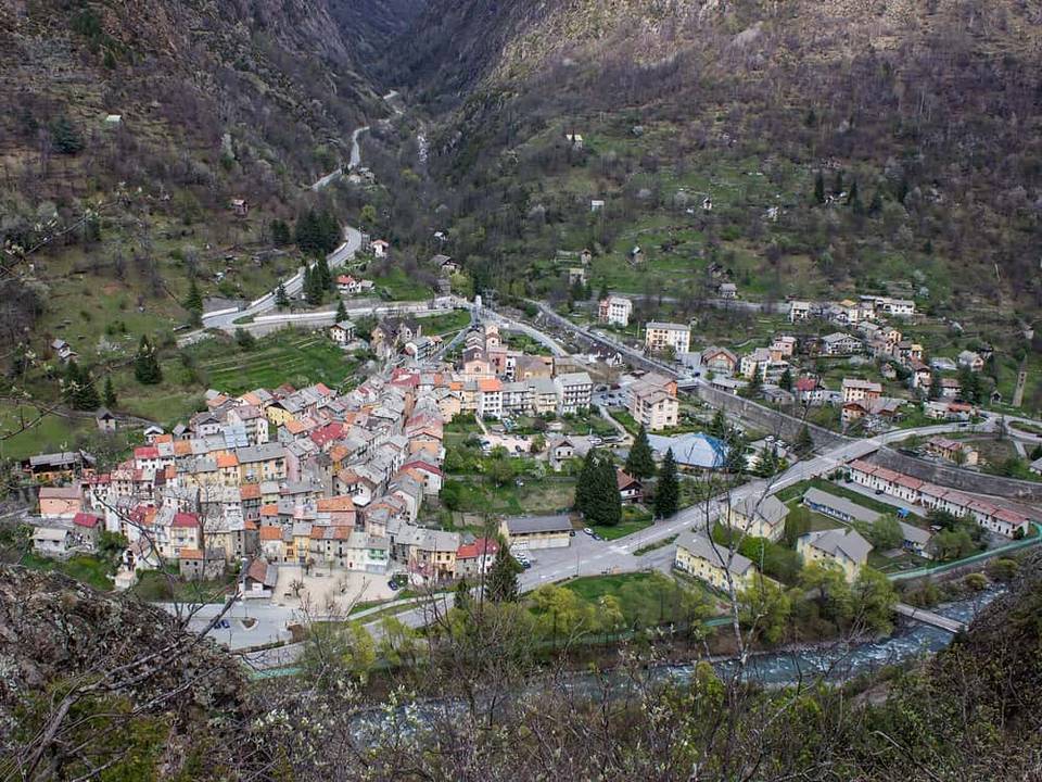 Photo: Spitfire06 · CC BY-SA 4.0 · Wikimedia Commons
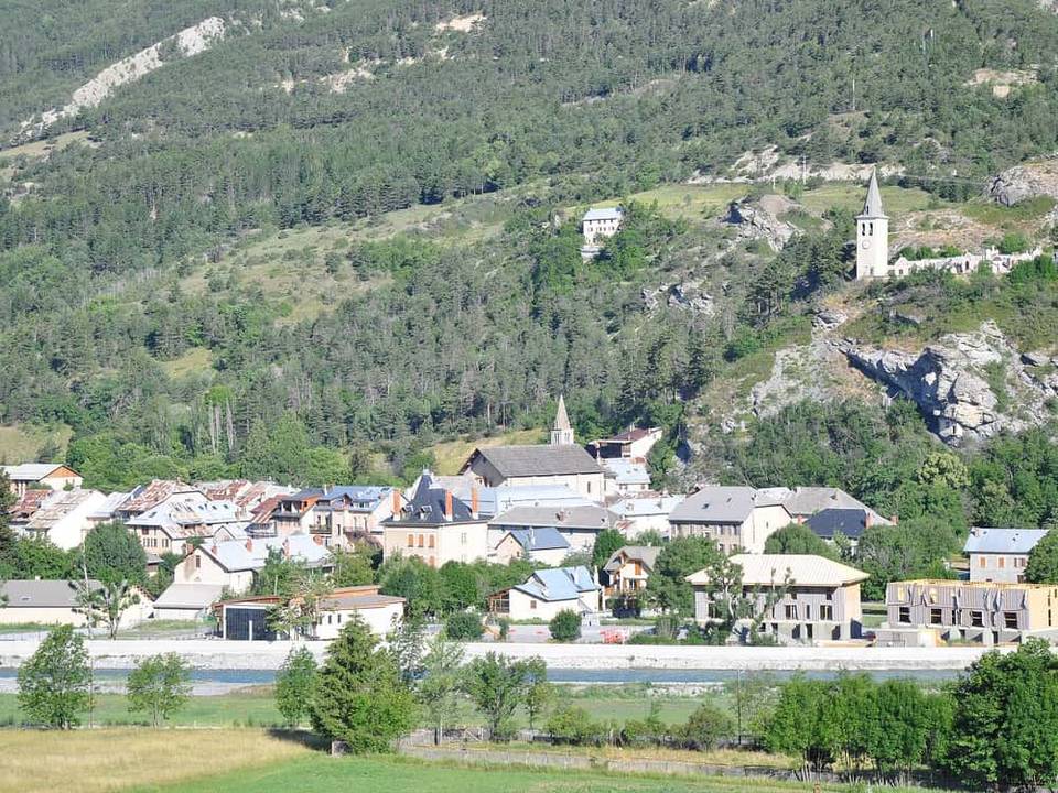 Photo: Alpes de Haute Provence · CC BY 2.0 · Wikimedia Commons
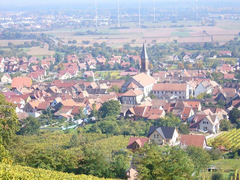 Photo: Bernard Chenal · CC BY-SA 3.0 · Wikimedia Commons
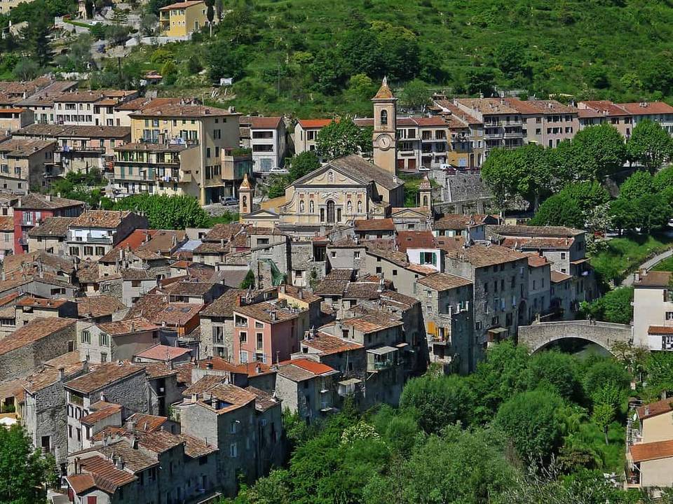 Photo: Jpchevreau · CC BY-SA 3.0 · Wikimedia Commons
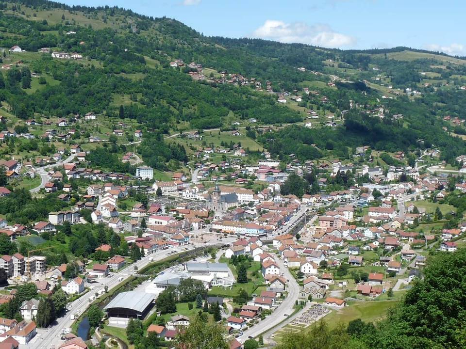 Photo: Epiceavert · CC BY-SA 3.0 · Wikimedia Commons
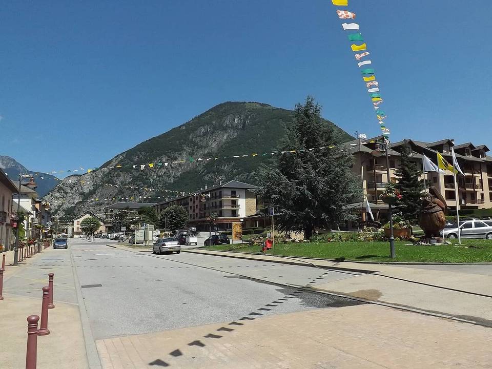 Photo: Florian Pépellin · CC BY-SA 3.0 · Wikimedia Commons
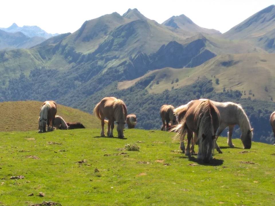 Photo: Luis Euskadi · CC BY-SA 4.0 · Wikimedia Commons
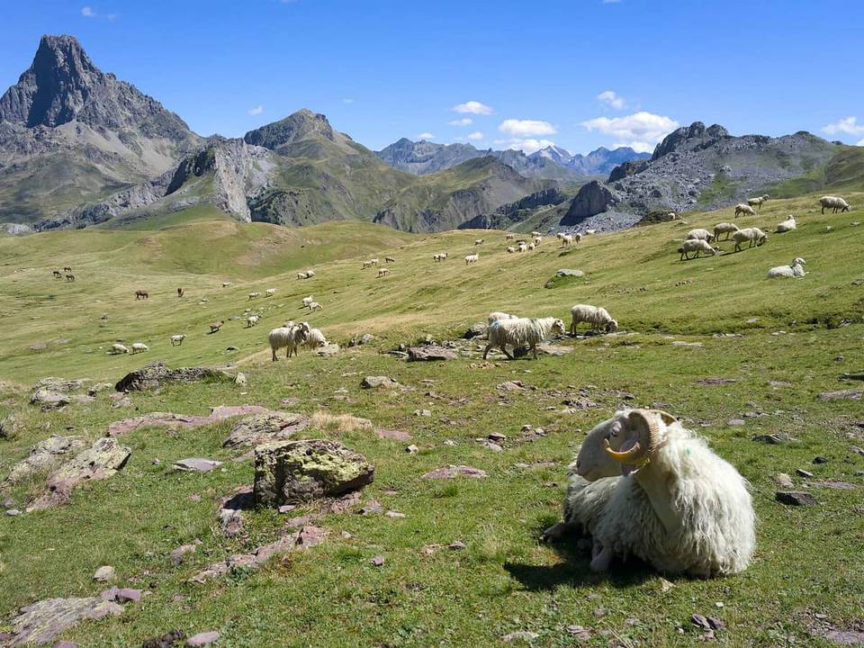 Photo: Frank Markesteijn · CC BY-SA 4.0 · Wikimedia Commons
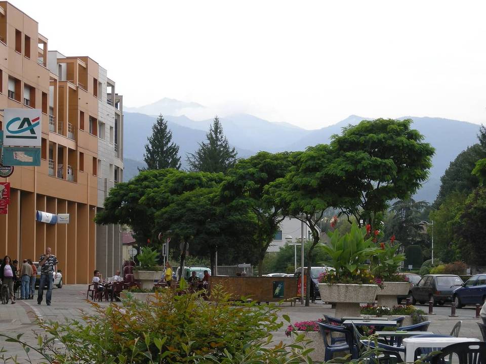 Photo: Ji-Elle · Public domain · Wikimedia Commons
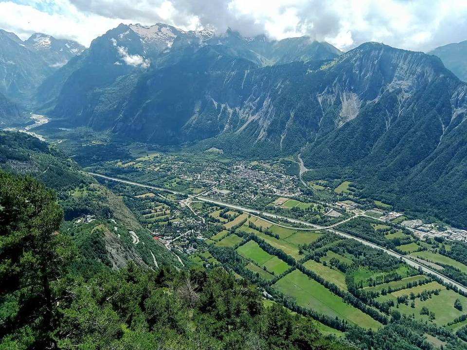 Photo: Rémih · CC BY-SA 4.0 · Wikimedia Commons
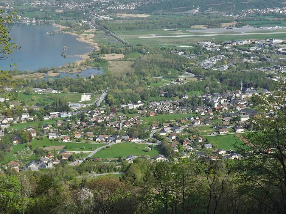 Photo: Florian Pépellin · CC BY-SA 3.0 · Wikimedia Commons
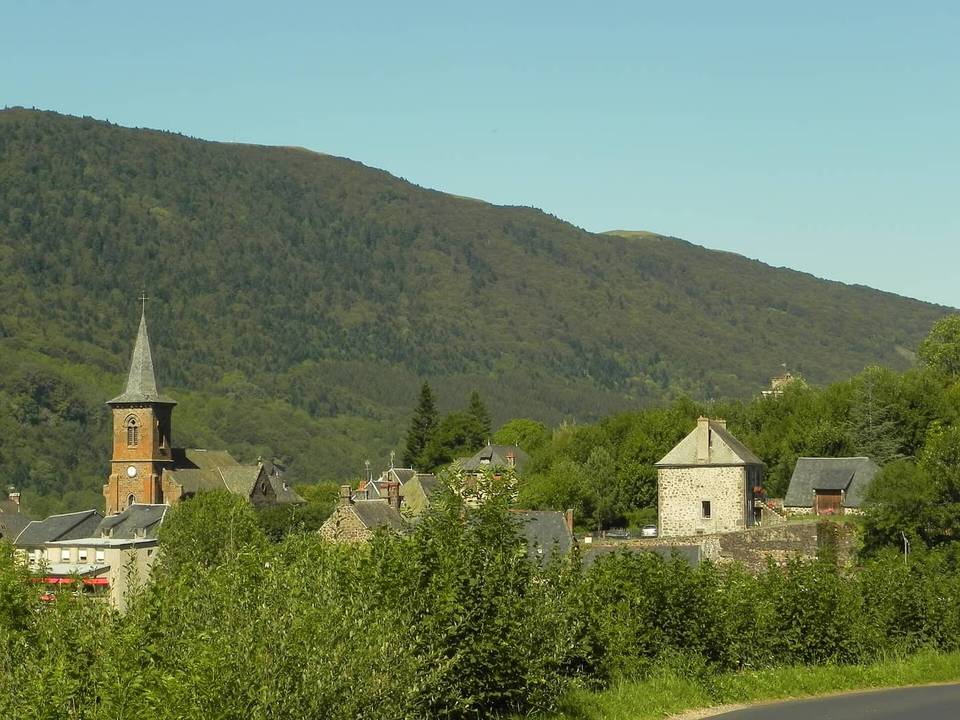 Photo: Patrick Nouhailler · CC BY 3.0 · Wikimedia Commons
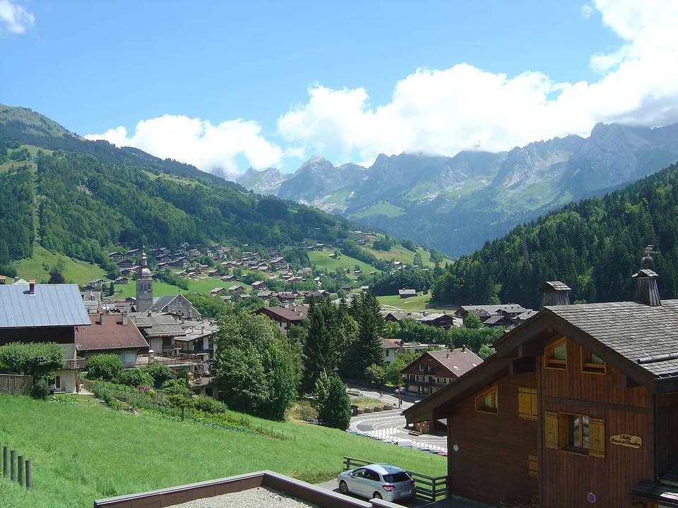 Photo: Anthospace · CC BY-SA 3.0 · Wikimedia Commons
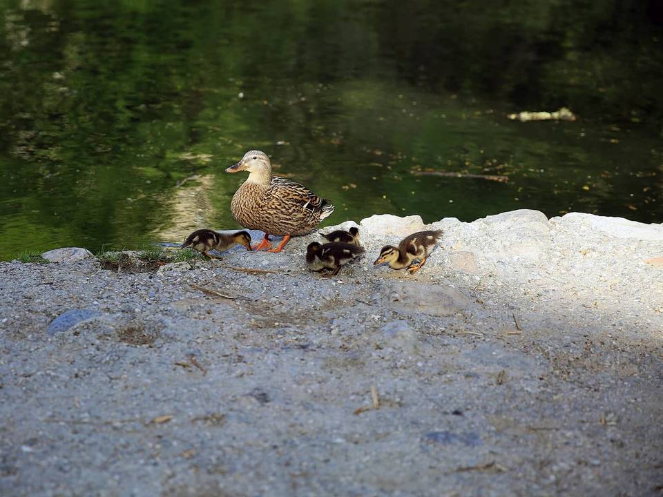 Photo: Isasza · CC0 · Wikimedia Commons
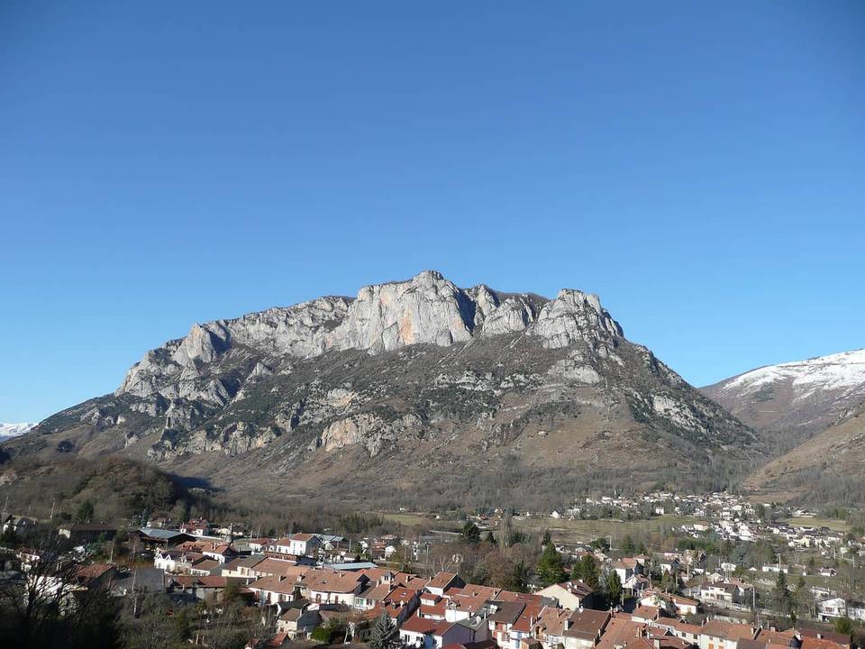 Photo: Pey09 · Public domain · Wikimedia Commons
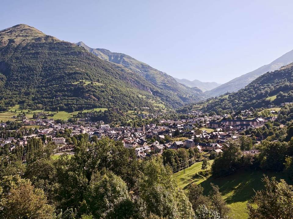 Photo: Jean-Christophe BENOIST · CC BY 3.0 · Wikimedia Commons
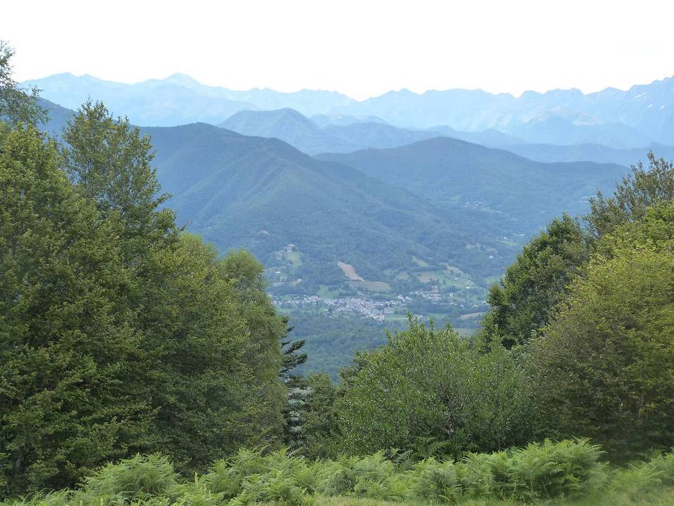 Photo: Daieuxetdailleurs · CC BY-SA 4.0 · Wikimedia Commons
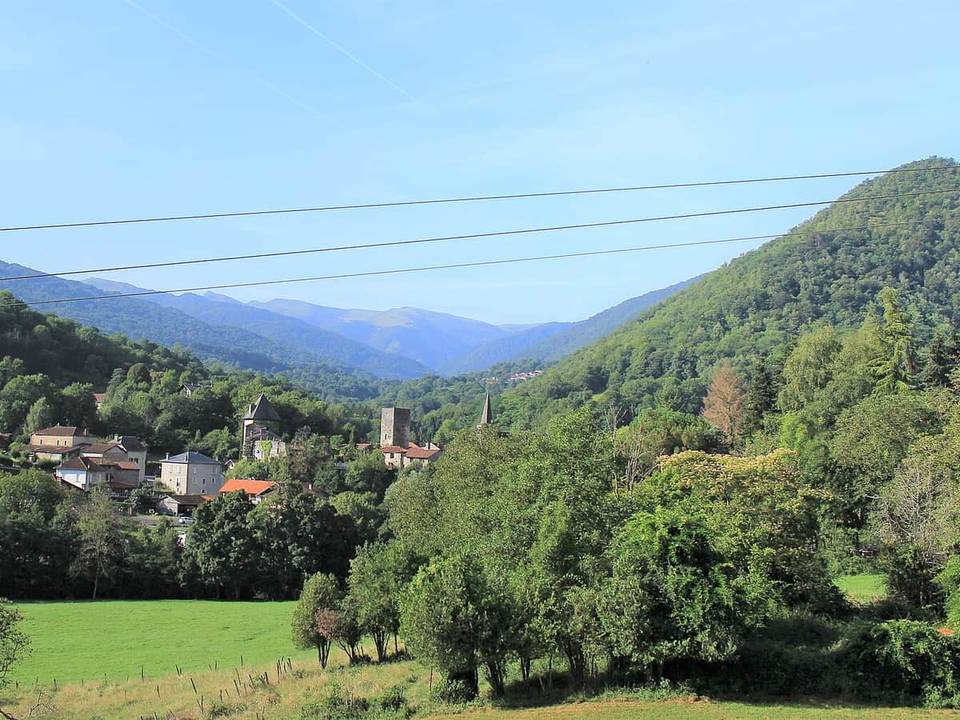 Photo: Sotos · CC BY-SA 4.0 · Wikimedia Commons
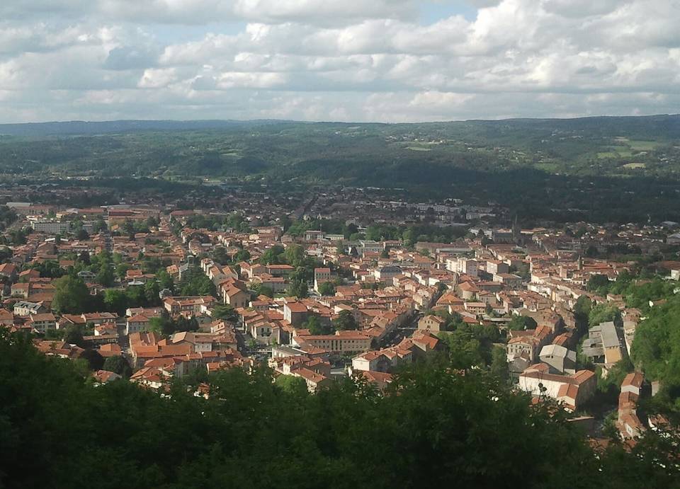 Photo: Fabricio Cardenas · CC BY-SA 4.0 · Wikimedia Commons
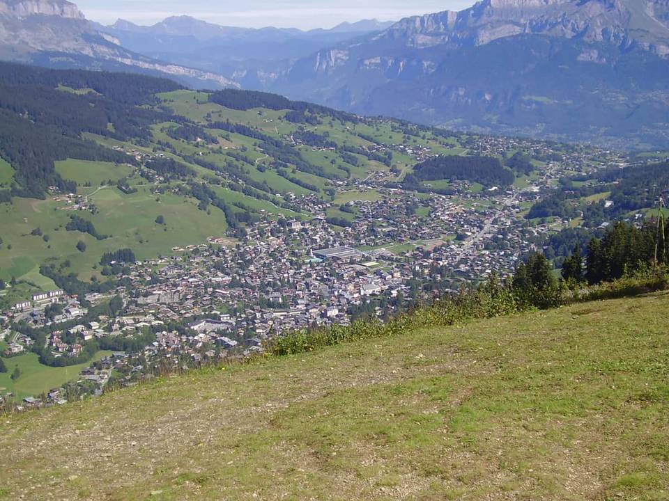 Photo: Tabl-trai · CC BY-SA 3.0 · Wikimedia Commons
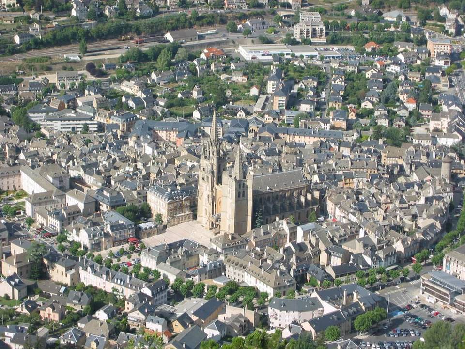 Photo: User:civodule · CC BY-SA 3.0 · Wikimedia Commons
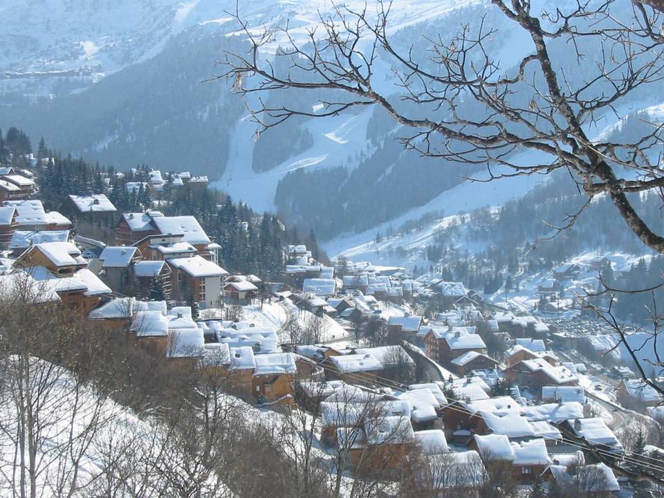 Photo: User:Brice · CC BY-SA 3.0 · Wikimedia Commons
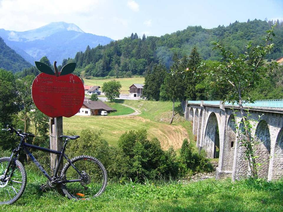 Photo: jambon, Christ Martin · Public domain · Wikimedia Commons
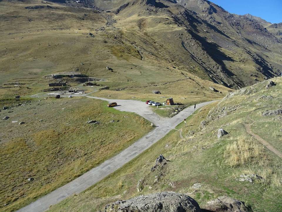 Photo: Remontees · CC BY-SA 4.0 · Wikimedia Commons
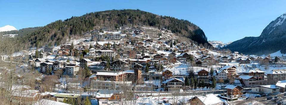 Photo: The original uploader was Snip at French Wikipedia. · CC BY-SA 1.0 · Wikimedia Commons
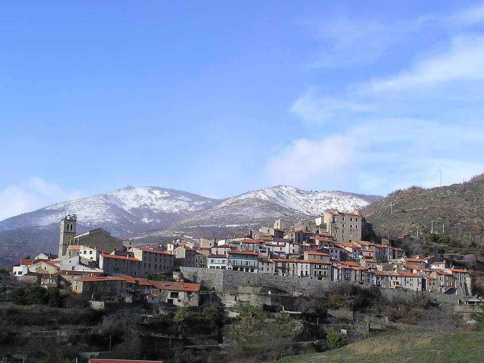 Photo: Laurent HOMBROUCK 2004 · CC BY-SA 3.0 · Wikimedia Commons
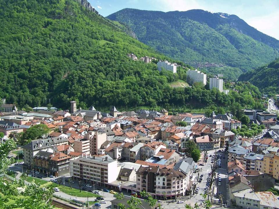 Photo: Florian Pépellin · CC BY-SA 3.0 · Wikimedia Commons
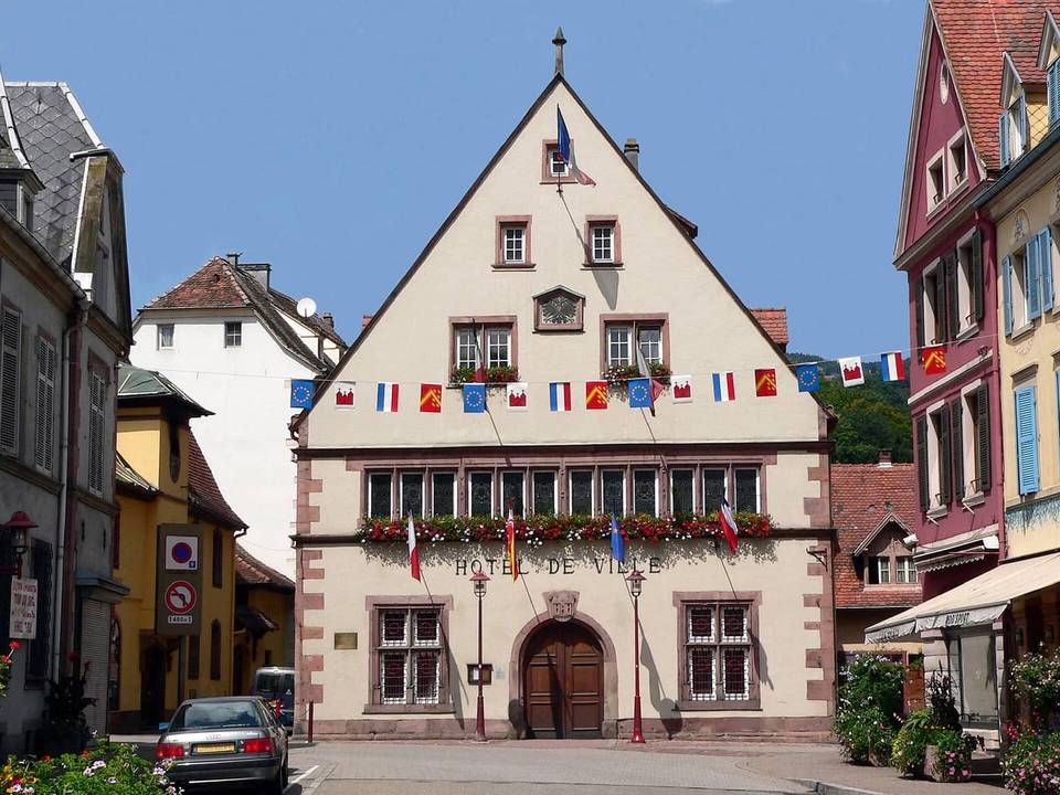 Photo: Wernain Samuel at French Wikipedia · CC BY-SA 3.0 · Wikimedia Commons
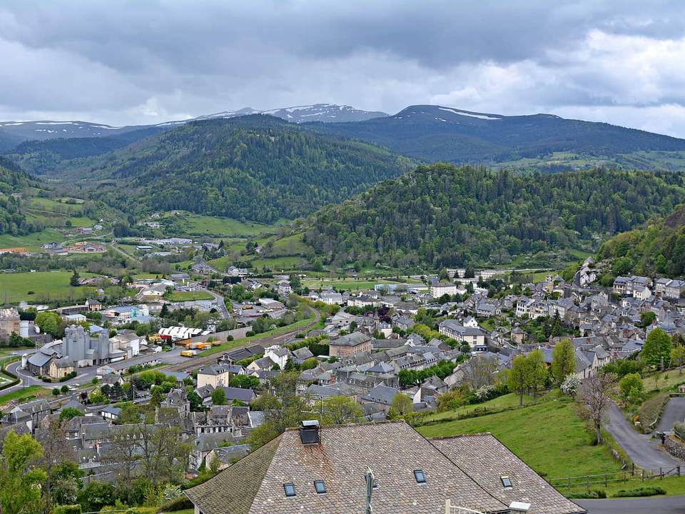 Photo: Pline · CC BY-SA 3.0 · Wikimedia Commons
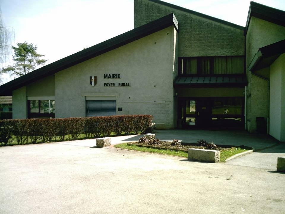 Photo: User:Jejecam · CC BY-SA 3.0 · Wikimedia Commons
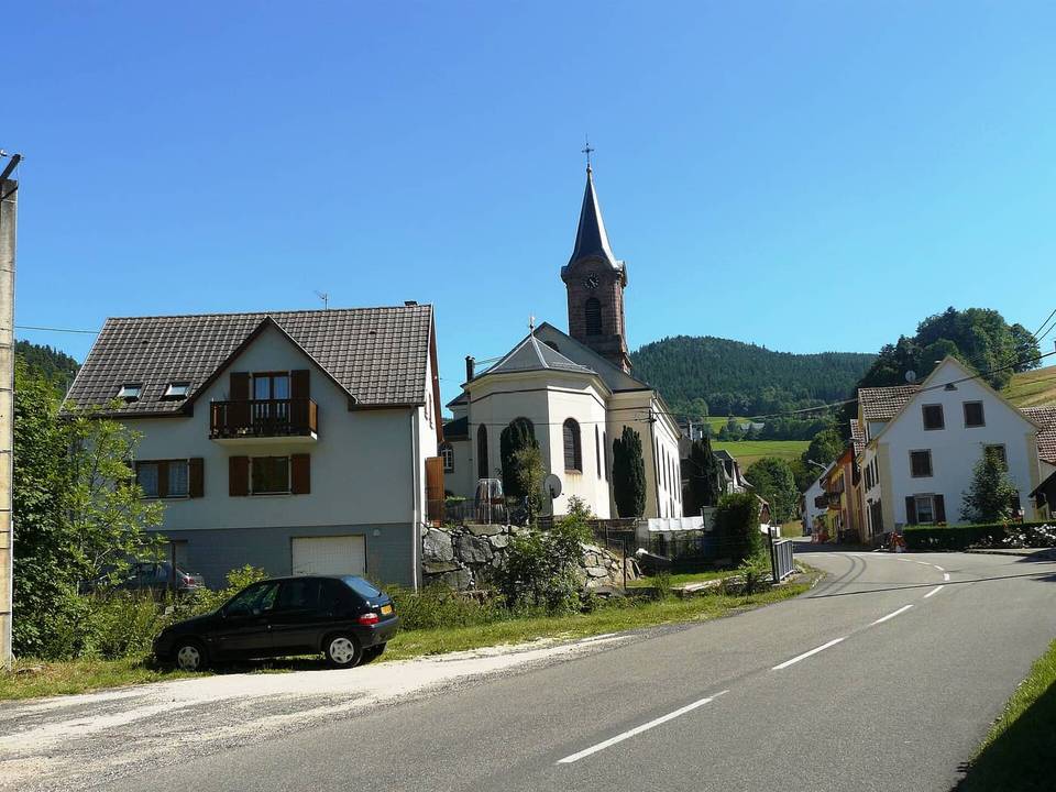 Photo: Bernard Chenal · CC BY-SA 4.0 · Wikimedia Commons
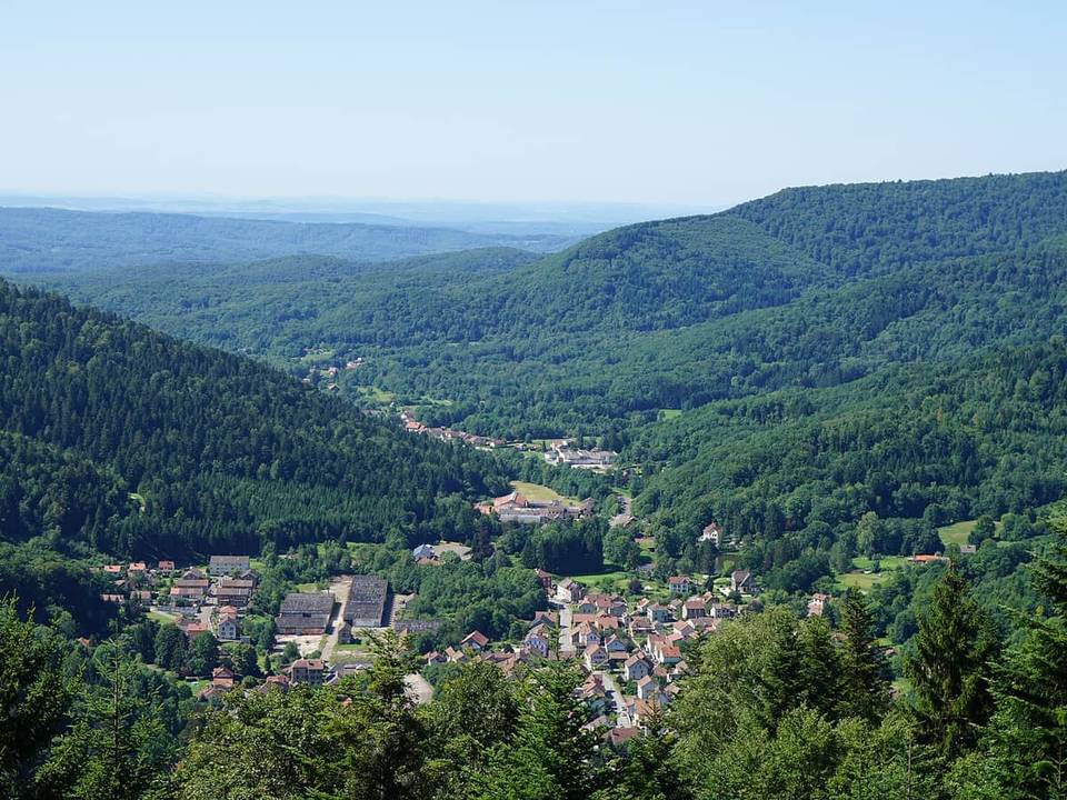 Photo: A.BourgeoisP · CC BY-SA 4.0 · Wikimedia Commons
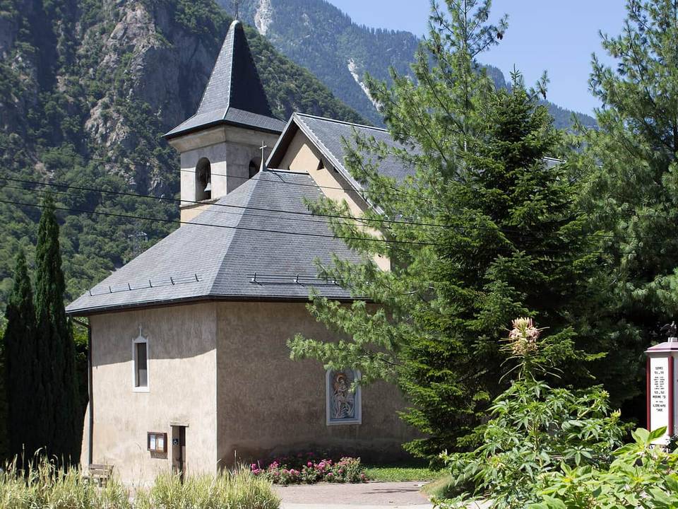 Photo: Poudou99 · CC BY-SA 3.0 · Wikimedia Commons
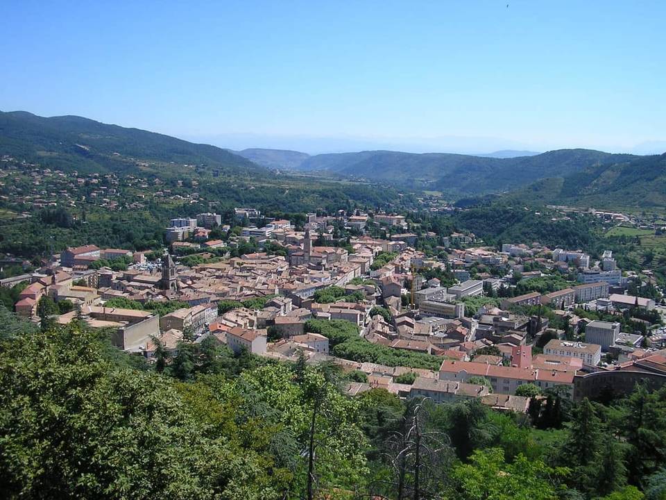 Photo: Anotine · CC BY-SA 3.0 · Wikimedia Commons
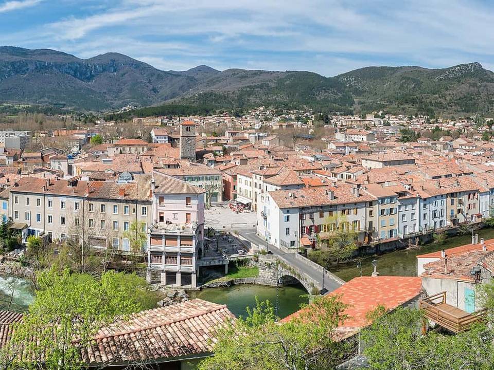 Photo: Krzysztof Golik · CC BY-SA 4.0 · Wikimedia Commons
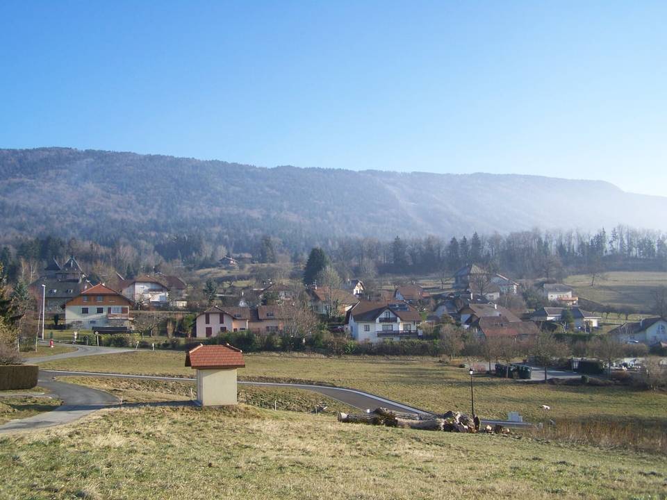 Photo: Florian Pépellin (Floflo) · CC BY-SA 3.0 · Wikimedia Commons
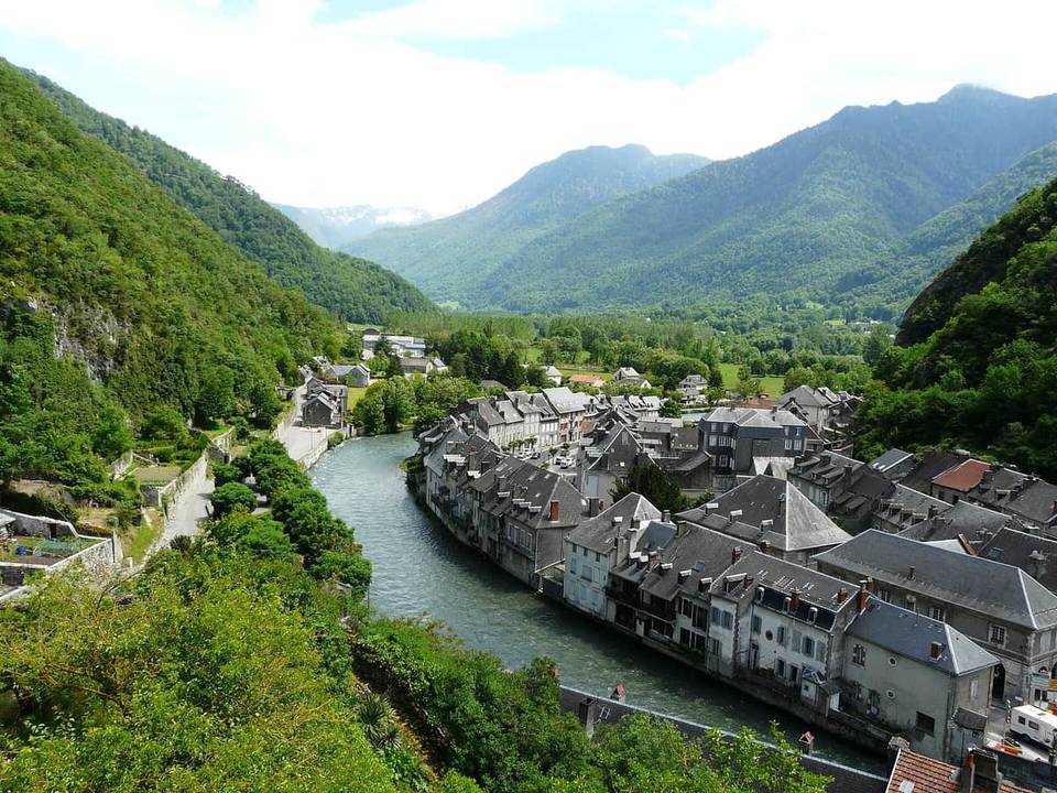 Photo: Père Igor · CC BY-SA 3.0 · Wikimedia Commons
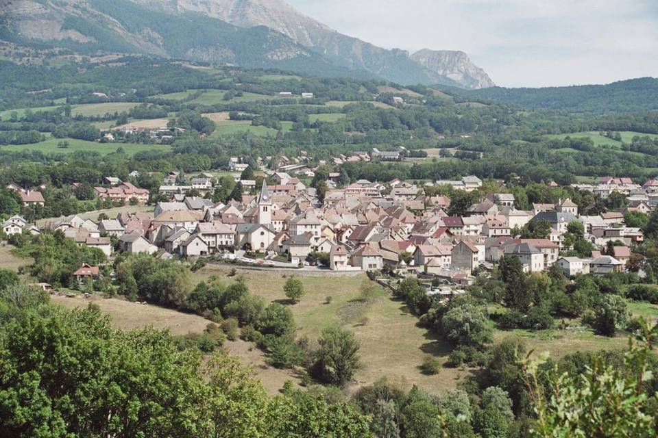 Photo: Fr.Latreille · CC BY-SA 3.0 · Wikimedia Commons
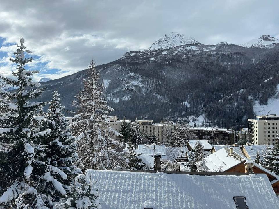 Photo: Louis Barret · CC0 · Wikimedia Commons
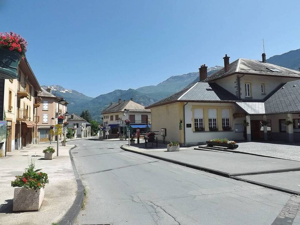 Photo: Florian Pépellin · CC BY-SA 3.0 · Wikimedia Commons
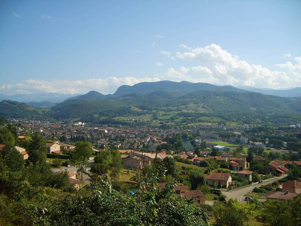 Photo: Olybrius · CC BY-SA 3.0 · Wikimedia Commons
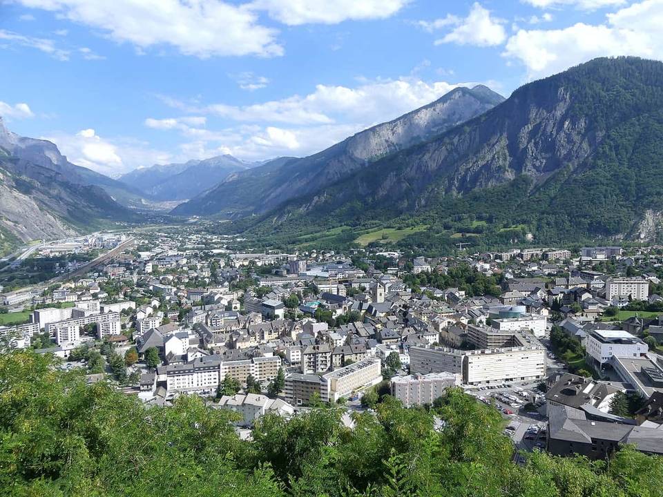 Photo: Florian Pépellin · CC BY-SA 4.0 · Wikimedia Commons
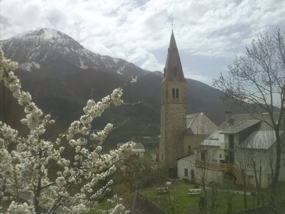 Photo: Bildoj · CC BY-SA 3.0 · Wikimedia Commons
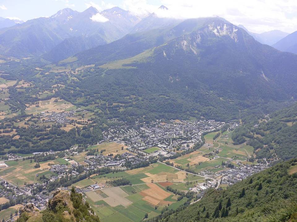 Photo: Lanzonnet · Public domain · Wikimedia Commons
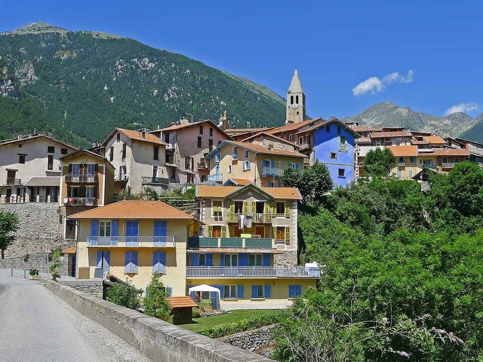 Photo: Jpchevreau · CC BY-SA 3.0 · Wikimedia Commons
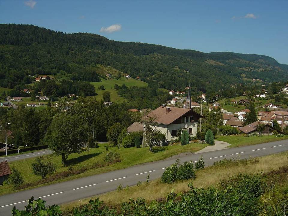 Photo: Anthospace · CC BY-SA 3.0 · Wikimedia Commons
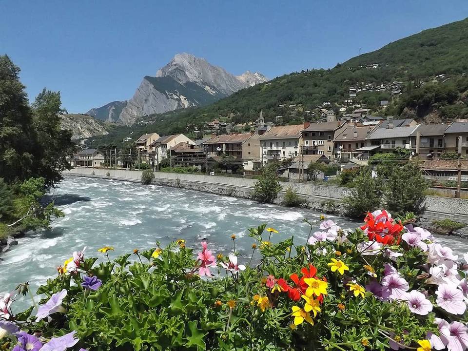 Photo: Florian Pépellin · CC BY-SA 3.0 · Wikimedia Commons
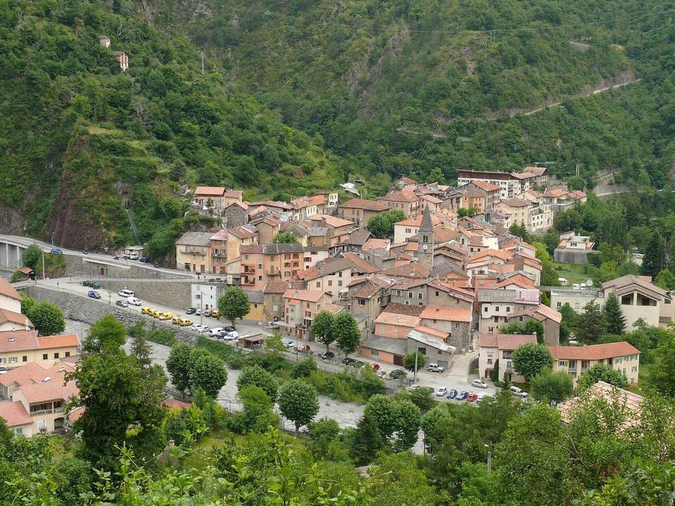 Photo: MOSSOT · CC BY 3.0 · Wikimedia Commons
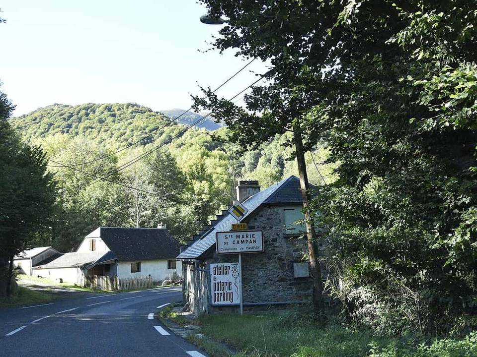 Photo: Paul Hermans · CC BY-SA 4.0 · Wikimedia Commons
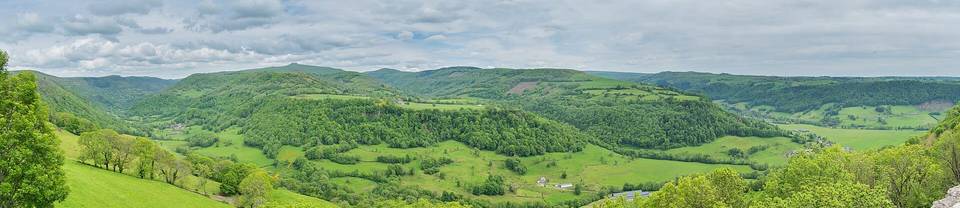 Photo: Tournasol7 · CC BY 4.0 · Wikimedia Commons
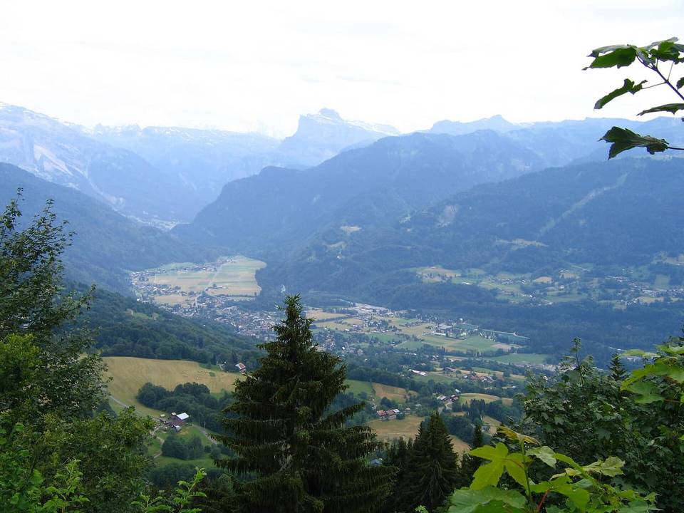 Photo: Christophe Martin · Public domain · Wikimedia Commons
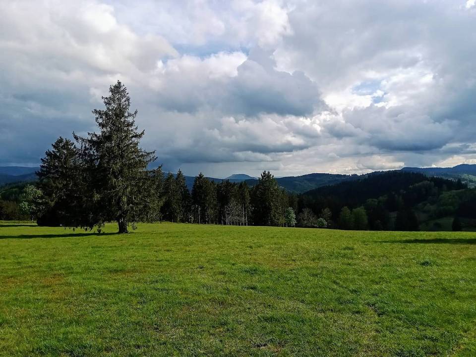 Photo: Rémih · CC BY-SA 4.0 · Wikimedia Commons
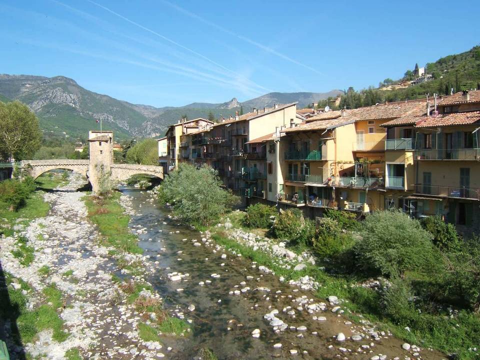 Photo: Rundvald · Public domain · Wikimedia Commons
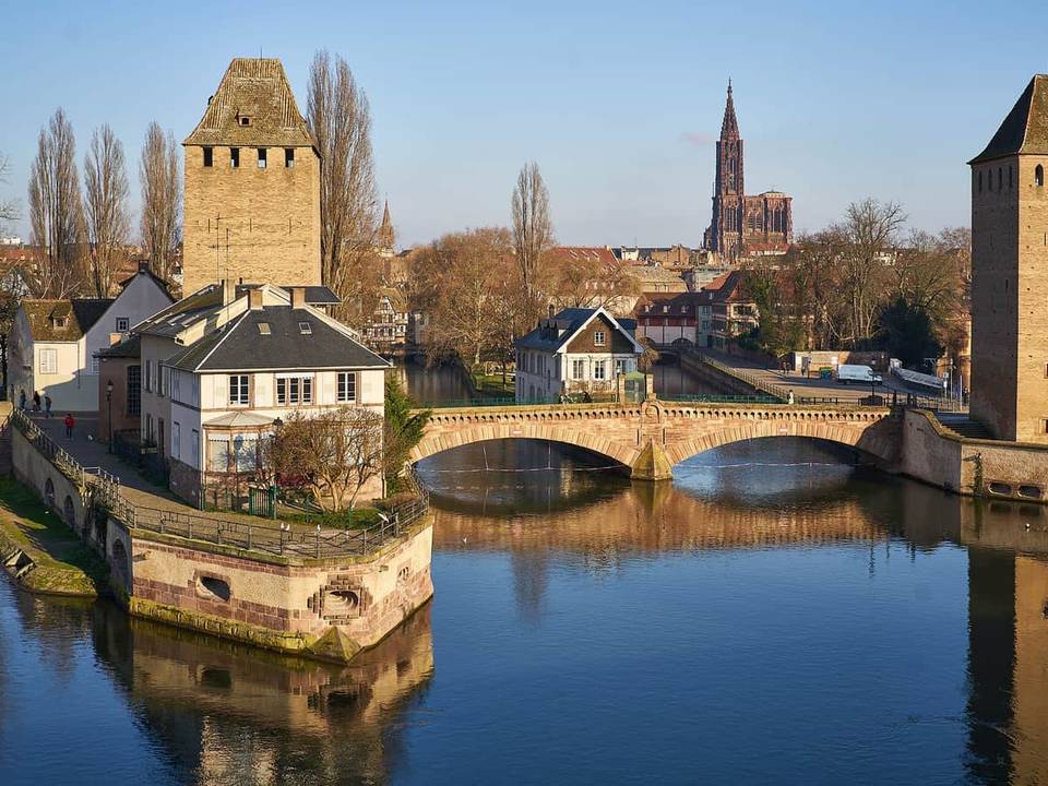 Photo: Radek Kucharski · CC BY 2.0 · Wikimedia Commons
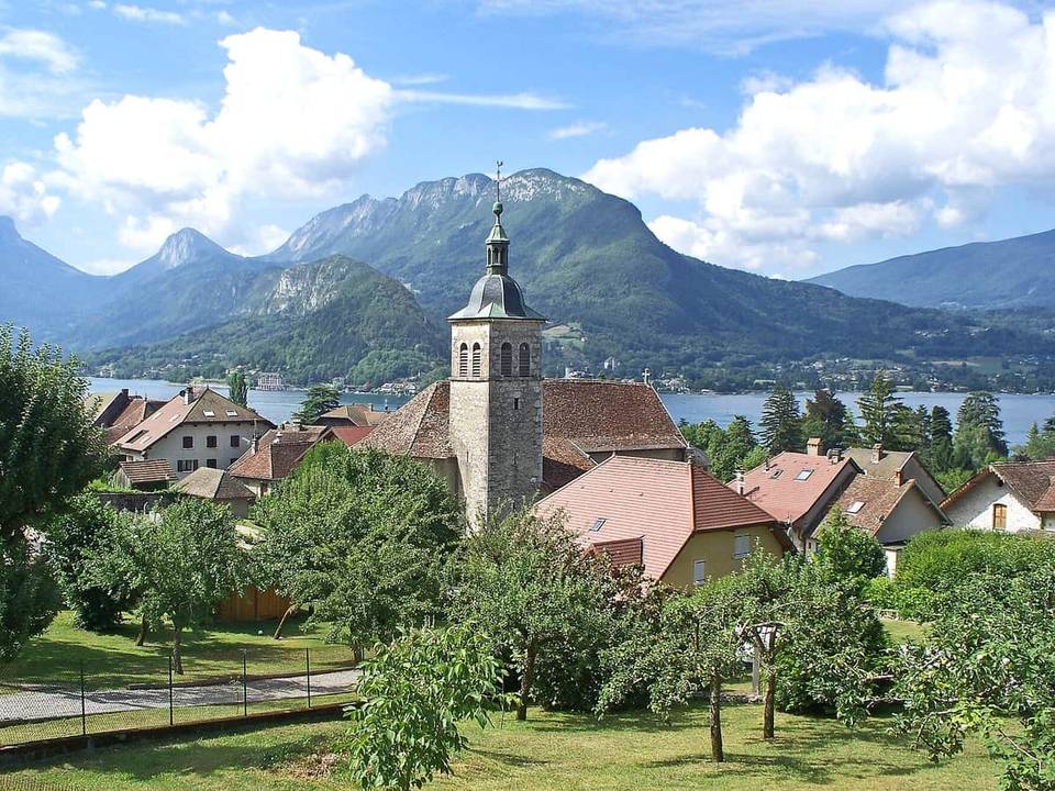 Photo: Serge LAURENT · CC BY-SA 3.0 · Wikimedia Commons
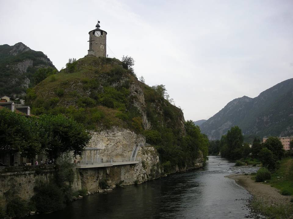 Photo: Ji-Elle · Public domain · Wikimedia Commons
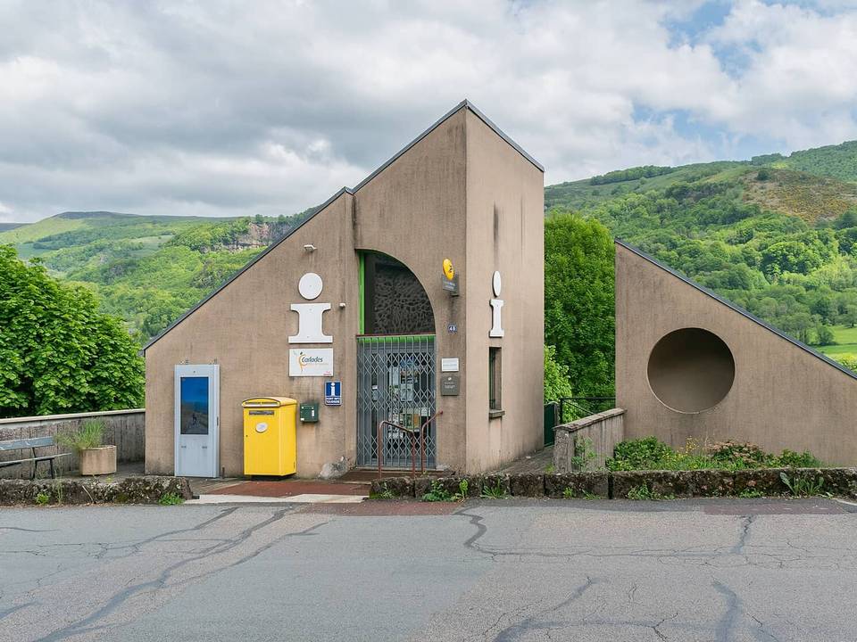 Photo: Tournasol7 · CC BY 4.0 · Wikimedia Commons
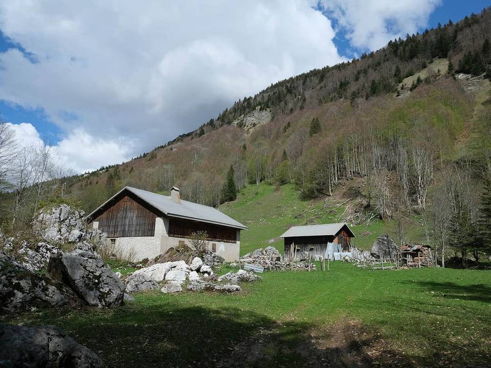 Photo: Guilhem Vellut from Annecy, France · CC BY 2.0 · Wikimedia Commons
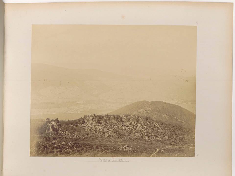 Photo: Braun, Adolphe (1812-1877). Photographe · Public domain · Wikimedia Commons
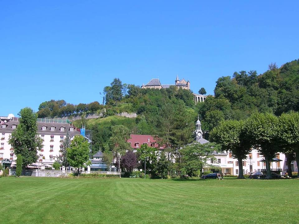 Photo: Patafisik · CC BY-SA 3.0 · Wikimedia Commons
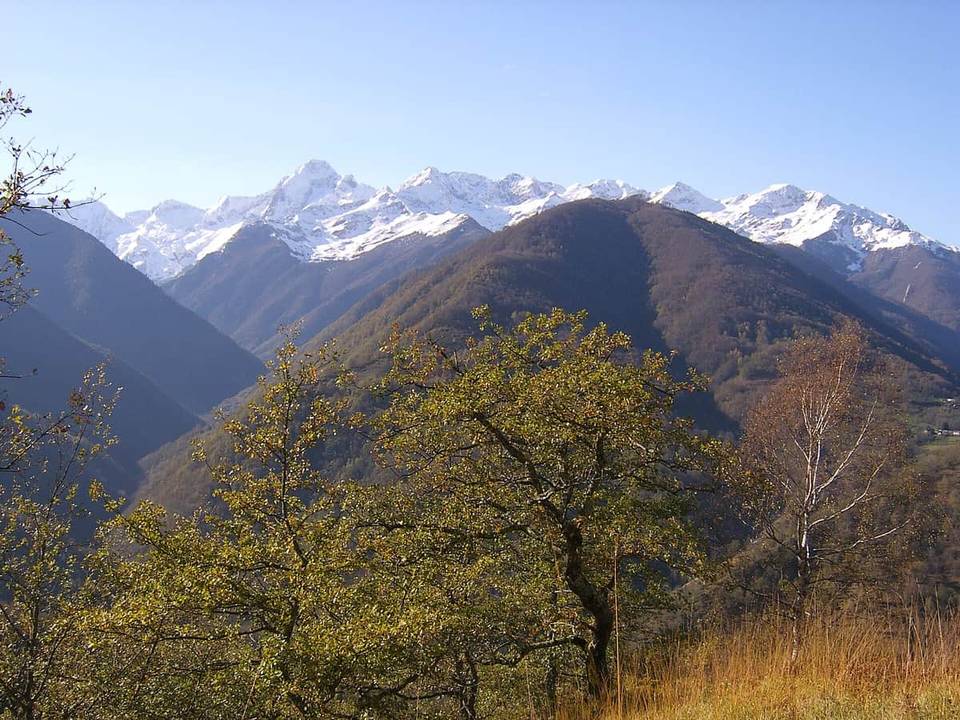 Photo: User:JiPee · Public domain · Wikimedia Commons
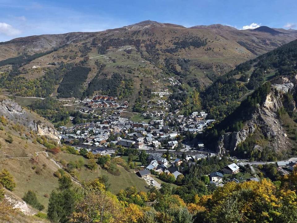 Photo: Florian Pépellin · CC BY-SA 3.0 · Wikimedia Commons
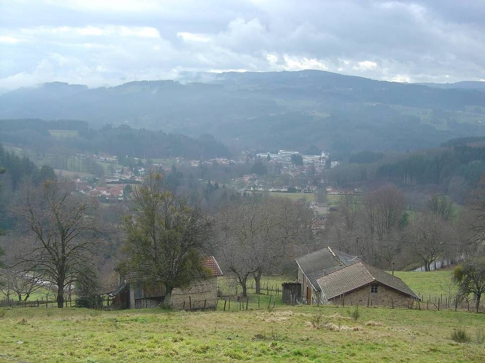 Photo: Anthospace · CC BY-SA 3.0 · Wikimedia Commons
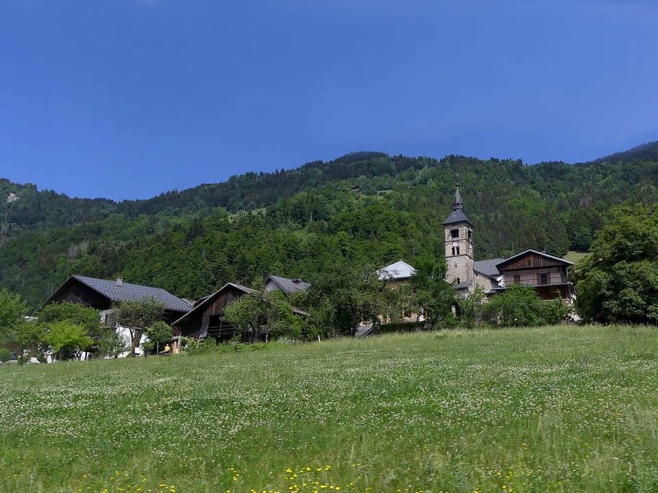 Photo: Florian Pépellin · CC BY-SA 4.0 · Wikimedia Commons
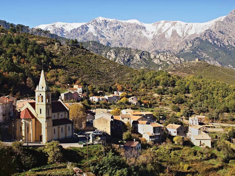 Photo: Pierre Bona · CC BY-SA 3.0 · Wikimedia Commons
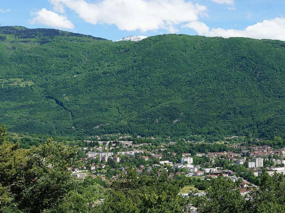 Photo: Jvillafruela · CC BY-SA 3.0 · Wikimedia Commons
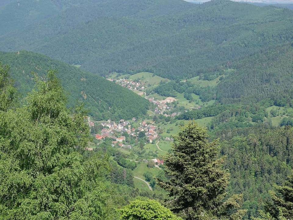 Photo: Gzen92 · CC BY-SA 4.0 · Wikimedia Commons
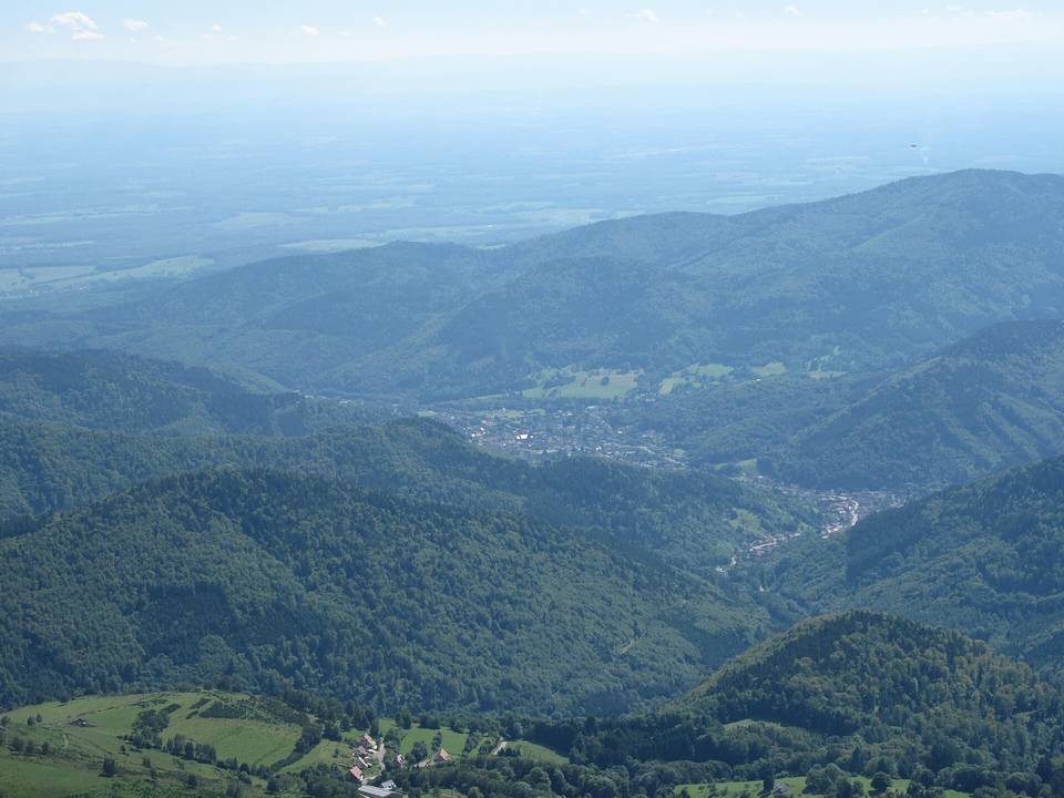 Photo: Tangopaso · Public domain · Wikimedia Commons