Road · France
A mountainous 25 km road cycling route from Arette through Ibarry, with 1,434 m of climbing over Pierre St Martin. Most of it (24.7 km) is on main roads without a cycle lane. The first 25 km has no café, shop or water.
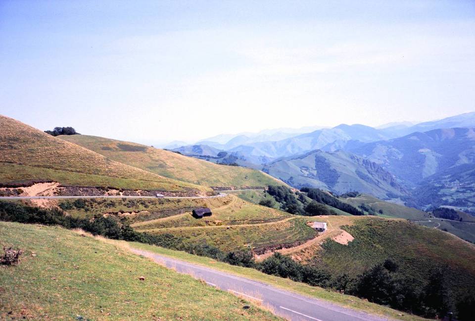
Starting from Arette at 326 m, the route follows the D 132 main road almost entirely for 25 km. The climb begins gently with two short sections of 1.7 km and 2.2 km gaining 44 m and 51 m at average gradients of about 2.5%. After 6.5 km, the main ascent stretches 18.7 km, climbing 1315 m at an average gradient of 7%, with steep sections up to 11.3% and a maximum recorded gradient of 22.8% over 500 m near the start.
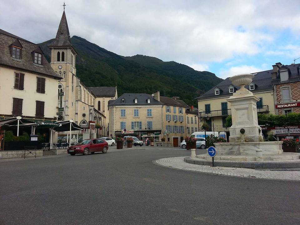
The route is 99% paved and mainly on main roads without cycle lanes. There is a single very short stretch of gravel. Facilities such as a bakery, convenience store, water point, toilets, and a bike shop are all located near the start in Arette. Beyond 0.2 km, there are no cafés, shops, or water points for the rest of the route. Notable nearby points include the château at the start and the Soum de Soudet peak close to 21.5 km.
| Climb | Starts at | On this ride | Full ascent | Top on this ride |
|---|---|---|---|---|
| Unnamed climb | 1.9 km | 1.7 km · 44 m · 2.6 % · max 3.6 % | — | 394 m |
| Unnamed climb | 4.1 km | 2.2 km · 51 m · 2.3 % · max 3.6 % | — | 445 m |
| Pierre St Martin | 6.5 km | 18.7 km · 1315 m · 7 % · max 11.3 % | 18.7 km · 1315 m · 7 % | 1760 m |
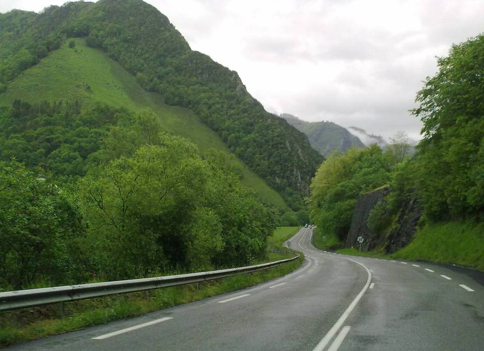
This is not a cycle-track route: 98% is on main roads without a cycle lane. Riders should be comfortable sharing the road with faster traffic.
The longest stretch without a café, shop or water is 25 km, from the start. Along the route: 3 cafés and restaurants, 2 shops, 2 water points, 3 public toilets and 2 bike shops.