
Cyclists.com

Port de Larrau from Larrau

Larrau, FranceRoad

Routed from the map This classic road was traced on OpenStreetMap and measured against the terrain model; no member has recorded it yet. Ridden it? Add your recording and photos.

12 km
Distance
928 m
Elevation gain
Moderate
Difficulty
Paved
Surface

Elevation profile

Total ascent
928 m
Distance
12 km
Elevation (m)05001,0001,5002,0000 km2.5 km5 km7.5 km10 km12 kmHighest point1,567 m at 12.0 kmStart0 kmFinish12 km

Route overview

Riders who want a short but steep climb with significant elevation gain.

A 12 km climb from Larrau to Port de Larrau in France with 928 m of elevation gain.

The route begins just outside Larrau at 639 m altitude and ascends for 11.8 km nearly continuously with an average gradient of 7.8% reaching 15% at its steepest. The climb finishes at Port de Larrau at 1,566 m elevation. The profile features 88% climbing with 8.6 km above 5% gradient and 4.2 km beyond 10% gradient, indicating a sustained and demanding ascent. The road surface is 99% paved and mainly on the D 26, a main road covering 11.7 km of the climb, all without cycle lanes. There is a 1% gravel/unpaved section. The longest stretch with no café, shop, or water is the entire climb from 0.2 to 12 km. At the start in Larrau, there are some facilities including a café, restaurant, pub, a convenience store 133 m off the route, drinking water at 0.2 km, and toilets. Nearby points of interest off route include Chapelle Saint-Joseph monument at 4.2 km and a viewpoint at Erroimendy 1350 m at 7.4 km.

Highlights

  • Climb from 639 m to 1566 m
  • Max gradient 15%
  • D 26 road for 11.7 km
  • Viewpoint at Erroimendy 1350 m

Along the route

Measured from the recorded track and OpenStreetMap.

Climbs

ClimbStarts atLengthGainAverageMaxTop
Larrau climb0.2 km11.8 km926 m7.8 %15 %1566 m

High point 1566 m at 12 km; low point 639 m.

Larrau climb · starts at 0.2 km

11.8 km at 7.9% · 926 m
800100012001400ELEVATION (M)7.9%13%11%10%9.4%2.3%2.1%2.6%9.7%8.3%0 km123456789101111.8 kmDISTANCE (KM)Larrau climb · 1,566 mSTEEPEST 13.3%
< 4%4 – 7%7 – 10%> 10%

What this ride is like

Measured from OpenStreetMap along the track and the elevation profile.

Roads
97% main road
Main roads
11.7 km on main roads without a cycle lane — likely busier
Main roads used
D 26 (12 km)
Surface
Paved throughout
Gradient
88% climbing · 1% descending · 11% flat
Steep sections
8.6 km over 5% · 7.1 km over 8% · 4.2 km over 10%

Along the way

Within a few hundred metres of the track, from OpenStreetMap. Opening hours change — treat this as where to look, not a promise.

Food, water and shops

  1. 0 kmCarricaburu · café · 40 m off route
  2. 0 kmConvenience store · 130 m off route
  3. 0 kmToilets · 70 m off route
  4. 0.2 kmLarrau · drinking water · on the route

Worth a stop

  • 4.2 kmChapelle Saint-Joseph (monument)
  • 7.4 kmErroimendy 1350m (viewpoint)

At the start

  • Carricaburu · café · 80 m
  • Larrau · drinking water · 130 m
  • Etchemaïte · restaurant · 130 m
  • Despouey · pub · 160 m

Practical information

Surface
Paved
Route shape
Point to point
Riding time
51 min

Know before you go

  • 11.7 km on main roads without a cycle lane
  • Longest stretch without café, shop or water is 11.8 km

Routes are for inspiration. Roads, surfaces and conditions change — check locally and ride within your limits.

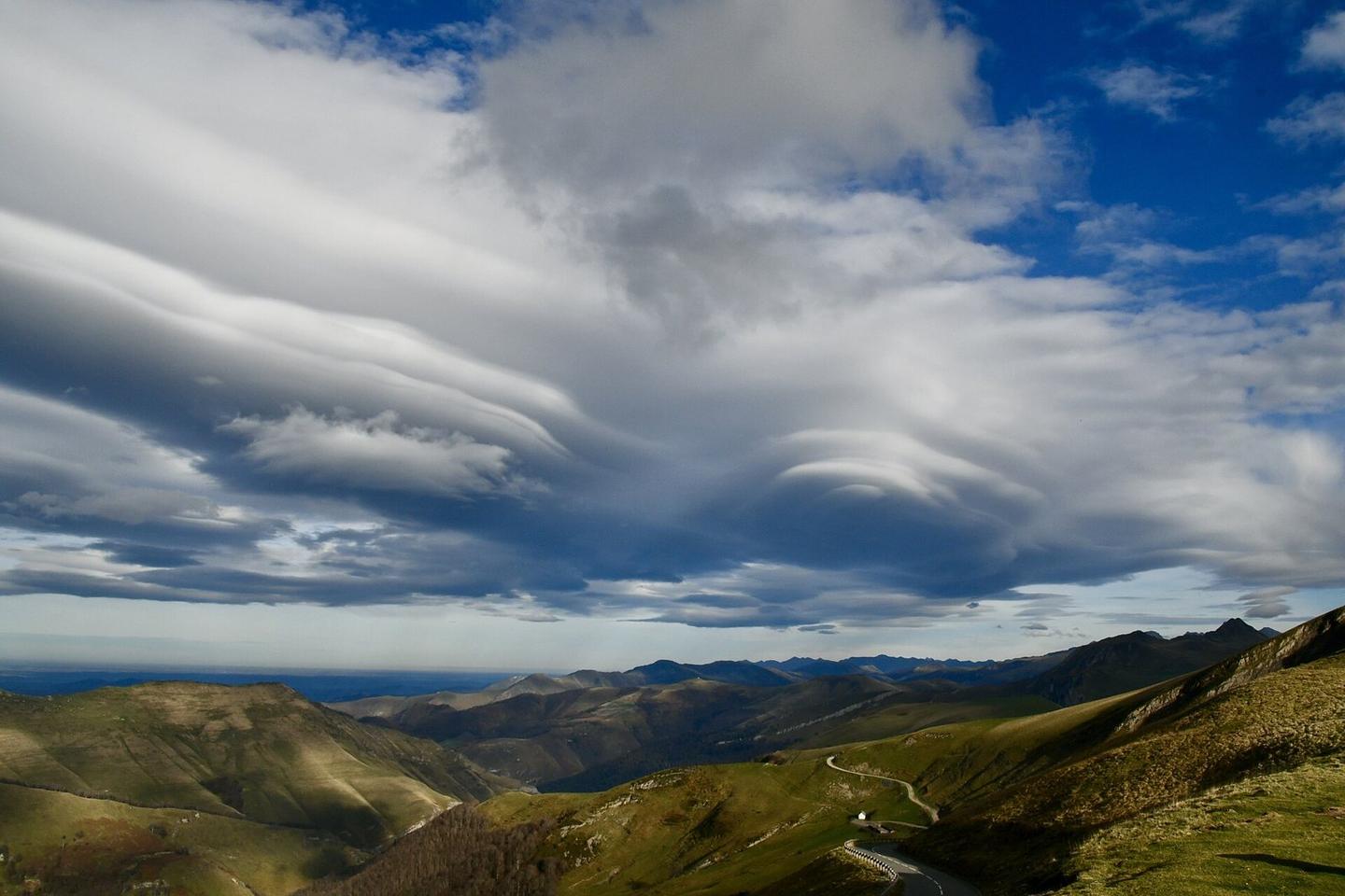
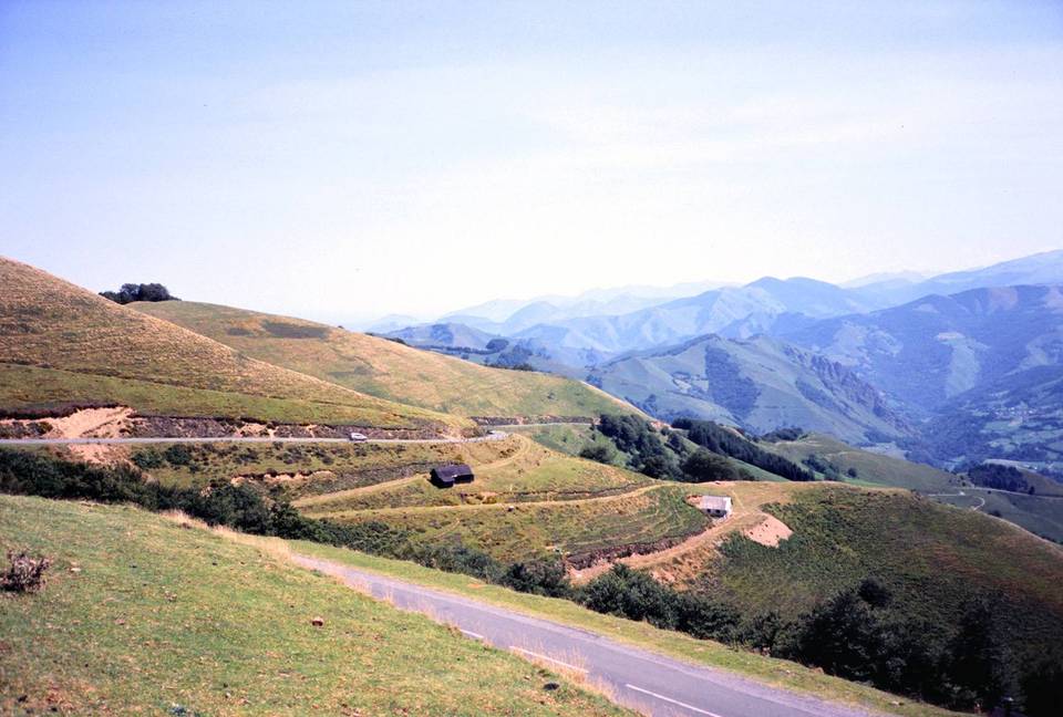
2 photographs from the road

Photo: Ursoahabia · CC0 · Wikimedia Commons · Photo: Joxemai · CC BY-SA 4.0 · Wikimedia Commons

More rides from Larrau