
Cycling in Moûtiers
2 cycling routes from Moûtiers, France, 24 to 34 km, 57 km mapped in all, with up to 1,868 m of climbing in a day. Mountainous riding (56 m of climbing per km on average), mostly road routes. 4 named climbs; the high point is 2,320 m on Val Thorens from Moûtiers. Best months to ride: May to Oct.
At a glance
- Routes
- 2
- Lengths
- 24–34 km
- Biggest day
- 1,868 m
- Terrain
- Mountainous
- Bike
- Road bike
- Difficulty
- Moderate to Hard
- Named climbs
- 4
- Best months
- May to Oct
- GPX
- Every route
Know before you go
Added up from the recorded routes and OpenStreetMap; nothing estimated.
- High point
- 2,320 m on Val Thorens from Moûtiers.
- Climbs
- 4 named climbs · 3 ascents of 500 m or more.
Cycling guide to Moûtiers
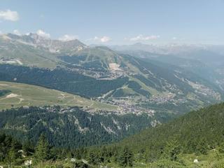
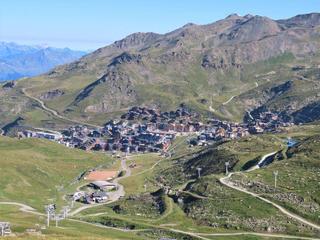
Moûtiers offers cycling routes that head into the French Alps, notably to Courchevel and Val Thorens. The Courchevel route covers 23.6 km with 1351 m of elevation gain while the Val Thorens climb extends to 33.8 km with 1868 m ascent. Both routes feature long, steady climbs largely on paved surfaces and incorporate sections on main roads without cycle lanes. The routes provide access to high alpine terrain, reaching 1752 m and 2320 m respectively. Moûtiers itself has a railway station near both routes, supporting access for riders.
More on terrain
Terrain
The terrain is mountainous, featuring long climbs of around 17.5 km length with average gradients of 6.3–6.7% and maximum gradients reaching 13.1%. The highest point reached is 2320 m on the Val Thorens route. The surfaces are mostly paved, with minimal gravel sections. The routes have stretches without cycle lanes, mainly on main roads.