Mixed · France
Riding in Rhone-Alpes features point-to-point road and mixed routes with moderate climbing and substantial cycle path use.
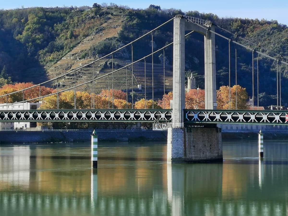
Rhone-Alpes offers three point-to-point cycling routes starting from Villefranche-sur-Saône, Tournon-sur-Rhône, and Chanas. Two routes are mixed terrain and one is purely road. The routes range from 38 km to 141 km, with a median length of 106 km.
Climbing varies between routes, from 39 m up to 145 m, with the longest route from Tournon-sur-Rhône to Orange having the highest elevation gain. The area includes mainly flat terrain with occasional moderate climbs. Cycling surfaces include 83% paved and 15% unpaved, with many routes using cycle paths and minor roads alongside main roads.
The terrain is mostly flat with 96% of route distance flat and only 2% climbing, with a small portion of sections above 5%, 8%, and 10% gradients (each 0.3 km). Typical routes range from 38 km to 141 km, mostly on minor roads, cycle paths, and main roads. Route surfaces are predominantly paved with some unpaved sections. The biggest climb is 145 m elevation gain on the Tournon-sur-Rhône to Orange route.
Cycle paths total 81.4 km across the three routes. Main roads account for 43.4 km without cycle lanes; roads with speed limits of 80 km/h or more are 29.5 km. Other road classes include minor roads (18%), roads with cycle lanes (13%), quiet streets (11%), and tracks (10%).
The best months for riding in Rhone-Alpes are April to October, with September recorded and climate highs ranging from 17°C in April to 29°C in July and August.
Best months: Apr to Oct.