
Cyclists.com

Chanas to Tournon-sur-Rhône

Chanas, Rhone-Alpes, FranceRoad

38 km
Distance
70 m
Elevation gain
Easy
Difficulty
Paved
Surface

Elevation profile

70 m over 38 km

Route overview

Suits riders of any level: 37.9 km with only 70 m of climbing makes it an easy half-day or a linking stage.

A flat 37.9 km point-to-point down the Rhône valley from Chanas to Tournon-sur-Rhône, with just 70 m of climbing.

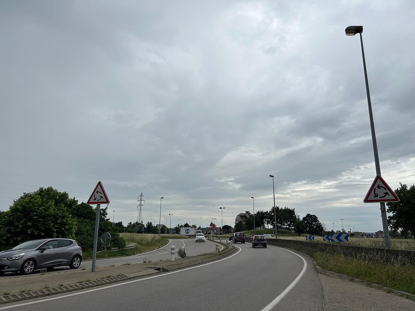
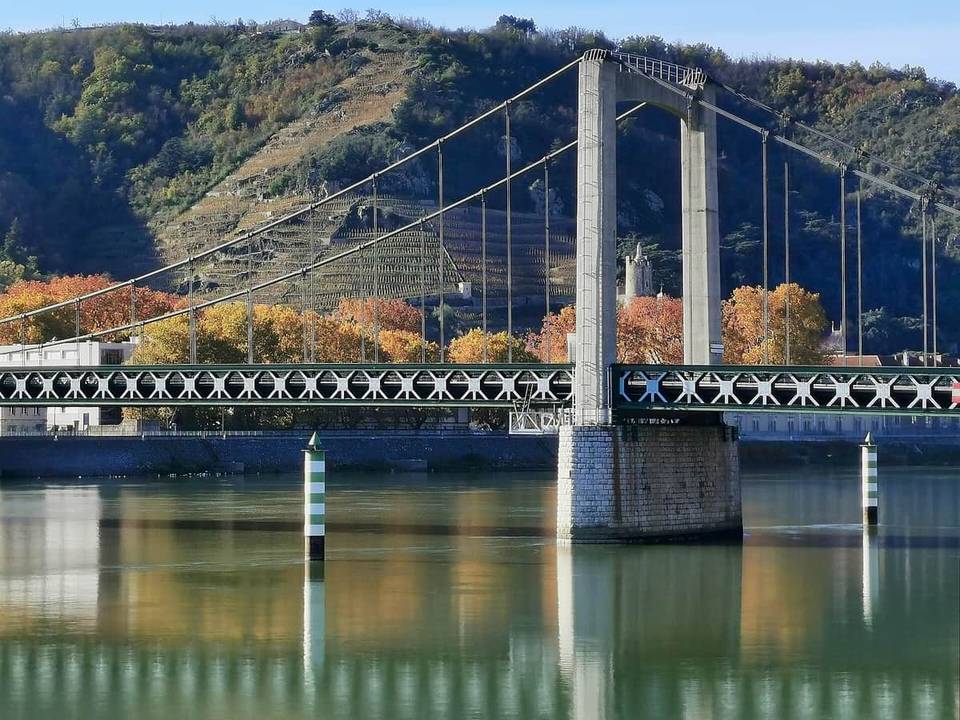
From Chanas the route heads south along the Rhône, passing Saint-Rambert-d'Albon at 6.6 km, where a café and restaurant sit beside the road. The high point comes early and is barely a rise: 187 m at 3.4 km, with 69% of the day's modest 70 m of climbing done in the first half. Water is available at Andancette around 12.7 km and again at Laveyron at 17.9 km. Saint-Vallier at 21.1 km is the largest place before the finish and has the widest choice of restaurants en route. Beyond it the road continues through Ponsas at 24.3 km, with two viewpoints and a drinking water point between 26.4 and 26.7 km, then Serves-sur-Rhône at 27.4 km and Gervans at 31.2 km. The last stretch runs beneath the Colline de l'Ermitage at 33.8 km before reaching Tain-l'Hermitage at 35.6 km, the lowest point of the ride at 117 m. A short 1 km link across the river closes the route in Tournon-sur-Rhône at 36.7 km, where cafés and restaurants cluster near the finish.

Highlights

  • Valley-floor riding from Chanas to Tournon-sur-Rhône
  • Two viewpoints between 26.4 km and 26.7 km
  • Beneath the Colline de l'Ermitage at 33.8 km
  • Saint-Vallier and Tain-l'Hermitage for food stops

Along the route

Measured from the recorded track and OpenStreetMap.

Places passed

  1. Le Bouillard 2.5 km
  2. Château Feuillet 2.7 km
  3. Rosay 3.4 km
  4. Herpieux 3.4 km
  5. Hautes Clavettes 3.7 km
  6. Les Têpes 4.3 km
  7. Basses Clavettes 4.3 km
  8. Saint-Rambert-d'Albon 6.6 km
  9. Chante Caille 7.6 km
  10. Le Sabot 8.7 km
  11. Petit Pré 8.7 km
  12. Les Rivaux 8.8 km
  13. Champagne 9.1 km
  14. Port de Champagne 9.1 km
  15. Bellevue 9.8 km
  16. Creux de la Thine 10.2 km
  17. La Grande Ile Bayard 11.1 km
  18. Grangeneuve 11.5 km
  19. Andancette 12.7 km
  20. Les Rioux 12.9 km
  21. Andance 13 km
  22. Les Blachettes 13.7 km
  23. Bancel 14.5 km
  24. Cueil 14.9 km
  25. La Grange 15.1 km
  26. Les Pales 15.6 km
  27. Les Chauvets 16 km
  28. Saint-Bosc 16.3 km
  29. Cansard 16.9 km
  30. Cance 17 km
  31. Cantieux 17.1 km
  32. La Blache 17.3 km
  33. Laveyron 17.9 km
  34. La Croix Des Mailles 18 km
  35. Merciere 18.4 km
  36. Peyret 18.8 km
  37. Champtenaud 19 km
  38. Marliet 19 km
  39. Revirand 19 km
  40. Sarras 19.2 km
  41. Bonarieux 19.3 km
  42. Chapelet 19.5 km
  43. La Traille 20.9 km
  44. Obeiron 21 km
  45. Port du Roure 21 km
  46. Saint-Vallier 21.1 km
  47. Gaspard 21.1 km
  48. Champis 21.7 km
  49. Olanet 22.6 km
  50. Ozon 22.8 km
  51. Cuminieux 22.8 km
  52. Grand Avanon 22.8 km
  53. Haute-Viale 22.8 km
  54. La Rivière 22.8 km
  55. Les Granges 22.8 km
  56. Petit-Avanon 22.8 km
  57. Ponsas 24.3 km
  58. Les Chataigners 25.4 km
  59. Le Rochon 26.4 km
  60. Les Champs 26.4 km
  61. Arras-sur-Rhône 27.1 km
  62. Les Murets 27.1 km
  63. Serves-sur-Rhône 27.4 km
  64. Garde Poule 28 km
  65. Les Montas 28.5 km
  66. Lachanal 28.8 km
  67. Le Caire 28.8 km
  68. Petit Lavay 28.8 km
  69. Les Grandes Vignes 29 km
  70. Paradis 29.2 km
  71. Érôme 29.4 km
  72. Clautrieres 29.5 km
  73. Vion 29.7 km
  74. La Plaine 30.3 km
  75. Barbari 30.5 km
  76. Cafiot 30.5 km
  77. Les Blancs 30.5 km
  78. La Sainte 30.7 km
  79. Ferra 30.8 km
  80. Les Creux 30.9 km
  81. Les Perrets 31.1 km
  82. Le Perret 31.1 km
  83. Gervans 31.2 km
  84. Les Habrards 31.2 km
  85. Les Noyaras 31.3 km
  86. Les Bruclas 31.8 km
  87. Les Côtes 32.3 km
  88. La Croisette 32.3 km
  89. Les Lavoirs 32.6 km
  90. Les Iles 32.6 km
  91. Crozes-Hermitage 32.9 km
  92. Les Rocoules 32.9 km
  93. Maupertuit 32.9 km
  94. Les Pinets 33 km
  95. Les Plots 33.2 km
  96. Pierre-Aiguille 33.4 km
  97. Fougearet 33.5 km
  98. Les Balmes 33.5 km
  99. Saint-Jean-de-Muzols 34 km
  100. Tain-l'Hermitage 35.6 km

On the road

  • Campanile (Restaurant) 0.1 km
  • Café de la Terrasse (Café) 6.5 km
  • Pizz à Sim (Restaurant) 6.6 km
  • Water 12.7 km
  • Water 12.9 km
  • Water 17.9 km
  • Drinking Water (Water) 17.9 km
  • L'Ambigu (Restaurant) 19.5 km
  • Water 20.2 km
  • bistrot le troquet (Restaurant) 20.3 km
  • Dragon d'Or (Restaurant) 20.6 km
  • Totto (Restaurant) 20.7 km

Practical information

Surface
Paved
Route shape
Point to point
Riding time
2–3 hours riding

Know before you go

  • Longest gap without listed water is between 26.7 km and 35.6 km

Routes are for inspiration. Roads, surfaces and conditions change — check locally and ride within your limits.

1 photograph from the road

Part of