
Cycling in Beausoleil
1 cycling route from Beausoleil, France, 5 km, 5 km mapped in all, with up to 378 m of climbing in a day. Mountainous riding (76 m of climbing per km on average), mostly road routes, 39% of the riding on main roads without a cycle lane. 1 named climb; the high point is 480 m on La Turbie from Beausoleil. Best months to ride: Apr to Oct.
At a glance
- Routes
- 1
- Lengths
- 5 km
- Biggest day
- 378 m
- Terrain
- Mountainous
- Surface
- Mostly paved
- Bike
- Road bike
- Difficulty
- Easy
- Named climbs
- 1
- Best months
- Apr to Oct
- GPX
- Every route
Know before you go
Added up from the recorded routes and OpenStreetMap; nothing estimated.
- Surface
- Paved almost throughout.
- Roads
- 39% of the riding on main roads without a cycle lane.
- High point
- 480 m on La Turbie from Beausoleil.
- Climbs
- 1 named climb.
- Bail-outs
- A railway station or ferry within reach on 1 route.
Cycling guide to Beausoleil
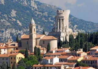
Beausoleil is a starting point for a challenging climb to La Turbie, which lies in Monaco. This route ascends 378m over a distance of 5.4km, offering a steady gradient near 7.1% with sections up to 12%. The ride is almost entirely on paved roads and about 2.1 km of the route are on main roads without cycle lanes. Services may be limited, with the longest stretch without them being 3.1 km. There are two railway stations near the route, providing access options.
Riders from Beausoleil can tackle this point-to-point route that ends at 480m elevation, making it a focused climb rather than a lengthy ride. No other towns or services are passed during the route. It is a direct ascent into Monaco’s nearby terrain, suitable for cyclists looking for a steep challenge rather than a long tour.
More on terrain
Terrain
The terrain features a single sustained climb of 5.3 km, starting at the beginning of the route and finishing at 480m elevation. The climb averages 7.1% gradient with a maximum of 12%, indicating a steep ascent throughout.