
Cycling in Casalborsetti
1 cycling route from Casalborsetti, Emilia-Romagna, Italy, 51 km, 51 km mapped in all, with up to 11 m of climbing in a day. Mostly flat riding (0 m of climbing per km on average), mostly gravel routes, 53% paved, 12 km on cycle paths or lanes.
At a glance
- Routes
- 1
- Lengths
- 51 km
- Biggest day
- 11 m
- Terrain
- Flat
- Surface
- 53% paved
- Bike
- Gravel bike
- Difficulty
- Moderate
- GPX
- Every route
Know before you go
Added up from the recorded routes and OpenStreetMap; nothing estimated.
- Surface
- 53% paved · 44% gravel or unpaved — 22 km of gravel or unpaved road across the routes.
- Roads
- 9% of the riding on main roads without a cycle lane · 12 km on cycle paths or lanes.
- Bail-outs
- A railway station or ferry within reach on 1 route.
Cycling guide to Casalborsetti
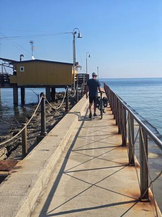
Cyclists starting in Casalborsetti can ride along a 51.1 km point-to-point route from Marina Romea to Goro. The route passes coastal settlements such as Lido di Spina, Lido degli Estensi, and Porto Garibaldi, continuing through Lido degli Scacchi, Lido di Pomposa, Lido delle Nazioni, Villaggio Galattico, Lido di Volano, and Volano before reaching Goro. This route is in Italy's Emilia-Romagna region. The route includes 53% paved surfaces and 44% gravel or unpaved. There is 12.3 km of cycle path and 4.5 km on main roads without cycle lanes. Two railway stations are near the route, facilitating access or exit points. The longest stretch without services is 9.7 km, requiring preparation for water or food. Riders can face limited elevation gain of only 11 m, with heights reaching only up to 8 m above sea level, indicating flat terrain along the coast.
More on best time to ride, terrain
Best time to ride
September is recorded as a month on this route but temperature data is not available.
Terrain
The terrain is very flat with an elevation gain of 11 m over the 51.1 km route, and the highest point only reaches 8 m. Surfaces vary between paved and mostly gravel or unpaved sections, with a significant amount of cycle path but also some stretches on main roads without cycle lanes.