
Cycling in Gabčíkovo
1 cycling route from Gabčíkovo, Slovakia, 125 km, 125 km mapped in all, with up to 345 m of climbing in a day. Mostly flat riding (3 m of climbing per km on average), mostly road routes, 30% of the riding on main roads without a cycle lane. Best months to ride: Apr to Oct.
At a glance
- Routes
- 1
- Lengths
- 125 km
- Biggest day
- 345 m
- Terrain
- Flat
- Surface
- Mostly paved
- Bike
- Road bike with sturdy tyres, or gravel bike
- Difficulty
- Hard
- Best months
- Apr to Oct
- Longest gap
- 24 km
- GPX
- Every route
Know before you go
Added up from the recorded routes and OpenStreetMap; nothing estimated.
- Surface
- Paved almost throughout — 10 km of gravel or unpaved road across the routes.
- Roads
- 30% of the riding on main roads without a cycle lane · 51 km on cycle paths or lanes.
- Bail-outs
- A railway station or ferry within reach on 1 route.
Cycling guide to Gabčíkovo
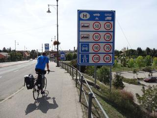
Cyclists starting in Gabčíkovo can ride the 124.7 km route to Herceghalom, passing through numerous towns including Sap, Medveďov, Komárno, Komárom, Tata, Tatabánya, and Bicske. The route crosses between Slovakia and Hungary several times. Along the way, 16 railway stations lie near the course. The surface is mostly paved (90%), with 8% gravel or unpaved sections. About 50.7 km of the route follows cycle paths, while 37.4 km are on main roads without cycle lanes. Services along the route are spaced so that the longest stretch without any is 23.7 km. There is no data on months or temperatures recorded for this route.
More on terrain
Terrain
The route has an elevation gain of 345 m and reaches a maximum height of 263 m. It features gentle gradients suitable for varied terrain but no specific steep climbs noted.