Gabčíkovo to Herceghalom
- 125 km
- 345 m
- Hard
- Paved

Elevation profile
- 345 m
- 125 km
Route overview
Suitable for riders prepared for a long 124.7 km ride with moderate climbing of 345 m.
Day 19 of Rotterdam to Budapest: 124.7 km from Gabčíkovo to Herceghalom with 345 m of climbing, retraced from the map.
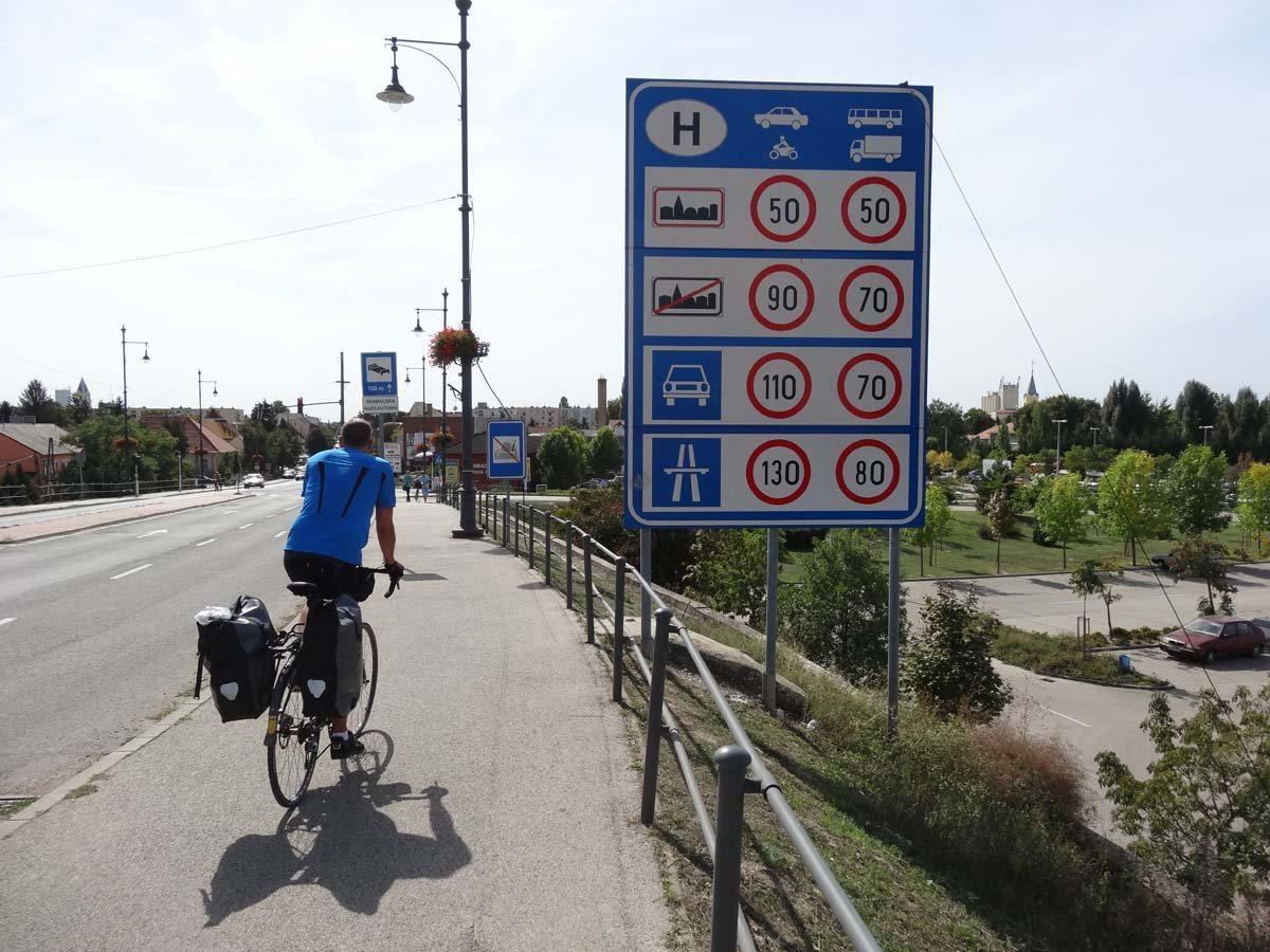
The route starts at Gabčíkovo (0 km) and passes through multiple towns including Sap (10.6 km), Medveďov (15.1 km), Klížska Nemá (29.5 km), and Komárno (55.1 km). From Komárom (58.6 km) it continues via urban and rural areas, including Tata (79.1 km) and Tatabánya (90.1 km), before reaching Herceghalom (122.5 km). The highest point on the route is at 263 m around 102.1 km while the lowest is 107 m at 51.9 km. Elevation gain totals 345 m with mostly flat terrain (89%). The surface is 90% paved with about 8% gravel or unpaved and 2% unmapped. Almost half (48.7 km) is on cycle paths while main roads without cycle lanes cover 37.4 km including 13.3 km on fast roads with speeds over 80 km/h. Quiet streets and tracks also form part of the route. Longest named roads ridden are 8101 for 20.7 km and 8139 for 13.9 km. Facilities along the way include cafés, pubs, bakeries, and supermarkets. The longest stretch without cafés, shops, or water is 23.7 km between 15.6 and 39.3 km. Several bail out points with stations and halts are available at Komárom, Tatabánya, Szárliget, Bicske, and Herceghalom. Several bike shops, repair stands, and petrol stations are also found along the route.
Highlights
- Komárno at 55 km
- Tatabánya at 90 km
- Tatai vár castle near 78 km
- Basa-domb peak near 50 km
Along the route
Places passed· crosses into HU
What this ride is like
- Roads
- 40% cycle path · 31% main road · 16% quiet street · 6% track
- Main roads
- 37.4 km on main roads without a cycle lane — likely busier
- Fast roads
- 13.3 km on roads with a limit of 80 km/h or more
- Cycle paths
- 50.7 km on cycle paths or roads with a cycle lane
- Main roads used
- 8101 (21 km), 8139 (14 km)
- Surface
- Paved throughout
- Gradient
- 6% climbing · 5% descending · 89% flat
- Longest descent
- 2 km from 75.4 km, dropping 26 m
Along the way
Longest stretch without a café, shop or water: 24 km, from 16 km to 39 km.
Food, water and shops
- 0 kmPaša · fast food · 180 m off route
- 0.4 kmPharmacy · 50 m off route
- 10.9 kmCOOP Jednota · supermarket · 50 m off route
- 39.5 kmEkofarma Ostrov Bufet · pub · 100 m off route
- 53.3 kmRepair stand · on the route
- 54.1 kmPotraviny · convenience store · 30 m off route
- 55.9 kmVezuv · café · 70 m off route
- 58.1 kmToilets · 40 m off route
- 78 kmplatán Pék · bakery · on the route
- 78.8 kmTóvárosi Gyógyszertár · pharmacy · on the route
- 82.3 kmOMV · petrol station · 130 m off route
- 88.6 kmLidl · supermarket · 70 m off route
- 90.2 kmSmaragd Gyógyszertár · pharmacy · 80 m off route
- 97.1 kmDrinking water · 70 m off route
- 108.5 kmDrinking water · on the route
- 108.8 kmABC · general store · 90 m off route
- 113.9 kmSpar · supermarket · 70 m off route
- 114.6 kmDrinking water · 50 m off route
Need to bail out?
- 52.9 km — Komárom (station), 420 m off route
- 60.3 km — Szőny-Déli (halt), 680 m off route
- 80.7 km — Tóvároskert (halt), 780 m off route
- 89.8 km — Tatabánya (station), 350 m off route
- 101.5 km — Szárliget (station), 600 m off route
- 112.7 km — Bicske (station), 410 m off route
- 122.3 km — Herceghalom (station), 90 m off route
Worth a stop
- 54.7 km — Kostol Božského Srdca Ježišovho (attraction)
- 78.1 km — Tatai vár (castle)
- 98.1 km — Kő-hegy (peak)
- 107.9 km — Fehér sziklák (viewpoint, 200 m)
At the start
- Tesco Supermarket · supermarket · 280 m
- Paša · fast food · 180 m
- Pizzeria Kovacs · restaurant · 210 m
At the finish
- Herceghalom · station · 290 m
Stay after this ride
- Abacus Hotel**** · hotel · 730 m from the finish
Practical information
- Paved
- Point to point
- 8 h 54 min
Know before you go
- 23.7 km without café, shop or water between 15.6 km and 39.3 km
- 37.4 km on main roads without cycle lane
- 13.3 km on roads posted 80 km/h or over
- 8% gravel or unpaved surface