
Rotterdam to Budapest by Bike
Cycle from Rotterdam to Budapest over 20 stages covering 1,720 km and 5,247 m of climbing through the Netherlands, Germany, France, Austria, Slovakia and Hungary. Ridden by Marcus from 30 August to 19 September 2015 (Linz to Vienna by train, not ridden). The GPS recording was lost, so each stage line is the road between that day’s towns, retraced from the map. Every stage has a map, elevation profile, road facts and a GPX file.

Route at a glance
- Distance
- 1,720 km
- Climbing
- 5,247 m
- Stages
- 20
- Countries
- 6
- Average stage
- 86 km
- Longest stage
- 144.3 km
- Most climbing
- 1,147 m
- Riding time
- ~123 h
- Surface
- Mostly paved
- Bike
- Road bike
- Best months
- Apr to Oct
- GPX
- Every stage + whole tour
- Start
- Rotterdam
- Finish
- Budapest
Full route map
Itinerary: 20 stages
Average 86 km and 262 m a stage. Longest day: stage 15 (144.3 km). Most climbing: stage 11 (1,147 m). Shortest: stage 10 (28.2 km).
| Stage | Route | Country | Distance | Climbing | Surface | Difficulty | Time | GPX |
|---|---|---|---|---|---|---|---|---|
| 1 | Rotterdam to Wijk bij Duurstede | Netherlands | 77.7 km | 0 m | Paved | Moderate | 5 h 33 min | GPX |
| 2 | Wijk bij Duurstede to Emmerich am Rhein | Netherlands → Germany | 79.2 km | 163 m | Mostly paved | Moderate | 5 h 39 min | GPX |
| 3 | Emmerich am Rhein to Düsseldorf | Germany | 95.5 km | 74 m | Mostly paved | Moderate | 6 h 49 min | GPX |
| 4 | Düsseldorf to Königswinter | Germany | 82.1 km | 92 m | Mostly paved | Moderate | 5 h 52 min | GPX |
| 5 | Königswinter to Sankt Goar | Germany | 91.4 km | 216 m | Mostly paved | Moderate | 6 h 32 min | GPX |
| 6 | Sankt Goar to Worms | Germany | 91.7 km | 318 m | Mixed surface | Moderate | 6 h 33 min | GPX |
| 7 | Worms to Karlsruhe | Germany | 94.4 km | 75 m | Mostly paved | Moderate | 6 h 45 min | GPX |
| 8 | Karlsruhe to Strasbourg | Germany → France | 85 km | 53 m | Mostly paved | Moderate | 6 h 04 min | GPX |
| 9 | Strasbourg to Freiburg im Breisgau | France → Germany | 83.1 km | 152 m | Mostly paved | Moderate | 5 h 56 min | GPX |
| 10 | Freiburg im Breisgau to Hinterzarten | Germany | 28.2 km | 624 m | Paved | Moderate | 2 h 01 min | GPX |
| Rest day | ||||||||
| 11 | Hinterzarten to Sigmaringen | Germany | 116.3 km | 1,147 m | Mostly paved | Hard | 8 h 18 min | GPX |
| 12 | Sigmaringen to Ulm | Germany | 79.2 km | 385 m | Mostly paved | Moderate | 5 h 39 min | GPX |
| 13 | Ulm to Neuburg an der Donau | Germany | 117.2 km | 172 m | Mostly paved | Hard | 8 h 22 min | GPX |
| 14 | Neuburg an der Donau to Kelheim | Germany | 67 km | 324 m | Mostly paved | Moderate | 4 h 47 min | GPX |
| 15 | Kelheim to Vilshofen an der Donau | Germany | 144.3 km | 380 m | Mostly paved | Hard | 10 h 18 min | GPX |
| 16 | Vilshofen an der Donau to Linz | Germany → Austria | 108.8 km | 359 m | Mostly paved | Hard | 7 h 46 min | GPX |
| Transfer · Linz to Vienna by train — not ridden, not counted in the distance | ||||||||
| 17 | Wien to Bratislava | Austria → Slovakia | 69.9 km | 61 m | Mostly paved | Moderate | 5 h | GPX |
| 18 | Bratislava to Gabčíkovo | Slovakia | 55.7 km | 0 m | Paved | Easy | 3 h 59 min | GPX |
| 19 | Gabčíkovo to Herceghalom | Slovakia → Hungary | 124.7 km | 345 m | Mostly paved | Hard | 8 h 54 min | GPX |
| 20 | Herceghalom to Budapest | Hungary | 28.8 km | 307 m | Paved | Easy | 2 h 03 min | GPX |
The route, country by country
Rotterdam → Netherlands → Germany → France → Austria → Slovakia → Hungary → Budapest
Netherlands
Stages 1–2, 157 km: Rotterdam → Wijk bij Duurstede → Emmerich am Rhein. Flat (163 m of climbing), 53% on cycle paths or lanes.
Germany
Stages 3–8, 540 km: Emmerich am Rhein → Düsseldorf → Königswinter → Sankt Goar → Worms → Karlsruhe → Strasbourg. Flat (828 m of climbing), 19% on cycle paths or lanes.
France
Stage 9, 83 km: Strasbourg → Freiburg im Breisgau. Flat (152 m of climbing), 29% on cycle paths or lanes.
Germany
Stages 10–16, 661 km: Freiburg im Breisgau → Hinterzarten → Sigmaringen → Ulm → Neuburg an der Donau → Kelheim → Vilshofen an der Donau → Linz. Rolling (3,391 m of climbing), 7% on cycle paths or lanes.
Austria
Stage 17, 70 km: Wien → Bratislava. Flat (61 m of climbing), 31% on cycle paths or lanes.
Slovakia
Stages 18–19, 180 km: Bratislava → Gabčíkovo → Herceghalom. Flat (345 m of climbing), 48% on cycle paths or lanes.
Hungary
Stage 20, 29 km: Herceghalom → Budapest. Hilly (307 m of climbing), 18% on cycle paths or lanes.
How difficult is this tour?
1,720 km and 5,247 m of climbing over 20 stages: 86 km and 262 m a stage on average.
The longest day is stage 15, Kelheim to Vilshofen an der Donau (144.3 km); the most climbing is on stage 11, Hinterzarten to Sigmaringen (1,147 m); the shortest is stage 10, Freiburg im Breisgau to Hinterzarten (28.2 km).
At 86 km a day on average, it suits riders used to back-to-back days of 70–110 km.
Riders can go faster or slower than the documented itinerary: the same 1,720 km is 29 riding days at 60 km a day, 22 riding days at 80 km a day and 18 riding days at 100 km a day.
Surface and traffic
Predominantly paved: 93% is mapped as paved, 5% as unpaved or gravel and 2% has no surface data.
372 km (22%) is on cycle paths or roads with a cycle lane; 233 km (14%) is on main roads without one, and 164 km on roads with a limit of 80 km/h or more.
The longest stretch without a café, shop or water is 24 km, on stage 19.
Best time to ride
This tour was ridden in August and September 2015. From ten years of weather at the stage towns, Apr to Oct are good for riding along the whole route.
Logistics
- Stadhuis (station) is near the start in Rotterdam.
- Linz to Vienna by train after stage 16 - not ridden, and not counted in the distance.
- 20 riding days over 21 calendar days: 1 day without a stage.
- 20 of 20 stage finishes have a hotel, guesthouse or campsite mapped within a short ride of the finish.
- The longest stretch without a café, shop or water on any stage is 24 km, on stage 19.
What it was actually like to ride
About this tour
This multi-day tour runs from Rotterdam to Budapest over 20 stages, spanning 1720 km and 5247 metres of total climb. It passes through six countries: Netherlands, Germany, France, Austria, Slovakia, and Hungary.
The first seven stages in the Netherlands and western Germany are mostly flat with little elevation gain, the highest point reaching 93 m. The route moves into southwestern Germany and eastern France with gentle climbs, such as the two climbs on stage 10 near Hinterzarten reaching elevations up to 887 m.
From Hinterzarten to Sigmaringen (stage 11), expect the most elevation gain in the tour at 1147 m, featuring several climbs with gradients up to 8.7%. The following stages through southern Germany gradually decrease in climbing but include some notable uphill sections near Ulm and Kelheim.
Crossing into Austria, the route continues with moderate climbs and passes through Vienna and Bratislava before entering Slovakia and Hungary. The final stage into Budapest includes two climbs with averages of 2.9% and 4.5% gradients, reaching 359 m at the highest point. Water or food stops are frequent, with between 19 and 40 stops per stage, supporting long stretches of riding.
The route was recorded without temperature data or specified months, so prepare regardless of season. The terrain transitions from flat river plains in the northwest to rolling hills and moderate climbs through southern Germany and the Alps foothills, finishing with gentle climbs approaching Budapest.
Photos from the road
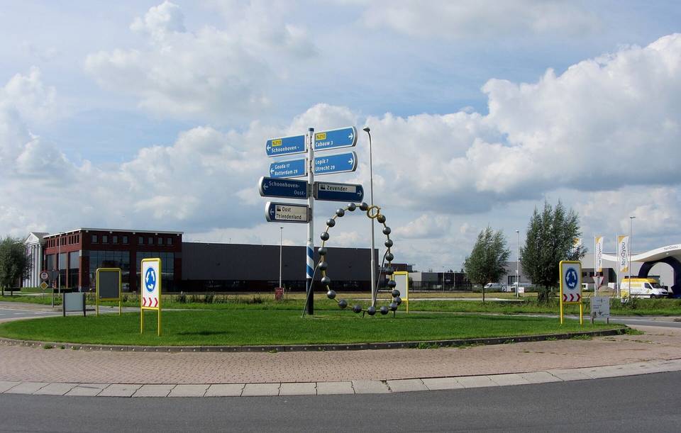
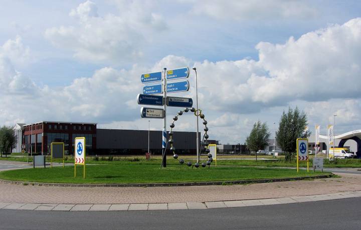
Stage 1 · Rotterdam to Wijk bij Duurstede 
Stage 2 · Wijk bij Duurstede to Emmerich am Rhein 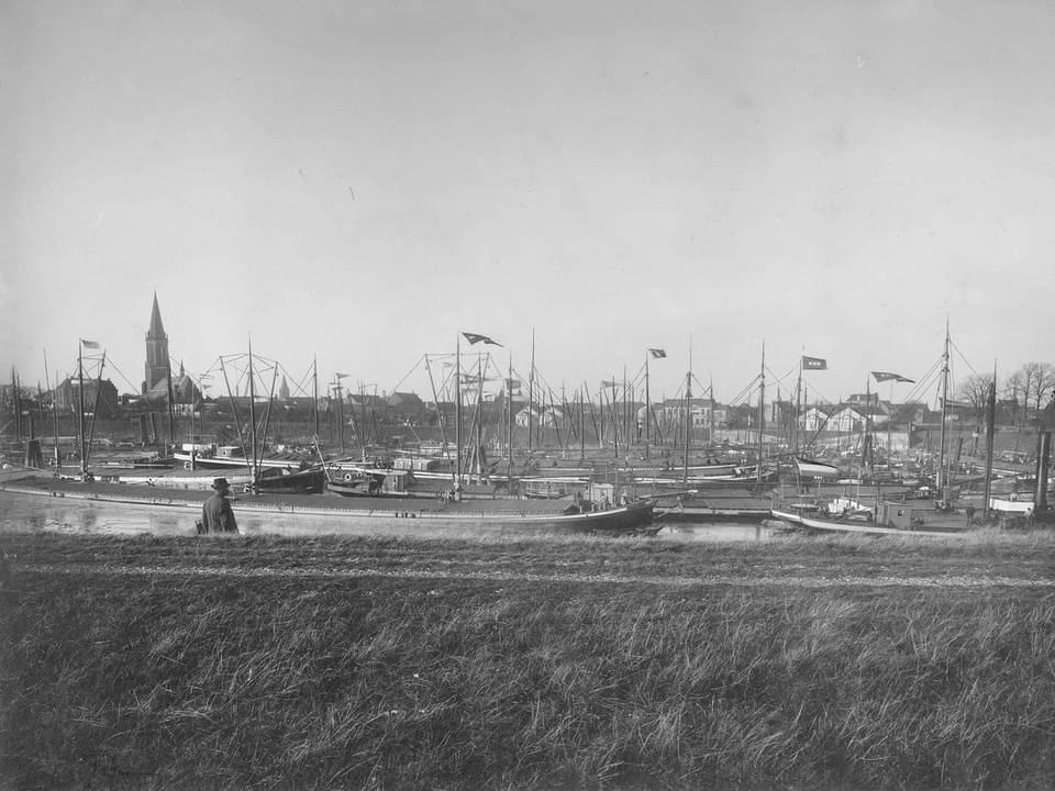
Stage 3 · Emmerich am Rhein to Düsseldorf 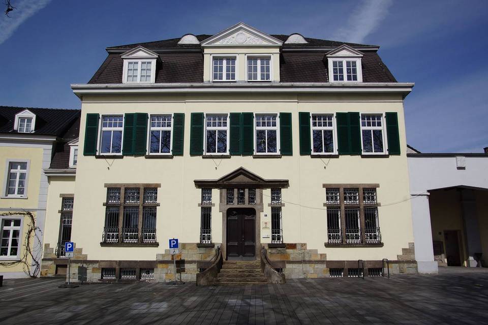
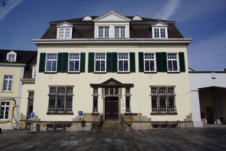
Stage 4 · Düsseldorf to Königswinter 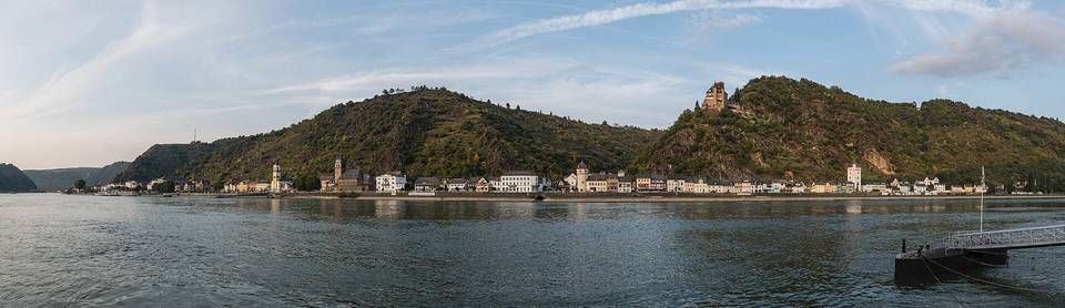
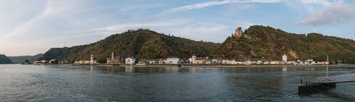
Stage 5 · Königswinter to Sankt Goar 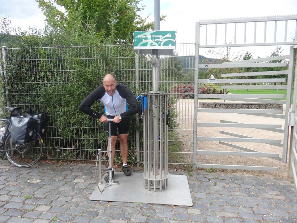
Stage 6 · Sankt Goar to Worms 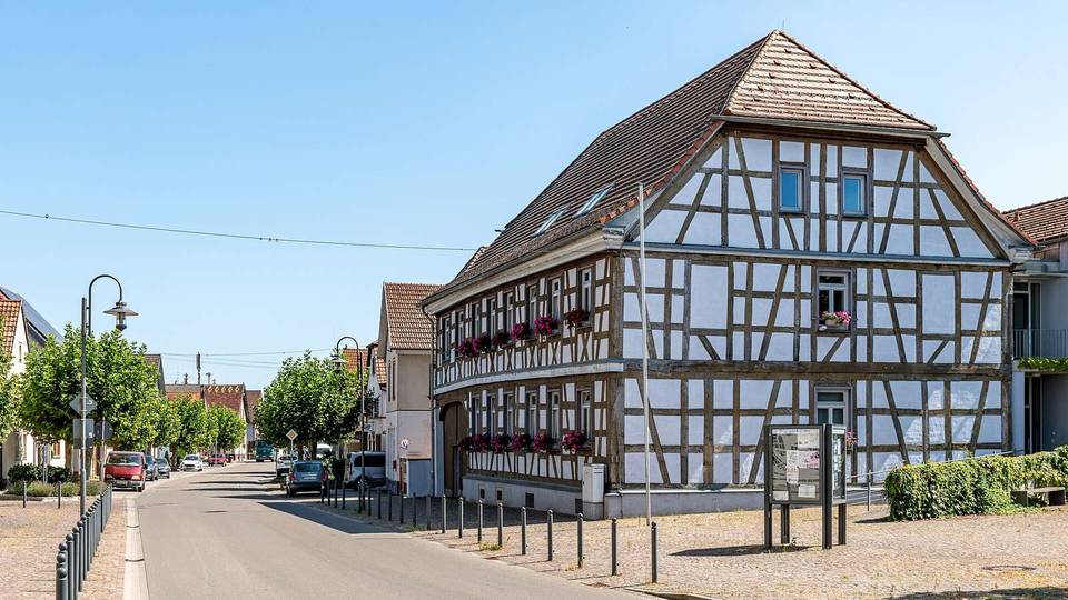
Stage 7 · Worms to Karlsruhe 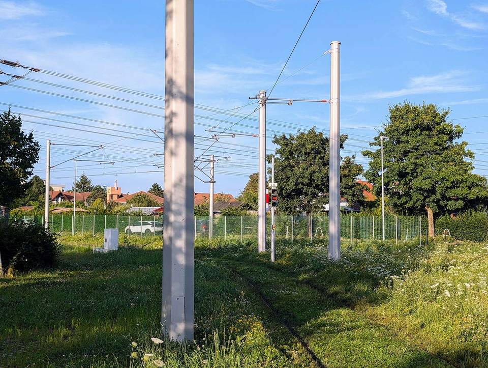
Stage 8 · Karlsruhe to Strasbourg 
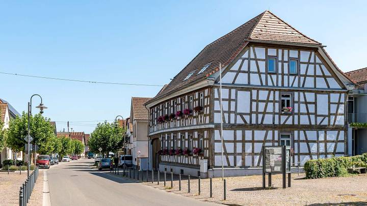
Stage 9 · Strasbourg to Freiburg im Breisgau 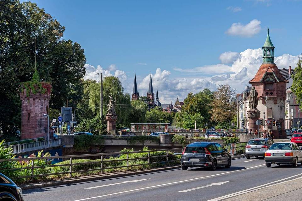
Stage 10 · Freiburg im Breisgau to Hinterzarten 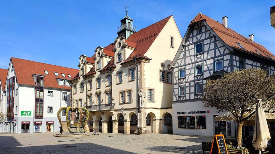
Stage 11 · Hinterzarten to Sigmaringen 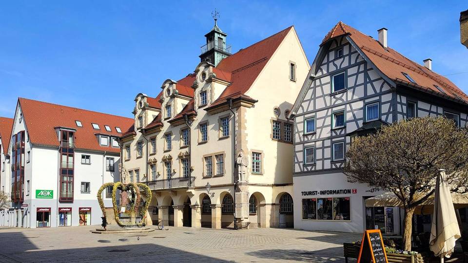
Stage 12 · Sigmaringen to Ulm 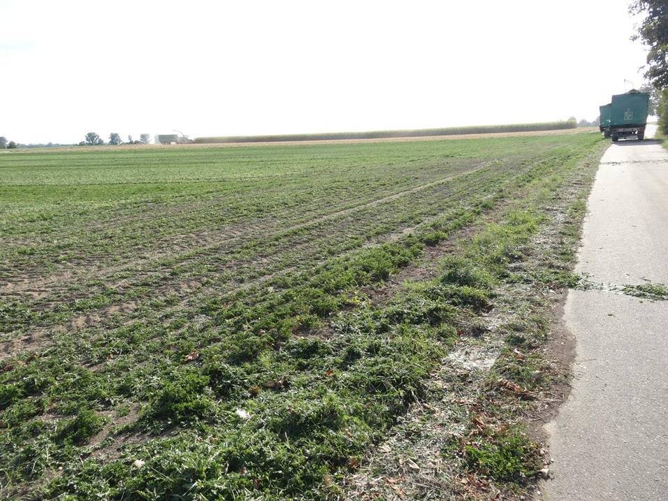
Stage 13 · Ulm to Neuburg an der Donau 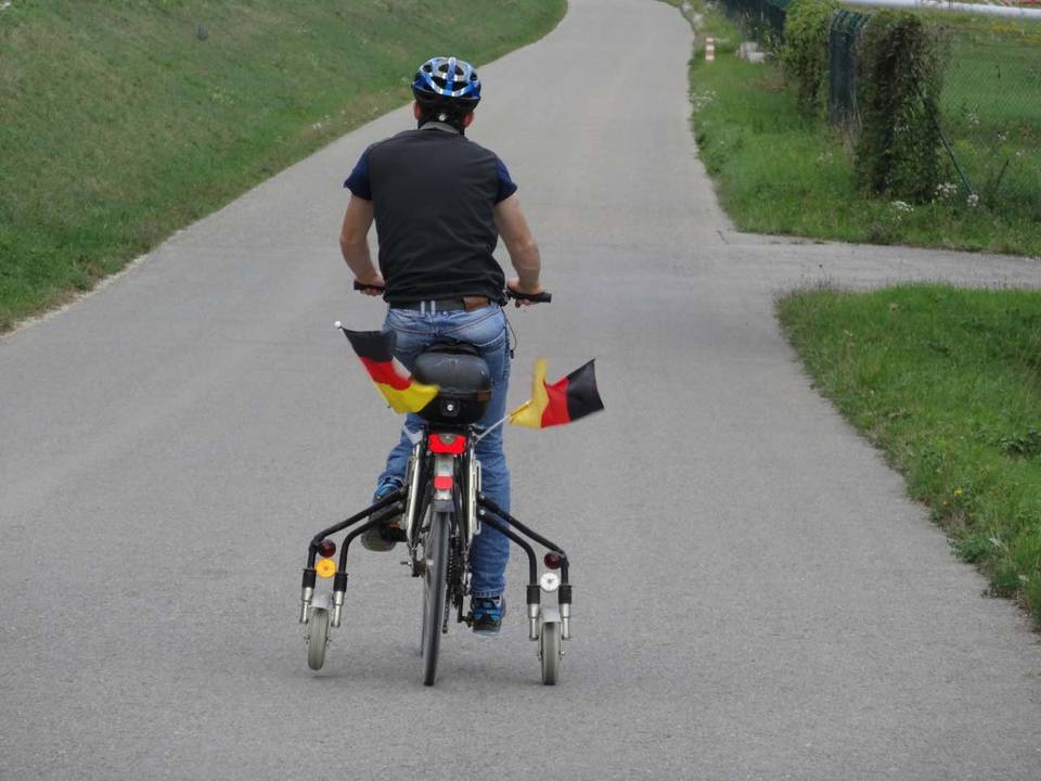
Stage 14 · Neuburg an der Donau to Kelheim 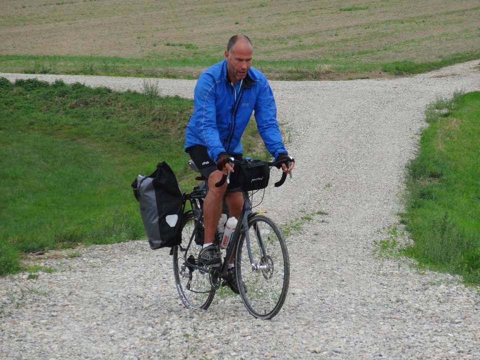
Stage 15 · Kelheim to Vilshofen an der Donau 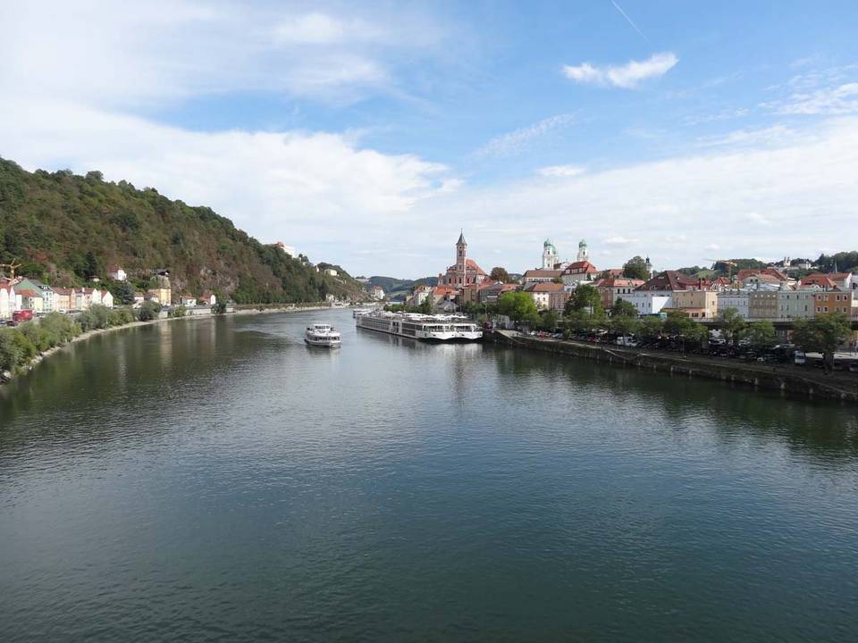
Stage 16 · Vilshofen an der Donau to Linz 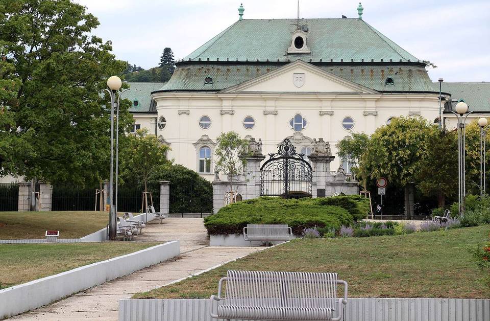
Stage 17 · Wien to Bratislava 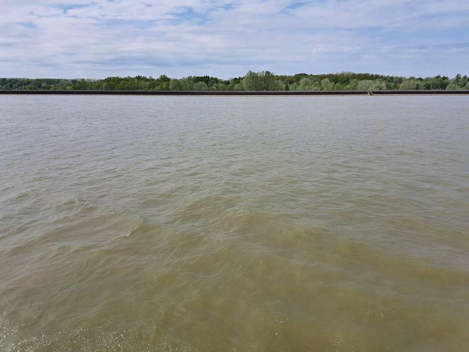
Stage 18 · Bratislava to Gabčíkovo 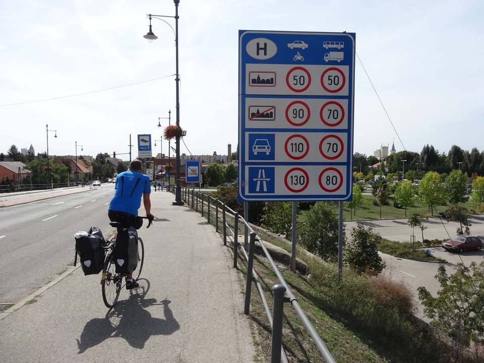
Stage 19 · Gabčíkovo to Herceghalom 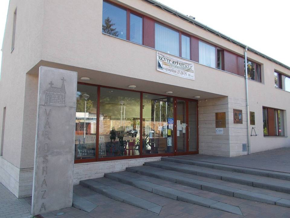
Stage 20 · Herceghalom to Budapest
Questions riders ask
Can you cycle from Rotterdam to Budapest?
Yes. Marcus rode it in 20 stages from 30 August to 19 September 2015, 1,720 km in all (Linz to Vienna by train was not ridden).
How far is Rotterdam to Budapest by bike?
1,720 km along this route, in 20 stages averaging 86 km.
How long does it take to cycle from Rotterdam to Budapest?
The documented trip took 20 riding days over 21 calendar days. Moving time is estimated at about 123 hours. At 60 km a day it is 29 days, 80 km a day it is 22 days and 100 km a day it is 18 days.
How much climbing is involved?
5,247 m in total. The most climbing in a day is 1,147 m on stage 11, Hinterzarten to Sigmaringen.
How difficult is the route?
At 86 km a day on average, it suits riders used to back-to-back days of 70–110 km. The longest day is 144.3 km.
Is it suitable for a road bike?
93% of the route is mapped as paved and 5% as gravel or unpaved (2% has no surface data). Based on that: road bike.
Is there a GPX file?
Yes. Every stage has its own GPX download, and the whole tour is available as one GPX file with a track per stage.
What is the best time of year?
This tour was ridden in August and September 2015. From ten years of weather at the stage towns, Apr to Oct are good for riding along the whole route.