
Cyclists.com

Wien to Bratislava

Wien, AustriaRoad

Retraced from the map Ridden by Marcus on 16th September 2015; the recording was lost, so the line is the road between the day's towns, drawn from OpenStreetMap (the rider logged 80 km that day).

70 km
Distance
61 m
Elevation gain
Moderate
Difficulty
Paved
Surface
On the road: Wien to Bratislava

Elevation profile

Total ascent
61 m
Distance
70 km
Elevation (m)0501001502000 km20 km40 km60 km70 kmHighest point191 m at 0.0 kmStart0 kmFinish70 km

Route overview

Suitable for riders looking for a mostly flat, moderate distance road ride with some urban and rural sections.

Day 17 of Rotterdam to Budapest: 69.9 km from Wien to Bratislava with 61 m of climbing, retraced from the map.

Starting in Vienna's Innere Stadt, the route heads northeast through Leopoldstadt, Kaisermühlen, Stadlau, and Aspern up to Groß-Enzersdorf by 16.5 km. The path continues through several smaller settlements including Oberhausen, Wittau, and Franzensdorf before reaching Haringsee at 35.6 km. The route is mostly paved (93%), with a small section of gravel or unpaved surfaces (3%) and some unmapped parts (4%). It runs on a mix of cycle paths (19.1 km), minor roads (12.9 km), and quiet streets (11.6 km), also including main roads (9.5 km) and paths or tracks. From Loimersdorf at 41.5 km to Bad Deutsch-Altenburg at 50.1 km, there is the longest stretch without café, shop, or water lasting 9.2 km. The route crosses into Slovakia near Wolfsthal about 58.6 km and continues past Bratislava's Old Town, finishing at 68.9 km in Bratislava city center. The elevation is mostly flat with a small 2% climbing and descending, highest point at 191 m at the start in Vienna and lowest at 137 m near the end. Main roads without cycle lanes total 9.8 km, with 12.5 km over 80 km/h speed limits.

Highlights

  • Start in Vienna's Innere Stadt
  • Pass through Groß-Enzersdorf at 16.5 km
  • Longest café-free stretch 41.5 to 50.7 km
  • Finish in Bratislava Old Town at 68.9 km

Along the route

Measured from the recorded track and OpenStreetMap.

Places passed· crosses into SK

  1. Kaisermühlen 4.5 km
  2. Stadlau 8.2 km
  3. Aspern 10.7 km
  4. Eßling 13.7 km
  5. Groß-Enzersdorf 16.5 km
  6. Neu-Oberhausen 18 km
  7. Oberhausen 19.8 km
  8. Wittau 20.9 km
  9. Franzensdorf 24.6 km
  10. Breitstetten 29.5 km
  11. Fuchsenbigl 32.6 km
  12. Haringsee 35.6 km
  13. Kopfstetten 39 km
  14. Loimersdorf 41.5 km
  15. Stopfenreuth 46 km
  16. Bad Deutsch-Altenburg 50.1 km
  17. Hainburg an der Donau 52.9 km
  18. Wolfsthal 58.6 km
  19. Old Town 67.3 km

What this ride is like

Measured from OpenStreetMap along the track and the elevation profile.

Roads
28% cycle path · 19% minor road · 17% quiet street · 14% main road
Main roads
9.8 km on main roads without a cycle lane — likely busier
Fast roads
12.5 km on roads with a limit of 80 km/h or more
Cycle paths
21.6 km on cycle paths or roads with a cycle lane
Main roads used
L3008 (12 km), L4 (3 km)
Surface
Paved throughout
Gradient
2% climbing · 2% descending · 96% flat

Along the way

Within a few hundred metres of the track, from OpenStreetMap. Opening hours change — treat this as where to look, not a promise.

Food, water and shops

  1. 0 kmDrinking water · on the route
  2. 0.2 kmSpar Gourmet · supermarket · on the route
  3. 1.3 km123tanken.at · petrol station · 230 m off route
  4. 4.6 kmToilets · 50 m off route
  5. 7.8 kmApotheke U2 Stadlau · pharmacy · on the route
  6. 9.2 kmToilets · 50 m off route
  7. 13.7 kmDrinking water · on the route
  8. 15.8 kmMüllerGartner · bakery · 50 m off route
  9. 16.5 kmToilets · 230 m off route
  10. 18 kmDrinking water · 70 m off route
  11. 35.4 kmBakery · 250 m off route
  12. 50.9 kmDiskont Tankstelle · petrol station · 100 m off route
  13. 53.2 kmPenny · supermarket · 50 m off route
  14. 53.4 kmToilets · 40 m off route
  15. 58.4 kmLeihradl · bike rental · 130 m off route
  16. 63 kmKaviareň AutoBerg · pub · on the route
  17. 68.3 kmTABAK PRESS · kiosk · on the route
  18. 68.5 kmDrinking water · 90 m off route

Need to bail out?

  • 1.9 kmWien Praterstern (station), 60 m off route
  • 7.9 kmStadlau (station), on the route
  • 53.4 kmHainburg an der Donau Ungartor (halt), 40 m off route
  • 68.7 kmBratislava main station (station), 820 m off route

Whether bikes are carried depends on the service — check before relying on it.

Worth a stop

  • 1 kmPalais Wenkheim (castle)
  • 5.6 kmGrillplatz 4 (picnic site)
  • 13.7 kmSchloss Eßling (castle)
  • 52.5 kmWienertor (attraction)
  • 57.5 kmGalgenberg (peak)
  • 66.8 kmUFO (viewpoint)

At the start

  • Mocarello · café · 50 m
  • Ströck · bakery · 30 m
  • XCelsior Caffè-Bar · café · 90 m
  • Billa · supermarket · 90 m
  • Zanoni & Zanoni · ice cream · 50 m

At the finish

  • U Adriany · café · 40 m
  • Triple Five Coffee Roasters · café · 60 m
  • minit · bakery · 360 m
  • Divný Janko · restaurant · 80 m
  • Fabrika · restaurant · 150 m

Stay after this ride

  • Hotel LOFT Bratislava · hotel · 150 m from the finish
  • Downtown Apartment Sophie · apartment · 300 m from the finish
  • Cozy Apartment · apartment · 310 m from the finish
  • Metropolitan Star Apart Hotel · apartment · 200 m from the finish
  • Hotel Tatra · hotel · 200 m from the finish

Practical information

Surface
Paved
Route shape
Point to point
Riding time
4 h 60 min

Know before you go

  • Longest stretch without café, shop or water is 9.2 km from 41.5 to 50.7 km
  • 9.8 km on main roads without a cycle lane
  • 12.5 km on fast roads (80 km/h or more)
  • Small section of gravel or unpaved road (3%)

Routes are for inspiration. Roads, surfaces and conditions change — check locally and ride within your limits.

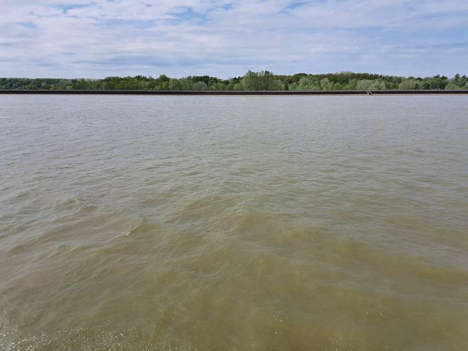
1 photograph from the road

Stage of