Distance covered: 39.6km .
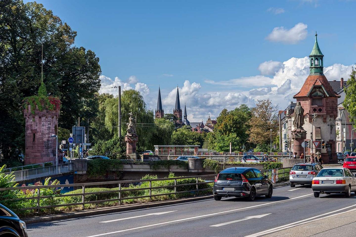
Yes. Not a misprint. A fairly miserable sub 40km day due to a mishap and a monster climb. We left Freiburg at around 11.30 with a quick stop to gather supplies. Donnie needed some serious gee-ing up as he may have had a premonition of what was to come. We had set a course for Donaueschingen, some 65km away, thinking that would make for a reasonably easy day. On the edge of Freiburg, a friendly cycle courier stopped and asked us if we needed any help. Maybe due to us being stopped yet again to compare Google Maps with Garmin. We had noticed heavy lorries beside us and mr friendly cyclist suggested we avoid the main roads and head into the forest [that being the famous Black Forest] and aim for a place called St. Peter. We thanked him and said it would be no issue, pointing to my phone and Google Maps.
Soon we were in the countryside with rolling hills on all sides. The gradient was gentle and we were thinking it may not be that hard after all. We continued to follow the now familiar green cycle signs thinking we had to be on the right route. Some distance up the climb we came to a house by the side of the busy road with a couple of chairs outside. Another stop to refuel Red Bull style before carrying on up the hill. This is where things started to head south [not quite literally]. The busy road continued to be busy. Very very busy. Even by Dubai standards, this was a scary road. Until that point we had a path by the side of the road but the path evaporated and we had to make a decision. I suggested the path would start again and we should just hop up the road and pretend the convoy of juggernauts was not really there. 5 minutes up the hill and we both decided this route was life-threatening. Something had clearly gone wrong.
We consulted Maps again. It was useless and I started to hate it. A pathway off to the left of the highway was spotted and we made a break across the road during a rare break in the madness. It was at this point Donny suggested we should head back down the hill and find another route. I pulled out my famous motto – “Always go forward. Never go back”. I spotted a smalll sign just at the tree line and it listed a few place names and suggested it was a walking trail. I found one of the place names on the map and it looked somewhat correct in terms of direction. My compatriot was not so keen but I promised it looked no more than a km away. The trail was steep so we had to push the bikes. Donny suggested that getting lost in the Black Forest might not be a good idea and it would be easy to lose the trail. Maybe I said bollox…let’s keep going. The path became increasingly less path-like, steeper, and covered in nettles and fallen trees. Did Donny again suggest we turn back?
He probably did… 5 or 6 times. Let’s go.. I said. Another sign appeared on a tree. By this point we were 20 minutes up the hill and I really did not fancy going back. Some debate followed about where the sign was pointing. We proceeded on foot up the mountain. Try pushing a bike with 20kg of pannier on the back. Not easy. I the checked the compass [Google Maps] and was shocked to find that we were going in the wrong direction! Ok. Donny wins. We turn back. Another 20 minutes passed and we were back at the main road feeling deflated. After a short cry we risked our lives once again and headed back down the mountain on the hill of doom.
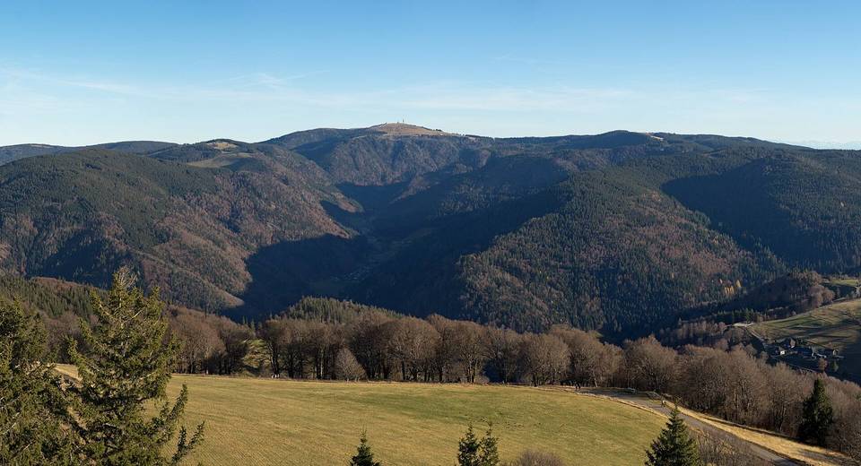
Not too far back down we noticed a sign we had clearly missed on the way up. It was for the cutely named Titisee and it said it was off the main road to the left. It also showed a distance of 21km and a gradient of 7%. This turned into the climb from hell. It went on and on, and it wasn’t a nice tarmac surface either. The view was amazing, but a real grind to make it to the top. It took some considerable time, partly due to loss of traction on the slippy, rocky surface. With 950km already in the legs, it was a real battle. We reached the top, savoured the alpine air, and took off down the other side. 7-8km later we arrived in Hinterzarten. I looked up the hill to see a proper big hill ski jump, with summer training in progress. The sun was shining so we stopped for a beer. It was just very pleasant to be in the hills with the sun shining, after the exertions of hill climbing. There was every intention of pushing on for some more distance, but head and legs suggested otherwise. Hintrzarten is very pretty so this is where we laid our heads. Until the next time…
Photo goodness from Day 10