Hinterzarten to Sigmaringen
- 116 km
- 1,147 m
- Hard
- Paved

Elevation profile
- 1,147 m
- 116 km
Route overview
Suitable for experienced cyclists prepared for a 116 km ride with 1147 m climbing.
Day 11 of Rotterdam to Budapest: 116.3 km from Hinterzarten to Sigmaringen with 1147 m of climbing, retraced from the map.
The route starts in Hinterzarten passing through Titisee, Neubierhäusle and Neustadt im Schwarzwald. The first significant climb begins around 10 km, lasting 4.4 km with an average gradient of 4.5% reaching the top at 1034 m. The profile varies with climbs and descents; total climbing is 1147 m over 116 km. The highest point is near km 15.4 at 1040 m, and the lowest near km 111.5 at 572 m. Road surfaces are mostly paved (94%), with 6% gravel or unpaved sections. The route includes 13.5 km on main roads, 61.8 km on minor roads, 12.7 km on quiet streets, 10.2 km on tracks, and 9.6 km on paths. Cycle lanes or paths cover 4 km in total. There are 13.7 km on main roads without a cycle lane, and 30.4 km on roads with speed limits of 80 km/h or more. Along the way, there are bakeries, cafés, supermarkets, bike shops and several bailout points with stations or halts, for example at Hinterzarten, Neustadt, Bräunlingen, Tuttlingen, Beuron, and Sigmaringen. The longest stretch without shop, café or water is 10.4 km from 52.3 to 62.7 km.
Highlights
- Climb near Neustadt im Schwarzwald 4.4 km at 4.5%
- Pass beneath Kesslerhöhe 1015 m early on
- Final climb near Beuron 4.1 km at 6.2%
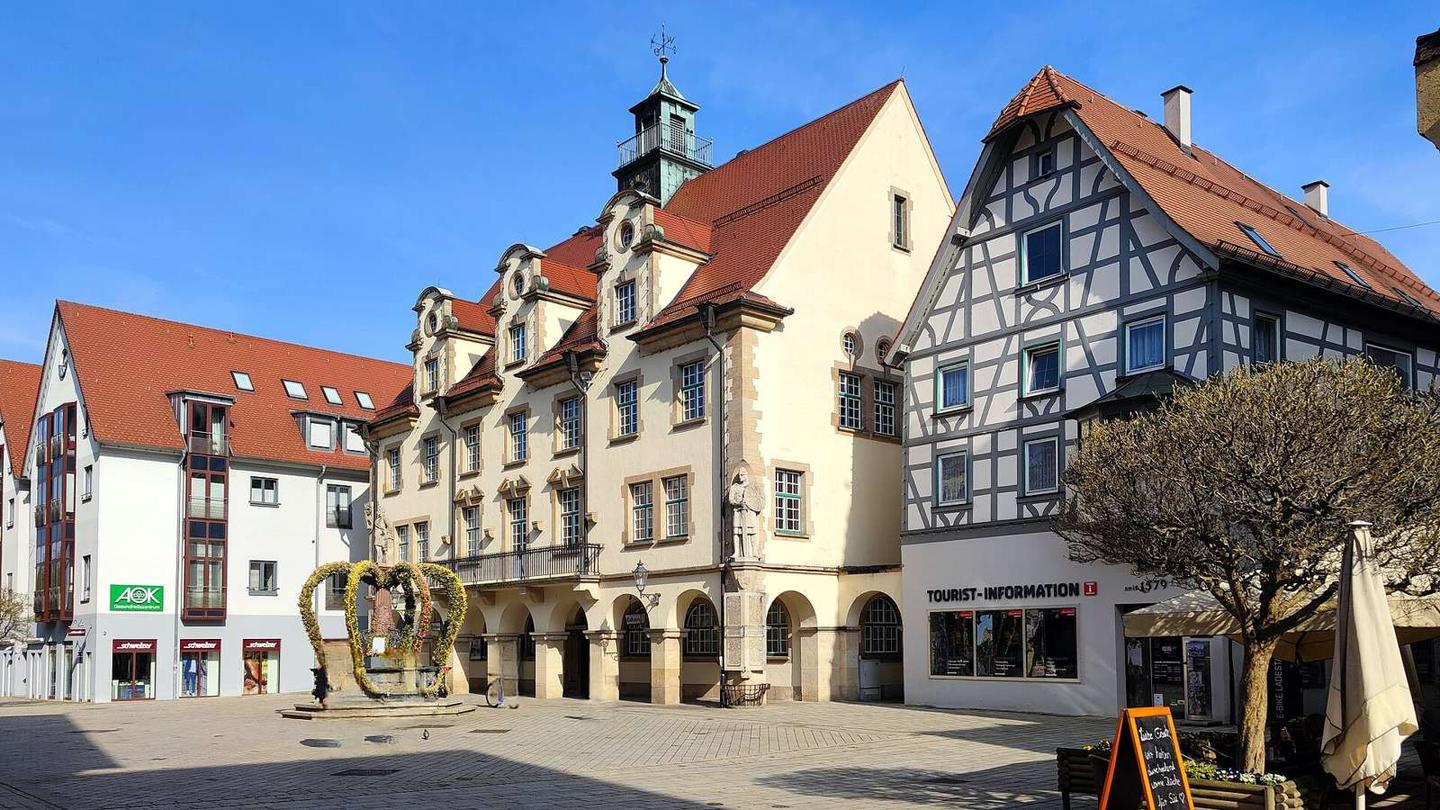
- Ending at Sigmaringen with Schloss Sigmaringen castle
Along the route
Places passed
Climbs
| Climb | Starts at | Length | Gain | Average | Max | Top |
|---|---|---|---|---|---|---|
| Neustadt im Schwarzwald climb | 10 km | 4.4 km | 196 m | 4.5 % | 7.4 % | 1034 m |
| — | 31.1 km | 1.9 km | 46 m | 2.4 % | 3.4 % | 740 m |
| — | 41.1 km | 1.6 km | 43 m | 2.7 % | 4.8 % | 739 m |
| Biesingen climb | 46.4 km | 3.4 km | 137 m | 4 % | 8.7 % | 843 m |
| Tuttlingen climb | 65.5 km | 3.1 km | 130 m | 4.2 % | 8.2 % | 778 m |
| — | 70.3 km | 1.9 km | 47 m | 2.5 % | 6.1 % | 790 m |
| — | 78.6 km | 2.5 km | 59 m | 2.3 % | 4.7 % | 792 m |
| Beuron climb | 87.6 km | 4.1 km | 252 m | 6.2 % | 8.6 % | 873 m |
Neustadt im Schwarzwald climb · starts at 10 km
Biesingen climb · starts at 46.3 km
Tuttlingen climb · starts at 65.5 km
What this ride is like
- Roads
- 55% minor road · 12% main road · 11% quiet street · 9% track
- Main roads
- 13.7 km on main roads without a cycle lane — likely busier
- Fast roads
- 30.4 km on roads with a limit of 80 km/h or more
- Cycle paths
- 4 km on cycle paths or roads with a cycle lane
- Main roads used
- K 5740 (12 km), K 8217 (8 km), K 5945 (8 km), K 5944 (6 km)
- Surface
- Paved throughout
- Gradient
- 21% climbing · 30% descending · 49% flat
- Steep sections
- 8.2 km over 5% · 0.6 km over 8%
- Longest descent
- 7.1 km from 22.4 km, dropping 235 m
Along the way
Food, water and shops
- 0.1 kmSchwarzwald-Apotheke · pharmacy · on the route
- 3.9 kmFreie T · petrol station · 50 m off route
- 4.1 kmThoma Sports · bike shop · 150 m off route
- 9.7 kmNorma · supermarket · 60 m off route
- 30.7 kmBäckerei Schmid · bakery · on the route
- 30.8 kmToilets · on the route
- 35.2 kmToilets · 60 m off route
- 36.2 kmWater tap · 250 m off route
- 64.8 kmToilets · 70 m off route
- 65.2 kmRathausapotheke · pharmacy · on the route
- 66.7 kmEsso · petrol station · 50 m off route
- 74.7 kmApotheke · pharmacy · 30 m off route
- 75.4 kmAutohaus Schaz GmbH · petrol station · 80 m off route
- 87.6 kmDrahtesel · café · on the route
- 87.6 kmToilets · 30 m off route
- 107.8 kmNetto Marken-Discount · supermarket · 30 m off route
- 111.9 kmAral · petrol station · 70 m off route
- 112.5 kmDrinking water · 60 m off route
Need to bail out?
- 0.2 km — Hinterzarten (station), 60 m off route
- 10 km — Neustadt (Schwarzwald) (station), 810 m off route
- 31.5 km — Bräunlingen Bahnhof (station), 50 m off route
- 63.7 km — Tuttlingen Schulen (halt), 190 m off route
- 87.2 km — Beuron (halt), 170 m off route
- 112.5 km — Sigmaringen (station), 310 m off route
Worth a stop
- 0.3 km — Glockenspiel (attraction)
- 43.3 km — Dorflinde (attraction)
- 59 km — Ruine Konzenberg (castle)
- 82 km — Langer Hans (viewpoint)
- 89 km — Alpenblick (viewpoint)
- 108.4 km — Teehaus (castle)
At the start
- No 5 · café · 50 m
- Fischer's Bäckerstüble · bakery · 70 m
- Hinterzarten · station · 190 m
- Kurhaus-Café · café · 120 m
- Fischerbeck · bakery · 190 m
At the finish
- Andy's Früchte · café · 40 m
- TheaterCaFé · café · 110 m
- Backhaus Mahl · bakery · 80 m
- Neue Apotheke am Schloss · pharmacy · 80 m
- Hotel Restaurant Traube · restaurant · 20 m
Stay after this ride
- Hotel Traube · hotel · 20 m from the finish
- Apartment am Schloss · apartment · 80 m from the finish
- Karls Hotel · hotel · 330 m from the finish
- Campingplatz Sigmaringen · campsite · 640 m from the finish
- Gästehaus Pfefferle · guest house · 760 m from the finish
Practical information
- Paved
- Point to point
- 8 h 18 min
Know before you go
- Longest stretch without café, shop or water 10.4 km from km 52.3
- 13.7 km on main roads without a cycle lane
- 30.4 km on roads with speed limits 80 km/h+
- 6% gravel or unpaved sections