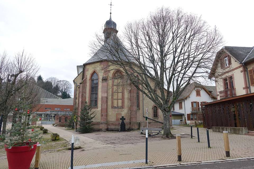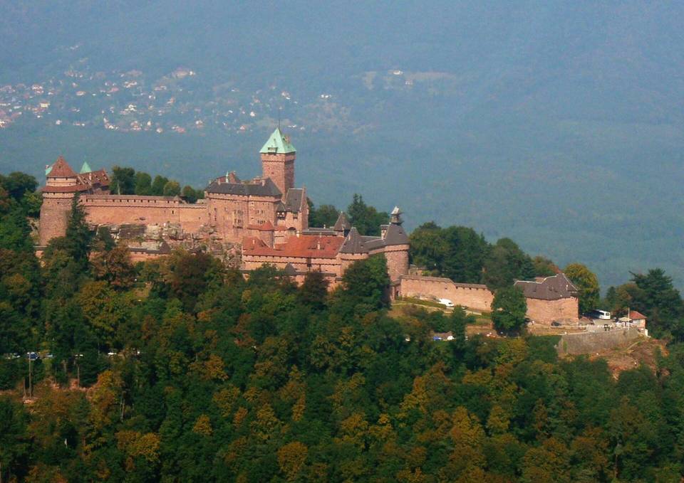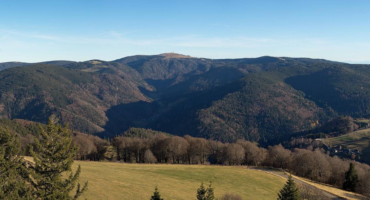
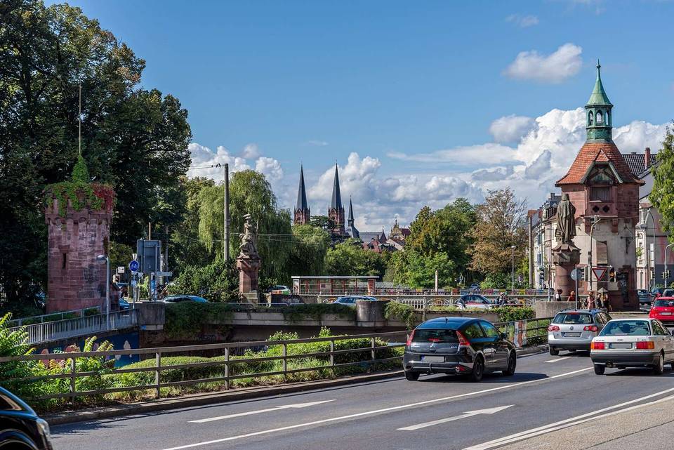
Feldberg (Black Forest) from Kirchzarten
- 15 km
- 886 m
- Moderate
- Paved
Elevation profile
- 886 m
- 15 km
Route overview
Suitable for riders prepared for a 14.6 km climb gaining 886 m elevation.
14.6 km climb to Feldberg from Kirchzarten in Germany's Black Forest with 886 m elevation gain.
The route starts in Kirchzarten at 390 m and ascends 886 m over 14.6 km to reach 1276 m near Feldberg. It passes through Oberried at 3.2 km, Zastler-Siedlung at 4.1 km, Zastler at 6.1 km, and Hinteres Zastler at 7.5 km before finishing near Feldberg peak at 14.6 km. The main climb of 12.9 km begins at 1.7 km, averages 6.7% gradient and reaches a maximum of 12%. The surface is predominantly paved (92%) with 8% gravel or unpaved. The ride mainly follows minor roads (41%), quiet streets (30%), paths (12%), tracks (10%), and a short 1 km section of road with cycle lane. The K 4960 is the longest named road section ridden for 4.2 km. Climbing accounts for 92% of the route with 7.2 km over 5%, 5.7 km over 8%, and 2.6 km steeper than 10%. At the start in Kirchzarten there are several bakeries, cafés, supermarkets, and a bike shop. Water is available at several points along the route including Narrenbrunnen at the start and at 6.1, 9.4, and 14.4 km. The longest stretch without café, shop or water is 3.2 km from 11.2 to 14.4 km. The finish near Zastler Hütte has a restaurant and drinking water nearby. A bail out point is available at the start in Kirchzarten with a station 699 m off route.
Highlights
- Climb starting near Kirchzarten
- Peaks near route: Köpfle, Feldberg, Baldenweger Buck
- Longest named road K 4960 for 4.2 km
- Zastler Hütte restaurant near finish
What this ride is like
- Roads
- 41% minor road · 30% quiet street · 12% path · 10% track
- Cycle paths
- 1 km on cycle paths or roads with a cycle lane
- Main roads used
- K 4960 (4 km)
- Surface
- Paved throughout
- Gradient
- 92% climbing · 1% descending · 7% flat
- Steep sections
- 7.2 km over 5% · 5.7 km over 8% · 2.6 km over 10%
Along the way
Food, water and shops
- 0 kmBeckesepp · bakery · 110 m off route
- 0 kmNarrenbrunnen · drinking water · 140 m off route
- 0 kmToilets · 190 m off route
- 0 kmFahrrad Wunderle · bike shop · 300 m off route
- 2.9 kmBeckesepp · supermarket · 40 m off route
- 3.2 kmKloster Apotheke · pharmacy · 50 m off route
- 6.1 kmDrinking water · on the route
- 9.4 kmDrinking water · on the route
- 11.1 kmToilets · 90 m off route
- 14.4 kmZastler Hütte · restaurant · 40 m off route
- 14.4 kmDrinking water · 50 m off route
Need to bail out?
- 0 km — Kirchzarten (station), 700 m off route
Worth a stop
- 0.2 km — Dreisambad (attraction)
At the start
- Beckesepp · bakery · 110 m
- Reiß-Beck · café · 140 m
- EDEKA Beckesepp · supermarket · 110 m
- Bäckerei Steimle · bakery · 160 m
- Café Americano · café · 160 m
At the finish
- Zastler Hütte · restaurant · 160 m
Stay after this ride
- Naturfreundehaus Feldberg · hostel · 550 m from the finish
Practical information
- Paved
- Point to point
- 1 h 03 min
Know before you go
- Longest stretch without café, shop or water is 3.2 km from 11.2 to 14.4 km