Cyclists.com

Trois-Épis from Turckheim

Turckheim, FranceRoad

Routed from the map This classic road was traced on OpenStreetMap and measured against the terrain model; no member has recorded it yet. Ridden it? Add your recording and photos.

8 km
Distance
418 m
Elevation gain
Easy
Difficulty
Paved
Surface

Elevation profile

Total ascent
418 m
Distance
8 km
Elevation (m)02004006008000 km2 km4 km6 km8 kmHighest point660 m at 7.7 kmStart0 kmFinish8 km

Route overview

Cyclists suited to short but steady climbs with sustained gradients around 6%.

A 7.7 km climb from Turckheim to 659 m at Trois-Épis in France with 418 m elevation gain.

The route starts in Turckheim at 241 m and immediately begins climbing, with a first 1.4 km section gaining 75 m at 5.3% average and up to 7%. After a short flatter segment, the longer main climb starts at 2 km, rising for 5.7 km by 349 m at 6.1% average gradient and up to 8.3%, reaching a height of 659 m at Trois-Épis. Most of the climbing (91%) occurs over 5.2 km of the route, with a short 0.1 km stretch exceeding 10% and the steepest 500 m section at 19.6%.

Highlights

  • Climb beginning at 0.1 km
  • Long main climb from 2 to 7.7 km
  • Reach 659 m at Trois-Épis finish
  • Steepest 500 m at route start

Along the route

Measured from the recorded track and OpenStreetMap.

Climbs

ClimbStarts atLengthGainAverageMaxTop
0.1 km1.4 km75 m5.3 %7 %317 m
Turckheim climb2 km5.7 km349 m6.1 %8.3 %659 m

High point 659 m at 7.7 km; low point 241 m.

Turckheim climb · starts at 2 km

5.7 km at 6.1% · 349 m
350400450500550600650ELEVATION (M)7.0%5.7%7.0%6.0%4.4%0 km123455.7 kmDISTANCE (KM)Turckheim climb · 659 mSTEEPEST 7.0%
< 4%4 – 7%7 – 10%> 10%

What this ride is like

Measured from OpenStreetMap along the track and the elevation profile.

Roads
92% minor road · 6% quiet street
Fast roads
4.7 km on roads with a limit of 80 km/h or more
Main roads used
D 11.II (5 km)
Surface
Paved throughout
Gradient
91% climbing · 4% descending · 5% flat
Steep sections
5.2 km over 5% · 0.8 km over 8% · steepest 500 m averages 19.6% at 0 km

Along the way

Within a few hundred metres of the track, from OpenStreetMap. Opening hours change — treat this as where to look, not a promise.

Food, water and shops

  1. 0 kmCasino · supermarket · 120 m off route
  2. 0.1 kmPharmacie Pimbel · pharmacy · 140 m off route
  3. 2.2 kmAu Relais des Trois Épis · bakery · on the route
  4. 2.2 kmToilets · 40 m off route
  5. 6.7 kmFontaine Pauline · spring · 210 m off route
  6. 7.7 kmBoulangerie Lorang · café · 40 m off route
  7. 7.7 kmAu Grain De Blé · general store · on the route
  8. 7.7 kmToilets · 100 m off route

Need to bail out?

  • 0 kmTurckheim (station), 280 m off route

Whether bikes are carried depends on the service — check before relying on it.

Worth a stop

  • 0 kmCorps de Garde (attraction)

At the start

  • Boulangerie Husser · bakery · 140 m
  • Casino · supermarket · 120 m
  • Pâtisserie Carl · patisserie · 160 m
  • Turckheim · station · 280 m
  • Brasserie Gourmandizes & Co · restaurant · 140 m

At the finish

  • Boulangerie Lorang · café · 50 m
  • Canyon Café · pub · 40 m
  • Au Grain De Blé · general store · 20 m
  • Mon Repos · restaurant · 320 m
  • Centre médical MGEN · hospital · 130 m

Stay after this ride

  • Villa Rosa · hotel · 260 m from the finish
  • L'Alexain · hotel · 270 m from the finish
  • Les Deux Cléfs · hotel · 3.7 km from the finish
  • Berceau du Vigneron · hotel · 3.8 km from the finish
  • Camping le Médiéval · campsite · 3.4 km from the finish

Practical information

Surface
Paved
Route shape
Point to point
Riding time
33 min

Know before you go

  • Longest stretch without café, shop or water is 4.5 km from km 2.2 to 6.7
  • 4.7 km on roads with speed limits over 80 km/h

Routes are for inspiration. Roads, surfaces and conditions change — check locally and ride within your limits.

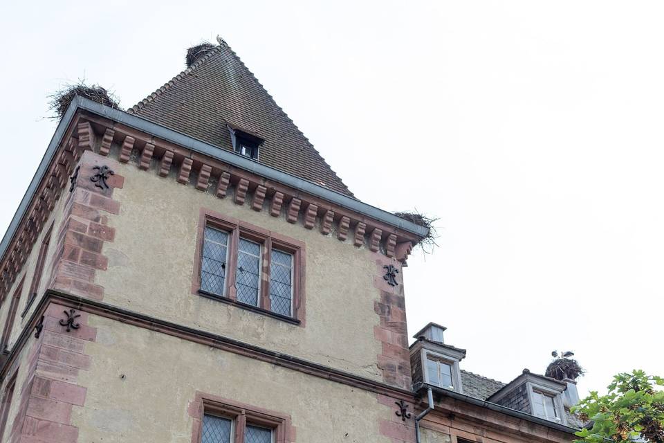
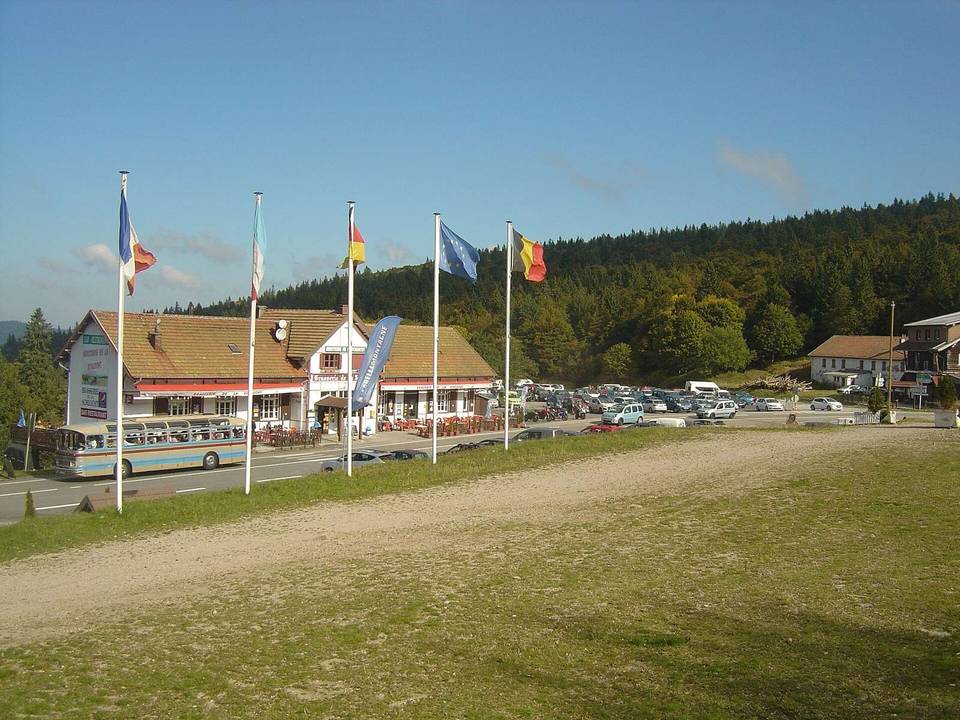
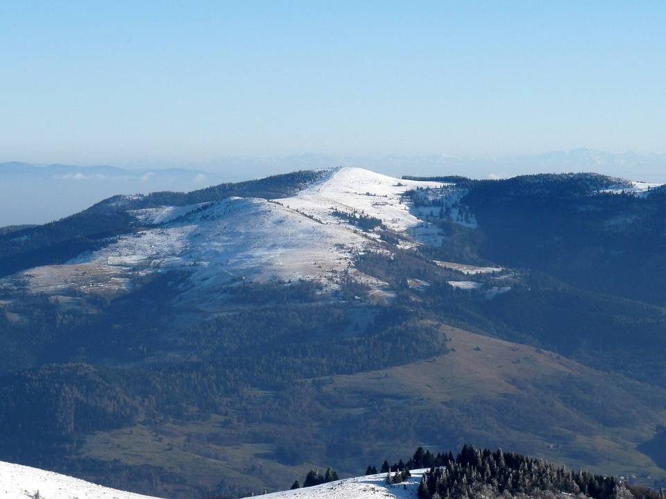
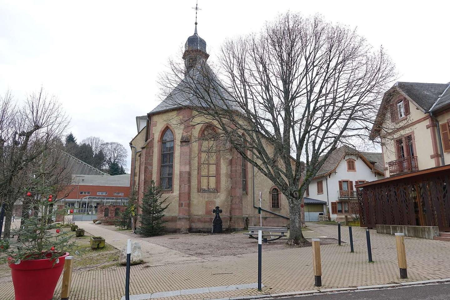
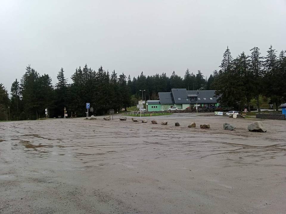
2 photographs from the road

Photo: Gzen92 · CC BY-SA 4.0 · Wikimedia Commons · Photo: Saile, François Xavier (1840-1905). Fonction indéterminée · Public domain · Wikimedia Commons