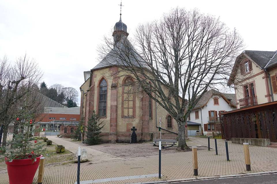
Col du Calvaire from Orbey
- 11 km
- 656 m
- Easy
- Paved
Elevation profile
- 656 m
- 11 km
Route overview
This ride suits cyclists comfortable with a steady 11 km climb gaining 656 m.
Col du Calvaire from Orbey is an 11.1 km climb in France gaining 656 m.
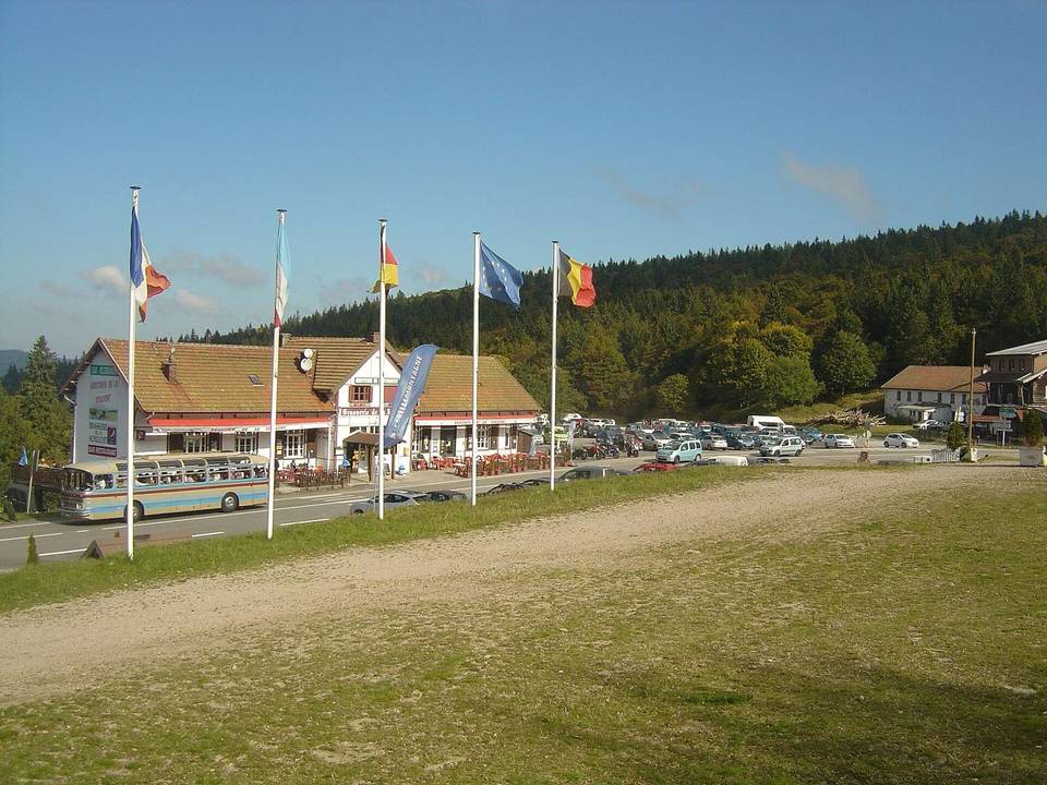
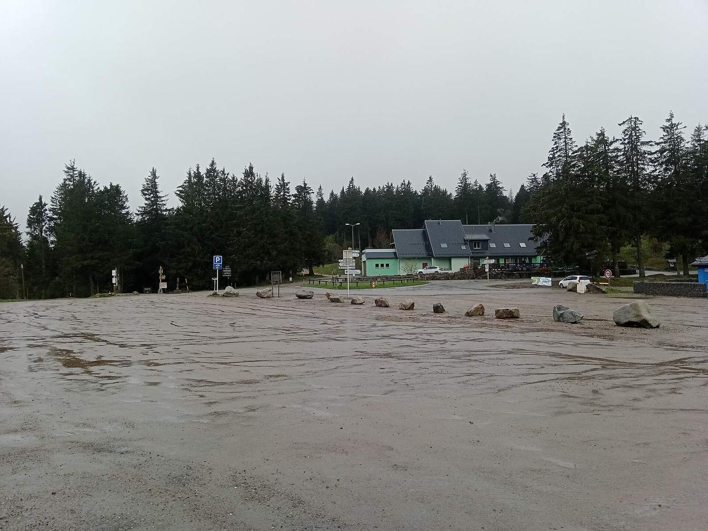
The route starts near Orbey at 486 m and climbs steadily for 11.1 km to reach the Col du Calvaire at 1142 m. This climb gains 654 m at an average gradient of 5.9%, with sections up to 9.7%. The majority of the ascent is uphill with only 1% descent and no flat sections. The road surface is mostly paved (97%) with a small portion of unpaved or gravel (2%). The ride primarily uses main roads, covering 9.5 km including 8.2 km on the D 48II. Note that all main road sections lack dedicated cycle lanes, and 3.6 km is on roads where the speed limit is 80 km/h or more. At the start in Orbey, there are several food options including bakeries, restaurants, a café, and a supermarket. Water is available from springs near km 5.2 and km 8.9. Toilets are located near km 0.5 and at the summit. A viewpoint named Les Balcons d'Orbey lies just before km 10 and is worth a short detour. The finish includes two restaurants nearby.
Highlights
- Climb to 1142 m Col du Calvaire
- Start and finish in Orbey with eateries
- Springs at km 5.2 and 8.9 for water
- Viewpoint Les Balcons d'Orbey near km 9.7
Along the route
Climbs
| Climb | Starts at | Length | Gain | Average | Max | Top |
|---|---|---|---|---|---|---|
| Orbey climb | 0.1 km | 11.1 km | 654 m | 5.9 % | 9.7 % | 1142 m |
Orbey climb · starts at 0.1 km
What this ride is like
- Roads
- 85% main road · 13% quiet street
- Main roads
- 9.5 km on main roads without a cycle lane — likely busier
- Fast roads
- 3.6 km on roads with a limit of 80 km/h or more
- Main roads used
- D 48II (8 km)
- Surface
- Paved throughout
- Gradient
- 99% climbing · 1% descending · 0% flat
- Steep sections
- 8.3 km over 5% · 1.6 km over 8%
Along the way
Food, water and shops
- 0.1 kmIntermarché · supermarket · 380 m off route
- 0.3 kmLes Kougelhopfs de Frédéric · bakery · on the route
- 0.5 kmToilets · 100 m off route
- 0.5 kmPharmacy · 60 m off route
- 5.2 kmSpring · 40 m off route
- 8.9 kmSource Cornélia · spring · 120 m off route
- 10.9 kmRestaurant Les terrasses du Lac Blanc · restaurant · 40 m off route
- 11.1 kmToilets · 170 m off route
Worth a stop
- 9.7 km — Les Balcons d'Orbey (viewpoint)
At the start
- Les Kougelhopfs de Frédéric · bakery · 110 m
- Boulangerie Patisserie Weber · bakery · 180 m
- Hôtel restaurant Les Bruyères · restaurant · 240 m
- Au Petit Gourmet · restaurant · 180 m
- Le Chocola'thé · café · 620 m
At the finish
- Auberge des Crêtes · restaurant · 50 m
- Restaurant Les terrasses du Lac Blanc · restaurant · 180 m
Stay after this ride
- Les Terrasses du Lac Blanc · hotel · 190 m from the finish
- Résidence Vosges Alsace du Lac Blanc · apartment · 190 m from the finish
- Les ô welches côté Lac · guest house · 1.9 km from the finish
Practical information
- Paved
- Point to point
- 48 min
Know before you go
- 9.5 km on main roads without cycle lanes
- 3.6 km on roads with speed limits 80 km/h+
- Longest stretch without cafe/shop or water: 1.9 km from km 7 to 8.9
- Steep sustained gradient up to 9.7%