
Cyclists.com

Cycle Across the Beacons

Abergavenny, Monmouthshire, United KingdomRoad

Signed route The waymarked Cycle Across the Beacons (Brecon Beacons National Park;Walk Wheel Cycle Trust), traced from OpenStreetMap and measured against the terrain model; no member has recorded it yet. Ridden it? Add your recording and photos.

92 km
Distance
837 m
Elevation gain
Hard
Difficulty
Paved
Surface
Download GPXMap

Elevation profile

Total ascent
837 m
Distance
92 km
0100200300400m0 km2040608092 km341 m · highest, at 66.5 kmStartFinish

Route overview

Suitable for riders prepared for a 92 km route with 837 m of climbing.

A 92 km ride across the Beacons from Abergavenny to Llandeilo in Monmouthshire with 837 m climbing.

The ride starts just beyond Abergavenny and passes through several villages including Llanfoist, Govilon, Gilwern, and Crickhowell before reaching Brecon at 37 km. The first notable climbs occur early at around 1.6 km for 3.6 km with an average gradient of 2%. The route includes 14% gravel or unpaved surfaces, mainly on paths and tracks. The longest stretch without a café, shop or water is 35.2 km between 53.7 km and 88.9 km. After Brecon, the route climbs twice more with gradients nearing 3% at 37.2 km and 43.8 km. Smaller climbs occur near 60.8 km and 74.9 km with gradients up to 9.4%. The ride peaks at 354 m elevation around 67.4 km then descends to Llandeilo. The road types include 59% minor roads, 16% main roads, and 12% paths, with 15.3 km on main roads lacking cycle lanes. The B4558 is the longest named road used for 13.3 km. There are multiple places to buy food and drink early on including cafés and pubs near the start and at Talybont-on-Usk and Brecon. Shops and water taps are available up to about 53 km but none between 53.7 km and 88.9 km. Bailout points with stations are at the start in Abergavenny and finish in Llandeilo.

Highlights

  • Near Slwch Tump at 35.6 km
  • Peak elevation 354 m at 67.4 km
  • Longest descent 4 km from 86.5 km
  • Crossing Brecon at 37 km

Along the route

Measured from the recorded track and OpenStreetMap.

Places passed

  1. Llanfoist 2.6 km
  2. Govilon 5.2 km
  3. Gilwern 7.5 km
  4. Glangrwyney 10.2 km
  5. Llangattock 13.5 km
  6. Crickhowell 14.2 km
  7. Dardy 14.3 km
  8. Llangynidr 19.9 km
  9. Lower Llangynidr 20.6 km
  10. Talybont-on-Usk 25.9 km
  11. Cross Oak 27.5 km
  12. Pencelli 29.2 km
  13. Llanfrynach 31.3 km
  14. Groesffordd 34 km
  15. Dorganloch 35.1 km
  16. Brecon 37 km
  17. Llanfaes 37.3 km
  18. Pendre 37.7 km
  19. Cradoc 40.5 km
  20. Aberyscir 42.5 km
  21. Aberbran 44.1 km
  22. Trallong 46.1 km
  23. Sennybridge 52.2 km
  24. Defynnog 52.9 km
  25. Trecastle 58.8 km
  26. Twynllanan 73.1 km
  27. Gwynfe 77.7 km
  28. Ffairfach 88.9 km
  29. Llandeilo 90 km

Climbs

ClimbStarts atLengthGainAverageMaxTop
1.6 km3.6 km69 m2 %3.8 %115 m
37.2 km2.2 km65 m2.9 %5.7 %202 m
43.8 km2.2 km61 m2.9 %5.5 %229 m
60.8 km2 km75 m3.8 %6.1 %326 m
74.9 km2.1 km85 m4 %9.4 %205 m
79.1 km1.6 km67 m4.1 %6.1 %259 m

High point 354 m at 67.4 km; low point 27 m. Passes beneath Slwch Tump.

What this ride is like

Measured from OpenStreetMap along the track and the elevation profile.

Roads
59% minor road · 16% main road · 12% path · 6% cycle path
Main roads
15.3 km on main roads without a cycle lane — likely busier
Fast roads
6.6 km on roads with a limit of 80 km/h or more
Cycle paths
5.9 km on cycle paths or roads with a cycle lane
Main roads used
B4558 (13 km)
Surface
84% paved · 14% gravel or unpaved
Gradient
21% climbing · 21% descending · 58% flat
Steep sections
2.4 km over 5% · 0.4 km over 8% · steepest 500 m averages 8% at 77 km
Longest descent
4 km from 86.5 km, dropping 216 m

Along the way

Within a few hundred metres of the track, from OpenStreetMap. Opening hours change — treat this as where to look, not a promise.

Longest stretch without a café, shop or water: 35 km, from 54 km to 89 km.

Food, water and shops

  1. 0 kmWhistle Stop Cafe · café · on the route
  2. 0.9 kmRepair stand · 480 m off route
  3. 7.5 kmLondis · convenience store · 130 m off route
  4. 7.6 kmPharmacy · 70 m off route
  5. 8 kmToilets · 40 m off route
  6. 13.5 kmHorse Shoe Inn · pub · 370 m off route
  7. 19.9 kmcyclebasket.com · bike shop · 100 m off route
  8. 21 kmCoach and Horses · pub · 40 m off route
  9. 26.1 kmCanalside Cafe · café · on the route
  10. 26.1 kmDrover Cycles, Talybont on Usk · bike shop · on the route
  11. 28.7 kmDrinking water · on the route
  12. 33 kmWater tap · 50 m off route
  13. 36.2 kmToilets · on the route
  14. 36.7 kmAldi · supermarket · 50 m off route
  15. 37.2 kmBiped Cycles · bike shop · on the route
  16. 52.1 kmSpar · convenience store · 240 m off route
  17. 89.7 kmCafe Braz · café · 50 m off route
  18. 89.9 kmNigel Williams · pharmacy · on the route

Need to bail out?

  • 0.1 kmAbergavenny (station), 60 m off route
  • 90.3 kmLlandeilo (station), 80 m off route

Whether bikes are carried depends on the service — check before relying on it.

Worth a stop

  • 0.9 kmCastell Y Fenni (castle)
  • 20.4 kmCastle Farm Stone (archaeological site)
  • 37.3 kmBrecon Castle (castle)
  • 70.6 kmRed Kite Feeding Station (attraction)
  • 84.4 kmPen y Lan (peak, 268 m)

At the start

  • Abergavenny · station · 60 m
  • Whistle Stop Cafe · café · 20 m
  • Oasis Sandwich Bar · café · 510 m
  • Aldi · supermarket · 520 m
  • Tŷ Fferm · supermarket · 660 m

At the finish

  • Llandeilo · station · 80 m
  • CK's Supermarket · supermarket · 230 m
  • Cafe Braz · café · 520 m
  • Diod · café · 460 m
  • Well Pharmacy · pharmacy · 350 m

Stay after this ride

  • Cawdor Arms · hotel · 450 m from the finish
  • The Plough Inn · hotel · 1.4 km from the finish

Practical information

Surface
Paved
Route shape
Point to point
Riding time
6 h 35 min
Best months
May to Sep — daily highs of 16–21 °C in those months

Know before you go

  • 35.2 km without café, shop or water from 53.7 to 88.9 km
  • 15.3 km on main roads without cycle lanes
  • 6.6 km on roads with speed limits 80 km/h or more
  • 1.3 km gravel or unpaved track

Routes are for inspiration. Roads, surfaces and conditions change — check locally and ride within your limits.

5 photographs from the road

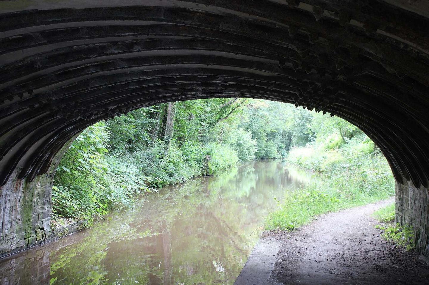
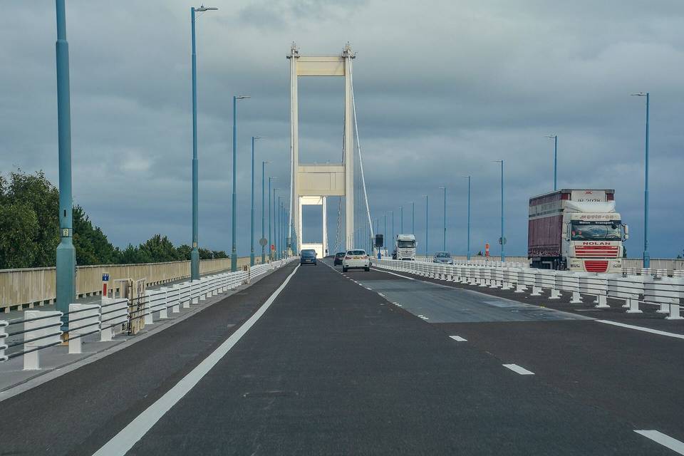
Photo: M J Roscoe · CC BY-SA 2.0 · Wikimedia Commons · Photo: Gareth James · CC BY-SA 2.0 · Wikimedia Commons · Photo: Chris Andrews · CC BY-SA 2.0 · Wikimedia Commons · Photo: Alan Hughes · CC BY-SA 2.0 · Wikimedia Commons · Photo: Jaggery · CC BY-SA 2.0 · Wikimedia Commons

More rides from Abergavenny