Gravel · United Kingdom
 Aberdeen City1 ride · 1 place
 Aberdeenshire9 rides · 6 places
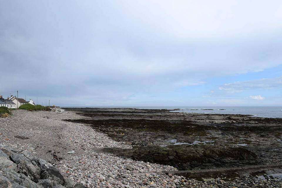 Angus2 rides · 2 places
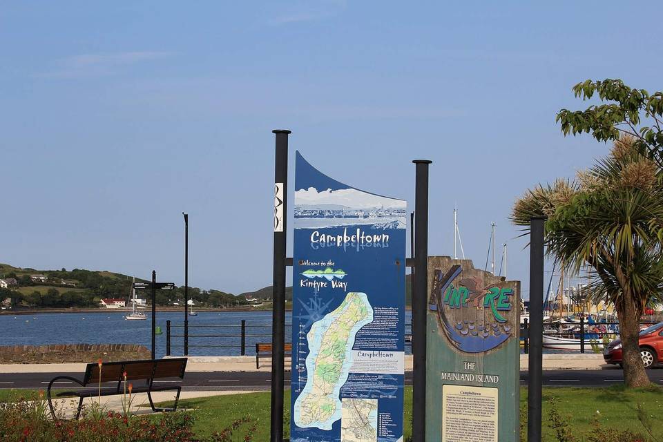 Argyll and Bute10 rides · 9 places
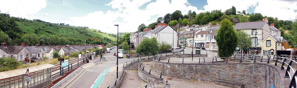 Blaenau Gwent1 ride · 1 place
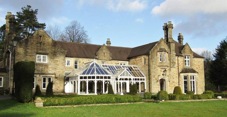 Bridgend County Borough1 ride · 1 place
 Caerphilly County Borough3 rides · 2 places
 Carmarthenshire4 rides · 3 places
 City of Edinburgh6 rides · 2 places
 Clackmannanshire3 rides · 3 places
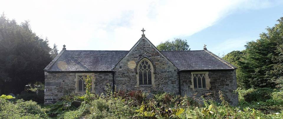 Conwy2 rides · 2 places
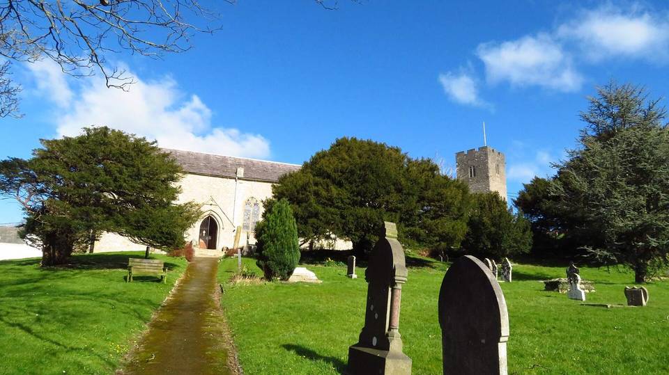 Denbighshire2 rides · 2 places
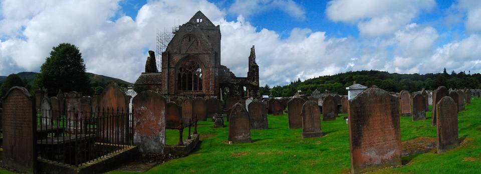 Dumfries and Galloway14 rides · 12 places
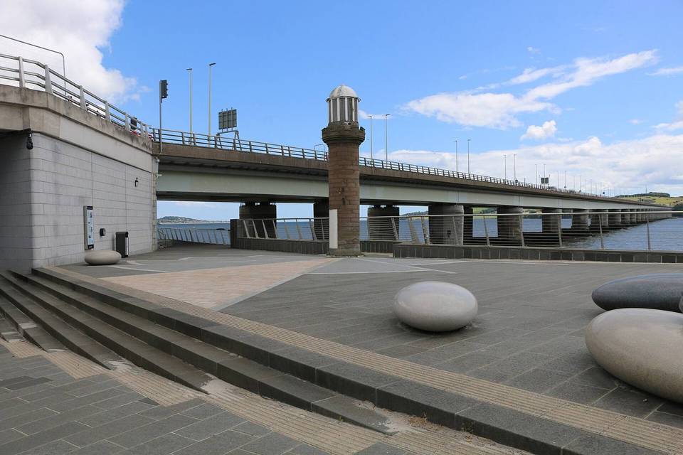 Dundee City1 ride · 1 place
 East Dunbartonshire2 rides · 2 places
 East Lothian3 rides · 3 places
 East Renfrewshire2 rides · 2 places
 England52 rides · 24 places
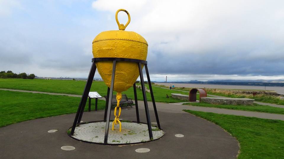 Falkirk2 rides · 2 places
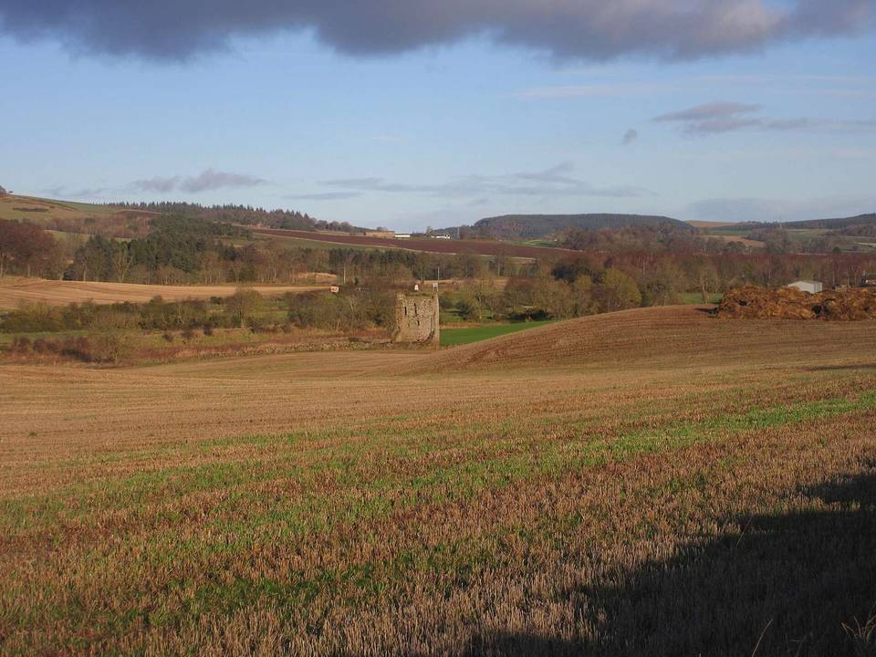 Fife6 rides · 5 places
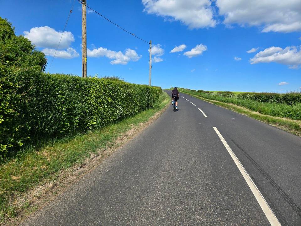 Glasgow City4 rides · 1 place
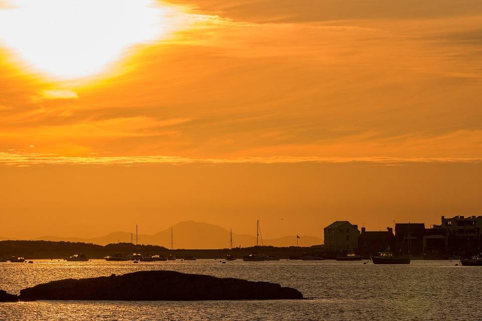 Gwynedd11 rides · 11 places
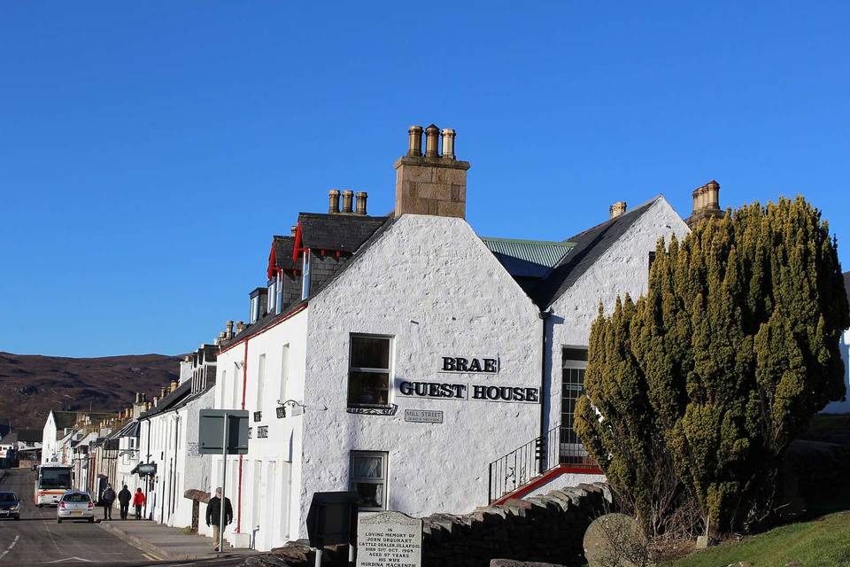 Highland30 rides · 22 places
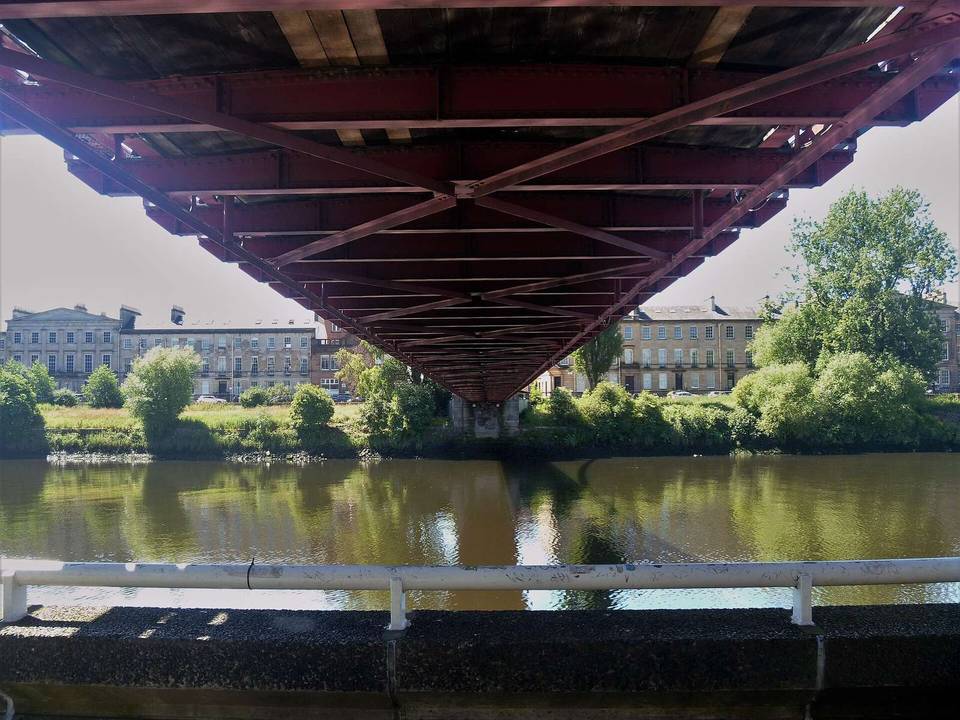 Inverclyde1 ride · 1 place
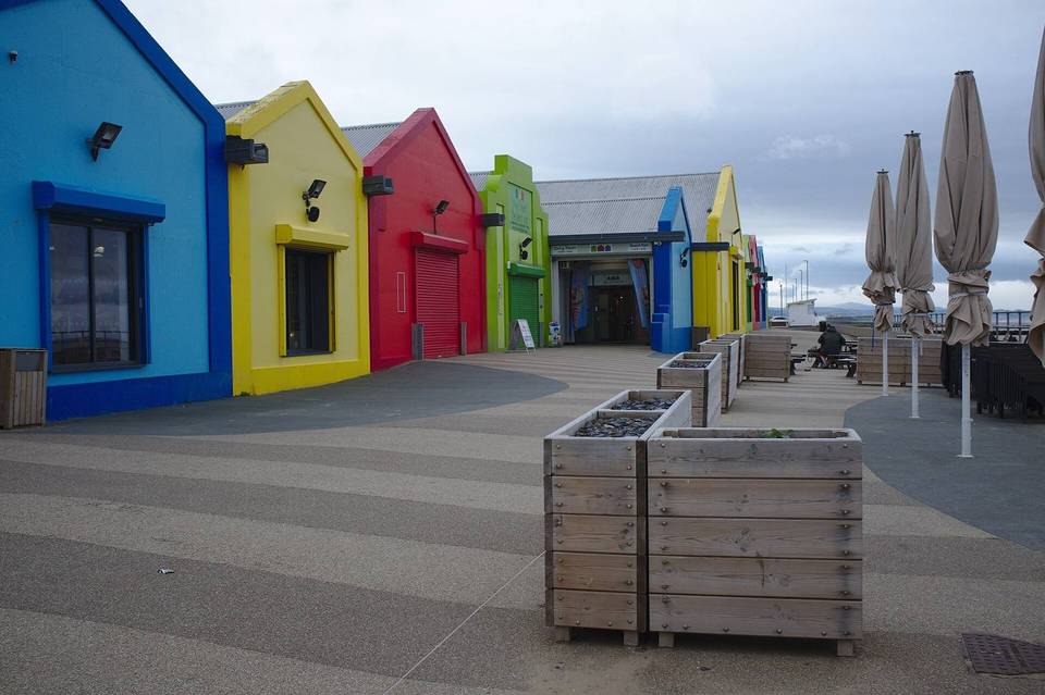 Isle of Anglesey8 rides · 7 places
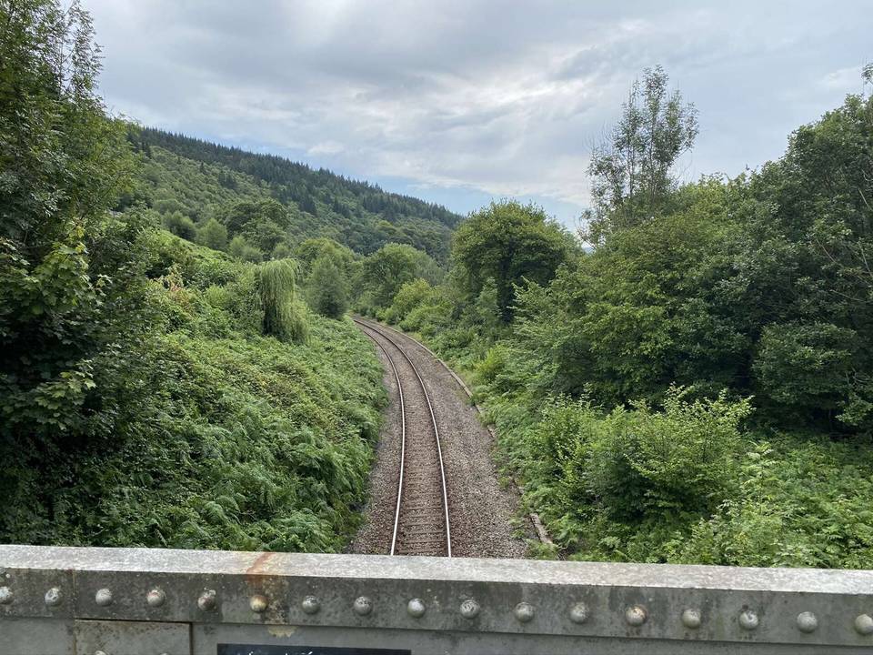 Merthyr Tydfil County Borough1 ride · 1 place
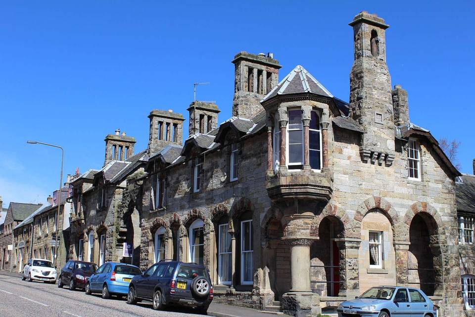 Midlothian2 rides · 2 places
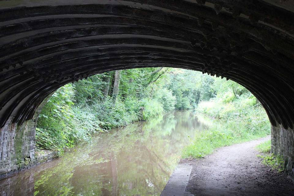 Monmouthshire7 rides · 6 places
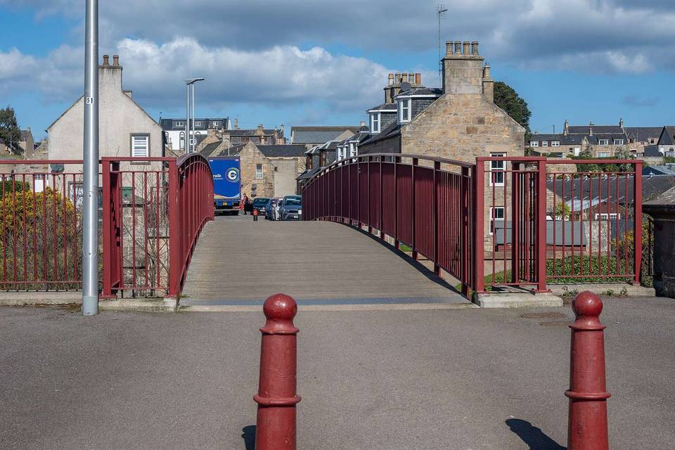 Moray5 rides · 3 places
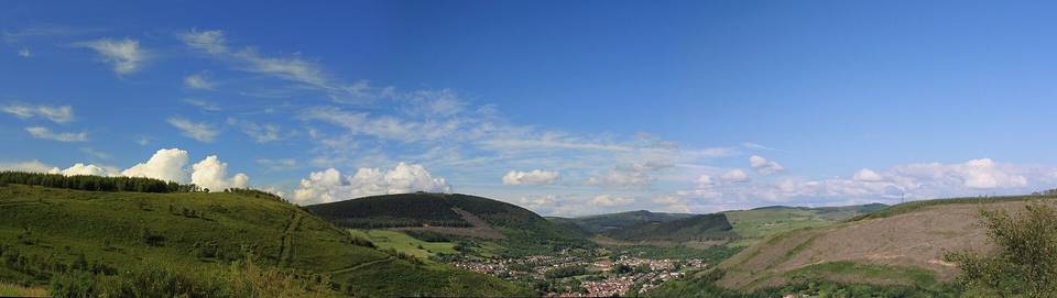 Neath Port Talbot2 rides · 2 places
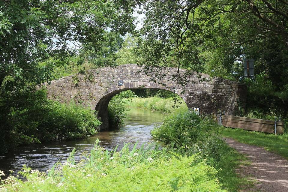 Newport1 ride · 1 place
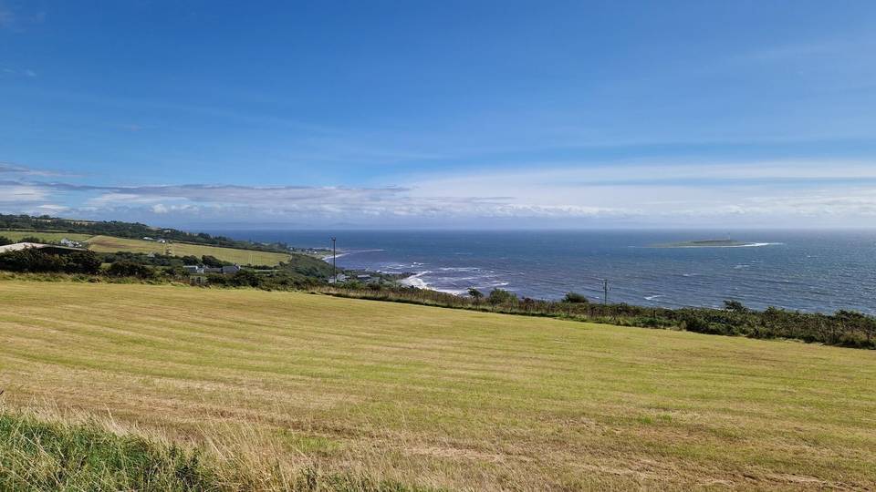 North Ayrshire3 rides · 2 places
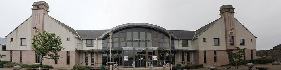 Orkney Islands1 ride · 1 place
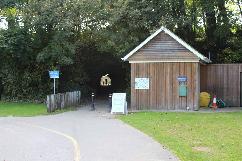 Pembrokeshire2 rides · 2 places
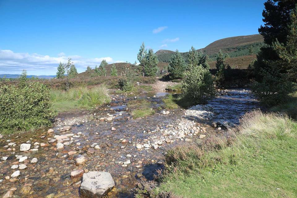 Perth and Kinross9 rides · 9 placesPowys8 rides · 6 places
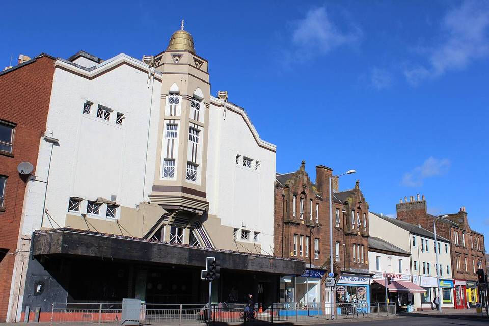 Renfrewshire1 ride · 1 place
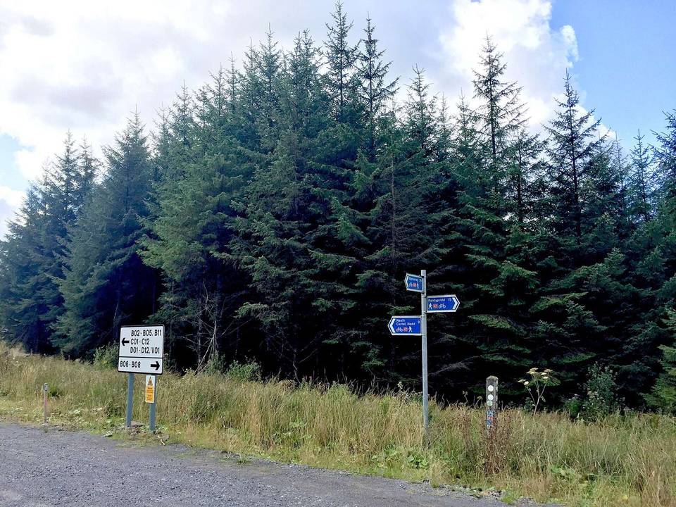 Rhondda Cynon Taf3 rides · 3 places
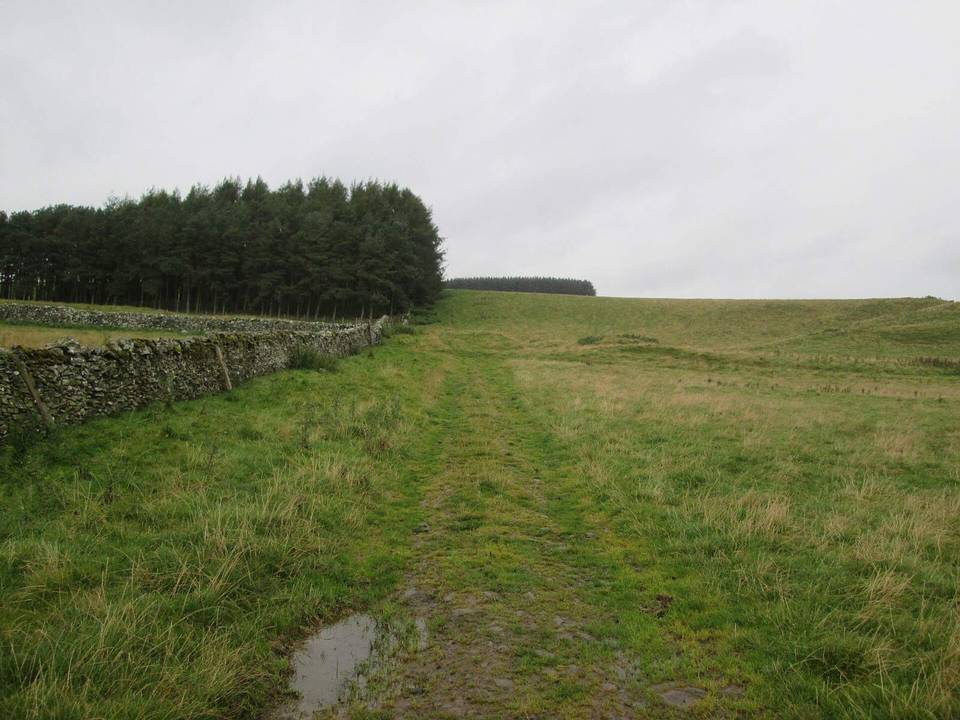 Scottish Borders46 rides · 23 places
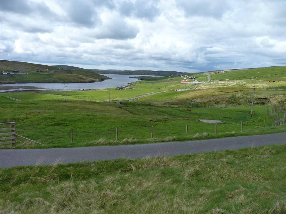 Shetland5 rides · 5 places
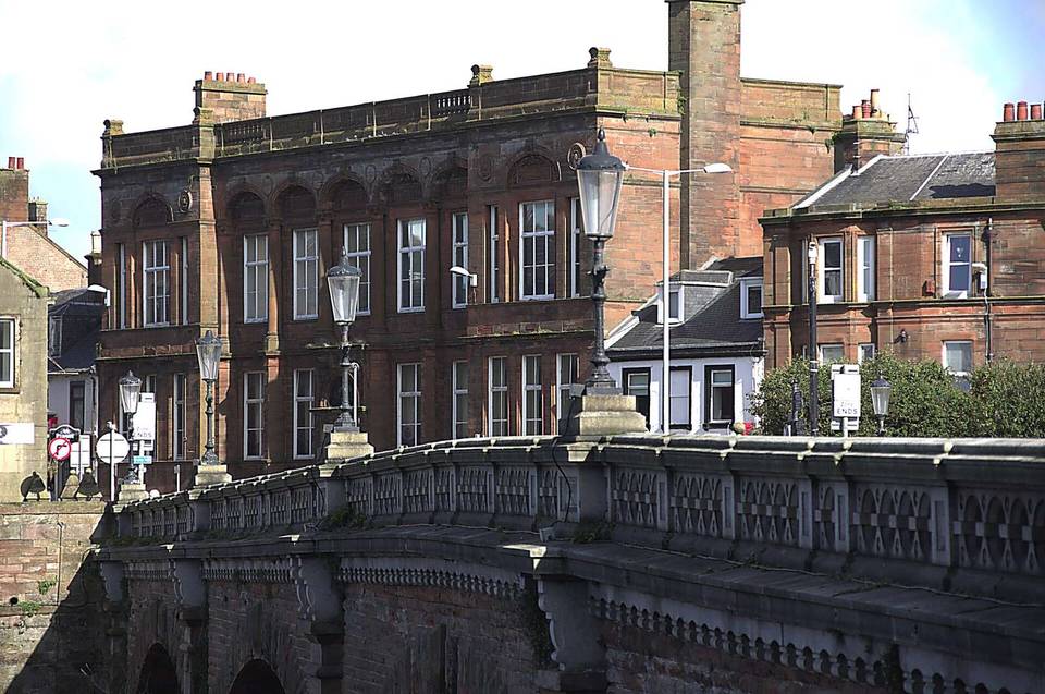 South Ayrshire3 rides · 3 places
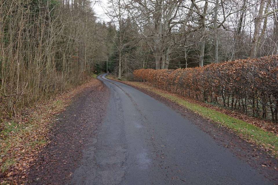 South Lanarkshire4 rides · 4 places
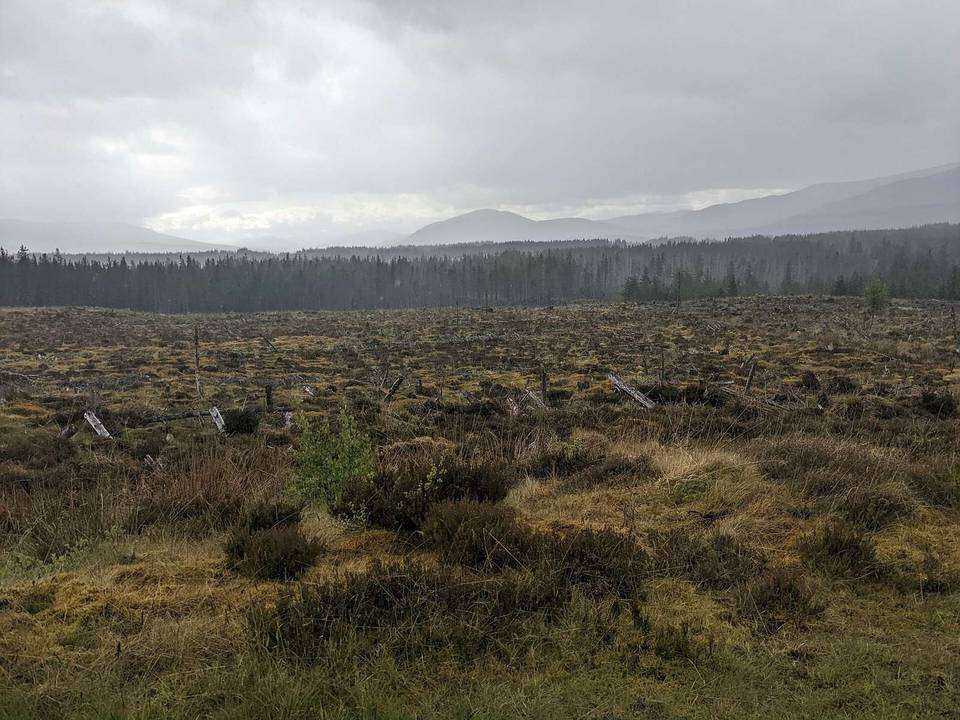 Stirling9 rides · 6 places
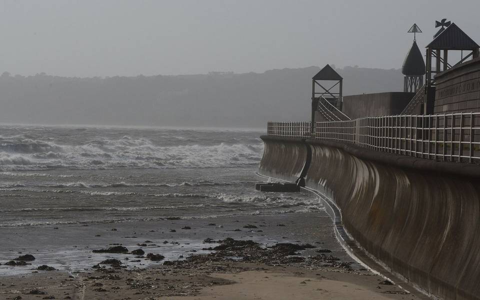 Swansea2 rides · 1 place
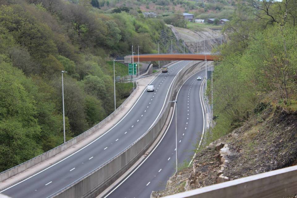 Torfaen1 ride · 1 place
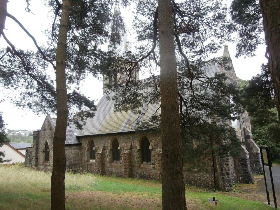 Vale of Glamorgan3 rides · 3 places
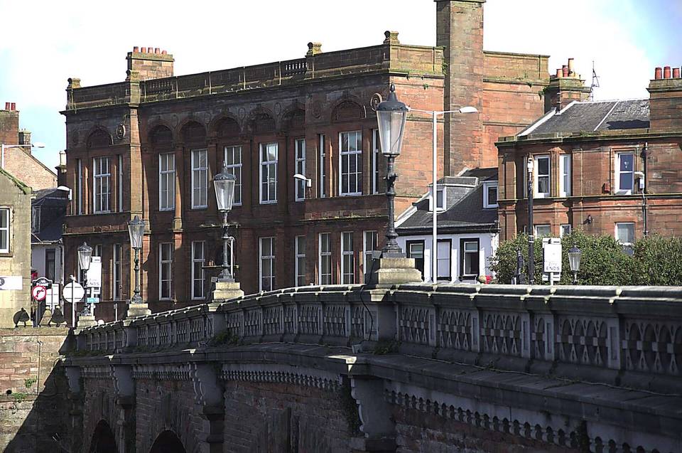 West Dunbartonshire3 rides · 3 places
 Western Isles5 rides · 5 places
 Wrexham1 ride · 1 place
 Elsewhere18 rides · 15 places
Cycling in the United Kingdom includes 37 routes across Scotland and England, covering a total of 1576 km. Scotland offers 12 routes with a combined 7367 m of climbing, while England features 7 routes with 3797 m of climbing. The routes range in length from 2 to 209 km, with a median length of 39 km. Regions with multiple routes include Melton Mowbray, Glasgow, Isle of Arran, Aberfoyle, Corston, and Hawes.
Road surfaces average 82% paved and 15% unpaved. There are 442.4 km of main roads without cycle lanes, and 414.2 km of roads have speed limits of 80 km/h or more. Cycle paths total 125.6 km. The country includes several significant climbs such as the Lochcarron climb (8 km, 606 m gain), Black Star (4 km, 462 m gain), and Great Dun Fell (5 km, 419 m gain), among others. Recorded riding activity spans April to September, with average daily high temperatures ranging from 7°C in winter months to 18°C in summer.
The riding terrain in Aberdeen City is mostly flat with 72% flat sections and moderate climbing at 17%, the steepest sustained gradient being 7.7% over 500 m. The single 50 km route involves approximately 392 m of climbing. The route surface is mixed with 52% paved and 47% unpaved sections. The road mix shows 62% cycle path, 15% track, minor and quiet roads each at 8%, and a small percentage on main roads and paths. The climbs are moderate rather than steep or mountainous.
The riding terrain in Aberdeenshire is predominantly rolling with some steep sections; 13.1 km of the routes exceed 5% gradient, with smaller segments falling above 8% and 10% gradients. Typical route lengths are moderate to long, with a median of 58 km. The mix of surfaces is about 52% paved and 47% unpaved. Infrastructure includes substantial cycle path km and mainly minor roads with some main roads lacking cycle lanes. The biggest climbs include the ascent to Montrose at 986 m and the Braemar to Nethy Bridge climb at 800 m elevation.
The riding terrain in Angus is mainly flat with some rolling sections, reflected in an average of 14% climbing and 71% flat terrain. The steepest recorded gradient over 500 m is 8.5%. Routes typically range from 38 km to 70 km in length. The road mix includes 42% minor roads, 25% cycle paths, and some main roads, with 89% of surfaces paved and small amounts unpaved. The most climbing is on the Arbroath to Stonehaven route, reaching 452 m in height.
The terrain is rolling with 19% of the distance climbing and 62% flat, including nearly 10 km above 5% gradient. Routes vary in length from 65 to 100 km, with the longest crossing from Dunoon to Lochgilphead. The rides mainly use main roads (70%) with some minor and major roads, little cycle path, and mostly paved surfaces. The steepest climb reaches a 12.8% gradient over 500 m.
The terrain is rolling with climbing on 52% of the 12 km route and flat sections accounting for 48%. Average gradients include small sections over 5%, 8%, and 10%, with the steepest 500 m at 10%. The cycling surface is predominantly paved (98%) with minimal unpaved or unknown surfaces. The route crosses a mixture of cycle paths, quiet streets, and minor and main roads, with the longest climb reaching 183 m elevation.
The riding terrain in Bridgend County Borough is predominantly flat with just 1% climbing and a nearly flat gradient over 53% of the route. The single route is 9 km long. The surface is paved for 98% of the distance. The biggest climbs are minimal with just a short stretch of 500 m reaching gradients up to 10.3%. Roads are mostly cycle paths (94%) with a small portion on quiet streets (6%).
The terrain is mostly flat with moderate climbs, the average route length is 65 km. Riding surfaces are mostly paved (82%) with some unpaved sections. The steepest sustained gradient recorded is 10.9% over 500 m. Routes use a mix of road types including 39% cycle paths, 32% minor roads and 10% quiet streets. The biggest climb is on the Caerphilly to Swansea route, which ascends 534 m to a height not specified.
The rides in Carmarthenshire encompass moderate rolling terrain with an average of 28% climbing and a majority 57% flat sections. Route lengths vary widely, with a median of 64 km and the longest reaching 115 km. Road surfaces are predominantly paved (95%) with a small proportion of unpaved and unknown surfaces. The largest climbs appear on the National Cycle Network Route section with up to 1423 m of elevation gain, featuring short steep gradients of up to 10.4% over 500 m. The network includes mainly minor roads and an extensive 33% cycle path share.
The terrain in the City of Edinburgh region is mostly flat to rolling with an average 65% flat and 18% climbing on routes. Maximum gradient over 500 m reaches 7.2%, with some short sections over 10%. Route lengths vary from 23 km to 105 km. Infrastructure consists largely of cycle paths (42%) and minor roads (27%). The longest climb is on the Edinburgh to St Andrews route with 833 m of ascent, reaching a maximum height of 833 m.
The riding terrain is mostly flat to gently rolling, as indicated by 76% flat and 14% climbing segments with minimal sections above 5% gradient. Routes vary from 9 km to 22 km, suitable for short rides with moderate effort. The road surfaces are predominantly paved (96%). The biggest climb is on National Cycle Route 764 reaching 118 m elevation gain. Roads are mostly cycle paths and minor roads with very limited sections on main roads and faster roads.
Riding in Conwy is mostly flat for 72% of the distance, with 13% climbing. The routes vary from a short 10 km ride with 14 m climbing to a longer 70 km loop with 1005 m ascent. Roads are mostly minor (53%) and main roads (30%) with some cycle paths (10%). The gradient includes 6.7 km above 5%, 2.7 km above 8%, and 1.8 km above 10%, with the steepest 500 m at 13%. Surfaces are nearly all paved (98%).
The terrain is rolling with average gradient distribution showing 33% flat and 36% climbing. Climbs have sustained sections above 5%, 8%, and 10% gradients. Routes range from 35 km to 59 km. The road surface is mostly paved (72%) with unpaved sections (28%). Major climbs include those with steepest 500 m at 13.2%, providing a varied ride. Road types mix minor and main roads with some tracks and paths.
The terrain is rolling with an average of 159 to 1378 m climbing per route, and 53% of the distance is flat with 25% climbing. Routes average 54 km, with one as long as 110 km. The road mix consists mainly of minor roads (48%) and main roads (26%), plus tracks and quiet streets. The surface is largely paved (84%) with some unpaved sections (16%). The steepest climb has a 12.6% gradient over 500 m.
The riding terrain in Dundee City is mostly flat, with 73% of the route considered flat and 15% climbing. Sections with gradient above 5% account for less than 1 km, with the steepest 500 m at a 9% gradient. The route length is consistent at 79 km. The route includes a mix of minor roads (47%), main roads (23%), cycle paths (16%), and quiet streets (8%). The climb of National Cycle Route 77 reaches 492 m.
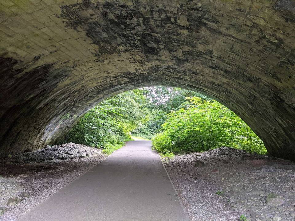
The riding terrain in East Dunbartonshire is predominantly flat with 72% of the routes flat and 17% climbing, mostly gentle with only 3.5 km above 5%. The steepest section is 7.8% over 500 m. Typical route length ranges from short (13 km) to long (101 km). Road surfaces are 68% paved and 32% unpaved with a significant presence of cycle paths (38%) and tracks (21%). The longest and most climbing-intensive route climbs to 969 m and heads from Bearsden to Killin.
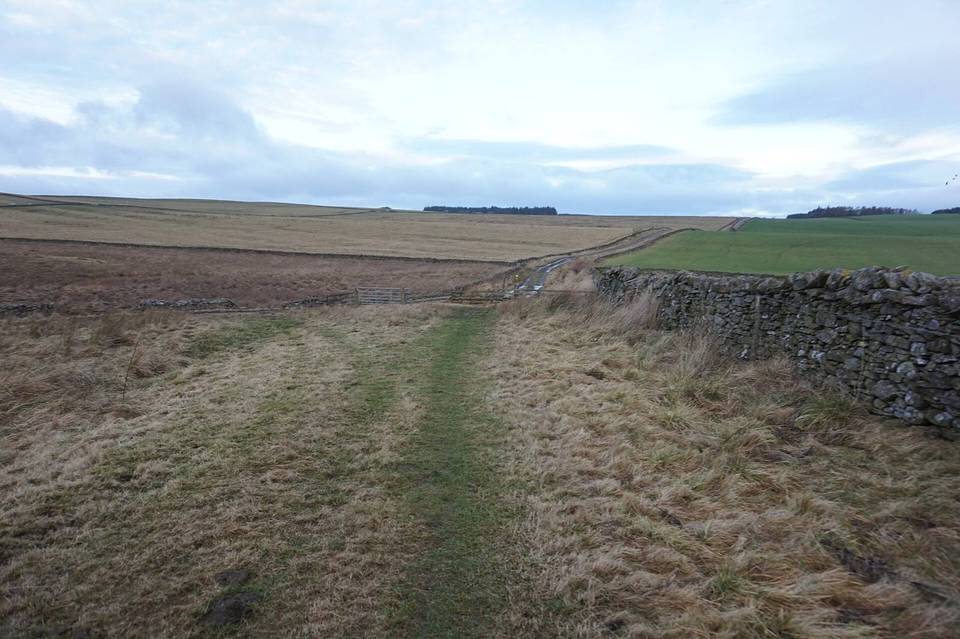
The region's cycling terrain is mainly flat with 69% flat sections, 14% climbing and some steep gradients including 1.5 km above 10% and a steepest 500 m section at 13.6%. Routes average from 42 km to 100 km, with climbing up to 949 m on the Musselburgh to Melrose ride. Road types vary with 12% main roads and 34.5 km of cycle paths. Surfaces are a mix of paved and unpaved, supporting road and gravel rides.
The riding terrain in East Renfrewshire is rolling with a mixture of flat and climbing sections. The 39 km route features 320 m of elevation gain, mainly on unpaved surfaces (75%) and track (75% of road class). About half the ride is flat, with some short steep gradients, including a 500 m section at 17%. The route is a single loop starting and finishing in Newton Mearns, crossing minor and quiet roads as well as paths. Gravel surfaces predominate over paved ones (23%).
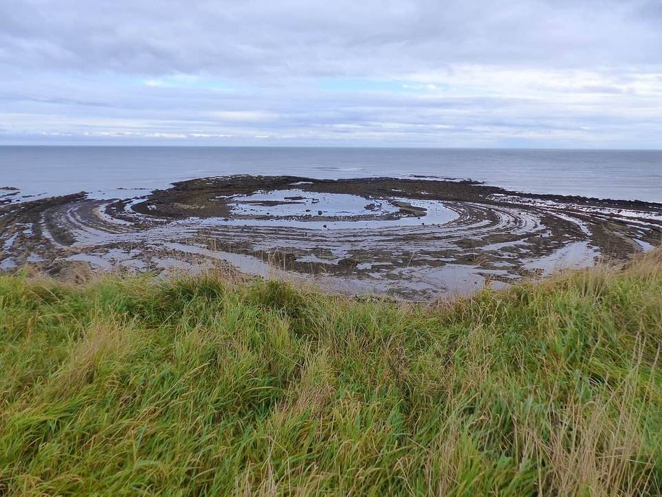
The riding terrain is mostly rolling, as 68% of the distance is flat and 16% involves climbing. Steep gradients are limited, with 8 km above 5% gradient, under 2 km above 8%, and less than 1 km above 10%. Typical route length is around 56 km, with a maximum of 209 km. Roads are mainly minor roads (45%) and main roads (21%), with a small share of cycle paths (8%). The longest and most climbing-intensive route is Berwick-Upon-Tweed to Troon, covering 209 km and 1483 m of climbing.
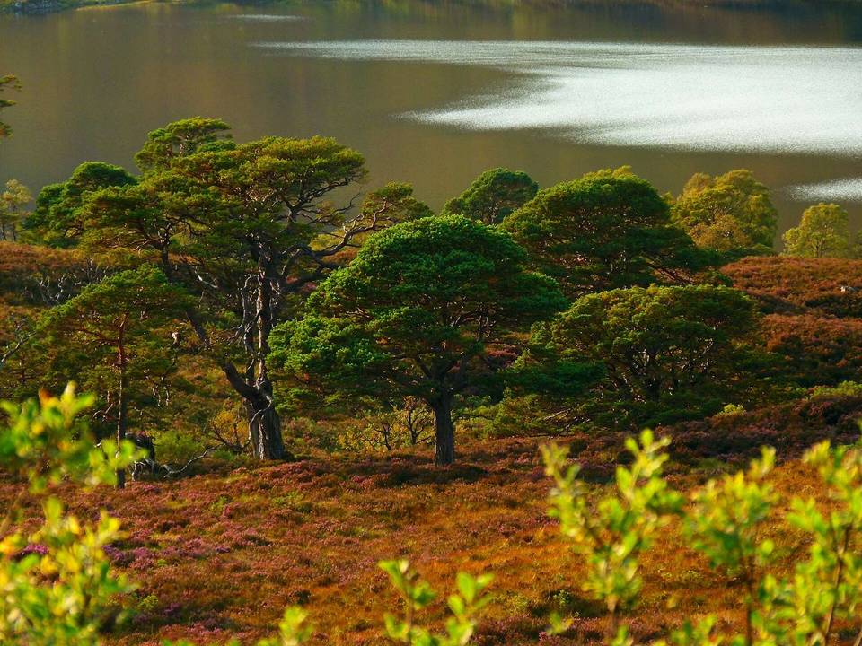
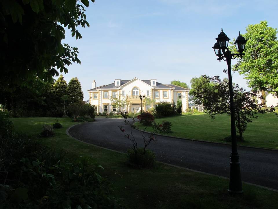
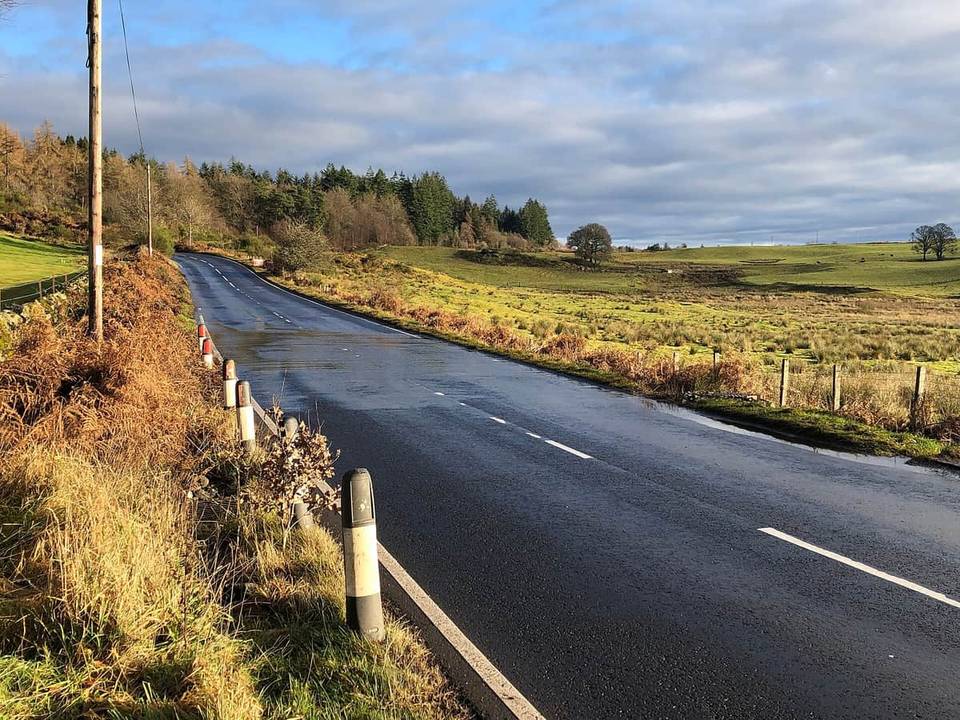
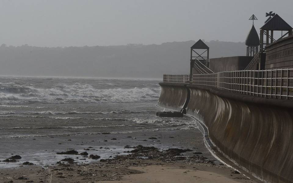
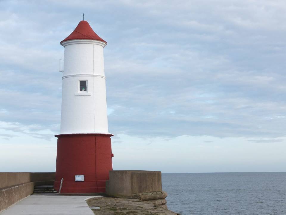 Photo: Barbara Carr · CC BY-SA 2.0 · Wikimedia Commons
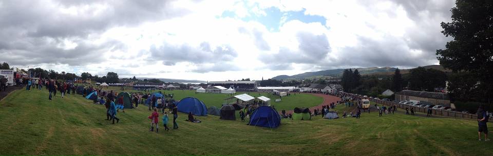
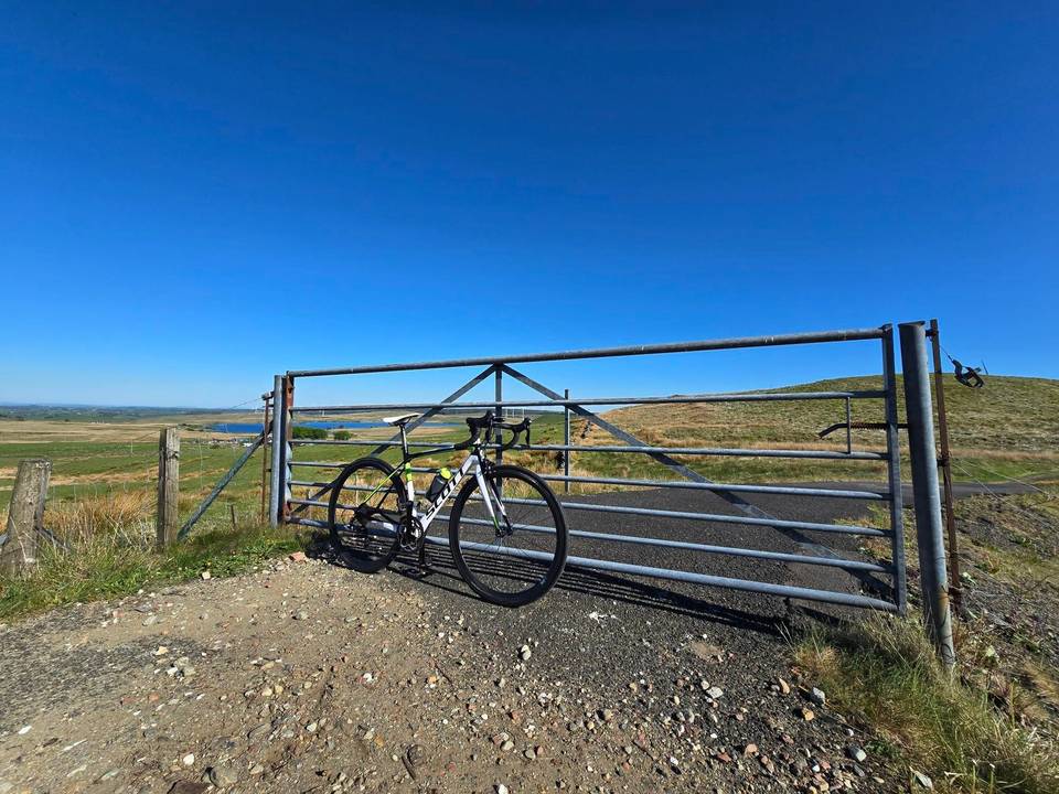
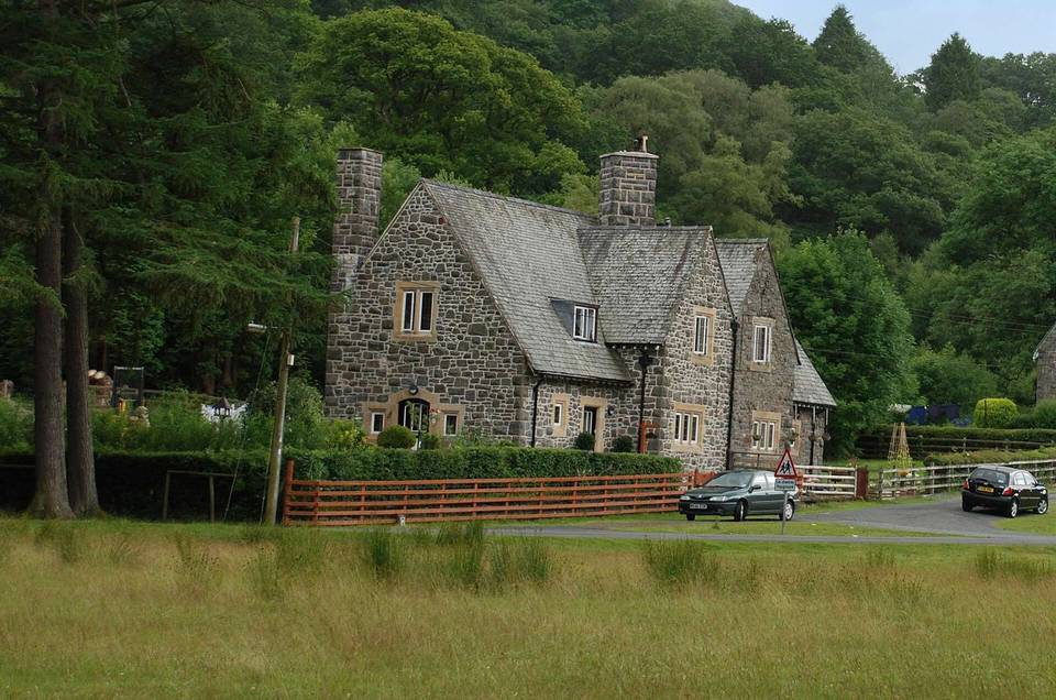
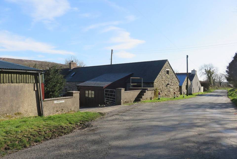
 Photo: Roger A Smith · CC BY-SA 2.0 · Wikimedia Commons
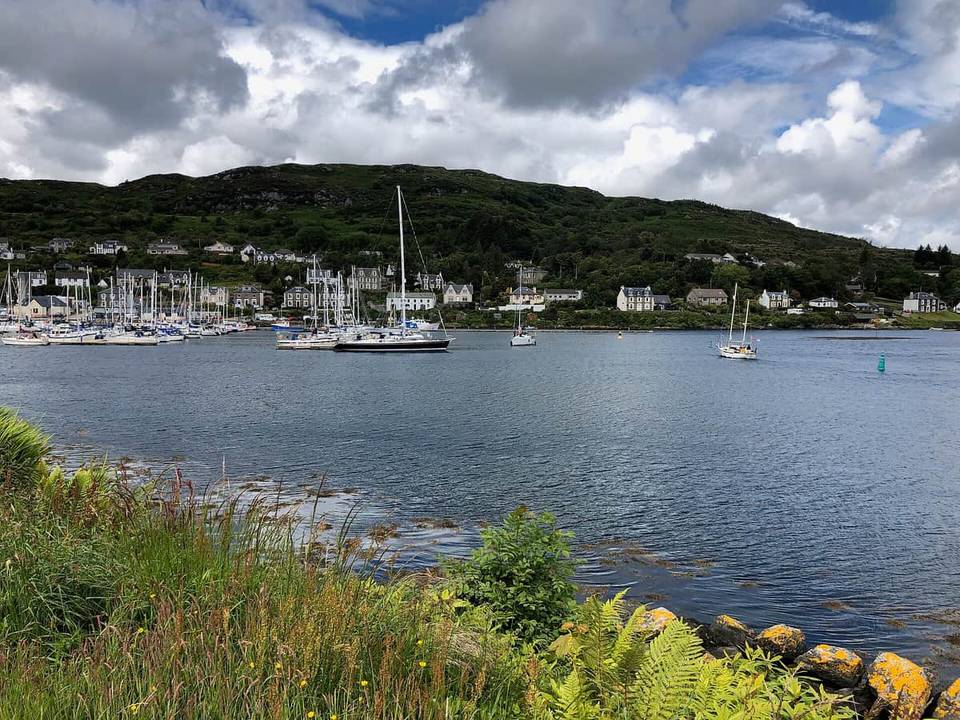
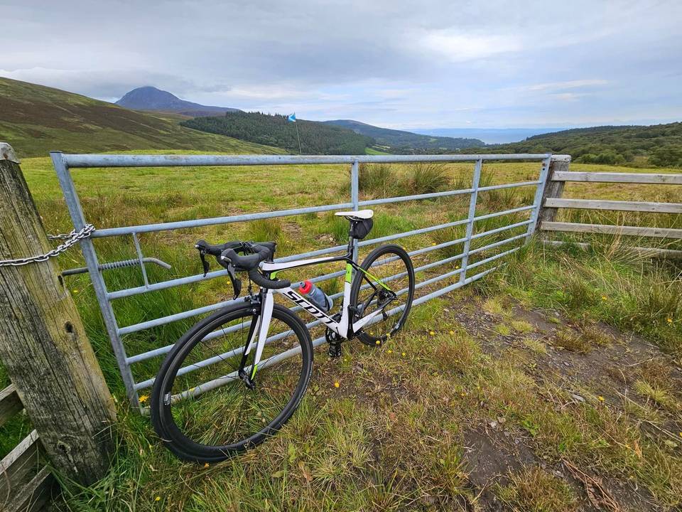
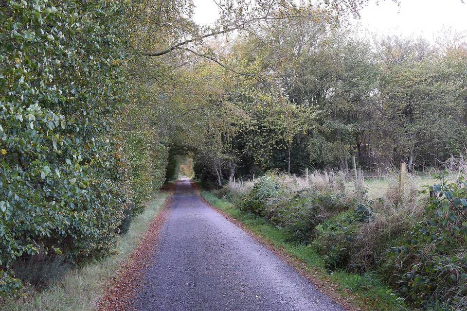
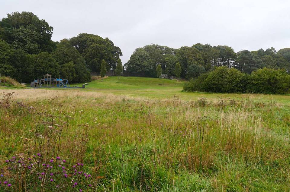
 Photo: Lewis Clarke · CC BY-SA 2.0 · Wikimedia Commons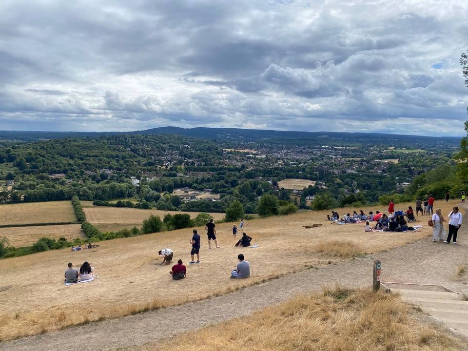
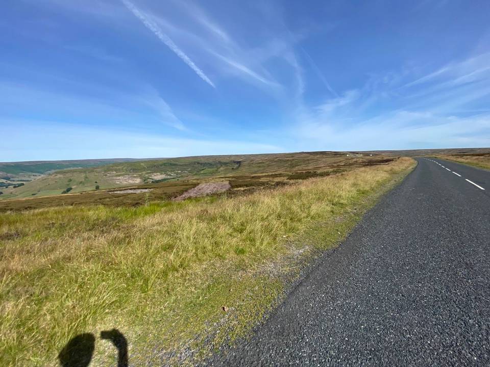
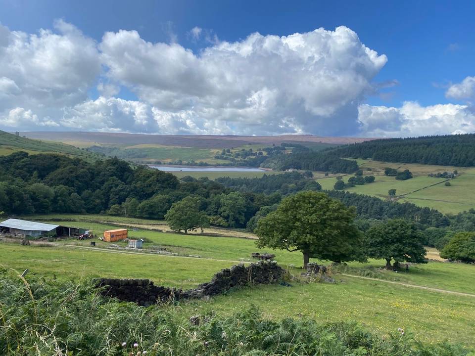
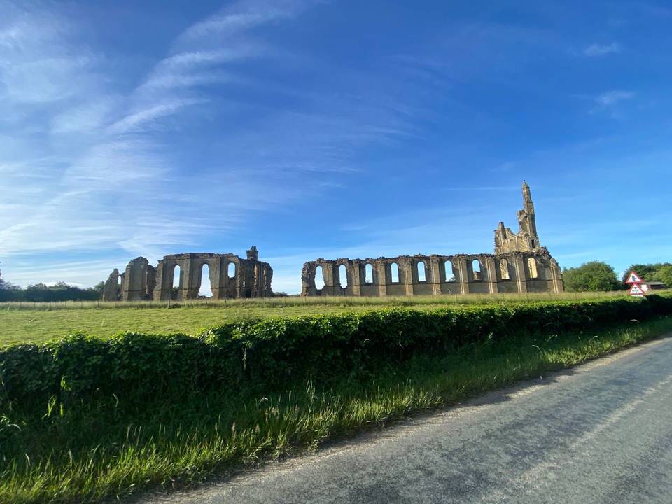
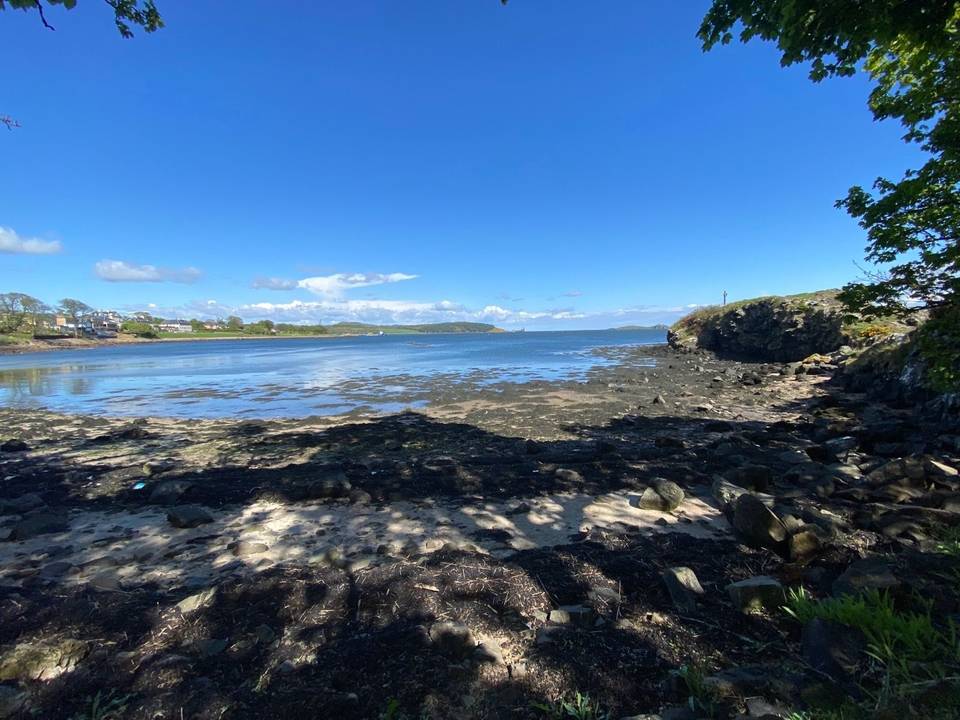
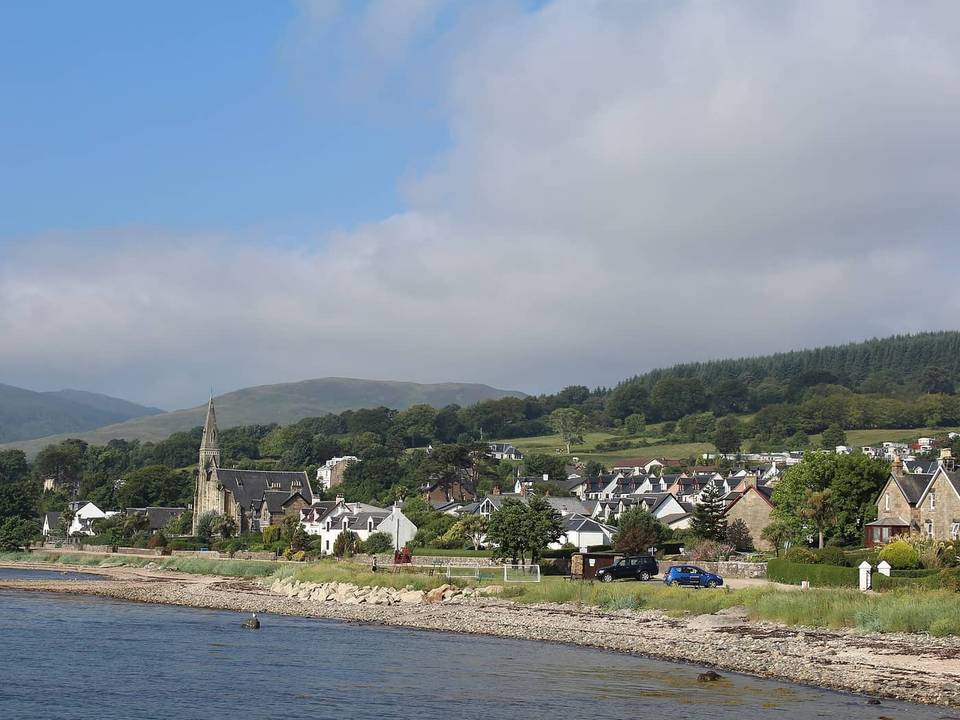
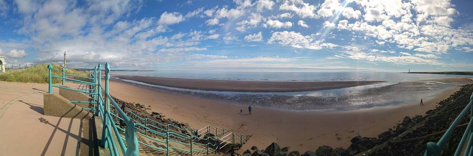
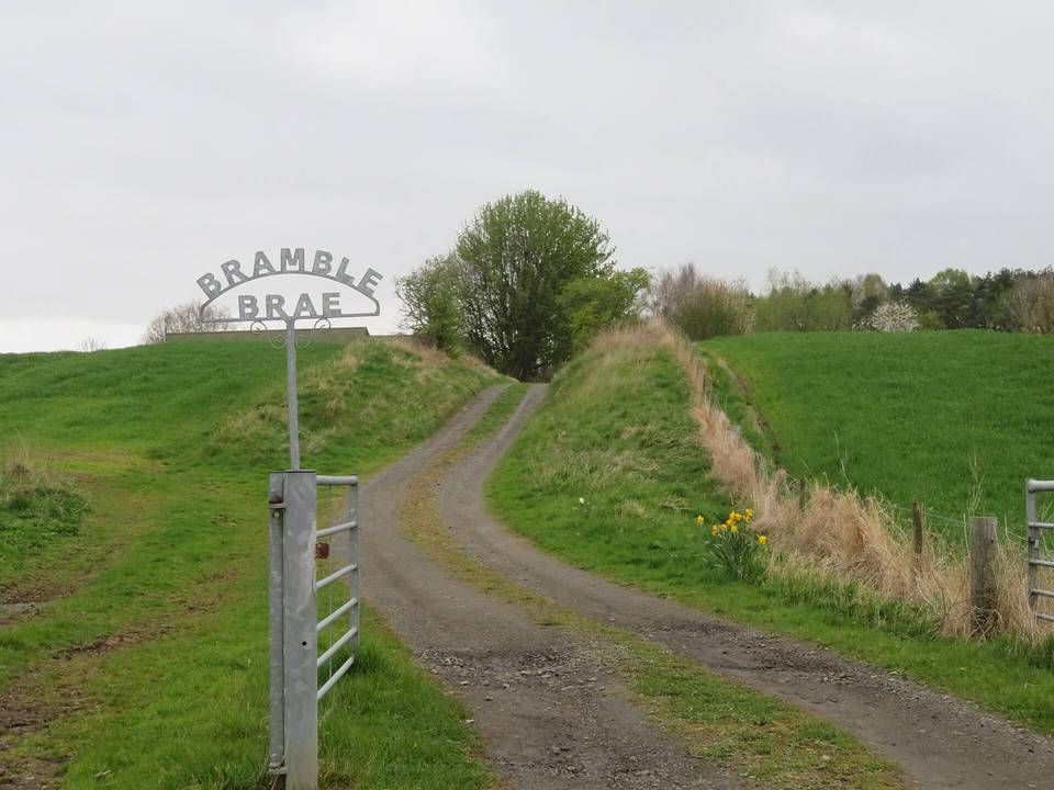
 Photo: It's No Game · CC BY 2.0 · Wikimedia Commons
The terrain is predominantly flat with some moderate climbs, reflected by 13% climbing and very little steep gradient above 5%. Routes range from 25 km to 106 km, with most climbing on the longest route. Road surfaces are mostly paved with a significant share of cycle paths and paths, making for mixed riding on a variety of surfaces. The largest climbs include the Bo'ness to Helensburgh route's 618 m of ascent, but overall gradient is low, and sustained steep sections are minimal.
Routes in Fife consist mainly of rolling terrain with 66% of the distance being flat and 20% climbing. The steepest sections do not exceed a 5.1% gradient over 500 m. Typical route lengths are medium to long, around 76 km median. The road composition includes many minor roads and 24% cycle paths. The biggest climbs are found on the Dalgety Bay to Newport-on-Tay route with 700 m climbing and Newport-on-Tay to Dalgety Bay with 569 m climbing.
The riding in Glasgow City is on rolling terrain with 19% climbing and 64% flat sections. Routes range from 43 km to 107 km, with combined climbs up to 624 m. Roads include 30% main roads, 29% cycle paths, and 22% minor roads. Surfaces are mostly paved (92%). The steepest section is 6% gradient over 500 m. All routes are loops, suitable for road cycling.
The riding in Gwynedd is characterised by mainly minor roads and cycle paths over routes of 14 to 114 km, averaging 30 km. Terrain is rolling with 52% flat and 23% climbing. Gradients include 30.7 km above 5%, 14.2 km above 8%, and 5.7 km above 10%. The steepest 500 m reach 20.7%. The longest route is Lôn Las Cymru (North) at 114 km. Climbs include routes from Llanddwywe to Rhayader (1400 m) and Llanaber to Rhayader (1373 m). Surfaces are 92% paved with some unpaved sections.
The rides are road-based with substantial climbing, featuring significant elevation changes over relatively short distances. Route lengths vary from 14 km to 29 km, with climbing between 616 m and 748 m. Both routes are point-to-point, with the biggest climbs including Applecross and Bealach na Bà, the latter accessed from Tornapress. The terrain is challenging with steep gradients implied by high climbing over short distances.
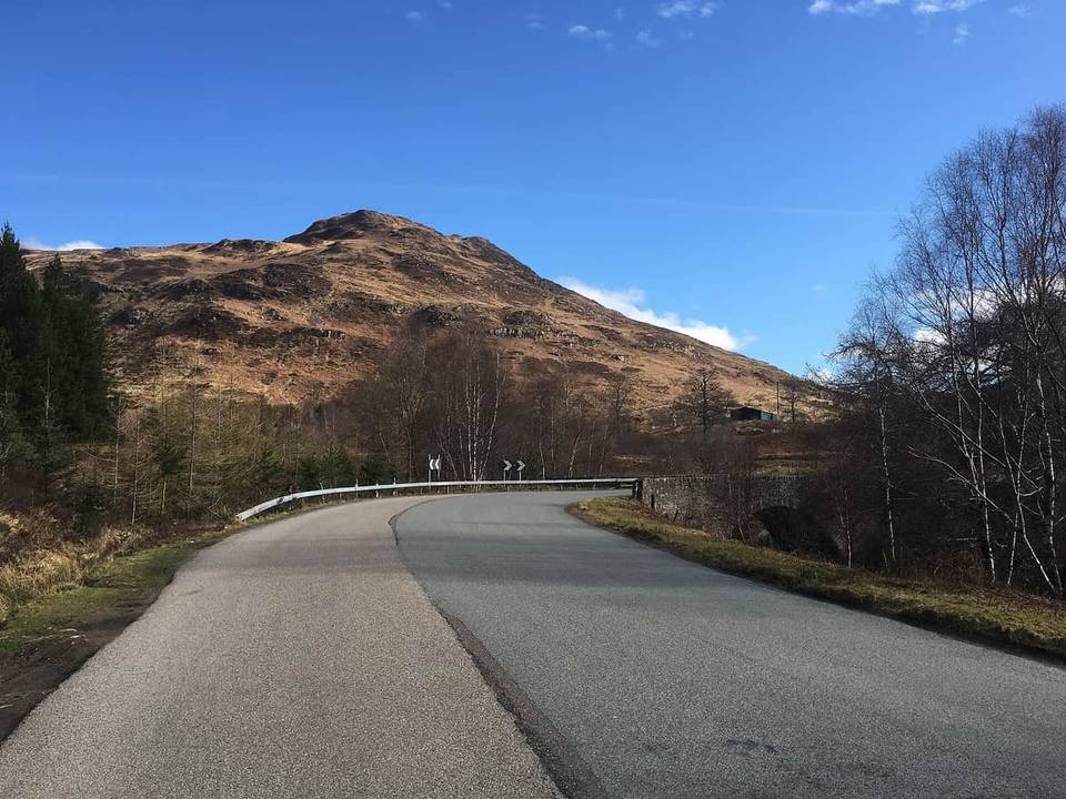 Photo: Steven Brown · CC BY-SA 2.0 · Wikimedia Commons
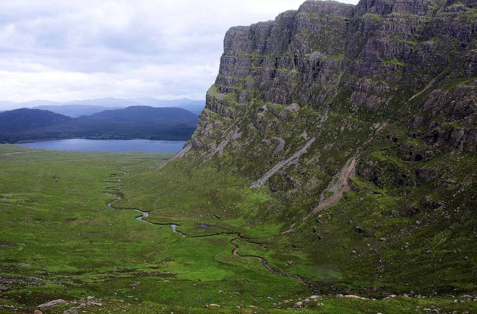 Photo: brian gillman · CC BY 3.0 · Wikimedia Commons
The terrain in Inverclyde is mostly flat, with an average of 84% of the distance being flat and only 8% climbing. No sections exceed 5% gradient, with the steepest 500 m reaching 4.5%. The route length is 51 km, mostly following cycle paths (75%) and quiet streets (13%), with paved surfaces predominating (97%). The biggest climb is the overall elevation gain of 168 m on the road route from Gourock to Glasgow.
Riding on the Isle of Anglesey is mainly on rolling terrain with predominantly flat sections and moderate climbs, including the 618 m rise on the longest route. Typical distances cluster around 28 km, but range from short rides of 3 km to long endurance routes of 104 km. The road mix features predominantly minor roads (57%) and cycle paths (24%), with occasional main roads. Most surfaces encountered are paved (89%). The steepest climb observed is a 7.4% gradient sustained over 500 m, with the longest climbs concentrated on National Cycle Network Route 5.
The terrain in Merthyr Tydfil is mostly flat, with 71% of cycling on flat ground and 19% climbing over the route lengths. Routes are short at 10 km. Roads include 71% cycle paths, 15% quiet streets, and small shares of minor roads and roads with cycle lanes. Surfaces are mostly paved (95%). The steepest section is 500 m at 9.5% gradient. The main climb is on the Trevithick Trail with 68 m of climbing.
The terrain in Midlothian is predominantly flat to gently rolling, with 67% of the distance flat and 9% climbing. Routes are medium in length at 37 to 39 km, with maximum climbs reaching 164 m on National Cycle Route 196. The road mix includes 51% cycle paths, 29% minor roads, and 10% quiet streets, with paved surfaces making up 82% of the routes. The steepest 500 m segment has a gradient of 15.7%.
The riding is mainly on minor roads (75%) with some cycle paths (9%) and main roads (7%). Routes have a moderate amount of climbing, with up to 837 m on the longest route over 92 km. Average surfaces are 95% paved. Nearly half the routes are flat sections, a quarter is climbing, and steepest gradients can reach 13.6% over 500 m. Typical route length is 47 km. No major roads are included, but 45.6 km of roads have speed limits of 80 km/h or more.
The riding is mostly flat to rolling, with 75% of the route distance flat and 12% climbing, including short steep sections with gradients up to 23.8%. Average climbing per route varies between 80 m and 775 m. Routes range in length from 38 km to 106 km, with the longest route covering 106 km. Road class is mostly minor roads (58%) with 12% on main roads and 11% on cycle paths. Surfaces are predominantly paved (83%) with 14% unpaved segments. The biggest climb is on the Elgin to Carrbridge route, reaching 775 m of ascent. The routes have a relatively low share of very steep gradients, with less than 1 km above 10%.
The terrain is mainly flat with 63% of the distance flat and only 2% climbing. The steepest section is 11.3% over 500 m. Routes range from 16 to 23 km, averaging total climbs between 15 and 27 m. Surface quality is mostly paved (89%) with some unpaved (10%) and minor unknown surfaces. The infrastructure consists largely of cycle paths and quiet streets, with very little main road.
Routes in Newport are mainly flat with 84% of distance flat and moderate climbing totaling 134 m on the 32 km route. The riding surface is diverse with 42% paved, 56% unpaved, and a small amount unknown. The road mix includes 50% path, 48% cycle path, and 2% quiet street. The steepest section in 500 m is 3%.
The terrain features a mixture of flat and climbing sections, with an average of 56% flat and 22% climbing over routes between 60 and 90 km. Gradient analysis shows 9.8 km above 5%, 0.6 km above 8%, and 0.4 km above 10%, with the steepest 500 m block at 10.3%. The surfaces are nearly entirely paved (99%). The notable climbs include the route around Isle of Arran reaching 827 m and the climbs on the routes from Lamlash and Brodick.
The terrain on Orkney Islands is mostly flat to rolling with 66% of the distance flat and 16% climbing. The single route is 88 km long with 607 m of climbing, the steepest segment being 5.3% over 500 m. Roads are primarily main roads (62%) and minor roads (32%), with a very small amount of cycle path (0.2 km). The surface is 99% paved with minimal unpaved sections. There are no climbs steeper than 10%.
The riding is characterised by rolling terrain with average gradients and 25% climbing over typical route lengths of around 80 km. Roads are mostly minor with substantial cycle path sections (17%) and very little steep climbing, only 0.4 km above 8%. Surfaces are predominantly paved (98%) and the highest climbs include gradients up to 8.1% over 500 m. The largest climbs are found on the route from Pembroke Dock north into Carmarthen, crossing into another region.
The terrain is rolling with 21% of the route distance climbing and an average gradient partly flat (58%) and partly climbing. The longest ride is 113 km with climbs reaching 873 m. Cycling surfaces are mostly paved (82%) with some unpaved parts (17%). Most of the routes use minor and main roads, with some sections on tracks, quiet streets, and cycle paths. Steep gradients are rare, with only 1 km above 8% and 0.9 km above 10%.
Rides in Powys cover mainly rolling terrain with around half the distance flat and 22% climbing. Steep sections exist, with 26.9 km above 5% gradient, including 3.5 km above 10% and a steepest 500 m at 21.9%. Routes range from 30 to 106 km, typically around 65 km. Road surfaces are mostly paved (81%) with 19% unpaved. Infrastructure includes 19% cycle path and 52% minor road with small shares on main roads, tracks and quiet streets. Major climbs include the Elan Village to Eglwys Fach route, reaching nearly 1914 m elevation.
The terrain in Renfrewshire is mostly flat with gentle rolling sections. The typical route length is 75 km, with climbing of 178 m concentrated in mild gradients; only 0.1 km exceed 5% gradient and none exceed 8%. Riding is mainly on cycle paths (60%) and minor roads (21%), with paved surfaces covering 96% of the route. The longest climb is on the route from Paisley to Alloway, with the steepest sustained gradient of 3.6% over 500 m.
The terrain in Rhondda Cynon Taf varies from flat to moderately hilly, with up to 551 m climbing on the longest route, Skyline. Average route lengths are between 14 km and 37 km, with a median of 17 km. Most roads are cycle paths (60%) and tracks (24%), with minor roads making up 3%. The longest gradient at 7.5% over 500 m indicates some sustained inclines. Surface is mainly paved (66%) with substantial unpaved areas (34%).
Routes in the Scottish Borders are mostly rolling with an average of 26% climbing and half of the terrain flat. Typical route length is 26 km amid a range of 8 to 110 km. Road surfaces are predominantly paved (92%) with minor amounts of unpaved tracks (7%). The road network includes a majority of minor and main roads, with some routes also on tracks and cycle paths. The region's most demanding climbs include the Newcastleton to Peebles route with 1482 m ascent and Melrose to Peebles with 1325 m, reflecting substantial elevation gain in some rides. The steepest gradients recorded reach 13.4% over 500 metres.
The terrain in Shetland is moderately hilly with total climbing per route ranging from 200 m to 813 m. Typical route length is 20–66 km, with a median around 30 km. Routes run mainly on paved surfaces, mainly main roads (82%), with minor roads (15%) and quiet streets (3%) also included. There are minimal cycle paths. The steepest sustained gradient is 7.1% over 500 m, with just 0.1 km exceeding 10% gradient. The longest and highest climb is from Lerwick to Ulsta, reaching 813 m elevation gain.
The riding in South Ayrshire is characterized by rolling terrain with moderate to steep gradients on some sections. Typical routes range from short laps of 11 km to longer rides of up to 90 km. Most riding occurs on minor roads, making up 73% of the distance, supplemented by main roads and small percentages of cycle paths and tracks. Surfaces are almost entirely paved. The biggest climb is on the Ayr to Wigtown route with 948 m of climbing, including gradients exceeding 10% over short distances.
Riding is mainly on rolling terrain with moderate climbing spread over the routes. Typical route lengths vary but median length is 44 km. Road surfaces are mostly paved with 97% paved and very little unpaved or unknown surface. The largest climbs appear on the Tweed Cycleway with 762 m climbing and the steepest 500 m segment at 14.6% gradient. The cycling routes are composed of 45% minor roads, 23% main roads, and 18% cycle paths, offering a diverse road mix.
The riding in Stirling is characterised by gravel loop routes with lengths of 50-67 km. The terrain is rolling with significant climbing, some on gradients over 8% and a small section over 10%. Route surfaces are predominantly unpaved (83%) with 17% paved. The biggest climbs reach up to 883 m elevation gain, and steepest grades recorded reach 9.3% over 500 m. Road usage includes mostly tracks (82%) with minor amounts of main road, quiet street, and minor road.
The riding is largely rolling with a dominance of flat terrain (78%) and some climbing (14%), but very little steep gradient above 5%. Typical route length is between 57 and 85 km, with climbing up to 520 m. The surface is mostly paved (87%) with occasional unpaved parts. The biggest climbs reach up to 5.7% gradient over 500 m, offering moderate challenges on road surfaces that include cycle paths, minor and main roads.
The cycling terrain in Torfaen is gently undulating, with 44% of the route flat and 46% climbing but very limited steep gradients over 5%. Typical route length is 25 km, consisting almost entirely of cycle paths (96%), with minor proportions of quiet streets and paths. The surface is mainly paved (94%), with small unpaved sections. The highest climb gains 356 m, and the steepest section has a maximum gradient of 4.8% over 500 m.
The terrain is mostly flat with some rolling climbs, with 58% of the route length flat and 21% climbing. The longest route is 112 km with the most climbing at 874 m on Lôn Las Cymru (South). Roads are mostly minor roads (51%) and cycle paths (20%), with a paved surface covering 92% of the routes. Steep gradients above 10% occur only on 0.2 km of the routes, with the steepest sustained 500 m climb at 7.5%.
The riding in West Dunbartonshire is mostly flat, with 94% of the terrain classified as flat and modest climbing making up 3%. The steepest 500 m section has an average gradient of 4.9%. Routes vary from 26 km to 110 km, with the longest involving 203 m of climbing. The road surface is predominantly paved (96%) and the route types are exclusively road. The biggest climbs are found on the Bonhill to Ayr route.
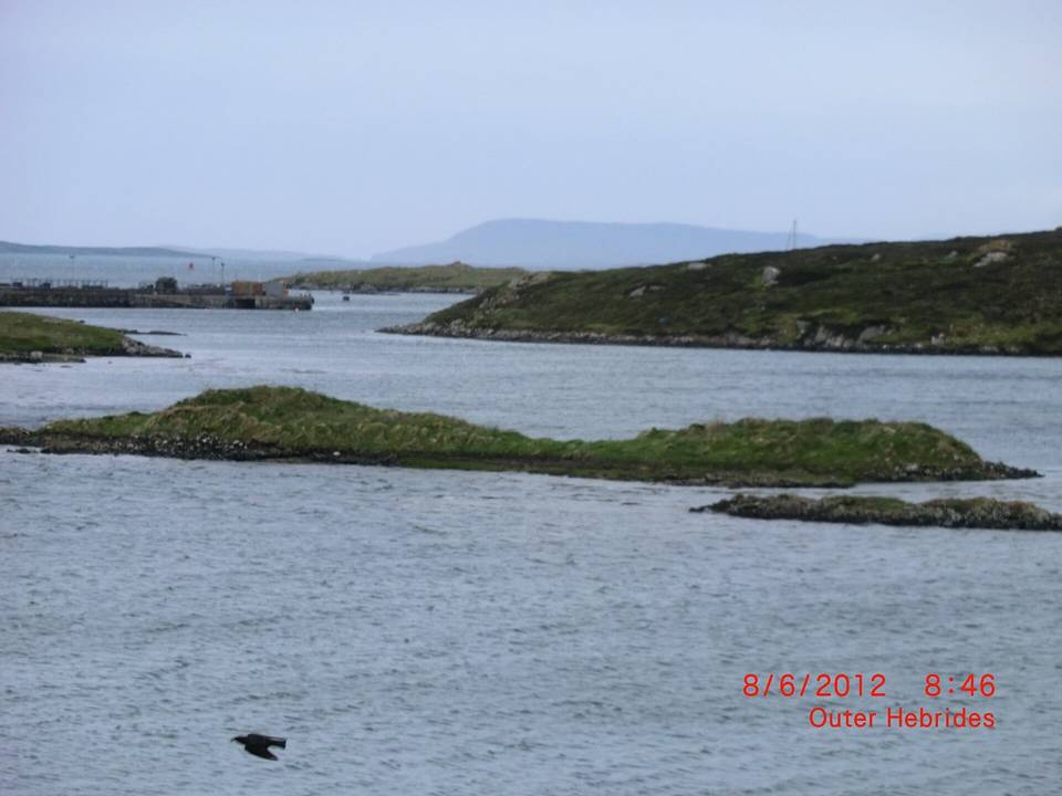
Terrain in the Western Isles is mostly flat to gently rolling, with limited steep sections. Routes typically run between 20 km and 84 km, with a median length of 72 km. Road surfaces are primarily paved, averaging 94%, with minimal unpaved sections. The biggest climbs on the routes include the 557 m ascent from Balallan to Strond and the 500 m elevation gain between Eoropie and Balallan. Most cycling occurs on main roads, with a minor share on secondary roads and quiet streets.
The region features a rolling terrain with 754 m climbing over a 48 km distance. The single route is a road ride with no cycle paths indicated. The notable climb is the Ceirog Cycle Route, which includes steady elevation gain for a moderate climbing challenge. The roads are entirely on-road surfaces over a loop route starting at Chirk.
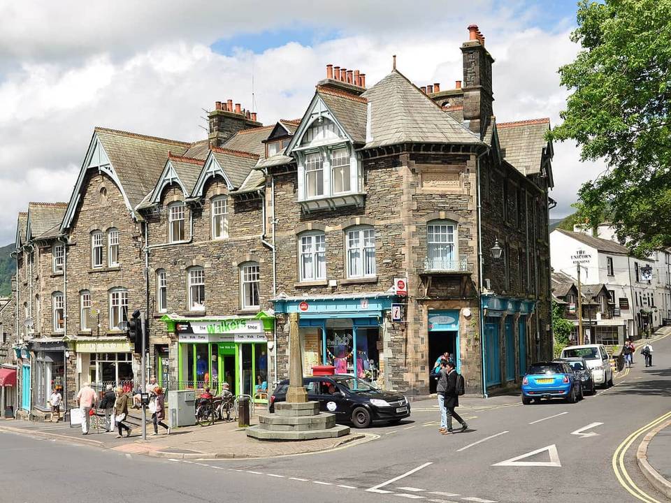 Photo: Nilfanion · CC BY-SA 4.0 · Wikimedia Commons
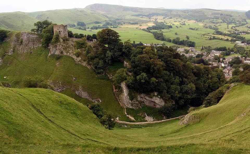 Photo: Steven Newton · CC BY 2.0 · Wikimedia Commons
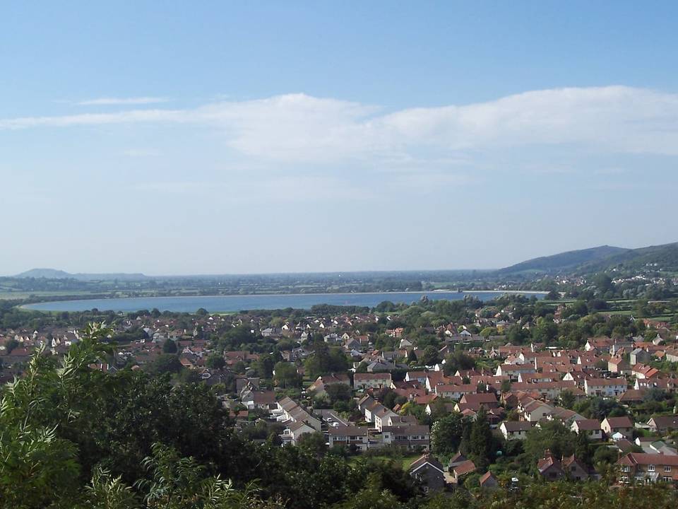 Photo: Troxx · CC BY 2.5 · Wikimedia Commons
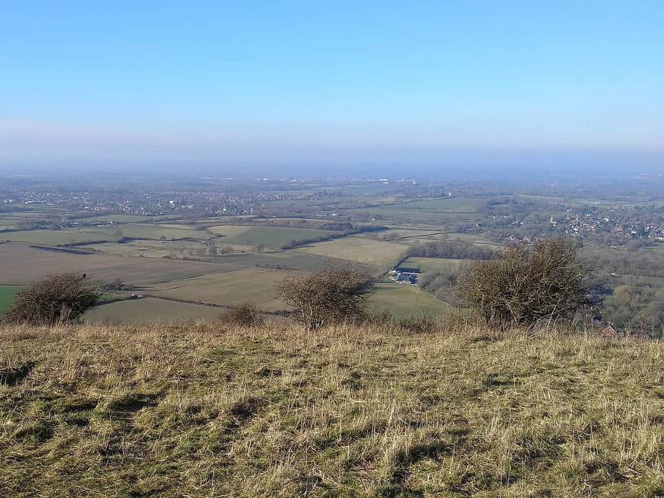 Photo: WFan · CC BY-SA 4.0 · Wikimedia Commons
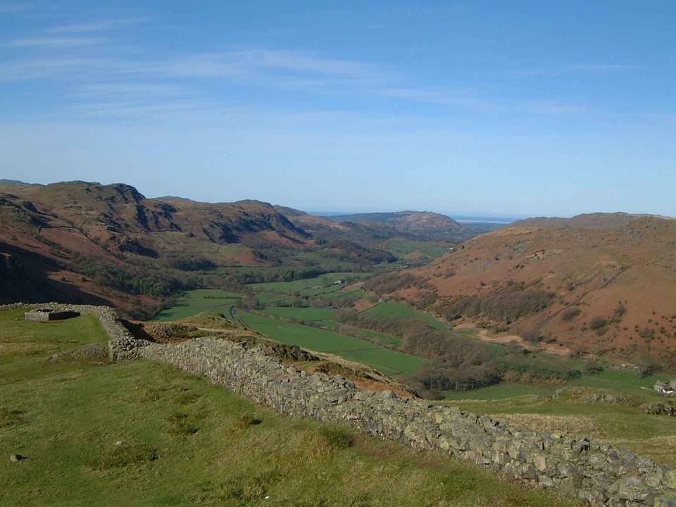 Photo: The original uploader was Mick Knapton at English Wikipedia. · CC BY-SA 3.0 · Wikimedia Commons
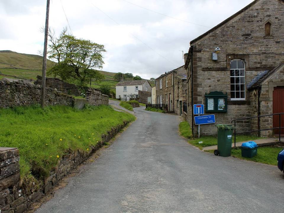 Photo: Chris Heaton · CC BY-SA 2.0 · Wikimedia Commons
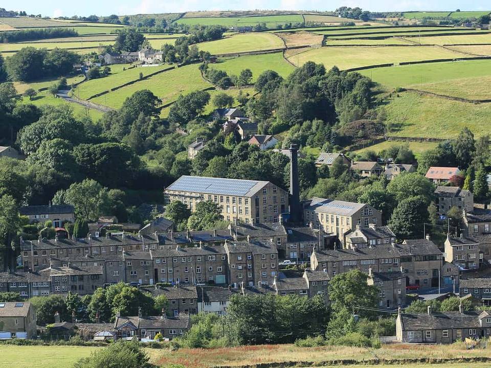 Photo: Tom Presland · CC BY-SA 2.0 · Wikimedia Commons
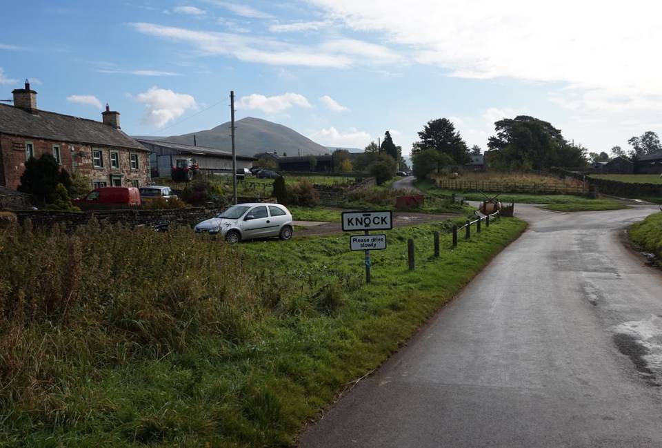 Photo: Ian S · CC BY-SA 2.0 · Wikimedia Commons
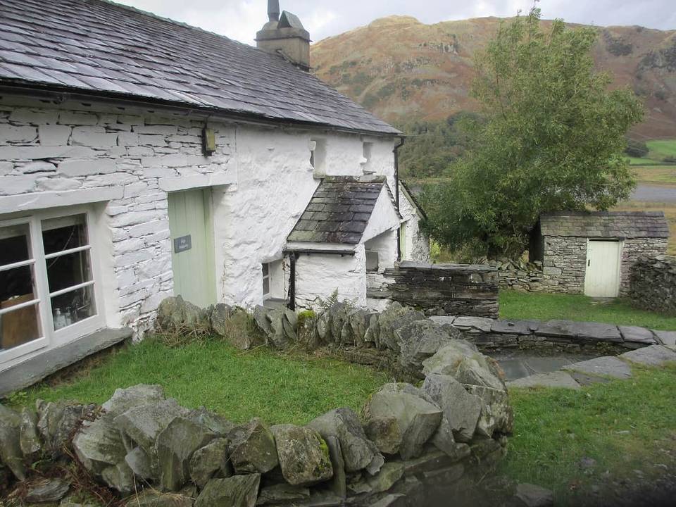 Photo: Peter Holmes · CC BY-SA 2.0 · Wikimedia Commons
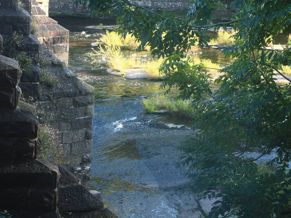 Photo: WelshDave · CC BY-SA 4.0 · Wikimedia Commons
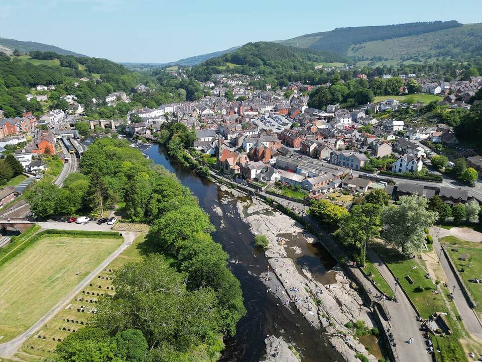 Photo: Llywelyn2000 · CC BY-SA 4.0 · Wikimedia Commons
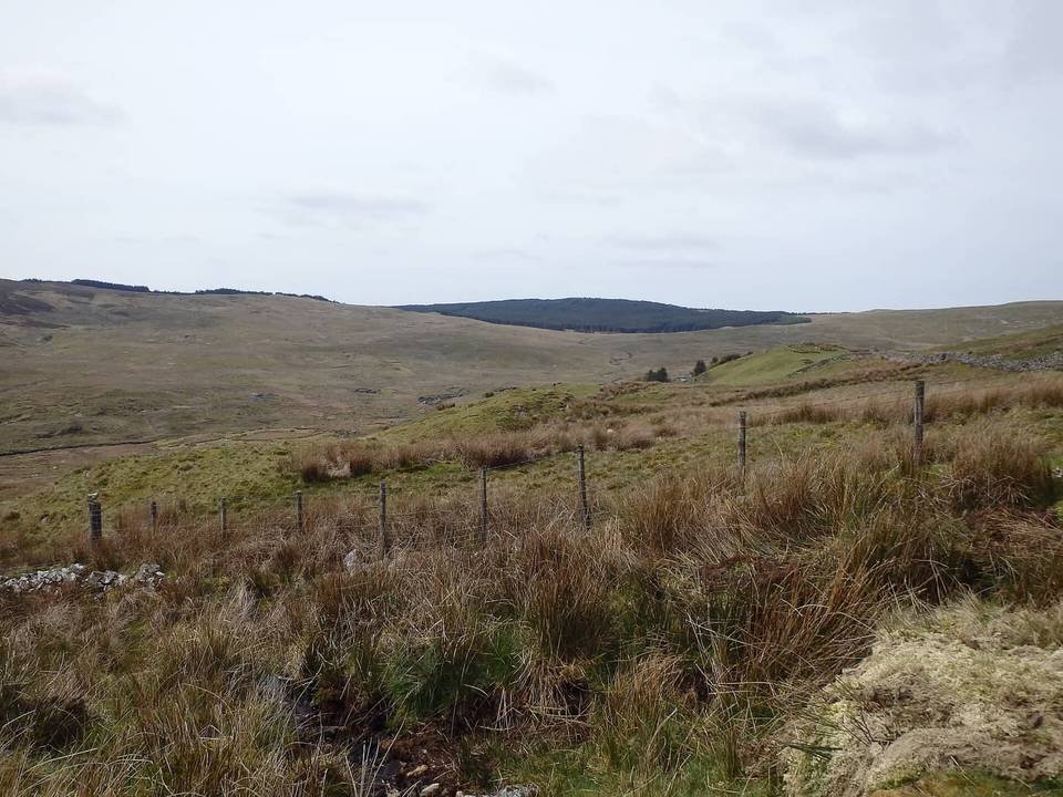 Photo: Michael Graham · CC BY-SA 2.0 · Wikimedia Commons
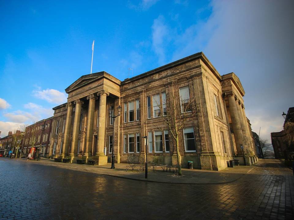 Photo: Smith & Brown · CC BY 2.0 · Wikimedia Commons
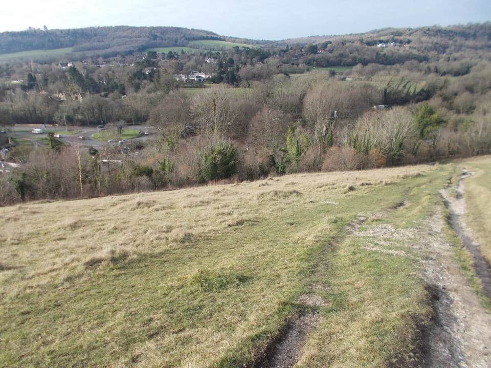 Photo: Peter S · CC BY-SA 2.0 · Wikimedia Commons
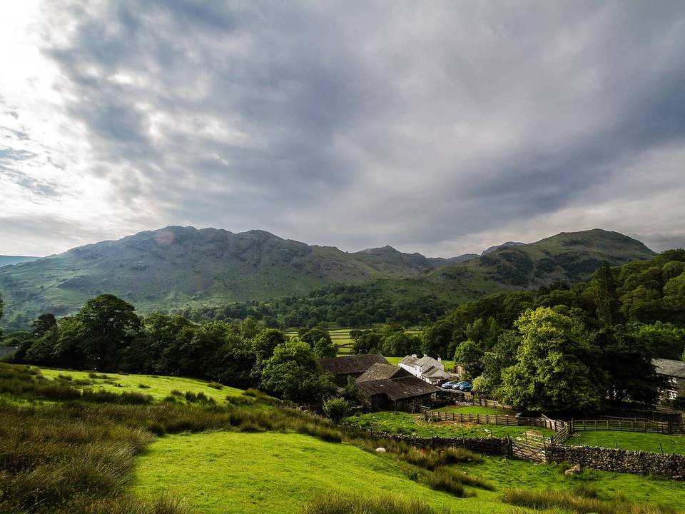 Photo: Graham Richter · CC BY-SA 3.0 · Wikimedia Commons