
Road · United Kingdom
Cycling in Torfaen offers a single 25 km route with moderate climbing mainly on cycle paths.
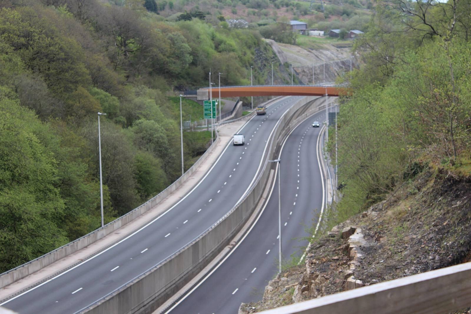
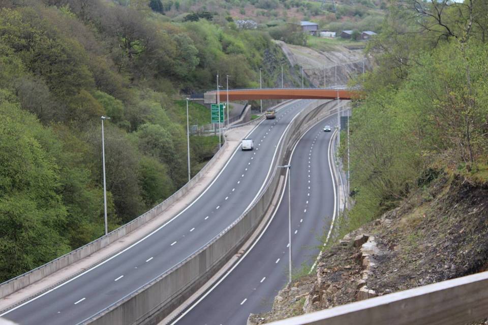
Torfaen features one cycling route, National Cycle Route 492, starting from Cwmbrân. This 25 km point-to-point route offers 356 m of climbing, making it suitable for road cycling. The terrain includes mainly cycle paths combined with quiet streets and small sections of paths, with an emphasis on paved surfaces.
The route presents moderate gradients with some short steep sections reaching up to 4.8% over 500 m, but very little terrain above 5% gradient overall. The route's highest climbs do not exceed 356 m, and roads with high speed limits are absent. The best months for riding are from June to September, with average daily highs between 19°C and 21°C during this period.
The cycling terrain in Torfaen is gently undulating, with 44% of the route flat and 46% climbing but very limited steep gradients over 5%. Typical route length is 25 km, consisting almost entirely of cycle paths (96%), with minor proportions of quiet streets and paths. The surface is mainly paved (94%), with small unpaved sections. The highest climb gains 356 m, and the steepest section has a maximum gradient of 4.8% over 500 m.
The route comprises 23.6 km of cycle paths, 0.2 km on main roads without cycle lanes, and minor sections on quiet streets and paths.
The best months for riding are from June to September with daily high temperatures ranging from 19°C to 21°C, providing favourable conditions.
Best months: Jun to Sep.