Road · United Kingdom
Routes from seven start towns on Isle of Anglesey; mostly minor roads with some climbing on long routes like National Cycle Network Route 5.
The Isle of Anglesey offers 8 routes starting from seven towns including Holyhead, Hen Bentref Llandegfan, and Newborough. Most routes are road rides with one mixed surface option, covering distances from 3 to 104 km. The longest route is National Cycle Network Route 5, which stretches 104 km with 618 m of climbing. Routes typically include segments on minor roads and cycle paths, with some sections on main roads and quiet streets.
Climbing varies across routes, with the steepest gradients reaching 7.4% over 500 m. The average route includes 12% climbing and 78% flat segments. The route from Holyhead to Caernarfon and Trywydd Copr offer notable elevation gains. Surface quality is mostly paved at 89%, with small portions of unpaved and unknown surfaces. The cycle paths total 77.2 km, providing alternative routes off the roads.
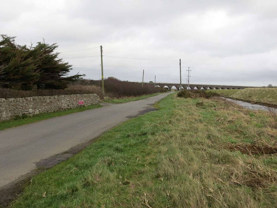
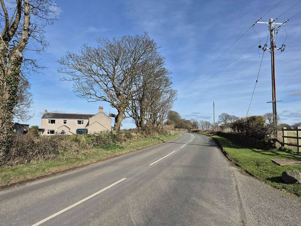
Riding on the Isle of Anglesey is mainly on rolling terrain with predominantly flat sections and moderate climbs, including the 618 m rise on the longest route. Typical distances cluster around 28 km, but range from short rides of 3 km to long endurance routes of 104 km. The road mix features predominantly minor roads (57%) and cycle paths (24%), with occasional main roads. Most surfaces encountered are paved (89%). The steepest climb observed is a 7.4% gradient sustained over 500 m, with the longest climbs concentrated on National Cycle Network Route 5.
Across the recorded routes, there are 77.2 km of cycle paths, 16.1 km of main roads without cycle lanes, and 24.8 km of roads with speed limits of 80 km/h or more.
The best months for cycling on the Isle of Anglesey are June to September when daily high temperatures range from 17°C to 18°C.
Best months: Jun to Sep.