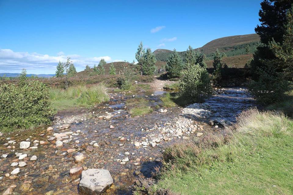
Gravel · United Kingdom
Riding in Perth and Kinross offers 9 road and mixed routes with varied climbing, starting from 9 towns across 503 km of mostly paved minor and main roads.
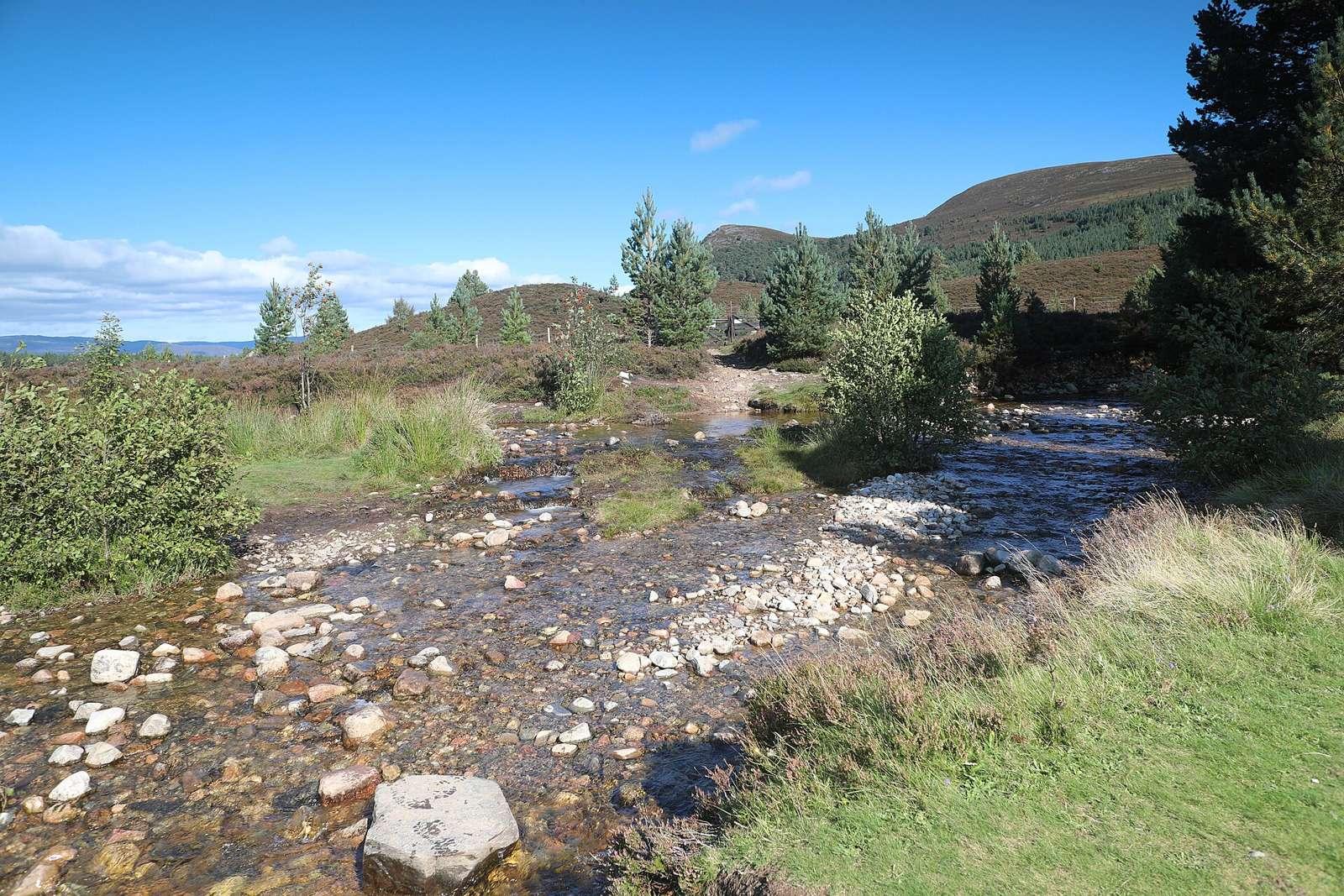
There are 9 routes starting from Butterstone, Kinross, Boltachan, Blair Atholl, Logierait, Strathtay, Bridge of Tilt, Kenmore, and Dull. The routes range from 13 to 113 km, with 7 point-to-point routes and 2 loops, mostly on road surfaces with some mixed and gravel.
Climbing varies widely, with the toughest route Bridge of Tilt to Braemar climbing 873 m over 113 km. Average climbing makes up 21% of distance, with gradients occasionally steep, up to 13.4% over 500 m. The riding covers mainly minor roads (40%) and main roads (23%), with some cycle paths and unpaved sections.
The terrain is rolling with 21% of the route distance climbing and an average gradient partly flat (58%) and partly climbing. The longest ride is 113 km with climbs reaching 873 m. Cycling surfaces are mostly paved (82%) with some unpaved parts (17%). Most of the routes use minor and main roads, with some sections on tracks, quiet streets, and cycle paths. Steep gradients are rare, with only 1 km above 8% and 0.9 km above 10%.
Across all routes, there are 44.9 km of cycle paths, 116.2 km of main roads without cycle lanes, and 207.6 km of roads with speed limits of 80 km/h or more.
The best months for cycling based on climate and scores are June, July, and August, with daily high temperatures from 17°C to 18°C.
Best months: Jun to Aug.