Cyclists.com

River Tay Way Cycle Route

Kenmore, Perth and Kinross, United KingdomRoad

Signed route The waymarked River Tay Way Cycle Route (local route), traced from OpenStreetMap and measured against the terrain model; no member has recorded it yet. Ridden it? Add your recording and photos.

104 km
Distance
481 m
Elevation gain
Hard
Difficulty
Paved
Surface
Download GPXMap

Elevation profile

Total ascent
481 m
Distance
104 km
050100150200m0 km255075104 km143 m · highest, at 71.9 kmStartFinish

Route overview

Cyclists suited to a long 104 km ride with moderate climbing of 481 m.

103.9 km point-to-point cycle route from Kenmore to Dundee along the River Tay with 481 m elevation gain.

Starting at Kenmore, the route travels through several small communities including Dull, Weem, Aberfeldy, and Dunkeld before reaching Perth and continuing towards Dundee. It features mostly paved surfaces (96%) with a small share of gravel or unpaved roads (2%). The road types are mixed, with 48% minor roads, 27% main roads, and 11% cycle paths. The ride includes 27.6 km on main roads without a cycle lane and 55.5 km on roads with speed limits of 80 km/h or more. The route climbs steadily especially between km 65.1 and 69.2, gaining 135 m with an average gradient of 3.3%, reaching a high point of 140 m at around km 70. From there, the route descends to its lowest point at 1 m near km 100. Water, shops, cafés, and toilets are available intermittently along the way, but there is a 19.6 km stretch without refreshments from km 18.4 to km 38. The towns of Dunkeld, Perth, and Dundee offer multiple refuelling options including restaurants, cafés, and convenience stores. Bailout points with stations are located at Dunkeld and Birnam (km 39.8), Perth (km 65.8), Invergowrie (km 94.9), and Dundee (km 101.1).

Highlights

  • River Tay Way from Kenmore to Dundee
  • High point at 140 m near km 69.8
  • Long descent of 2.8 km after km 73.1
  • Passes Dunkeld Cathedral archaeological site

Along the route

Measured from the recorded track and OpenStreetMap.

Places passed

  1. Dull 6.3 km
  2. Camserney 7.2 km
  3. Castle Menzies 9.3 km
  4. Weem 9.8 km
  5. Boltachan 10.4 km
  6. Aberfeldy 11.6 km
  7. Edradynate 15.6 km
  8. Little Ballinluig 17.7 km
  9. Grandtully 18.4 km
  10. Strathtay 18.4 km
  11. Pitnacree 19.7 km
  12. Tulloch of Pitnacree 20.1 km
  13. Balnaguard 23 km
  14. Logierait 25.5 km
  15. Balmacneil 26.8 km
  16. Dalguise 30.7 km
  17. Inchmagrannachan 33.4 km
  18. Inver 37.1 km
  19. Dunkeld 38.5 km
  20. Little Dunkeld 39 km
  21. Birnam 39.9 km
  22. Waterloo 45.7 km
  23. Bankfoot 48.1 km
  24. Moneydie 53.9 km
  25. Pitcairngreen 56.8 km
  26. Almondbank 57.8 km
  27. Huntingtowerfield 58.7 km
  28. Waterside Cottages 59.4 km
  29. Ruthvenfield 59.9 km
  30. Bertha Park 60.5 km
  31. North Muirton 63 km
  32. Muirton 64.5 km
  33. Kincarrathie 65.1 km
  34. Perth 65.8 km
  35. Bridgend 66.3 km
  36. Gannochy 66.3 km
  37. Corsiehill 67.7 km
  38. Muirhall 67.9 km
  39. The Binn 70.4 km
  40. Balthayock 71.9 km
  41. Goukton 72.4 km
  42. Pepperknowes 73.9 km
  43. Glencarse 75 km
  44. St Madoes 75.7 km
  45. Upper Mains 76.5 km
  46. Hawkstane 76.6 km
  47. Cottown 76.7 km
  48. Chapelhill 76.8 km
  49. Leetown 77.2 km
  50. Hill of Errol 79.2 km
  51. Mains of Errol 80.2 km
  52. Errol 81.9 km
  53. East Leys 83.5 km
  54. Grange 85.3 km
  55. Bogmiln 86.4 km
  56. Little Powgavie 87.7 km
  57. Broomhall 88.9 km
  58. Rawes 90.1 km
  59. Monorgan 91.4 km
  60. Kingoodie 93.8 km
  61. Invergowrie 95.3 km
  62. Gowrie Park 95.5 km
  63. Ninewells 96.7 km
  64. Logie 98.6 km
  65. West End 99 km
  66. Dundee 101.2 km
  67. City Quay 101.2 km
  68. City Centre 101.2 km
  69. Waterfront 101.2 km

Climbs

ClimbStarts atLengthGainAverageMaxTop
65.1 km4.1 km135 m3.3 %6.8 %140 m

High point 144 m at 69.8 km; low point 1 m. Passes beneath Creag an t-Soluis, The Rocking Stone, Craig a Barns.

What this ride is like

Measured from OpenStreetMap along the track and the elevation profile.

Roads
48% minor road · 27% main road · 11% cycle path · 7% quiet street
Main roads
27.6 km on main roads without a cycle lane — likely busier
Fast roads
55.5 km on roads with a limit of 80 km/h or more
Cycle paths
11.2 km on cycle paths or roads with a cycle lane
Main roads used
B898 (13 km), C447 (10 km), B867 (7 km), B846 (5 km)
Surface
Paved throughout
Gradient
10% climbing · 11% descending · 78% flat
Steep sections
1.6 km over 5% · steepest 500 m averages 9.3% at 0 km
Longest descent
2.8 km from 73.1 km, dropping 101 m

Along the way

Within a few hundred metres of the track, from OpenStreetMap. Opening hours change — treat this as where to look, not a promise.

Longest stretch without a café, shop or water: 20 km, from 18 km to 38 km.

Food, water and shops

  1. 0 kmCourtyard · restaurant · on the route
  2. 0 kmToilets · 50 m off route
  3. 7.2 kmToilets · 130 m off route
  4. 10.3 kmAilean Chraggan Restaurant · restaurant · 30 m off route
  5. 18.4 kmSpar · convenience store · on the route
  6. 38.4 kmProgression Bikes · bike shop · 50 m off route
  7. 38.5 kmDavidsons Chemists · pharmacy · on the route
  8. 39.8 kmThe Cauld Well · spring · 190 m off route
  9. 47.8 kmThe Atholl · pub · on the route
  10. 57.8 kmTickled Trout Café · café · on the route
  11. 65.8 kmGeorge Street Tearoom · café · 150 m off route
  12. 65.8 kmJ M Richards · bike shop · 150 m off route
  13. 66.1 kmDavidsons Chemists · pharmacy · 30 m off route
  14. 81.8 kmThe Lass O'Gowrie · café · on the route
  15. 82 kmThe Carse Chemist · pharmacy · 50 m off route
  16. 98.5 kmBike rental · 40 m off route
  17. 100.8 kmTesco Extra · supermarket · 130 m off route
  18. 101.1 kmToilets · 40 m off route

Need to bail out?

  • 39.8 kmDunkeld and Birnam (station), on the route
  • 65.8 kmPerth (station), 1.1 km off route
  • 94.9 kmInvergowrie (station), on the route
  • 101.1 kmDundee (station), 110 m off route

Whether bikes are carried depends on the service — check before relying on it.

Worth a stop

  • 3.8 kmComrie Castle (castle)
  • 37.8 kmDunkeld Cathedral (archaeological site)
  • 57.8 kmCollege Mill (archaeological site)
  • 71.9 kmBalthayock Castle (castle)
  • 98 kmTay View (viewpoint)

At the start

  • Courtyard · restaurant · 50 m

At the finish

  • The Dundee Coffee House · café · 100 m
  • Costa · café · 110 m
  • Dundee · station · 180 m
  • Tatha Bar and Kitchen · restaurant · 80 m
  • Tesco Express · convenience store · 90 m

Stay after this ride

  • Four Points Flex by Sheraton · hotel · 110 m from the finish
  • Premier Inn · hotel · 230 m from the finish
  • Malmaison · hotel · 180 m from the finish
  • Abalree Guest House · guest house · 270 m from the finish
  • The Queens Hotel · hotel · 480 m from the finish

Practical information

Surface
Paved
Route shape
Point to point
Riding time
7 h 25 min
Best months
Jun to Aug — daily highs of 17–18 °C in those months

Know before you go

  • 19.6 km with no café, shop or water between km 18.4 and 38
  • 27.6 km on main roads without cycle lanes
  • 55.5 km on roads with 80 km/h speed limits or more

Routes are for inspiration. Roads, surfaces and conditions change — check locally and ride within your limits.

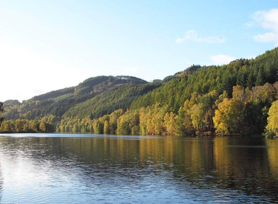
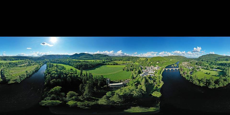
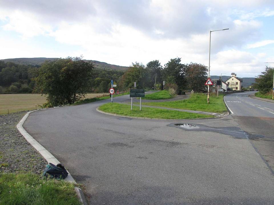
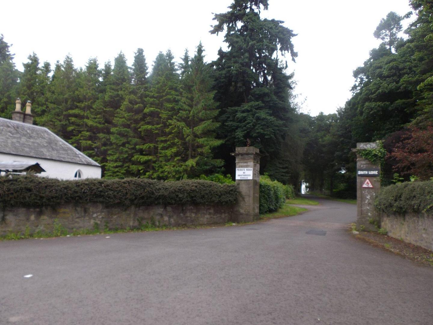
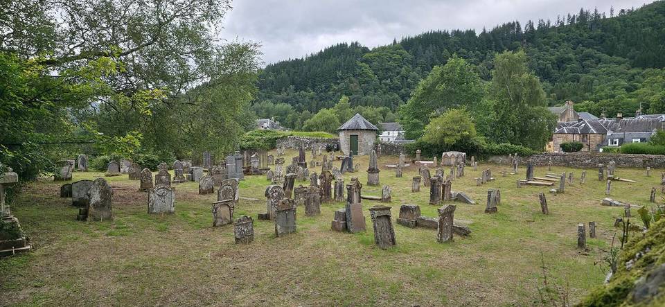
2 photographs from the road

Photo: Stanley Howe · CC BY-SA 2.0 · Wikimedia Commons · Photo: wfmillar · CC BY-SA 2.0 · Wikimedia Commons · Photo: Woodiechef · CC BY-SA 4.0 · Wikimedia Commons