Cyclists.com

Dunkeld Dull Strathtay Loop

Strathtay, Perth and Kinross, United KingdomRoad

Signed route The waymarked Dunkeld Dull Strathtay Loop (local route), traced from OpenStreetMap and measured against the terrain model; no member has recorded it yet. Ridden it? Add your recording and photos.

57 km
Distance
503 m
Elevation gain
Moderate
Difficulty
Paved
Surface
Download GPXMap

Elevation profile

Total ascent
503 m
Distance
57 km
0100200300400500m0 km204057 km405 m · highest, at 16.1 kmStartFinish · back at the start

Route overview

Suitable for riders comfortable with moderate climbs and long sections on main roads.

57 km loop from Strathtay near Dunkeld in Perth and Kinross with 503 m climbing.

Starting from Strathtay near Grandtully, the route heads through Little Ballinluig and Edradynate before reaching Boltachan and Weem. It continues to Aberfeldy by 9.3 km where cafés, shops, toilets, bike shops and water are available, marking the last services for a 20.1 km stretch. Beyond Aberfeldy, the main road climb begins at 8.6 km, lasting 6.1 km gaining 319 m at an average gradient of 5.3% with peaks at 7.4%. After approximately 16.1 km the route reaches its highest point of 404 m. Following this, there is an 8.7 km descent dropping 175 m towards Trochry and then Inver.

Highlights

  • Climb from 8.6 to 14.7 km, 319 m gain
  • Passes Dunkeld near Stanley Hill and Shepherd’s Peak
  • Longest descent 16.4 to 25.1 km, 8.7 km
  • Services at Aberfeldy at 9.3 km

Along the route

Measured from the recorded track and OpenStreetMap.

Places passed

  1. Edradynate 2.8 km
  2. Boltachan 8.1 km
  3. Weem 8.2 km
  4. Aberfeldy 9.3 km
  5. Trochry 30.2 km
  6. Inver 34.6 km
  7. Birnam 35.7 km
  8. Little Dunkeld 35.7 km
  9. Dunkeld 36.2 km
  10. Inchmagrannachan 41.2 km
  11. Dalguise 44 km
  12. Balmacneil 48.1 km
  13. Logierait 49.6 km
  14. Balnaguard 51.9 km
  15. Tulloch of Pitnacree 54.7 km

Climbs

ClimbStarts atLengthGainAverageMaxTop
8.6 km6.1 km319 m5.3 %7.4 %403 m
45.3 km2 km41 m2.1 %2.9 %103 m

High point 404 m at 16.1 km; low point 49 m. Passes beneath Gallow Hill, Shepherd’s Peak, Gallow Hill.

What this ride is like

Measured from OpenStreetMap along the track and the elevation profile.

Roads
70% main road · 19% minor road · 4% quiet street · 4% track
Main roads
39.6 km on main roads without a cycle lane — likely busier
Fast roads
45.2 km on roads with a limit of 80 km/h or more
Main roads used
A826 (14 km), B898 (14 km), A822 (10 km), C447 (10 km)
Surface
Paved throughout
Gradient
20% climbing · 26% descending · 54% flat
Steep sections
4.1 km over 5% · steepest 500 m averages 7.1% at 11.8 km
Longest descent
8.7 km from 16.4 km, dropping 175 m

Along the way

Within a few hundred metres of the track, from OpenStreetMap. Opening hours change — treat this as where to look, not a promise.

Longest stretch without a café, shop or water: 20 km, from 9 km to 29 km.

Food, water and shops

  1. 0 kmHighland Chocolatier · café · 320 m off route
  2. 0 kmSpar · convenience store · on the route
  3. 9.1 kmToilets · 80 m off route
  4. 9.3 kmThe Watermill · café · 90 m off route
  5. 9.3 kmBallintaggart · supermarket · 200 m off route
  6. 9.3 kmTop Up Tap · drinking water · 200 m off route
  7. 9.3 kmDraft & Flow Community Cycle Workshop · bike shop · 210 m off route
  8. 29.4 kmWater tap · 240 m off route
  9. 29.4 kmToilets · 150 m off route
  10. 36.1 kmDavidsons Chemists · pharmacy · on the route
  11. 36.2 kmRedwood Wines · café · on the route
  12. 36.2 kmCo-op Food · convenience store · on the route
  13. 36.2 kmProgression Bikes · bike shop · 50 m off route
  14. 36.4 kmToilets · 60 m off route

Need to bail out?

  • 35.7 kmDunkeld and Birnam (station), 730 m off route

Whether bikes are carried depends on the service — check before relying on it.

Worth a stop

  • 7.5 kmEaster Boltachan (archaeological site)
  • 23.4 kmMilton (archaeological site)
  • 36.6 kmStanley Hill (peak, 69 m)
  • 45.6 kmMilton of Kincraigie (archaeological site)
  • 55.2 kmPitnacree (archaeological site)

At the start and finish

  • Spar · convenience store · 0 m
  • Highland Chocolatier · café · 320 m
  • Tully Bar · pub · 320 m
  • The Inn on the Tay · restaurant · 310 m
  • The Grandtully Hotel Restaurant · restaurant · 330 m

Practical information

Surface
Paved
Route shape
Loop
Riding time
4 h 04 min
Best months
Jun to Aug — daily highs of 17–18 °C in those months

Know before you go

  • 39.6 km on main roads without cycle lanes
  • 45.2 km on roads with 80 km/h or more speed limit
  • 20.1 km longest stretch without café, shop or water from 9.3 to 29.4 km
  • 0.1 km road with gradients over 10%

Routes are for inspiration. Roads, surfaces and conditions change — check locally and ride within your limits.

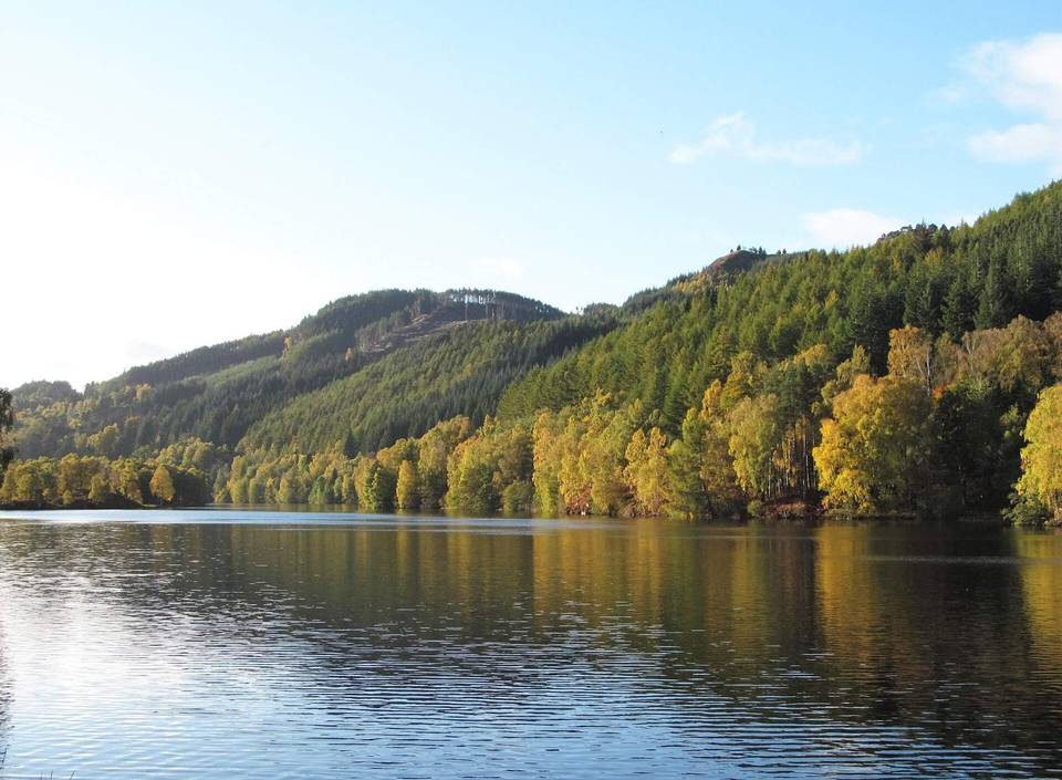
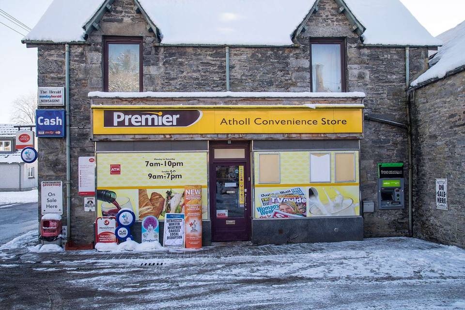
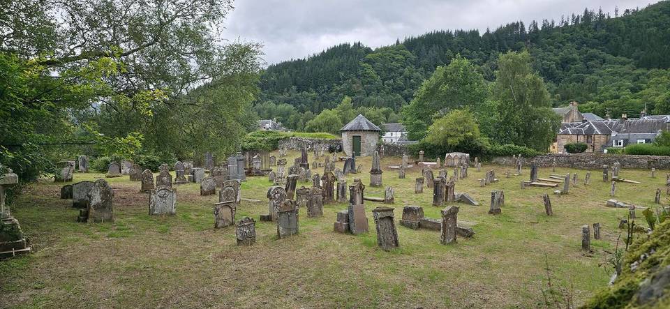
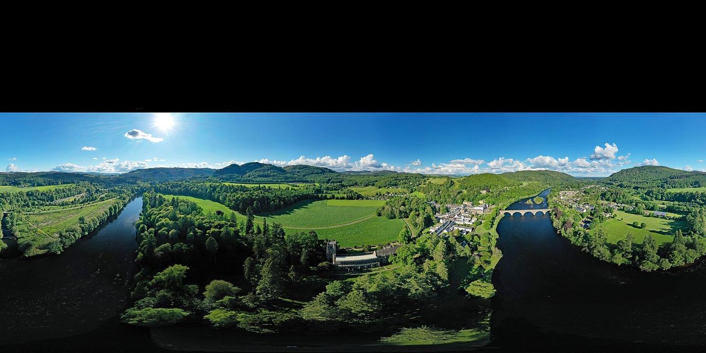
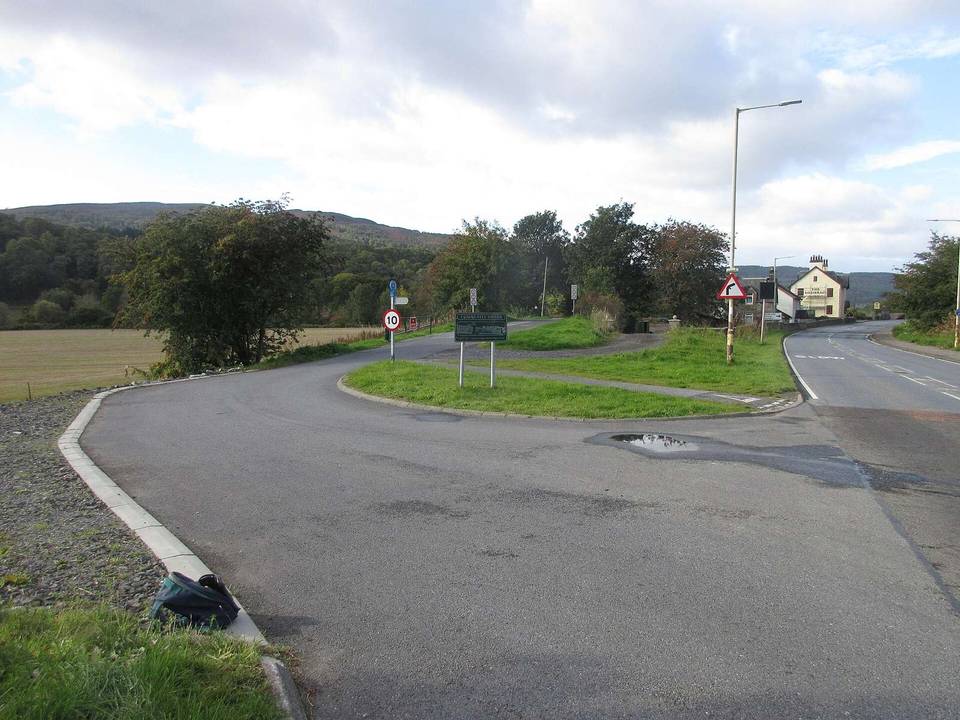
2 photographs from the road

Photo: PaulT (Gunther Tschuch) · CC BY-SA 4.0 · Wikimedia Commons · Photo: Scott Cormie · CC BY-SA 2.0 · Wikimedia Commons