Cyclists.com

Blair Atholl to Killin

Blair Atholl, Perth and Kinross, United KingdomRoad

Signed route The waymarked EuroVelo 1 (EuroVelo EV1), traced from OpenStreetMap and measured against the terrain model; no member has recorded it yet. Stage 3 of 7 of the EuroVelo 1. Ridden it? Add your recording and photos.

73 km
Distance
459 m
Elevation gain
Moderate
Difficulty
Paved
Surface
Download GPXMap

Elevation profile

Total ascent
459 m
Distance
73 km
050100150200250m0 km20406073 km209 m · highest, at 52.7 kmStartFinish

Route overview

Suitable for riders comfortable on a 73 km route with moderate climbs totalling 459 m elevation gain.

Stage 3 of 7 of the EuroVelo 1: 72.8 km from Blair Atholl to Killin with 459 m of climbing, on the signed route.

Starting in Blair Atholl, the ride passes through a series of places including Bridge of Tilt, Aldclune, and Killiecrankie, continuing on through Pitlochry and Aberfeldy before reaching its finish in Killin. The route follows mostly minor roads (64%) with 29% on main roads, all fully paved except for about 2% gravel or unpaved sections. Climbing is moderate with three main ascents near km 49, km 56, and km 69 gains of 92 m, 44 m and 46 m respectively, averaging gradients between 2.5% and 3.6%. The highest point of 209 m is near km 52. The route has 67% flat sections, and short stretches of steeper gradients over 5%. The longest descent is 1.4 km long with a drop of 39 m. Along the ride there are shops and cafés available, notably in Blair Atholl, Pitlochry and Aberfeldy. There is a longest stretch without café, shop or water of 14.2 km between km 47 and 61.4. Two train stations offer bailout points at Blair Atholl and Pitlochry. The route passes near peaks such as Tom Dubh (250 m) and Dunmore Hill (159 m).

Highlights

  • Highest point at 209 m near km 52
  • Climbs near Acharn and Ardtalnaig
  • Passes through Pitlochry and Aberfeldy
  • Near peaks Tom Dubh and Creag na Cìche

Along the route

Measured from the recorded track and OpenStreetMap.

Places passed

  1. Aldclune 3.3 km
  2. Urrard 4.4 km
  3. Killiecrankie 5.1 km
  4. Faskally 8.5 km
  5. Pitlochry 11.4 km
  6. Port na Craig 12.2 km
  7. Ballinluig 18.6 km
  8. Logierait 19.3 km
  9. Balnaguard 22.4 km
  10. Tulloch of Pitnacree 25.2 km
  11. Pitnacree 25.6 km
  12. Grandtully 27 km
  13. Strathtay 27 km
  14. Little Ballinluig 27.7 km
  15. Edradynate 29.8 km
  16. Aberfeldy 33.8 km
  17. Boltachan 35.1 km
  18. Weem 35.6 km
  19. Castle Menzies 36.1 km
  20. Camserney 38.1 km
  21. Dull 39.2 km
  22. Kenmore 45.8 km
  23. Acharn 48.8 km
  24. Ardtalnaig 56.4 km
  25. Ardeonaig 61.4 km

Climbs

ClimbStarts atLengthGainAverageMaxTop
48.8 km2.7 km92 m3.4 %5.4 %206 m
56.2 km1.8 km44 m2.5 %4.5 %186 m
68.5 km1.3 km46 m3.6 %4.6 %165 m

High point 209 m at 52.1 km; low point 62 m. Passes beneath Tom Dubh, Dunmore Hill, Creag na Cìche.

What this ride is like

Measured from OpenStreetMap along the track and the elevation profile.

Roads
64% minor road · 29% main road · 4% quiet street · 3% path
Main roads
20.6 km on main roads without a cycle lane — likely busier
Fast roads
35.9 km on roads with a limit of 80 km/h or more
Main roads used
C447 (10 km), C452 (7 km), B8079 (6 km), B846 (5 km)
Surface
Paved throughout
Gradient
16% climbing · 17% descending · 67% flat
Steep sections
0.8 km over 5% · steepest 500 m averages 9.5% at 0 km

Along the way

Within a few hundred metres of the track, from OpenStreetMap. Opening hours change — treat this as where to look, not a promise.

Food, water and shops

  1. 0 kmBothy Bar · pub · 70 m off route
  2. 0.2 kmWater point · 120 m off route
  3. 0.4 kmToilets · 70 m off route
  4. 1 kmGulf · petrol station · 90 m off route
  5. 5.6 kmJacoBite Café · café · on the route
  6. 5.6 kmToilets · 50 m off route
  7. 11.4 kmHettie's Tearoom · café · on the route
  8. 11.4 kmCo-op Food · supermarket · 110 m off route
  9. 11.4 kmDavidsons Chemists · pharmacy · on the route
  10. 11.8 kmEscape Route · bike shop · 110 m off route
  11. 19.3 kmPub · 30 m off route
  12. 27 kmSpar · convenience store · on the route
  13. 35.1 kmAilean Chraggan Restaurant · restaurant · on the route
  14. 38.1 kmToilets · 40 m off route
  15. 46 kmPaper Boat Cafe · café · 50 m off route
  16. 46.3 kmToilets · on the route
  17. 72.2 kmFalls of Dochart Inn Tea Room · café · 80 m off route
  18. 72.2 kmToilets · 210 m off route

Need to bail out?

  • 0 kmBlair Atholl (station), 140 m off route
  • 11.4 kmPitlochry (station), 130 m off route

Whether bikes are carried depends on the service — check before relying on it.

Worth a stop

  • 5.4 kmThe Soldier's Leap (viewpoint)
  • 10.1 kmOld Bridge Viewpoint (viewpoint)
  • 16 kmCnoc Tom (viewpoint)
  • 25.6 kmPitnacree (archaeological site)
  • 34.5 kmEaster Boltachan (archaeological site)
  • 41.6 kmComrie Castle (castle)

At the start

  • Blair Atholl · station · 140 m
  • Bothy Bar · pub · 70 m
  • Blair Atholl Watermill Tea Room · café · 170 m
  • Craft Beer Centre · fast food · 360 m
  • Blair Castle Caravan Park Shop · convenience store · 340 m

At the finish

  • Falls of Dochart Inn Tea Room · café · 80 m
  • Falls of Dochart Inn · pub · 80 m
  • Capercaillie · restaurant · 210 m
  • Davidsons Chemists · pharmacy · 330 m

Stay after this ride

  • The Old Smiddy · guest house · 210 m from the finish
  • Capercaillie · guest house · 220 m from the finish
  • The Old Bank · guest house · 310 m from the finish
  • Breadalbane House · guest house · 390 m from the finish
  • The Courie Inn · hotel · 390 m from the finish

Practical information

Surface
Paved
Route shape
Point to point
Riding time
5 h 12 min
Best months
Jun to Aug — daily highs of 17–18 °C in those months

Know before you go

  • 14.2 km longest stretch without café, shop or water from km 47 to 61.4
  • 20.6 km on main roads without a cycle lane
  • 35.9 km on roads with speed limits 80 km/h or above
  • About 2% of route on gravel or unpaved surface

Routes are for inspiration. Roads, surfaces and conditions change — check locally and ride within your limits.

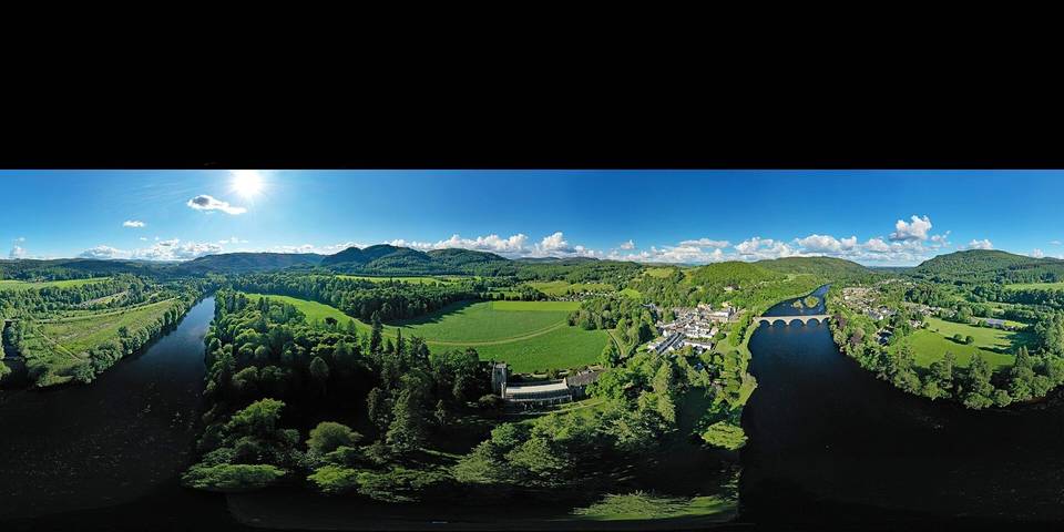
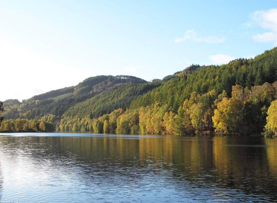
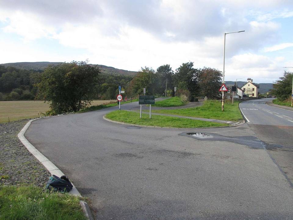
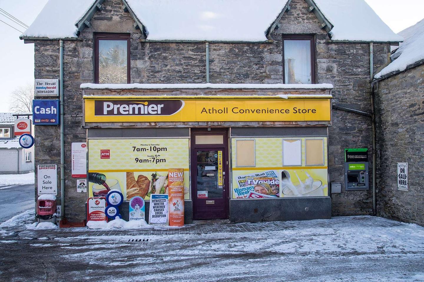
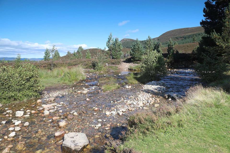
2 photographs from the road

Photo: Garry Cornes · CC BY-SA 2.0 · Wikimedia Commons · Photo: Michael Garlick · CC BY-SA 2.0 · Wikimedia Commons · Photo: Rose Abrams · CC0 · Wikimedia Commons

Stage of