
Gravel · United Kingdom
Stage 4 of 7 · EuroVelo 1← Stage 3Stage 5 →
A hilly 95 km road cycling route from Killin, Stirling to Bonhill through Lochearnhead, Kingshouse and Strathyre, with 846 m of climbing. There is a 21 km stretch without a café, shop or water (km 39–59). Mixed surface: 63% is mapped as paved and 35% as gravel or unpaved and 2% has no surface data.
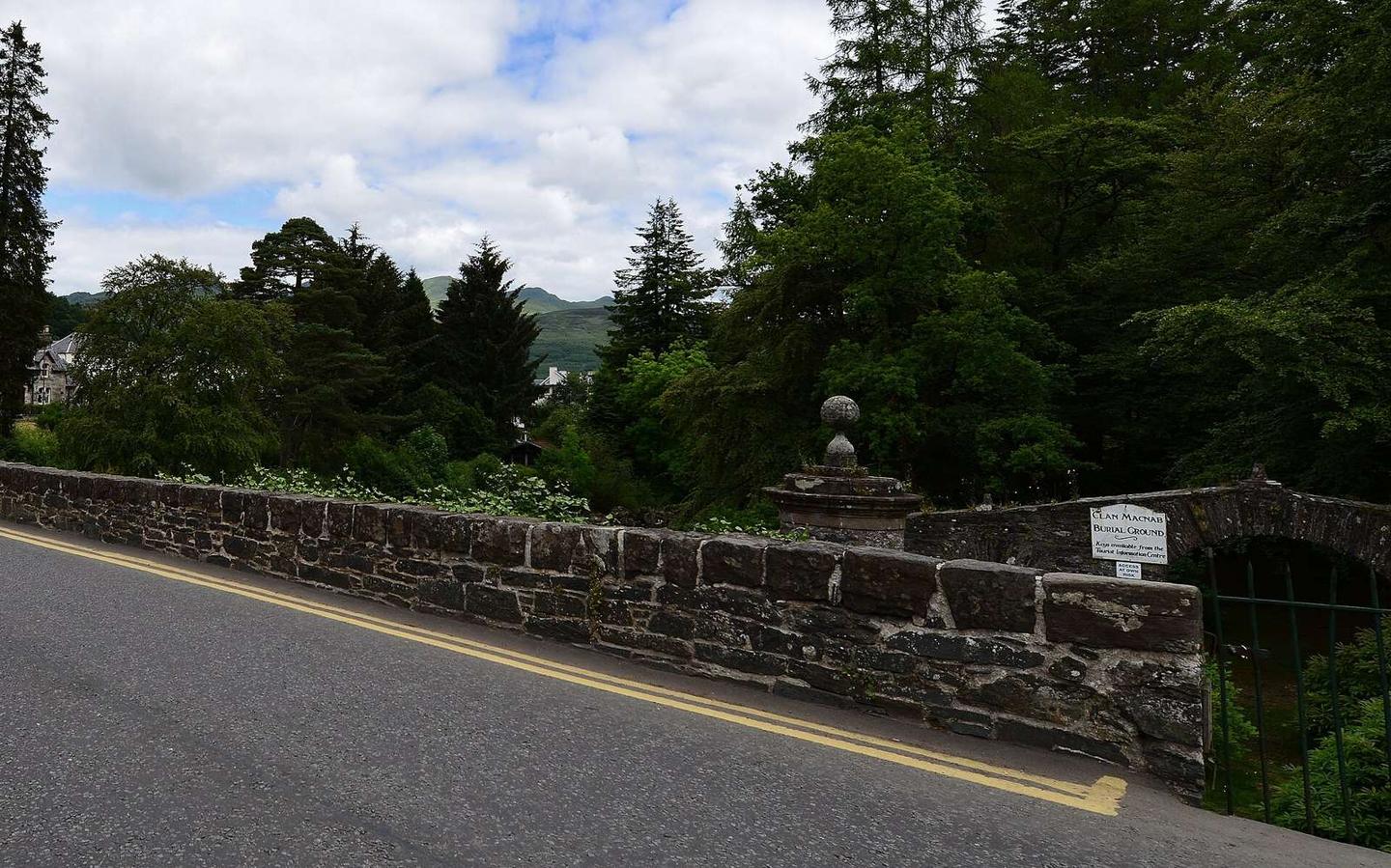
The route starts in Killin and climbs steadily over 5 km gaining 163 m to 293 m elevation. It passes through Lochearnhead, Kingshouse, Balquhidder and Strathyre before reaching Kilmahog and the larger town of Callander by 38.6 km. The first half has 38% of the overall climbing with a high point at 5.1 km.
The surface is mixed: 63% paved, 35% gravel or unpaved, with 36% of the route on minor roads, 35% on cycle paths, 14% on tracks, and smaller portions on quiet streets, main roads and paths. There are 3.3 km on main roads without a cycle lane, with 11.8 km on roads with speed limits of 80 km/h or more. The route takes the C9 road for about 4 km.
After Callander, the route climbs again with smaller ascents at 48.2, 53 and 61.9 km, plus a longer climb of 4.6 km from 65.6 km. Places along the way to refuel or get supplies include cafés, shops and bakeries especially near towns like Aberfoyle (60 km), Drymen (75 km) and Balloch (89 km). There is a longest stretch of 20.7 km without café, shop or water between 38.6 km and 59.3 km. Balloch offers a station and bailout if needed. The route finishes descending to Bonhill at 91.6 km at 6 m elevation.
| Climb | Starts at | On this ride | Top on this ride |
|---|---|---|---|
| Unnamed climb | 0 km | 5 km · 163 m · 3.2 % · max 6.2 % | 293 m |
| Unnamed climb | 48.2 km | 2.2 km · 72 m · 3.3 % · max 5.9 % | 166 m |
| Unnamed climb | 53 km | 3.2 km · 114 m · 3.6 % · max 6 % | 251 m |
| Unnamed climb | 61.9 km | 2.2 km · 57 m · 2.7 % · max 6.2 % | 80 m |
| Unnamed climb | 65.6 km | 4.6 km · 122 m · 2.7 % · max 5.9 % | 178 m |
Mostly minor roads and streets on the map; 3.3 km is on main roads without a cycle lane.
The longest stretch without a café, shop or water is 21 km, from km 39 to 59. Along the route: 70 cafés and restaurants, 16 shops, 4 water points, 1 petrol station, 13 public toilets and 8 bike shops.