
Road · United Kingdom
Stage 2 of 3 · Great North Trail (Grampian Mountains)← Stage 1Stage 3 →
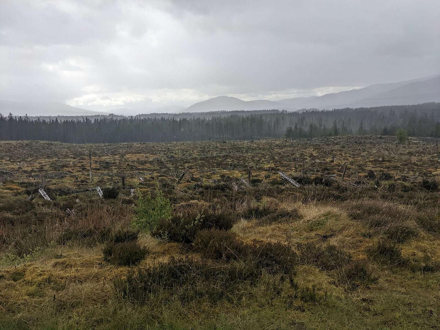
A hilly 100 km gravel route from Killin, Stirling to the end of the Great North Trail through Botaurnie, Kenknock and Pubil, with 1,331 m of climbing. There is a 63 km stretch without a café, shop or water (km 34–97). Mixed surface: 49% is mapped as paved and 51% as gravel or unpaved.
The route starts at Killin (km 0) and passes through Botaurnie, Kenknock, Pubil, Cashlie, Gallin, Bridge of Balgie, Kerrowmore, Innerwick, and ends near Bridge of Gaur at 99.8 km. It includes five main climbs: the first between 11.6 km and 15.2 km rises 293 m at an average gradient of 8.1%, the second climb between 34.9 km and 38.3 km gains 261 m at 7.8%, and three shorter climbs follow, the longest being 7.3 km from 65.7 km with 278 m of elevation gain. The highest point on the route is 547 m at 75.8 km. Terrain is mixed with 49% paved and 51% gravel or unpaved surfaces. Road types include 43.4 km of track, 27 km of minor roads, 18.8 km of quiet streets, and 7.6 km on main roads, all without cycle lanes. The route traverses sections of Glen Lochay Road and B846 totaling over 14 km.
| Climb | Starts at | On this ride | Top on this ride |
|---|---|---|---|
| Unnamed climb | 11.6 km | 3.6 km · 293 m · 8.1 % · max 11.5 % | 488 m |
| Unnamed climb | 34.9 km | 3.4 km · 261 m · 7.8 % · max 14 % | 468 m |
| Unnamed climb | 50.3 km | 1.7 km · 58 m · 3.4 % · max 8 % | 369 m |
| Unnamed climb | 63.4 km | 1.9 km · 41 m · 2.2 % · max 4.3 % | 271 m |
| Unnamed climb | 65.7 km | 7.3 km · 278 m · 3.8 % · max 8 % | 546 m |
Mostly minor roads and streets on the map; 7.6 km is on main roads without a cycle lane.
The longest stretch without a café, shop or water is 63 km, from km 34 to 97. Along the route: 3 cafés and restaurants, 2 shops, 1 water point, 3 public toilets and 2 bike shops.