Cyclists.com

Roybridge to Fort Augustus

Roybridge, Highland, United KingdomGravel

Signed route The waymarked Great North Trail (Grampian Mountains) (Cycling UK), traced from OpenStreetMap and measured against the terrain model; no member has recorded it yet. Stage 3 of 3 of the Great North Trail (Grampian Mountains). Ridden it? Add your recording and photos.

58 km
Distance
789 m
Elevation gain
Moderate
Difficulty
Mixed
Surface
Download GPXMap

Elevation profile

Total ascent
789 m
Distance
58 km
0200400600800m0 km204058 km765 m · highest, at 42.1 kmStartFinish

Route overview

Suitable for riders prepared for a mid-distance ride with significant climbing and mixed surfaces.

Stage 3 of 3 of the Great North Trail (Grampian Mountains): 57.8 km from Roybridge to Fort Augustus with 789 m of climbing, on the signed route.

Starting from Roybridge, this 57.8 km route descends and climbs gently before reaching a first climb at 20.2 km. This climb is 1.7 km long with a 79 m ascent averaging 4.8% and a maximum gradient of 8.8%, topping out at 337 m. Shortly after, at 25.3 km, a shorter climb of 2.1 km gains 40 m at an average of 1.9%. The main challenge is the final long climb starting at 34.7 km, ascending 427 m over 6.8 km at 6.3% avg, with max gradients hitting 15.6%, reaching the route's highest point at 765 m around 41.5 km.

Highlights

  • Long climb from km 34.7 to 41.5 reaching 765 m
  • 9.7 km on General Wade's Military Road
  • Viewpoint at 21.7 km (Cairn)
  • Peaks Binnein Shìos (667 m) at 12.9 km and Meallan Odhar near 42 km

Along the route

Measured from the recorded track and OpenStreetMap.

Climbs

ClimbStarts atLengthGainAverageMaxTop
20.2 km1.7 km79 m4.8 %8.8 %337 m
25.3 km2.1 km40 m1.9 %2.6 %308 m
34.7 km6.8 km427 m6.3 %15.6 %765 m

High point 765 m at 41.5 km; low point 20 m. Passes beneath Torr a' Ghuilhinn, Binnein Shìos, Meallan Odhar Beag.

What this ride is like

Measured from OpenStreetMap along the track and the elevation profile.

Roads
60% track · 19% minor road · 17% quiet street · 2% major road
Main roads
1.3 km on main roads without a cycle lane — likely busier
Fast roads
12 km on roads with a limit of 80 km/h or more
Main roads used
General Wade's Military Road (10 km)
Surface
30% paved · 70% gravel or unpaved
Gradient
26% climbing · 33% descending · 40% flat
Steep sections
4.9 km over 5% · 2 km over 8% · 1.1 km over 10% · steepest 500 m averages 20.1% at 0 km
Longest descent
4.2 km from 42.1 km, dropping 393 m

Along the way

Within a few hundred metres of the track, from OpenStreetMap. Opening hours change — treat this as where to look, not a promise.

Longest stretch without a café, shop or water: 57 km, from 0 km to 57 km.

Food, water and shops

  1. 56.8 kmCaledonian Canal Centre · café · 60 m off route
  2. 56.8 kmSpar · convenience store · 150 m off route
  3. 56.8 kmTop Up Tap · drinking water · 170 m off route
  4. 56.8 kmToilets · 180 m off route
  5. 56.8 kmGreat Glen · petrol station · 150 m off route
  6. 56.8 kmPharmacy · 160 m off route

Worth a stop

  • 21.7 kmCairn (viewpoint)
  • 42 kmMeallan Odhar Beag (peak)

At the finish

  • Caledonian Canal Centre · café · 60 m
  • Nourish Ness Community Café · café · 70 m
  • Highland Ice Cream · ice cream · 50 m
  • Richmond House Hotel Bar & Restaurant · restaurant · 50 m
  • Bothy Bite · restaurant · 40 m

Stay after this ride

  • Richmond House Hotel · hotel · 50 m from the finish
  • Abbey Cottage B&B · guest house · 70 m from the finish
  • Kings Inn B&B · guest house · 80 m from the finish
  • Lorien House B&B · guest house · 70 m from the finish
  • Monks Retreat B&B · guest house · 210 m from the finish

Practical information

Surface
Mixed
Route shape
Point to point
Riding time
4 h 49 min
Best months
Jun to Aug — daily highs of 16–17 °C in those months

Know before you go

  • 56.5 km longest stretch without café, shop or water
  • 1.3 km on main roads without cycle lane
  • 12 km on roads with posted limits over 80 km/h
  • 70% of route on gravel or unpaved surfaces

Routes are for inspiration. Roads, surfaces and conditions change — check locally and ride within your limits.

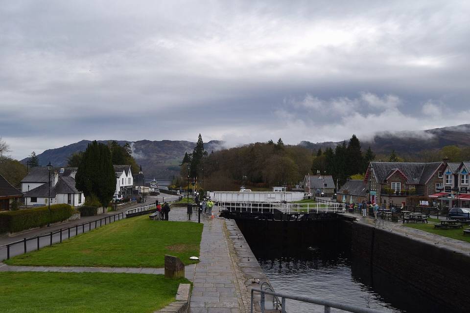
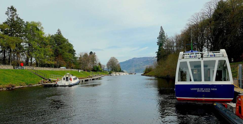
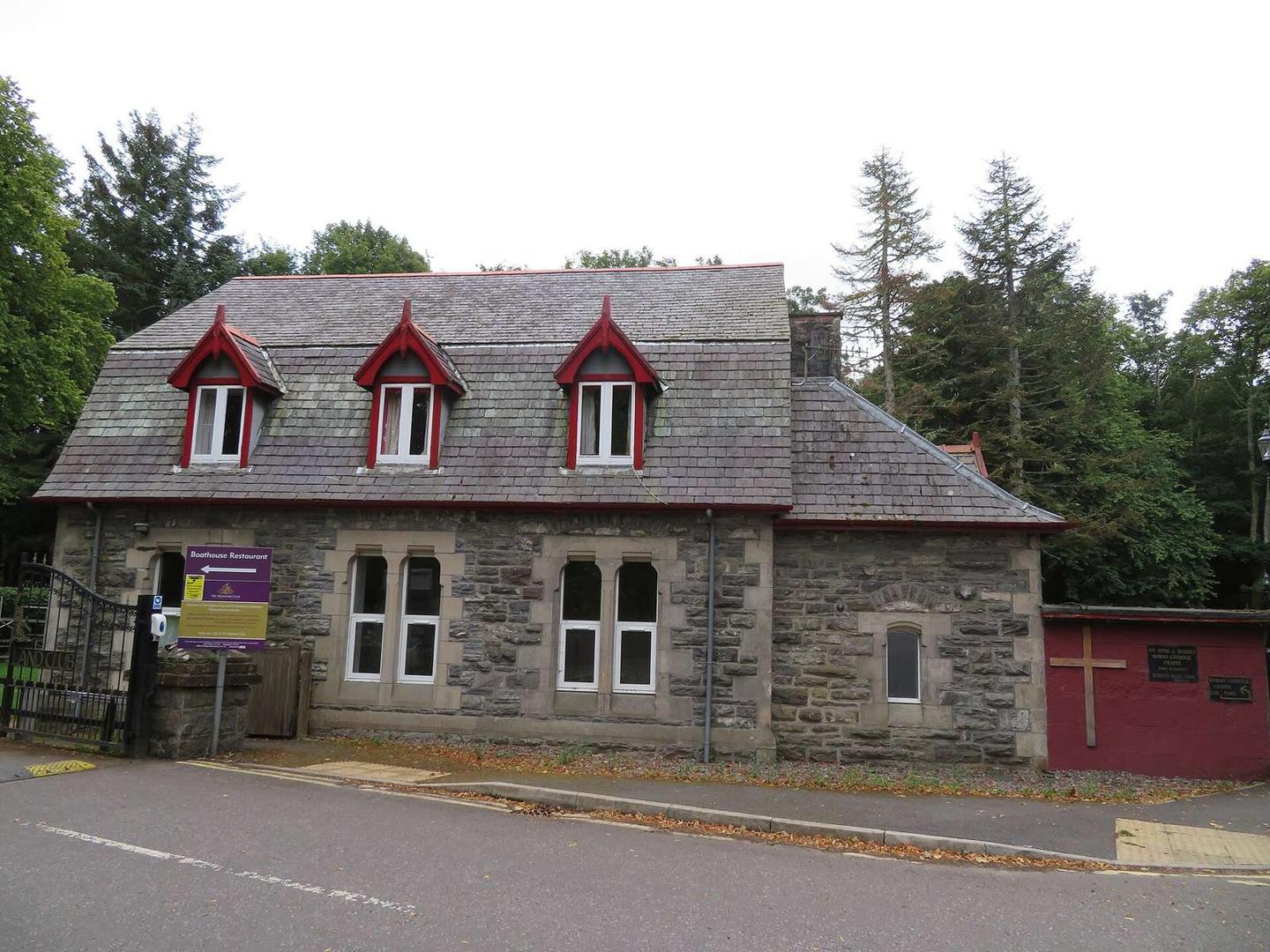
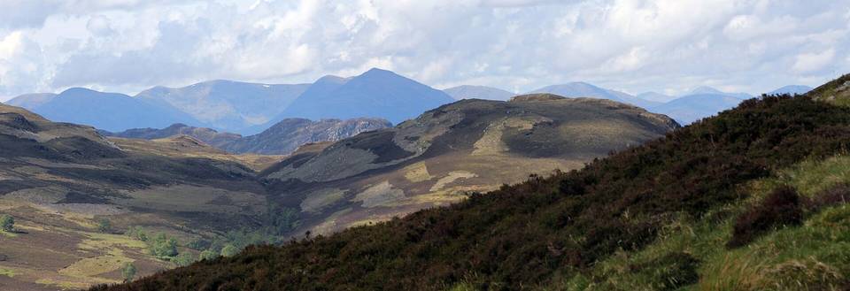
2 photographs from the road

Photo: WeeHolly · CC BY-SA 4.0 · Wikimedia Commons · Photo: David Medcalf · CC BY-SA 2.0 · Wikimedia Commons · Photo: Jennifer Jones · CC BY-SA 2.0 · Wikimedia Commons

Stage of