Cyclists.com

National Cycle Route 78 (North)

Fort Augustus, Highland, United KingdomMixed

Signed route The waymarked National Cycle Route 78 (North) (Walk Wheel Cycle Trust), traced from OpenStreetMap and measured against the terrain model; no member has recorded it yet. Ridden it? Add your recording and photos.

53 km
Distance
252 m
Elevation gain
Moderate
Difficulty
Mixed
Surface
Download GPXMap

Elevation profile

Total ascent
252 m
Distance
53 km
050100150m0 km204053 km127 m · highest, at 20.3 kmStartFinish

Route overview

Suitable for riders comfortable with moderate distance and mixed surfaces including gravel and paved sections with some climbing.

National Cycle Route 78 (North) runs 53 km from Fort Augustus to Fort William in the Highland region, with 252 m of climbing.

National Cycle Route 78 (North) starts at Fort Augustus and heads northeast passing Kytra Lock at 3.6 km, Cullochy Lock at 6.8 km, Aberchalder at 7.4 km, then on to North Laggan at 14.5 km and South Laggan at 16.4 km. The route features a mix of surfaces with around 41% paved and 58% gravel or unpaved. It includes main roads (13%) and quiet streets (10%), with 7 km on main roads lacking a cycle lane and 7.4 km on roads with speed limits of 80 km/h or higher. The longest named road section is the B8005 for 6.2 km. Two main climbs are on the route: a climb of 3.5 km starting just after 17 km with 99 m gained at an average of 2.8%, and a shorter climb of 1.8 km from 24.7 km with 56 m gained at an average of 3.1%. The highest point is 131 m at 20.6 km. The route descends to a low of 2 m near the finish around 51.9 km. There is a longest continuous climb of just 0.1 km over 5% gradients and similarly brief steeper sections. Along the route, there is a longest stretch of 18.3 km without cafés, shops or water between km 17.1 and 35.4. Cafés at the start include Ripples Tearoom & Gifts, and Laggan Locks Take Away at 17 km; near the finish are LAD Community Café and Fox William Coffee Shop & Café. Shops and petrol stations are at the start and near Fort William. Toilets are available at several locations including 10 km, 17 km, 23.8 km, 35.4 km, 47.6 km and 51.9 km. The route passes near the peak Tom Dubh at 47.1 km. Bike repair is possible at Nevis Cycles near 50.5 km. Bailout points include Banavie station and Camusnagaul passenger ferry near the finish.

Highlights

  • Passes locks: Kytra and Cullochy
  • Two climbs with max gradient 4.6%
  • Longest named road: B8005 for 6.2 km
  • Near peak Tom Dubh at 47.1 km

Along the route

Measured from the recorded track and OpenStreetMap.

Places passed

  1. Kytra Lock 3.6 km
  2. Cullochy Lock 6.8 km
  3. Aberchalder 7.4 km
  4. North Laggan 14.5 km
  5. South Laggan 16.4 km
  6. Clunes 29.6 km
  7. Bunarkaig 31.5 km
  8. Gairlochy 35.8 km
  9. Kilmonivaig 36.7 km
  10. Camisky 40.8 km
  11. Muirshearlich 41.7 km
  12. Torcastle 43 km
  13. Banavie 45.9 km
  14. Caol 47.8 km
  15. Lochyside 48.8 km
  16. Claggan 50.4 km
  17. Inverlochy 50.5 km

Climbs

ClimbStarts atLengthGainAverageMaxTop
17.1 km3.5 km99 m2.8 %4.6 %131 m
24.7 km1.8 km56 m3.1 %4.6 %102 m

High point 131 m at 20.6 km; low point 2 m. Passes beneath Tom Dubh.

What this ride is like

Measured from OpenStreetMap along the track and the elevation profile.

Roads
48% track · 24% path · 13% main road · 10% quiet street
Main roads
7.3 km on main roads without a cycle lane — likely busier
Fast roads
7.4 km on roads with a limit of 80 km/h or more
Cycle paths
1.5 km on cycle paths or roads with a cycle lane
Main roads used
B8005 (6 km)
Surface
41% paved · 58% gravel or unpaved
Gradient
13% climbing · 11% descending · 76% flat

Along the way

Within a few hundred metres of the track, from OpenStreetMap. Opening hours change — treat this as where to look, not a promise.

Longest stretch without a café, shop or water: 18 km, from 17 km to 35 km.

Food, water and shops

  1. 0 kmRipples Tearoom & Gifts · café · 140 m off route
  2. 0 kmSpar · convenience store · 230 m off route
  3. 0 kmDrinking water · 240 m off route
  4. 0 kmGreat Glen · petrol station · 240 m off route
  5. 0 kmPharmacy · 220 m off route
  6. 10.3 kmToilets · on the route
  7. 17 kmLaggan Locks Take Away · café · 60 m off route
  8. 17.1 kmWater tap · 30 m off route
  9. 17.1 kmToilets · 30 m off route
  10. 35.4 kmWater tap · 220 m off route
  11. 35.4 kmToilets · 230 m off route
  12. 47.6 kmToilets · 60 m off route
  13. 47.7 kmLAD Community Café · café · on the route
  14. 50.5 kmNevis Cycles · bike shop · on the route
  15. 51.3 kmMorrisons · supermarket · 110 m off route
  16. 51.9 kmToilets · 140 m off route
  17. 52.1 kmWell Pharmacy · pharmacy · 80 m off route
  18. 52.2 kmFox William Coffee Shop & Café · café · 50 m off route

Need to bail out?

  • 46 kmBanavie (station), 50 m off route
  • 52.2 kmCamusnagaul passenger ferry (ferry), on the route

Whether bikes are carried depends on the service — check before relying on it.

Worth a stop

  • 3.9 kmTorr Dhuin, dun site (archaeological site)
  • 18.2 kmMcDonnell Mausoleum (ruins)
  • 45.7 kmNeptune's Staircase (attraction)
  • 51.6 kmOld Fort William (picnic site)

At the start

  • Ripples Tearoom & Gifts · café · 140 m
  • Nourish Ness Community Café · café · 170 m
  • Canalside Chip Shop · fast food · 100 m
  • The Legion · restaurant · 110 m
  • The Lock Inn · restaurant · 150 m

At the finish

  • Fox William Coffee Shop & Café · café · 70 m
  • Off Beat Bikes · bike shop · 80 m
  • Café 115 · café · 90 m
  • Crannog Seafood Restaurant · restaurant · 20 m
  • Nevis Bakery · bakery · 250 m

Stay after this ride

  • Travelodge · hotel · 70 m from the finish
  • Ossians · hotel · 200 m from the finish
  • The Garrison · hotel · 150 m from the finish
  • Best Western Imperial Hotel · hotel · 340 m from the finish
  • Highland Hotel · hotel · 210 m from the finish

Practical information

Surface
Mixed
Route shape
Point to point
Riding time
3 h 46 min
Best months
Jun to Aug — daily highs of 17–18 °C in those months

Know before you go

  • 18.3 km longest stretch without café, shop or water (km 17.1 to 35.4)
  • 7.3 km on main roads without a cycle lane
  • 7.4 km on roads with speed limits of 80 km/h or more
  • 58% gravel or unpaved surface

Routes are for inspiration. Roads, surfaces and conditions change — check locally and ride within your limits.

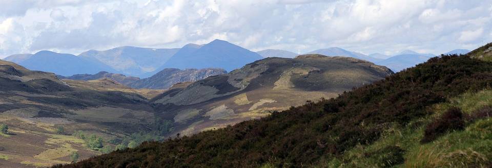
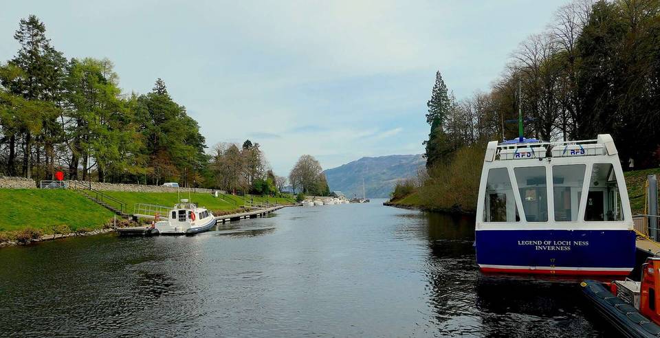
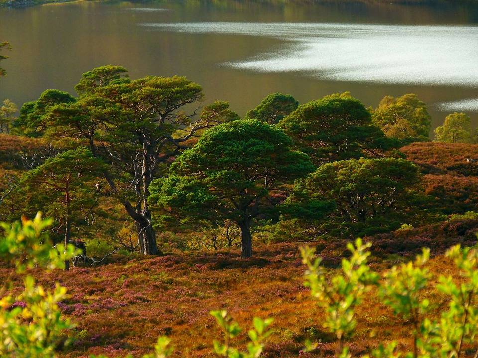
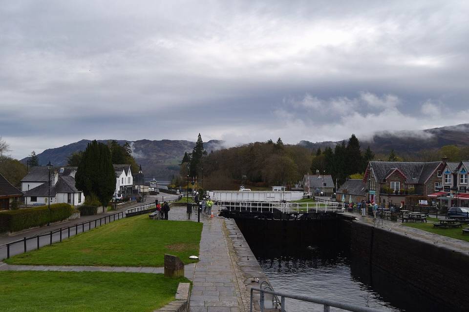
2 photographs from the road

Photo: Bewahrerderwerte · CC BY-SA 4.0 · Wikimedia Commons · Photo: David Medcalf · CC BY-SA 2.0 · Wikimedia Commons · Photo: Dave Kelly · CC BY-SA 2.0 · Wikimedia Commons

More rides from Fort Augustus