Cyclists.com

Fort Augustus to Dornie

Fort Augustus, Highland, United KingdomGravel

Signed route The waymarked Highland Trail (part), traced from OpenStreetMap and measured against the terrain model; no member has recorded it yet. Stage 1 of 5 of the Highland Trail (part). Ridden it? Add your recording and photos.

86 km
Distance
1,433 m
Elevation gain
Hard
Difficulty
Mixed
Surface
Download GPXMap

Elevation profile

Total ascent
1,433 m
Distance
86 km
0200400600m0 km20406086 km549 m · highest, at 20.5 kmStartFinish

Route overview

Riders prepared for a long distance with significant climbing and mixed surfaces.

Stage 1 of 5 of the Highland Trail (part): 86.2 km from Fort Augustus to Dornie with 1433 m of climbing, on the signed route.

Starting near Fort Augustus, the route immediately begins climbing for 4.6 km at an average gradient of 7.5%, reaching 389 m above sea level. The road here is primarily track with some minor road sections later, including 4.4 km on main roads without cycle lanes and several climbs, the longest being 6.9 km at 6.2%. The highest point, 549 m, occurs around 18.8 km. The ride proceeds past several places such as Tomich, Athnamulloch, and Morvich before reaching Dornie at 82.1 km. Along the way, the surface is mostly gravel or unpaved (79%) with 19% paved. There is a long stretch of 75.5 km without cafés, shops or water lasting from near the start to Inverinate at 76.1 km. Fuel is available at the JET petrol station in Inverinate. Peaks near the route include Creag an Iarlain near the start, Càrn nan Earb at 19.5 km, and others. At the finish, cafés and pubs are available in Dornie. Toilets can be found at km 42 and close to the finish.

Highlights

  • Climb near Fort Augustus with max 13% gradient
  • Highest point at 549 m near 18.8 km
  • Long 75.5 km stretch without cafés or water
  • Lookout to Eilean Donan Castle near finish

Along the route

Measured from the recorded track and OpenStreetMap.

Places passed

  1. Tomich 28.7 km
  2. Athnamulloch 49.5 km
  3. Innis a' Chrotha 70 km
  4. Morvich 70.7 km
  5. Inverinate 76.1 km
  6. Keppoch 79 km
  7. Dornie 82.1 km

Climbs

ClimbStarts atLengthGainAverageMaxTop
0.6 km4.6 km345 m7.5 %13 %389 m
11.9 km6.9 km424 m6.2 %14.8 %549 m
30.2 km3.9 km205 m5.3 %11.7 %314 m
43.4 km1.5 km43 m3 %6.3 %295 m
56.1 km1.5 km60 m4.1 %6.8 %326 m
76.3 km3.1 km138 m4.4 %7.6 %173 m

High point 549 m at 18.8 km; low point 5 m. Passes beneath Creag an Iarlain, Cnoc Liath, Meall na Doire.

What this ride is like

Measured from OpenStreetMap along the track and the elevation profile.

Roads
70% track · 13% minor road · 9% path · 5% major road · 1% unmapped
Main roads
4.4 km on main roads without a cycle lane — likely busier
Fast roads
12.1 km on roads with a limit of 80 km/h or more
Main roads used
Carr Brae (6 km), A87 (4 km)
Surface
19% paved · 79% gravel or unpaved
Gradient
26% climbing · 31% descending · 42% flat
Steep sections
11.9 km over 5% · 5.1 km over 8% · 2.9 km over 10% · steepest 500 m averages 12.5% at 14.5 km
Longest descent
9.2 km from 20.5 km, dropping 435 m

Along the way

Within a few hundred metres of the track, from OpenStreetMap. Opening hours change — treat this as where to look, not a promise.

Longest stretch without a café, shop or water: 76 km, from 1 km to 76 km.

Food, water and shops

  1. 0.6 kmMiele's Gelato · ice cream · 400 m off route
  2. 0.6 kmSpar · convenience store · 400 m off route
  3. 0.6 kmPharmacy · 390 m off route
  4. 42 kmToilets · 280 m off route
  5. 76.1 kmJET · petrol station · 80 m off route
  6. 81.6 kmCoffee Shop · toilets · 160 m off route
  7. 82.1 kmThe Clachan · pub · 50 m off route

Worth a stop

  • 2 kmCreag an Iarlain (peak)
  • 73.2 kmDunan Diarmid, dun site (archaeological site)
  • 81.1 kmlookout to Eilean Donan Castle (viewpoint)

At the start

  • Miele's Gelato · ice cream · 760 m
  • Monster Fish and Chips · fast food · 760 m
  • Spar · convenience store · 780 m

At the finish

  • The Clachan · pub · 50 m
  • Dornie · pub · 80 m
  • All the Goodness · café · 380 m

Stay after this ride

  • Clachan B&B · guest house · 70 m from the finish
  • Dornie Hotel · hotel · 70 m from the finish
  • Sonas Carr Brae Dornie B&B · guest house · 90 m from the finish
  • Donan House · guest house · 220 m from the finish
  • Eilean Donan Apartments · guest house · 420 m from the finish

Practical information

Surface
Mixed
Route shape
Point to point
Riding time
7 h 11 min
Best months
Jun to Aug — daily highs of 17–18 °C in those months

Know before you go

  • 75.5 km without café, shop or water from 0.6 km to 76.1 km
  • 4.4 km on main roads without cycle lane
  • 12.1 km on roads with 80 km/h+ speed limits
  • 79% gravel or unpaved surface

Routes are for inspiration. Roads, surfaces and conditions change — check locally and ride within your limits.

2 photographs from the road

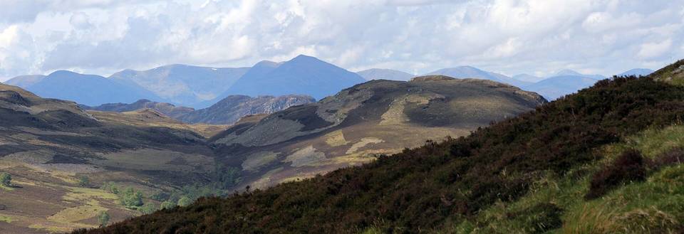
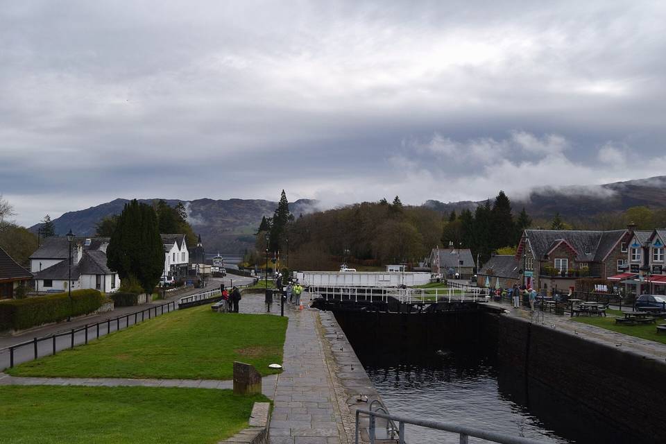
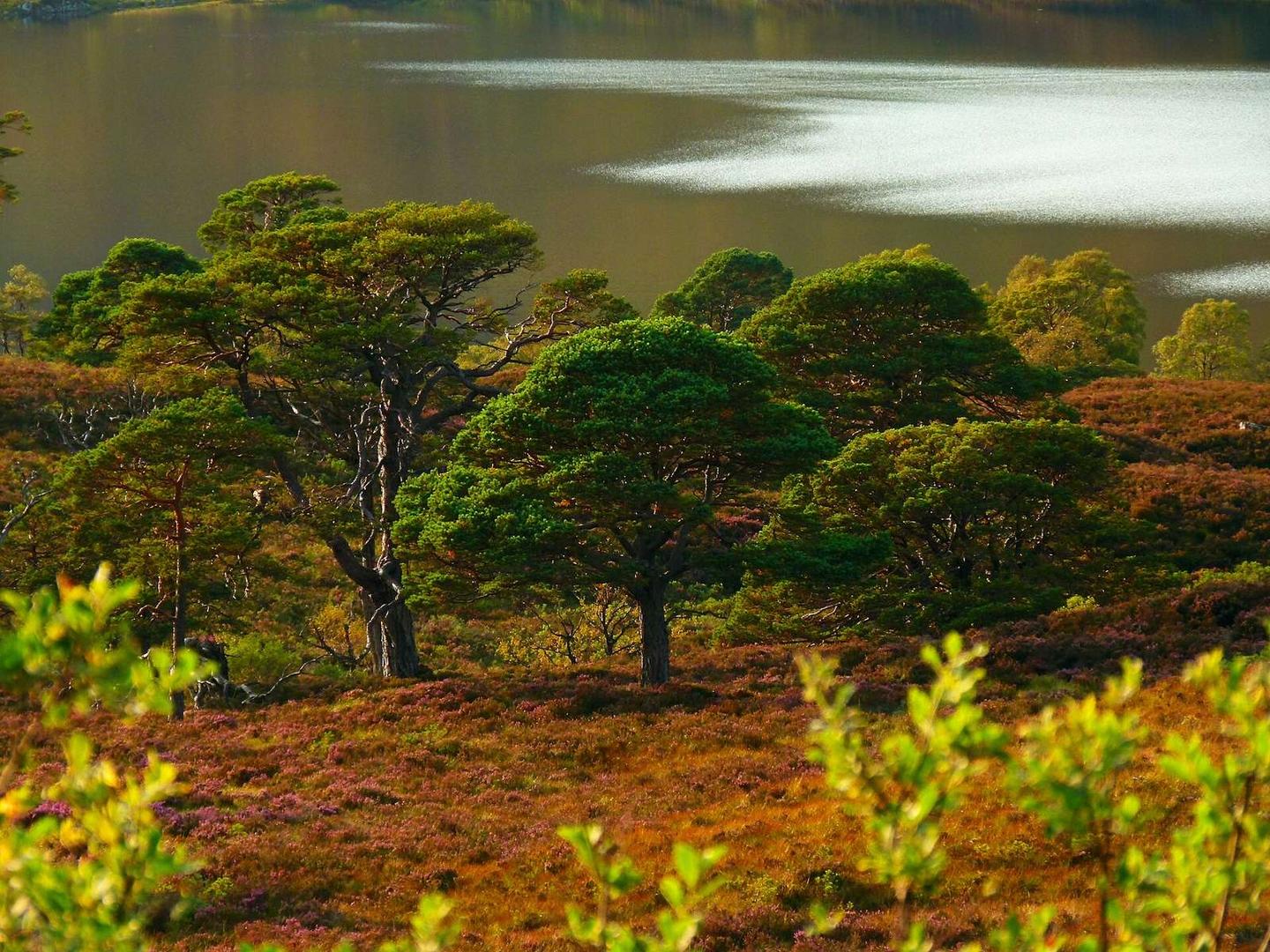
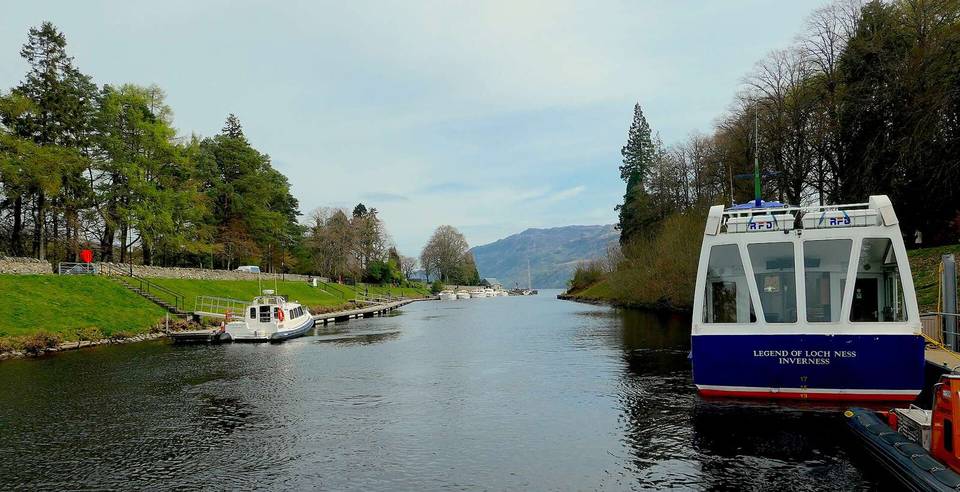
Photo: Dg-505 · CC BY 3.0 · Wikimedia Commons · Photo: Tim Heaton · CC BY-SA 2.0 · Wikimedia Commons · Photo: Peter Jeffery · CC BY-SA 2.0 · Wikimedia Commons

Stage of

More rides from Fort Augustus