Cyclists.com

Dornie to Kinlochewe

Dornie, Highland, United KingdomGravel

Signed route The waymarked Highland Trail (part), traced from OpenStreetMap and measured against the terrain model; no member has recorded it yet. Stage 2 of 5 of the Highland Trail (part). Ridden it? Add your recording and photos.

73 km
Distance
1,169 m
Elevation gain
Hard
Difficulty
Mixed
Surface
Download GPXMap

Elevation profile

Total ascent
1,169 m
Distance
73 km
0200400600800m0 km20406072 km643 m · highest, at 44.2 kmStartFinish

Route overview

Riders prepared for a long 72.5 km route with 1169 m of climbing, including steep sections and mixed surfaces.

Stage 2 of 5 of the Highland Trail (part): 72.5 km from Dornie to Kinlochewe with 1169 m of climbing, on the signed route.

The route starts at Dornie and heads through Ardelve, Conchra, Alt nan Sùbh, and Sallachy before reaching Attadale at 20.8 km. The road surface is mixed: 61% paved and 38% gravel or unpaved, with 44% of the ride on main roads including the A896 and A890 for 17.3 km and 13.6 km respectively. There are 32.3 km on main roads without cycle lanes, and 38.6 km on roads with speed limits above 80 km/h. Climbing is focused mainly in the first half, with 58% of the elevation gain before the halfway point. Major climbs include a 3.1 km section at 7.3% average from 12.1 km and two steep climbs of 5.1 km at 6.9% and 2.7 km at 9.6% between 34.6 km and 42.6 km, reaching the highest point at 646 m. Descents include a longest sustained descent lasting 6 km with a drop of 265 m. The route passes near peaks such as Sgorr Ruadh (962 m) and Beinn Liath Mhòr (926 m). Amenities at the start include multiple pubs, cafés, a bakery and fast food outlets. Food and drink stops along the way are limited, with cafes or restaurants at 0.8 km, 25.2 km (Strathcarron), and near the finish at 69.9 km. There is a 29.1 km stretch without shops, cafés or water from 25.2 km to 54.3 km. Bailout points with stations are at Attadale (21.4 km) and Achnashellach (36 km). Facilities like toilets and drinking water can be found at several points, notably around km 54.3 and at the finish in Kinlochewe at 70 km.

Highlights

  • Highest point at 646 m near km 42.6
  • Long 29.1 km stretch without café, shop or water (25.2-54.3 km)
  • Climbs up to 20% steepness near km 38.8
  • Passes beneath peaks Sgorr Ruadh (962 m) and Beinn Liath Mhòr (926 m)

Along the route

Measured from the recorded track and OpenStreetMap.

Places passed

  1. Conchra 3 km
  2. Alt nan Sùbh 6 km
  3. Sallachy 7.4 km
  4. Attadale 20.8 km
  5. Cam-allt 23.4 km
  6. Achintee 24.8 km
  7. Strathcarron 25.2 km
  8. New Kelso 25.9 km
  9. Coulags 29.8 km
  10. Balnacra 32 km
  11. Annat 52.8 km
  12. Torridon 54.3 km
  13. Kinlochewe 70 km

Climbs

ClimbStarts atLengthGainAverageMaxTop
9.3 km2.3 km43 m1.8 %3.2 %50 m
12.1 km3.1 km228 m7.3 %11 %276 m
20.8 km1.6 km57 m3.6 %7.8 %70 m
34.6 km5.1 km355 m6.9 %20 %388 m
39.9 km2.7 km256 m9.6 %16.1 %646 m

High point 646 m at 42.6 km; low point 2 m. Passes beneath Cnoc nan Each, Càrn Èite, Beinn Liath Mhor Far East Top.

What this ride is like

Measured from OpenStreetMap along the track and the elevation profile.

Roads
44% main road · 30% path · 11% minor road · 8% track
Main roads
32.3 km on main roads without a cycle lane — likely busier
Fast roads
38.6 km on roads with a limit of 80 km/h or more
Main roads used
A896 (17 km), A890 (14 km)
Surface
61% paved · 38% gravel or unpaved
Gradient
23% climbing · 23% descending · 54% flat
Steep sections
7.3 km over 5% · 5.3 km over 8% · 3.3 km over 10% · steepest 500 m averages 17.7% at 38.8 km
Longest descent
6 km from 15.9 km, dropping 265 m

Along the way

Within a few hundred metres of the track, from OpenStreetMap. Opening hours change — treat this as where to look, not a promise.

Longest stretch without a café, shop or water: 29 km, from 25 km to 54 km.

Food, water and shops

  1. 0.3 kmCoffee Shop · toilets · 180 m off route
  2. 0.8 kmAll the Goodness · café · 50 m off route
  3. 21.4 kmToilets · 140 m off route
  4. 25.2 kmStrathcarron Hotel · restaurant · 30 m off route
  5. 54.3 kmWater tap · 160 m off route
  6. 54.3 kmToilets · 160 m off route
  7. 69.9 kmThe Old Hall Cafe · café · 40 m off route
  8. 70 kmKinlochewe Village Stores · convenience store · 60 m off route
  9. 70 kmDrinking water · 200 m off route
  10. 70 kmToilets · 80 m off route
  11. 70 kmKinlochewe Service Station · petrol station · 130 m off route

Need to bail out?

  • 21.4 kmAttadale (station), on the route
  • 36 kmAchnashellach (station), on the route

Whether bikes are carried depends on the service — check before relying on it.

Worth a stop

  • 0 kmBroch site (archaeological site)

At the start

  • The Clachan · pub · 50 m
  • All the Goodness · café · 380 m
  • Dornie · pub · 80 m
  • Manuela's Wee Bakery · bakery · 870 m
  • PizzaJo · fast food · 850 m

At the finish

  • The Old Hall Cafe · café · 190 m
  • Kinlochewe Village Stores · convenience store · 60 m
  • The Coffee Shop · café · 140 m
  • Kinlochewe Service Station · convenience store · 140 m
  • Kinlochewe Hotel · pub · 140 m

Stay after this ride

  • Taransay B&B · guest house · 130 m from the finish
  • Kinlochewe Bunkhouse · hostel · 120 m from the finish
  • Beinn Eighe Campsite · campsite · 2.3 km from the finish

Practical information

Surface
Mixed
Route shape
Point to point
Riding time
6 h 03 min
Best months
Jun to Aug — daily highs of 16–17 °C in those months

Know before you go

  • 29.1 km with no café, shop or water from 25.2 km to 54.3 km
  • 32.3 km on main roads without cycle lanes
  • 38.6 km on roads with speed limits of 80 km/h or more
  • 38% of route on gravel or unpaved surface

Routes are for inspiration. Roads, surfaces and conditions change — check locally and ride within your limits.

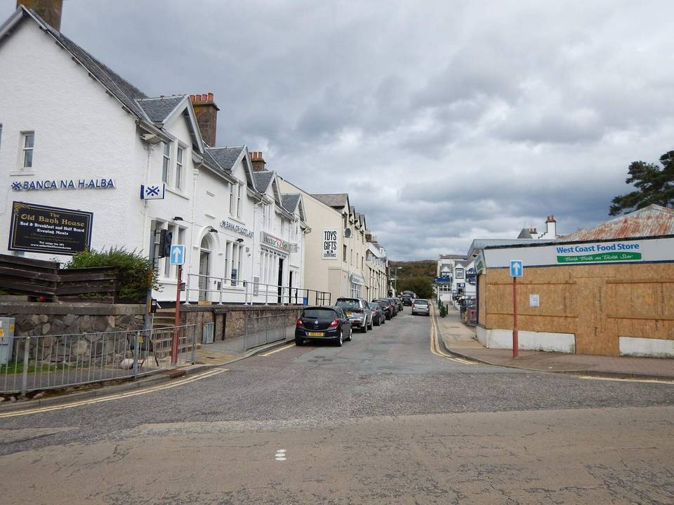
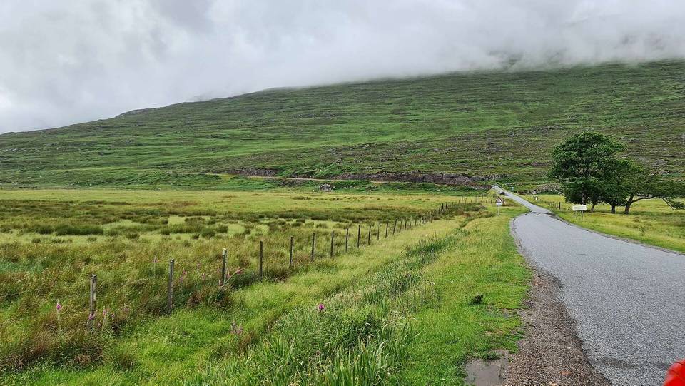
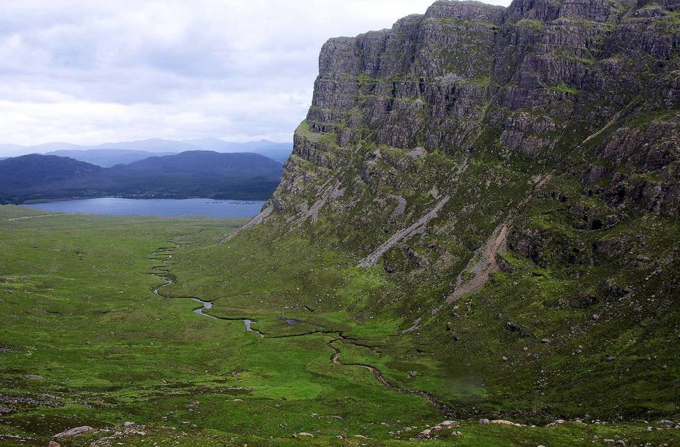
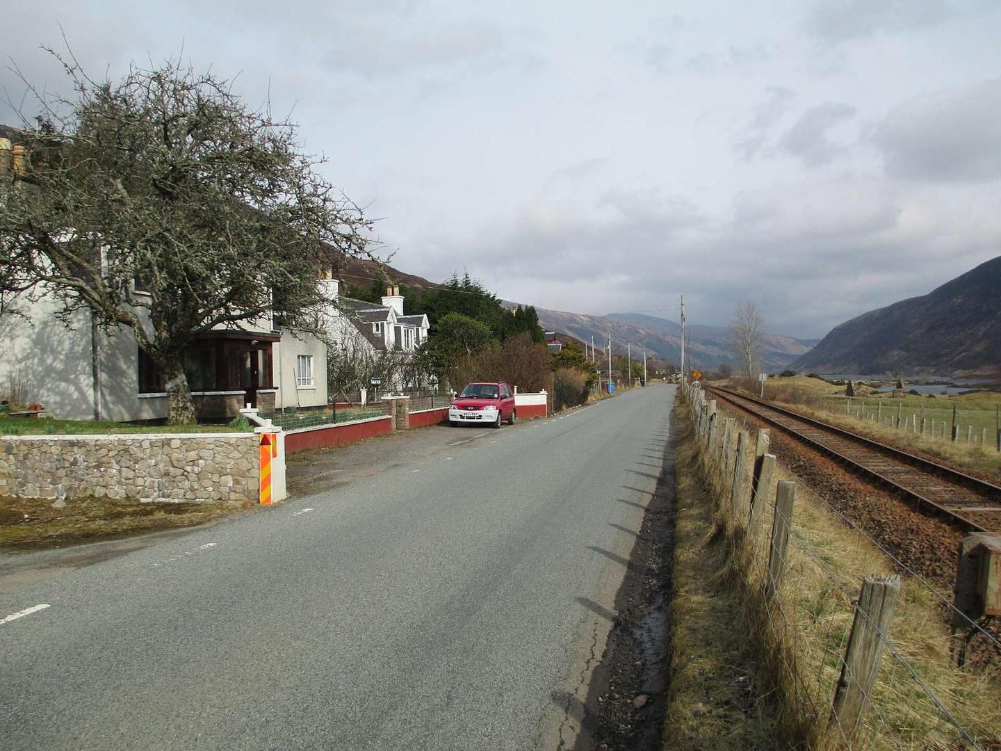
2 photographs from the road

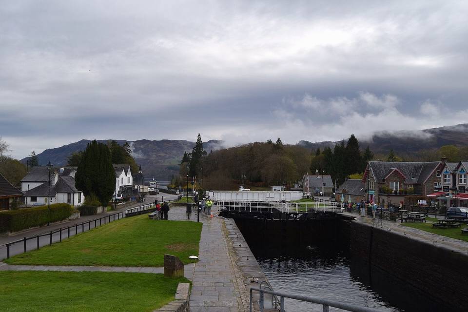
Photo: Jennifer Jones · CC BY-SA 2.0 · Wikimedia Commons · Photo: Alan Jamieson · CC BY-SA 3.0 · Wikimedia Commons · Photo: Noel Reynolds · CC BY 2.0 · Wikimedia Commons

Stage of