Cyclists.com

Glenelg to Fort Augustus

Glenelg, Highland, United KingdomGravel

Signed route The waymarked Scotland Trail (regional route), traced from OpenStreetMap and measured against the terrain model; no member has recorded it yet. Stage 2 of 6 of the Scotland Trail. Ridden it? Add your recording and photos.

88 km
Distance
1,093 m
Elevation gain
Hard
Difficulty
Mixed
Surface
Download GPXMap

Elevation profile

Total ascent
1,093 m
Distance
88 km
0100200300m0 km20406088 km261 m · highest, at 28.6 kmStartFinish

Route overview

Cyclists prepared for a moderate distance with substantial climbing and mixed surface conditions.

Stage 2 of 6 of the Scotland Trail: 88.0 km from Glenelg to Fort Augustus with 1093 m of climbing, on the signed route.

The ride starts in Glenelg, climbing immediately with a 1.8 km hill gaining 145 m at 7.9% average gradient which peaks at 157 m around 4 km in. After a brief 2.2 km climb of 44 m, the route passes Arnisdale at 15.9 km and continues through undulating terrain with climbs of 3.3 km and 2.3 km gaining 126 m and 97 m respectively. The steepest section is near 28 km with a short 1 km climb at 8.3% average and maximum of 13.4%, reaching the route's highest point at 261 m. The route surface is mixed with 67% paved and 33% gravel or unpaved sections. The roads are mostly minor roads (56%) and tracks (34%), with some path and quiet streets. It crosses over 46 km of roads rated 80 km/h or faster. After passing Kinloch Hourn at 29.4 km, there is a long 41.6 km stretch without café, shop or water until Greenfield at 60.7 km, then passes Mandally and Invergarry before reaching Fort Augustus at 85.3 km. There are cafés, shops, and petrol stations at both start and finish and some mid-route stops but none along the longest empty stretch. The profile is 22% climbing, 20% descending, and 58% flat, with multiple smaller climbs and a total elevation gain of 1093 m. The route is suitable for cyclists prepared for mixed surfaces and some steep gradients, with the majority of the climbing in the first half. Topographic highlights include the peak Màm nan Uranan near km 4 and passing beneath Bolinn Hill near km 66. Facilities at Fort Augustus offer multiple café and meal options.

Highlights

  • Climb reaching 261 m at 27.6 km
  • Màm nan Uranan peak near 4.2 km
  • Long 41.6 km stretch without café or water
  • Mixed surface with 33% gravel and unpaved

Along the route

Measured from the recorded track and OpenStreetMap.

Places passed

  1. Arnisdale 15.9 km
  2. Kinloch Hourn 29.4 km
  3. Tomdoun 54.6 km
  4. Inchlaggan 56.5 km
  5. Tornacarry 59.1 km
  6. Greenfield 60.7 km
  7. Mandally 71 km
  8. Invergarry 71.4 km
  9. Cullochy Lock 78.4 km
  10. Kytra Lock 81.6 km
  11. Fort Augustus 85.3 km

Climbs

ClimbStarts atLengthGainAverageMaxTop
2 km1.8 km145 m7.9 %10.4 %157 m
5.9 km2.2 km44 m2 %4.6 %155 m
18.4 km3.3 km126 m3.8 %11.2 %142 m
22.6 km2.3 km97 m4.3 %10 %232 m
26.6 km1 km85 m8.3 %13.4 %261 m
29.1 km3.9 km217 m5.5 %10.7 %223 m
60.3 km2.4 km100 m4.2 %5.9 %196 m
72.3 km1.2 km69 m6 %11.3 %133 m

High point 261 m at 27.6 km; low point 2 m. Passes beneath Màm nan Uranan, Bolinn Hill.

What this ride is like

Measured from OpenStreetMap along the track and the elevation profile.

Roads
56% minor road · 34% track · 6% path · 4% quiet street
Fast roads
46.2 km on roads with a limit of 80 km/h or more
Surface
67% paved · 33% gravel or unpaved
Gradient
22% climbing · 20% descending · 58% flat
Steep sections
7.8 km over 5% · 3.7 km over 8% · 0.7 km over 10% · steepest 500 m averages 12.1% at 28 km
Longest descent
2.3 km from 46 km, dropping 71 m

Along the way

Within a few hundred metres of the track, from OpenStreetMap. Opening hours change — treat this as where to look, not a promise.

Longest stretch without a café, shop or water: 42 km, from 29 km to 71 km.

Food, water and shops

  1. 0 kmGlenelg Inn · pub · 60 m off route
  2. 0 kmGlenelg Shop · convenience store · on the route
  3. 0 kmToilets · 140 m off route
  4. 29.4 kmKinlochhourn Farm · café · 170 m off route
  5. 71 kmGlengarry Community Hall · café · 380 m off route
  6. 73.7 kmGlengarry Filling Station · petrol station · 270 m off route
  7. 85.3 kmCaledonian Canal Centre · café · 50 m off route
  8. 85.3 kmSpar · convenience store · 110 m off route
  9. 85.3 kmTop Up Tap · drinking water · 130 m off route
  10. 85.3 kmToilets · 130 m off route
  11. 85.3 kmGreat Glen · petrol station · 110 m off route
  12. 85.3 kmPharmacy · 110 m off route

Worth a stop

  • 4.2 kmMàm nan Uranan (peak, 208 m)
  • 75.4 kmEilean Drynachan, Crannog (archaeological site)
  • 81.3 kmTorr Dhuin, dun site (archaeological site)

At the start

  • Glenelg Shop · convenience store · 20 m
  • Glenelg Inn · pub · 60 m

At the finish

  • Caledonian Canal Centre · café · 50 m
  • Nourish Ness Community Café · café · 50 m
  • Highland Ice Cream · ice cream · 50 m
  • The Lock Inn · restaurant · 50 m
  • Bothy Bite · restaurant · 60 m

Stay after this ride

  • Kintore · apartment · 160 m from the finish
  • Beaufort House B&B · guest house · 90 m from the finish
  • Lorien House B&B · guest house · 100 m from the finish
  • Caledonian House B&B · guest house · 120 m from the finish
  • The Holt B&B · guest house · 200 m from the finish

Practical information

Surface
Mixed
Route shape
Point to point
Riding time
7 h 20 min
Best months
Jun to Aug — daily highs of 16–17 °C in those months

Know before you go

  • 41.6 km without café, shop or water from 29.4 to 71 km
  • 46.2 km on roads with speed limit 80 km/h or more
  • 33% of route on gravel or unpaved surfaces
  • Steepest 500 m section at 12.1% near 28 km

Routes are for inspiration. Roads, surfaces and conditions change — check locally and ride within your limits.

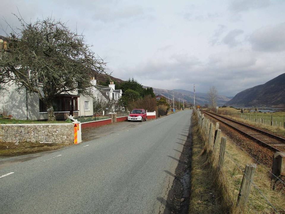
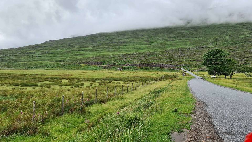
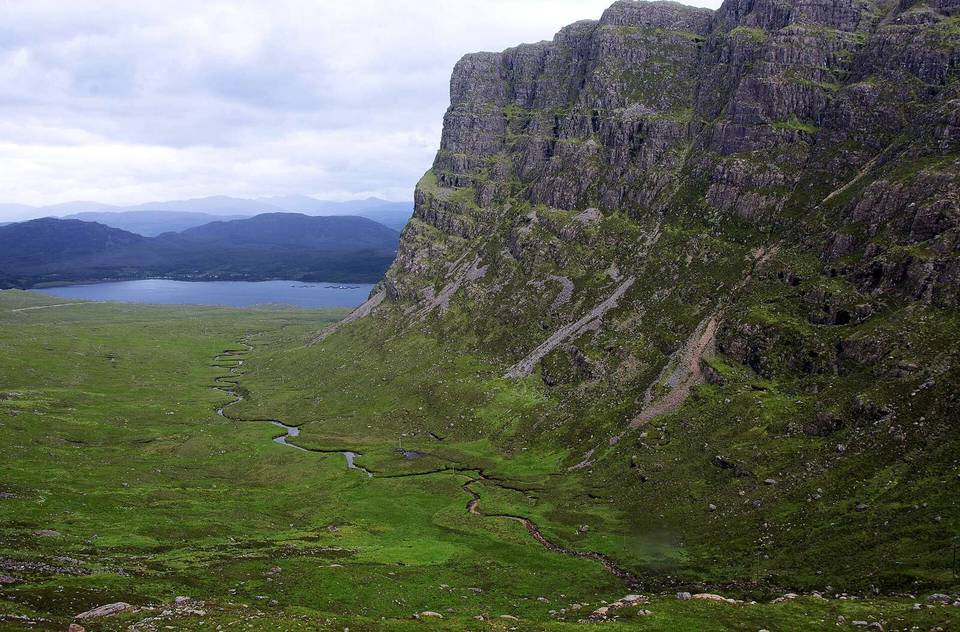
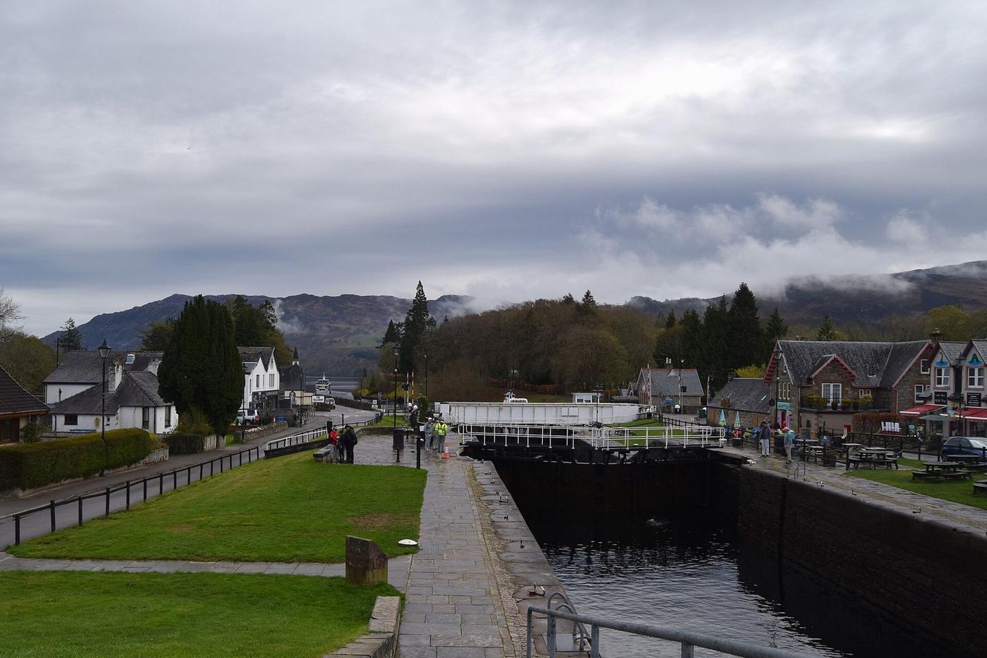
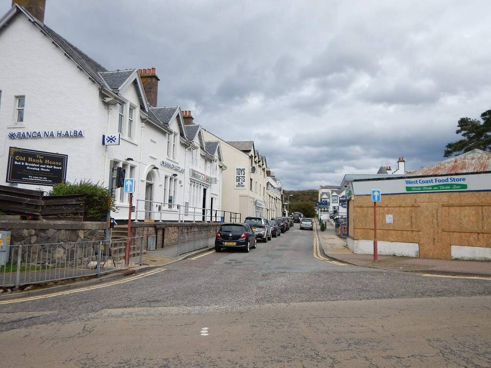
2 photographs from the road

Photo: John Myers · CC BY-SA 2.0 · Wikimedia Commons · Photo: David Medcalf · CC BY-SA 2.0 · Wikimedia Commons · Photo: Michael Earnshaw · CC BY-SA 2.0 · Wikimedia Commons

Stage of