Cyclists.com

Kyle of Lochalsh to Glenelg

Kyle of Lochalsh, Highland, United KingdomGravel

Signed route The waymarked Scotland Trail (regional route), traced from OpenStreetMap and measured against the terrain model; no member has recorded it yet. Stage 1 of 6 of the Scotland Trail. Ridden it? Add your recording and photos.

41 km
Distance
632 m
Elevation gain
Moderate
Difficulty
Mixed
Surface
Download GPXMap

Elevation profile

Total ascent
632 m
Distance
41 km
0100200300400m0 km10203041 km341 m · highest, at 31.5 kmStartFinish

Route overview

Suitable for riders comfortable with 632 m climbing over 41 km with sustained gradients up to 13.6%.

Stage 1 of 6 of the Scotland Trail: 41.3 km from Kyle of Lochalsh to Glenelg with 632 m of climbing, on the signed route.

The route starts in Kyle of Lochalsh, passing through places such as Glaick at 3.6 km, Balmacara at 4.6 km, and Dornie at 13.9 km. The first significant climb begins shortly after Dornie, from km 13.1 to 16.7, gaining 171 m with an average gradient of 4.8% and a maximum of 9.9%, reaching a height of 173 m. After the initial climb, the route continues past Inverinate at 20 km and Shiel Bridge at 26.4 km. A longer, steeper climb starts at km 26.8 and goes on for 4.6 km, climbing 332 m with an average gradient of 7.2% and a maximum of 13.6%, reaching the highest point of the route at 342 m at 31.4 km. This is followed by a long descent lasting 5 km down to 23.9 m. The final stretch leads to Glenelg at 41.1 km. The road surface is almost fully paved (99%) and mainly consists of minor and major roads, with 20.6 km on minor roads and 19.2 km on major roads, including 19.2 km on the A87. Most of the route (36.7 km) is on roads with speed limits of 80 km/h or more, and 19.3 km on main roads without a cycle lane. Food and drink can be found at Hector’s Bothy near the start, All the Goodness cafe at 13.1 km, The Wee Bun House at 25.4 km, and Glenelg Inn at the finish. There is also a longest stretch of 15.7 km with no café, shop or water from km 25.4 to 41.1.

Highlights

  • Two main climbs: 4.6 km at 7.2% average gradient
  • Highest point at 342 m near Mam Ratagan (31 km)
  • Views near Ard Hill (82 m) at 6.7 km
  • Long descent of 5 km starting at 31.6 km

Along the route

Measured from the recorded track and OpenStreetMap.

Places passed

  1. Glaick 3.6 km
  2. Balmacara 4.6 km
  3. Reraig 6 km
  4. Kirkton 7.7 km
  5. Auchtertyre 8.6 km
  6. Nostie 10.4 km
  7. Ardelve 12.2 km
  8. Dornie 13.9 km
  9. Keppoch 17 km
  10. Inverinate 20 km
  11. Ault-na-Chruinn 24.2 km
  12. Invershiel 25.4 km
  13. Shiel Bridge 26.4 km
  14. Scallasaig 36.9 km

Climbs

ClimbStarts atLengthGainAverageMaxTop
13.1 km3.6 km171 m4.8 %9.9 %173 m
26.8 km4.6 km332 m7.2 %13.6 %342 m

High point 342 m at 31.4 km; low point 0 m. Passes beneath Ard Hill.

What this ride is like

Measured from OpenStreetMap along the track and the elevation profile.

Roads
50% minor road · 47% major road · 2% quiet street
Main roads
19.3 km on main roads without a cycle lane — likely busier
Fast roads
36.7 km on roads with a limit of 80 km/h or more
Main roads used
A87 (19 km), Mam Ratagan (9 km), Carr Brae (6 km)
Surface
Paved throughout
Gradient
27% climbing · 32% descending · 41% flat
Steep sections
4.8 km over 5% · 2.3 km over 8% · 1.3 km over 10% · steepest 500 m averages 13.3% at 30.5 km
Longest descent
5 km from 31.6 km, dropping 304 m

Along the way

Within a few hundred metres of the track, from OpenStreetMap. Opening hours change — treat this as where to look, not a promise.

Longest stretch without a café, shop or water: 16 km, from 25 km to 41 km.

Food, water and shops

  1. 0 kmHector's Bothy · café · 40 m off route
  2. 0 kmCo-op Food · supermarket · 120 m off route
  3. 0 kmKyle of Lochalsh Community Toilets · toilets · 40 m off route
  4. 0 kmrightmedicine Pharmacy · pharmacy · on the route
  5. 0.3 kmCentral Filling Station · petrol station · on the route
  6. 6 kmSpar · convenience store · 40 m off route
  7. 6.1 kmToilets · 90 m off route
  8. 13.1 kmAll the Goodness · café · 50 m off route
  9. 14.4 kmCoffee Shop · toilets · 160 m off route
  10. 20.1 kmJET · petrol station · on the route
  11. 24.5 kmKintail Crafts · convenience store · 40 m off route
  12. 25.4 kmThe Wee Bun House · café · 40 m off route
  13. 41 kmToilets · on the route
  14. 41.1 kmGlenelg Inn · pub · 60 m off route
  15. 41.1 kmGlenelg Shop · convenience store · on the route

Need to bail out?

  • 0.1 kmKyle of Lochalsh (station), 80 m off route

Whether bikes are carried depends on the service — check before relying on it.

Worth a stop

  • 7.8 kmKirkton, dun site (archaeological site)
  • 14.9 kmlookout to Eilean Donan Castle (viewpoint)
  • 31 kmMam Ratagan (viewpoint)
  • 39.8 kmAn Dun, dun site (archaeological site)

At the start

  • Hector's Bothy · café · 60 m
  • Rafiki Coffee · café · 20 m
  • Kyle of Lochalsh · station · 160 m
  • The Islander · pub · 40 m
  • Co-op Food · supermarket · 120 m

At the finish

  • Glenelg Shop · convenience store · 20 m
  • Glenelg Inn · pub · 60 m

Stay after this ride

  • Duntrodden House · guest house · 2.8 km from the finish

Practical information

Surface
Mixed
Route shape
Point to point
Riding time
3 h 26 min
Best months
Jul to Aug — daily highs of 16 °C in those months

Know before you go

  • 15.7 km without café, shop or water from 25.4 km
  • 19.3 km on main roads without cycle lanes
  • 36.7 km on roads with 80 km/h speed limits

Routes are for inspiration. Roads, surfaces and conditions change — check locally and ride within your limits.

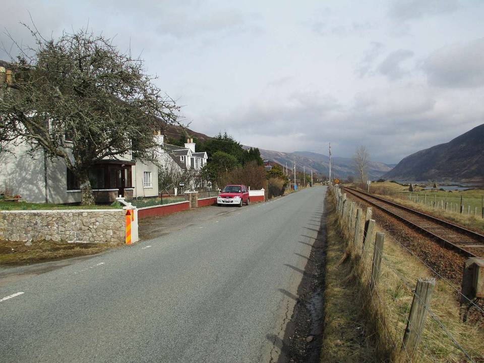
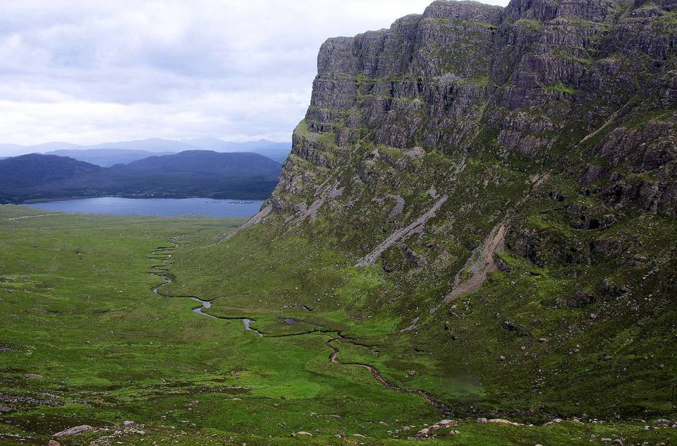
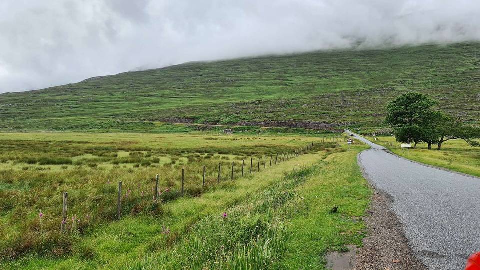
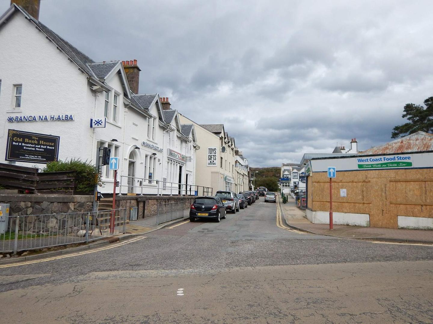
2 photographs from the road

Photo: James Emmans · CC BY-SA 2.0 · Wikimedia Commons · Photo: David Medcalf · CC BY-SA 2.0 · Wikimedia Commons · Photo: Colin Park · CC BY-SA 2.0 · Wikimedia Commons

Stage of