
Applecross from Lochcarron
- 29 km
- 748 m
- Moderate
- Paved
Elevation profile
- 748 m
- 29 km
Route overview
Riders suited to moderate distance with significant sustained climbing of 748 m over 28.7 km.
28.7 km point-to-point cycle from Lochcarron to Applecross with 748 m climbing on paved roads in the UK.
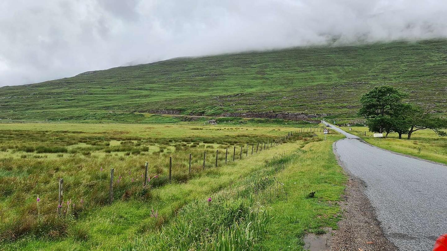
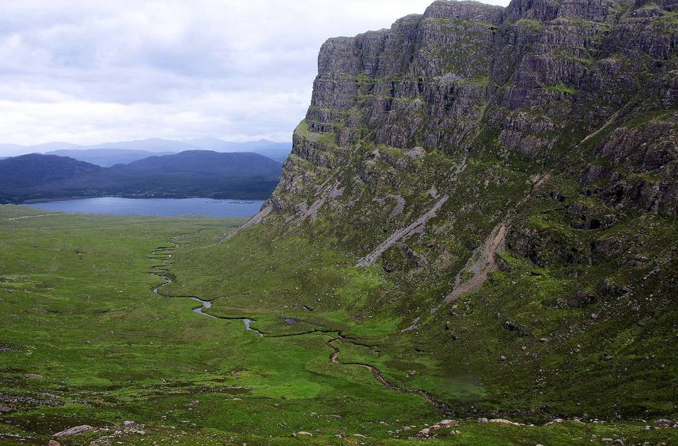
The route starts at Lochcarron and heads for Sanachan and Kishorn before passing through Ardarroch and finishing at Applecross. It includes two climbs: the first begins at 0.9 km and rises 132 m over 2.4 km at an average gradient of 5.4%, and the second starts at 12 km, soaring 606 m over 8.5 km averaging 7.2%, with a maximum gradient of 13.7%, reaching 622 m altitude around 20.5 km. The road surface is fully paved. The route combines 62% minor roads and 36% main roads, primarily along the C1087 and A896. The entire 10.3 km on main roads lacks cycle lanes. Fast roads with speed limits 80 km/h or higher run for 27.1 km. The route features 38% climbing, 41% descending and 21% flat; a long descent of 8.1 km starts at 20.6 km. Food and drink options are found near the start at Lochcarron, including the Waterside Cafe at 0.8 km and a Spar supermarket at 0.6 km. The Bealach Café & Gallery is just off route at 10.9 km. Beyond 10.9 km to the finish at 28.6 km, there is a longest stretch of 17.7 km without cafes, shops or water. At Applecross, The Junction bar and a petrol station are near the finish.
Highlights
- Bealach na Bà viewpoint at 20.7 km
- Climb reaching 622 m altitude at 20.5 km
- Peaks near the route: Sgùrr a' Chaorachain 792 m
- First climb at 0.9 km gains 132 m
Along the route
Places passed
Climbs
| Climb | Starts at | Length | Gain | Average | Max | Top |
|---|---|---|---|---|---|---|
| — | 0.9 km | 2.4 km | 132 m | 5.4 % | 7.8 % | 141 m |
| Lochcarron climb | 12 km | 8.5 km | 606 m | 7.2 % | 13.7 % | 622 m |
Lochcarron climb · starts at 12 km
What this ride is like
- Roads
- 62% minor road · 36% main road · 2% quiet street
- Main roads
- 10.3 km on main roads without a cycle lane — likely busier
- Fast roads
- 27.1 km on roads with a limit of 80 km/h or more
- Main roads used
- C1087 (18 km), A896 (10 km)
- Surface
- Paved throughout
- Gradient
- 38% climbing · 41% descending · 21% flat
- Steep sections
- 8.1 km over 5% · 3.4 km over 8% · 1.1 km over 10% · steepest 500 m averages 13.4% at 18.5 km
- Longest descent
- 8.1 km from 20.6 km, dropping 590 m
Along the way
Longest stretch without a café, shop or water: 18 km, from 11 km to 29 km.
Food, water and shops
- 0.5 kmToilets · on the route
- 0.6 kmSpar · supermarket · on the route
- 0.6 kmPetrol station · on the route
- 0.8 kmWaterside Cafe · café · 30 m off route
- 10.9 kmThe Bealach Café & Gallery · café · 40 m off route
- 28.6 kmThe Junction · bar · 250 m off route
- 28.6 kmPetrol station · 280 m off route
Worth a stop
- 8.9 km — Lag An Duin, broch site (archaeological site)
- 20.7 km — Bealach na Bà (viewpoint, 626 m)
At the start
- Waterside Cafe · café · 70 m
- Spar · supermarket · 120 m
- The Bistro · restaurant · 150 m
- Rockvilla Hotel · pub · 590 m
At the finish
- The Junction · bar · 250 m
- Applecross Inn · pub · 390 m
Stay after this ride
- Applecross Inn · hotel · 390 m from the finish
- Hartfield House · hostel · 2.3 km from the finish
Practical information
- Paved
- Point to point
- 2 h 03 min
Know before you go
- Longest stretch without café, shop or water 17.7 km from 10.9 to 28.6 km
- 10.3 km on main roads without cycle lane
- 27.1 km on roads with speed limit 80 km/h or higher
- Steepest 500 m at 18.5 km with 13.4% gradient
