
Road · United Kingdom
A mountainous 14 km road cycling route from Tornapress, Highland, with 616 m of climbing over the Lochcarron climb.
Starting near Tornapress at about 5 m elevation, the route immediately begins climbing at 1.3 km and continues ascending for 8.4 km gaining 605 m at an average gradient of 7.2%, with the steepest section reaching 13.7%. The highest point is at 622 m reached around 9.7 km. The route then descends for 3.9 km dropping 418 m.
The entire 13.7 km route is on paved minor roads, mainly the C1087. Despite the minor road status, all 13.8 km traveled are classified as fast roads with speed limits over 80 km/h. The first half of the ride has 74% of the total elevation gain. The gradient statistics show 6.3 km climbing over 5%, including 3.3 km over 8%, and 1.1 km exceeding 10%.
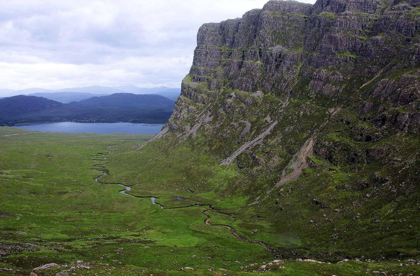
There are no cafés, shops, water points, or bike shops directly on the route. The closest food and drink option, The Bealach Café & Gallery, lies 31 m off route near the start, as does the viewpoint Bealach na Bà near 9.9 km. There is no known facility to bail out. Peaks near the road include Sgùrr a' Chaorachain at 792 m (6.5 km), Meall Gorm at 708 m (8.3 km), and Creag Gorm at 608 m (10.6 km).
| Climb | Starts at | On this ride | Full ascent | Top on this ride |
|---|---|---|---|---|
| Lochcarron climb | 1.3 km | 8.4 km · 605 m · 7.2 % · max 13.7 % | 8.4 km · 606 m · 7.2 % | 622 m |