Cyclists.com

Kinlochewe to Ullapool

Kinlochewe, Highland, United KingdomGravel

Signed route The waymarked Highland Trail (part), traced from OpenStreetMap and measured against the terrain model; no member has recorded it yet. Stage 3 of 5 of the Highland Trail (part). Ridden it? Add your recording and photos.

73 km
Distance
1,552 m
Elevation gain
Hard
Difficulty
Mixed
Surface
Download GPXMap

Elevation profile

Total ascent
1,552 m
Distance
73 km
0200400600m0 km20406073 km519 m · highest, at 30.2 kmStartFinish

Route overview

This ride suits experienced cyclists comfortable with long distances and sustained climbing on mixed surfaces.

Stage 3 of 5 of the Highland Trail (part): 72.6 km from Kinlochewe to Ullapool with 1552 m of climbing, on the signed route.

Starting in Kinlochewe at 7 m elevation, the route heads north passing Incheril at 0.9 km and climbs early including a 1.5 km ascent from 4.7 km averaging 6.8% gradient with sections up to 14%. The road reaches Letterewe at 14.4 km, after which a 3.2 km climb averaging 8.7% lifts to 311 m. The highest point at 527 m occurs near 28.3 km, with nearby peaks like Carnan Ban and Ruadh-stac Beag around 26-29 km. From there the route descends and rises again, including climbs of 4.1 km at 8.3% starting at 22.9 km and 3.7 km at 7.1% starting at 40 km. The road surface is mostly unpaved, with 80% gravel or similar, mixed with paths (59%) and tracks (22%). The longest named road is the A835, ridden for 10.6 km. There are 11.5 km on main roads without cycle lanes, and 10.7 km on roads with speed limits of 80 km/h or greater. Passing through Auchlunachan, Croftown, Inverlael, Ardcharnich, Leckmelm, and Braes of Ullapool, the route finishes at Ullapool at 7 m. There are no cafes, shops, or water points along the route between km 0.3 and 69.1, so riders must prepare to start with supplies. Both start and finish towns offer multiple cafés, shops, petrol stations, and toilets. Ullapool also provides a bailout point by ferry terminal.

Highlights

  • Climbs up to 15.3% gradient near Letterewe
  • Peak elevation of 527 m near Carnan Ban and Ruadh-stac Beag
  • Longest named road is A835, 10.6 km
  • Finish at Ullapool ferry terminal

Along the route

Measured from the recorded track and OpenStreetMap.

Places passed

  1. Letterewe 14.4 km
  2. Auchlunachan 56.1 km
  3. Croftown 56.7 km
  4. Inverlael 58.5 km
  5. Ardcharnich 62 km
  6. Leckmelm 63.5 km
  7. Braes of Ullapool 67.7 km
  8. Ullapool 69.3 km

Climbs

ClimbStarts atLengthGainAverageMaxTop
4.7 km1.5 km105 m6.8 %14 %121 m
8.4 km1.8 km45 m2.5 %4.2 %93 m
14.1 km3.2 km283 m8.7 %15.3 %311 m
22.9 km4.1 km342 m8.3 %21 %514 m
40 km3.7 km261 m7.1 %12.1 %383 m
47.7 km4.9 km319 m6.4 %16.6 %398 m

High point 527 m at 28.3 km; low point 7 m. Passes beneath Carnan Ban, Ruadh-stac Beag, Carn a Bhreabadair.

What this ride is like

Measured from OpenStreetMap along the track and the elevation profile.

Roads
59% path · 22% track · 15% major road · 2% quiet street
Main roads
11.5 km on main roads without a cycle lane — likely busier
Fast roads
10.7 km on roads with a limit of 80 km/h or more
Main roads used
A835 (11 km)
Surface
20% paved · 80% gravel or unpaved
Gradient
29% climbing · 31% descending · 39% flat
Steep sections
12.4 km over 5% · 7.7 km over 8% · 5.1 km over 10% · steepest 500 m averages 19.5% at 26.5 km
Longest descent
4.9 km from 30.1 km, dropping 420 m

Along the way

Within a few hundred metres of the track, from OpenStreetMap. Opening hours change — treat this as where to look, not a promise.

Longest stretch without a café, shop or water: 69 km, from 0 km to 69 km.

Food, water and shops

  1. 0 kmThe Coffee Shop · café · 140 m off route
  2. 0 kmToilets · 80 m off route
  3. 0 kmKinlochewe Service Station · petrol station · 130 m off route
  4. 0.1 kmKinlochewe Village Stores · convenience store · 40 m off route
  5. 0.3 kmDrinking water · 80 m off route
  6. 69.1 kmJet · petrol station · 60 m off route
  7. 69.3 kmTea by the Sea · café · 150 m off route
  8. 69.3 kmUllapool Unpacked · supermarket · 260 m off route
  9. 69.3 kmBoots · pharmacy · 280 m off route

Need to bail out?

  • 69.3 kmUllapool Ferry Terminal (ferry), 330 m off route

Whether bikes are carried depends on the service — check before relying on it.

At the start

  • Kinlochewe Village Stores · convenience store · 60 m
  • The Coffee Shop · café · 140 m
  • Kinlochewe Hotel · pub · 140 m
  • The Old Hall Cafe · café · 190 m
  • Kinlochewe Service Station · convenience store · 140 m

At the finish

  • Ferry Boat Inn · pub · 60 m
  • Tea by the Sea · café · 150 m
  • Argyll · restaurant · 60 m
  • Cult Cafe · café · 290 m
  • Ullapool Unpacked · supermarket · 260 m

Stay after this ride

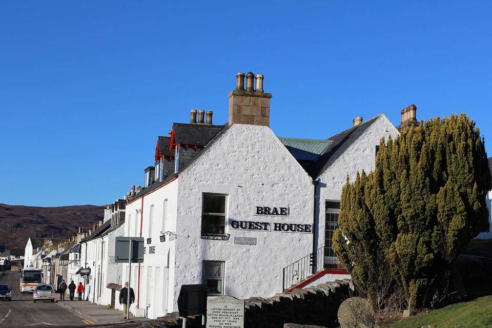
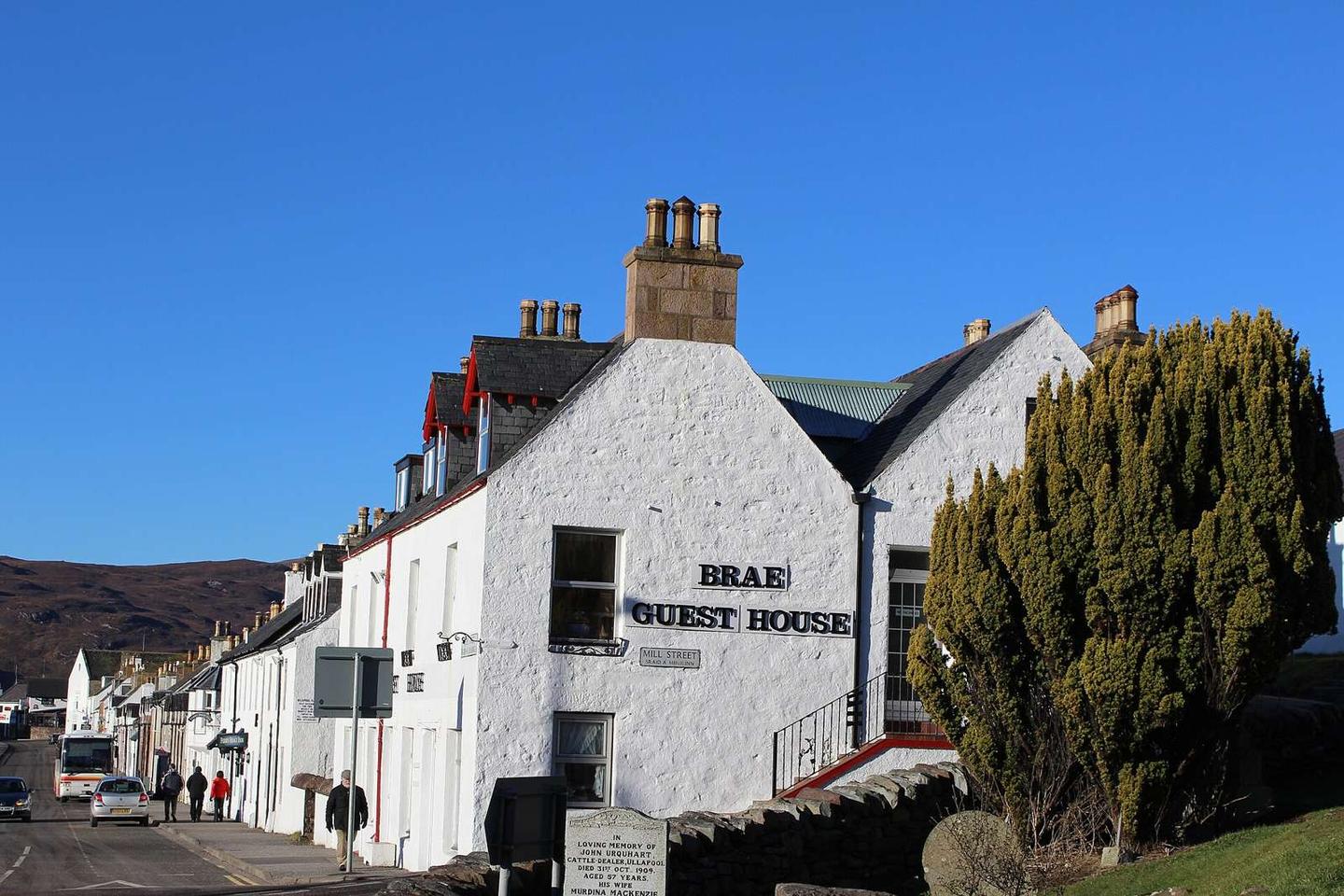
  • Brae Guest House · guest house · 20 m from the finish
  • Argyll Hotel · hotel · 70 m from the finish
  • Royal Hotel · hotel · 90 m from the finish
  • Ullapool Youth Hostel · hostel · 100 m from the finish
  • Creagan Guesthouse B&B · guest house · 110 m from the finish

Practical information

Surface
Mixed
Route shape
Point to point
Riding time
6 h 03 min
Best months
Jun to Aug — daily highs of 16–17 °C in those months

Know before you go

  • No café, shop or water for 68.8 km from km 0.3 to 69.1
  • 11.5 km on main roads without a cycle lane
  • 10.7 km on fast roads with 80 km/h+ speed limits
  • 80% of route on gravel or unpaved surfaces

Routes are for inspiration. Roads, surfaces and conditions change — check locally and ride within your limits.

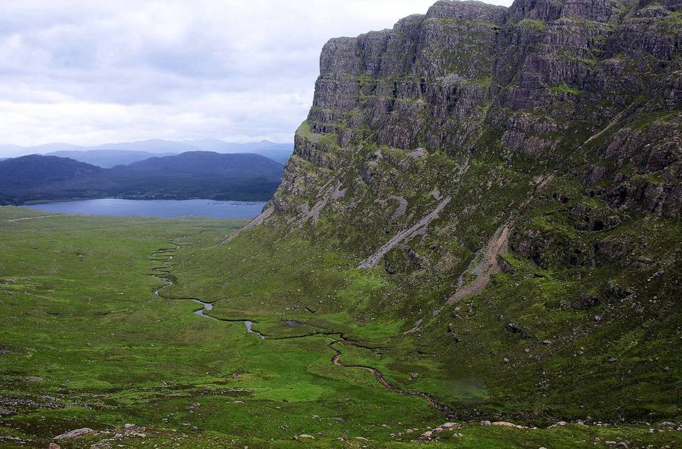
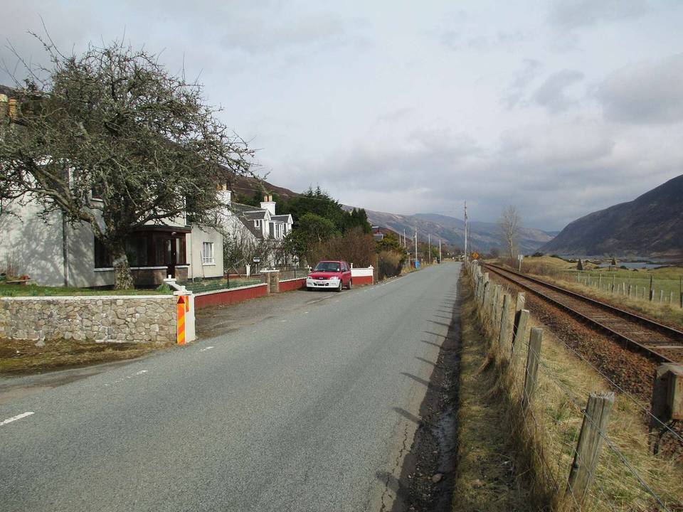
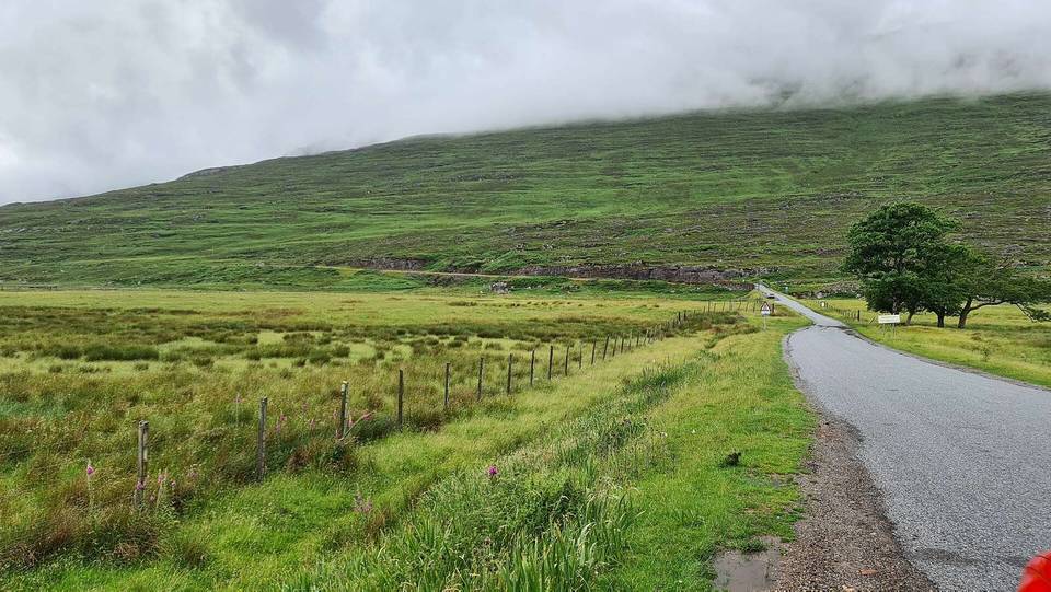
2 photographs from the road

Photo: Leslie Barrie · CC BY-SA 2.0 · Wikimedia Commons · Photo: Alan Jamieson · CC BY-SA 3.0 · Wikimedia Commons · Photo: Ibn Musa · CC BY-SA 2.0 · Wikimedia Commons

Stage of