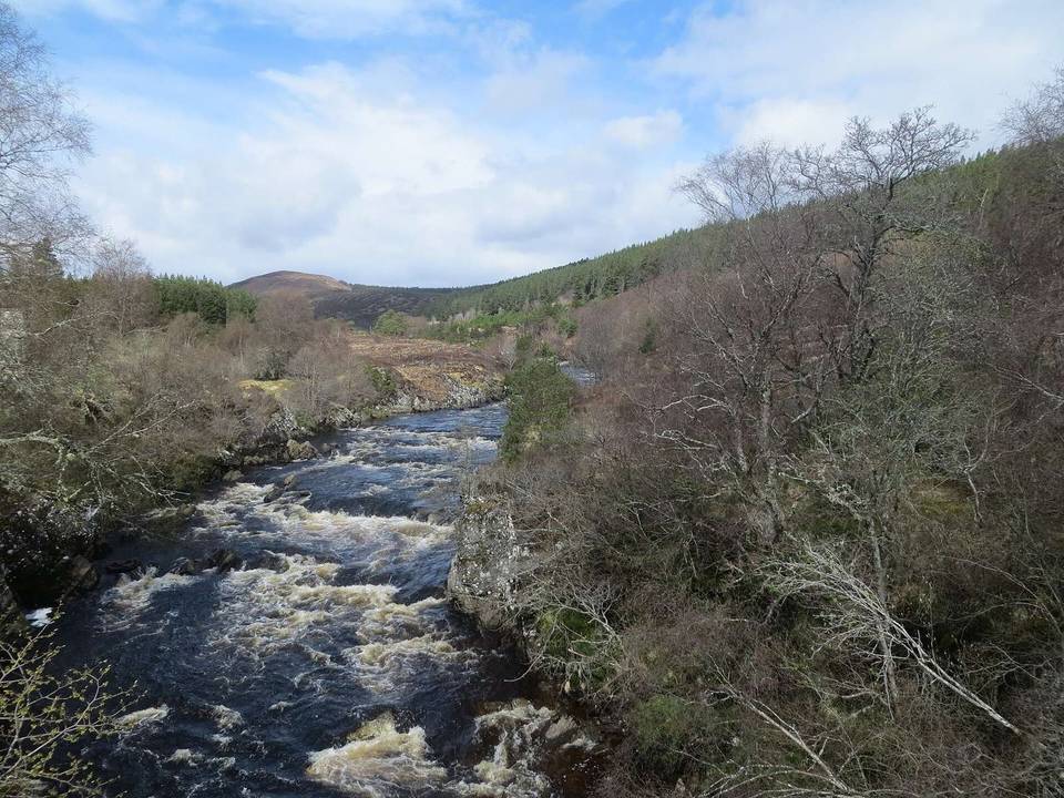
Ullapool to Contin
- 100 km
- 1,041 m
- Hard
- Mixed
Elevation profile
- 1,041 m
- 100 km
Route overview
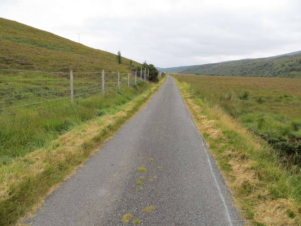
Suitable for riders comfortable with a long distance and significant climbing, mostly on gravel surfaces.
Stage 4 of 5 of the Highland Trail (part): 99.7 km from Ullapool to Contin with 1041 m of climbing, on the signed route.
Starting in Ullapool at 10 m elevation, the route initially climbs 153 m over 2.3 km at an average gradient of 6.8%, passing close to the peak of Meall Mòr (270 m at 2.3 km). The ride continues over mixed terrain dominated by gravel tracks (88% unpaved) with several climbs: a 2.4 km hill at 6.2%, a longer 4.1 km steady climb at 3%, and shorter ascents later reaching up to 87 m gain at 5.2%. The highest point is at 363 m around 58.3 km, near Meall a' Chaorainn (632 m).
Highlights
- Meall Mòr peak near start
- Climb up to 363 m at km 58.3
- Croick archaeological site at 40.8 km
- Rogie Falls near Contin at 92.9 km
Along the route
Places passed
Climbs
| Climb | Starts at | Length | Gain | Average | Max | Top |
|---|---|---|---|---|---|---|
| — | 0 km | 2.3 km | 153 m | 6.8 % | 11.7 % | 164 m |
| — | 12.4 km | 2.4 km | 147 m | 6.2 % | 13.3 % | 255 m |
| — | 26.7 km | 4.1 km | 124 m | 3 % | 6.5 % | 226 m |
| — | 45 km | 2.4 km | 58 m | 2.5 % | 5.4 % | 190 m |
| — | 56.6 km | 1.7 km | 87 m | 5.2 % | 7.8 % | 363 m |
| — | 67 km | 1.6 km | 82 m | 5.2 % | 7.7 % | 345 m |
What this ride is like
- Roads
- 74% track · 13% quiet street · 6% minor road · 5% path
- Main roads
- 1.4 km on main roads without a cycle lane — likely busier
- Fast roads
- 6.4 km on roads with a limit of 80 km/h or more
- Surface
- 8% paved · 88% gravel or unpaved
- Gradient
- 20% climbing · 23% descending · 57% flat
- Steep sections
- 5.1 km over 5% · 1.5 km over 8% · 0.5 km over 10% · steepest 500 m averages 11.8% at 14.2 km
- Longest descent
- 4 km from 84.5 km, dropping 98 m
Along the way
Longest stretch without a café, shop or water: 77 km, from 0 km to 77 km.
Food, water and shops
- 0 kmTea by the Sea · café · 150 m off route
- 0 kmUllapool Unpacked · supermarket · 260 m off route
- 0 kmJet · petrol station · 80 m off route
- 0 kmBoots · pharmacy · 280 m off route
- 77.3 kmRiver Black Water Inn · pub · 200 m off route
- 95.5 kmContin Stores · convenience store · 60 m off route
- 95.5 kmJET · petrol station · 180 m off route
Need to bail out?
- 0 km — Ullapool Ferry Terminal (ferry), 330 m off route
- 86.1 km — Garve (station), 890 m off route
Worth a stop
- 2.3 km — Meall Mòr (peak, 270 m)
- 8.1 km — Pairc A' Chlaiginn, Long Cairn (archaeological site)
- 40.8 km — Croick, broch (archaeological site)
- 92.9 km — Rogie Falls (attraction)
At the start
- Ferry Boat Inn · pub · 60 m
- Tea by the Sea · café · 150 m
- Argyll · restaurant · 60 m
- Cult Cafe · café · 290 m
- Ullapool Unpacked · supermarket · 260 m
At the finish
- Contin Stores · convenience store · 60 m
Stay after this ride
- Riverside Campsite · campsite · 110 m from the finish
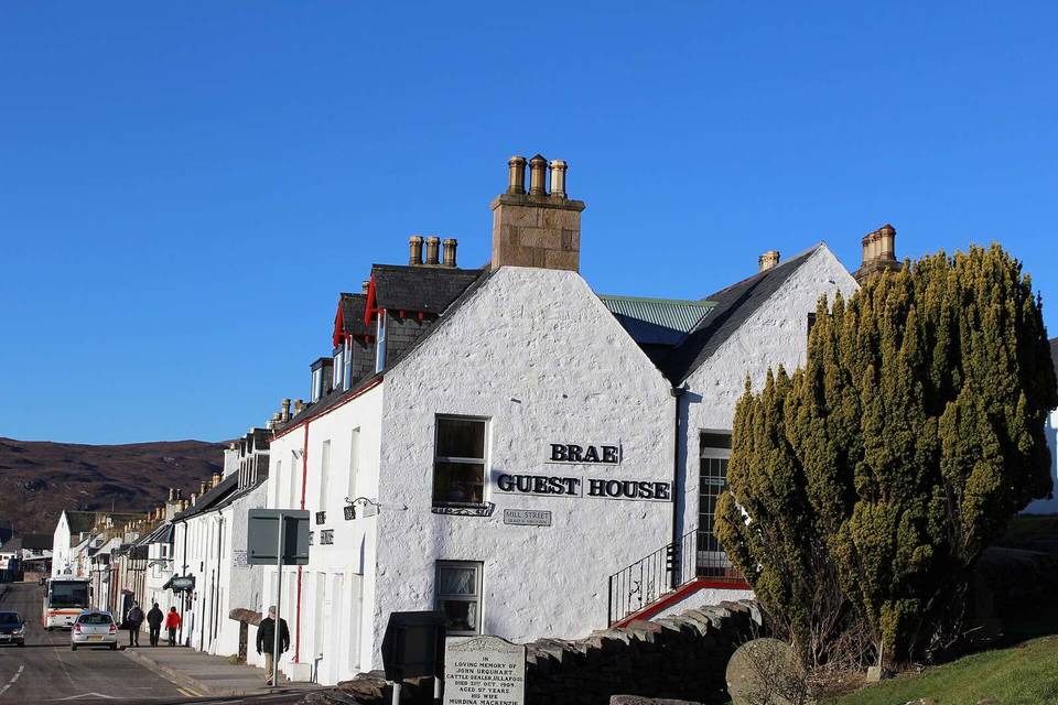
- Highland Hideaway · guest house · 150 m from the finish
- Coul House Hotel · hotel · 530 m from the finish
- Achilty House · guest house · 850 m from the finish
Practical information
- Mixed
- Point to point
- 8 h 19 min
- Jun to Aug — daily highs of 16–17 °C in those months
Know before you go
- Longest stretch without café, shop or water: 77.1 km from km 0.2 to 77.3
- 1.4 km on main roads without cycle lane
- 6.4 km on roads with 80 km/h+ speed limits
- 88% of route on gravel or unpaved surfaces