
Cyclists.com

Contin to Fort Augustus

Contin, Highland, United KingdomGravel

Signed route The waymarked Highland Trail (part), traced from OpenStreetMap and measured against the terrain model; no member has recorded it yet. Stage 5 of 5 of the Highland Trail (part). Ridden it? Add your recording and photos.

90 km
Distance
1,113 m
Elevation gain
Hard
Difficulty
Mixed
Surface
Download GPXMap

Elevation profile

Total ascent
1,113 m
Distance
90 km
0200400600m0 km2040608090 km501 m · highest, at 63.4 kmStartFinish

Route overview

Riders prepared for a long 90 km ride with over 1100 m climbing and mixed surface conditions.

Stage 5 of 5 of the Highland Trail (part): 89.9 km from Contin to Fort Augustus with 1113 m of climbing, on the signed route.

Starting in Contin, the route passes through Kinnahaird and Marybank before Fairburn at 7.8 km. The road features significant climbing early on, including a 2 km climb averaging 5.6% gradient from 6.2 km, and another 3.4 km climb averaging 3.4% from 8.8 km. It continues with gradual climbs past Struy at 35.7 km and Corrimony at 53 km, reaching the highest point of 510 m near 62.1 km. The surface is roughly half paved and half gravel or unpaved, with 58% on tracks and 19% on minor roads. There are 13.5 km on main or major roads combined, including 7.6 km on A831 and 4.2 km on A887. Main roads without cycle lanes total 16 km, and nearly 30 km are on roads with posted limits of 80 km/h or higher. From Struy to Invermoriston (35.7 to 76.4 km), there is a 40.7 km stretch without cafés, shops or water. Food and drink options are available at Balloan House Hotel near 4.1 km, The Struy Inn at 35.7 km, and Glen Rowan Café close to 76.4 km. Shops can be found at Contin at the start and Invermoriston near 76.7 km, which also offers water and toilets.

Highlights

  • Climb to 510 m near 62 km
  • Peaks near route: Cùl Mòr, Beinn an Rubha Riabhaich
  • Long 40.7 km with no café or shop after Struy
  • Pass through villages: Struy, Corrimony, Invermoriston

Along the route

Measured from the recorded track and OpenStreetMap.

Places passed

  1. Marybank 4.1 km
  2. Fairburn 7.8 km
  3. Struy 35.7 km
  4. Corrimony 53 km
  5. Invermoriston 76.7 km

Climbs

ClimbStarts atLengthGainAverageMaxTop
6.2 km2 km109 m5.6 %9.3 %129 m
8.8 km3.4 km114 m3.4 %7.5 %236 m
15.3 km1.1 km52 m5 %7.3 %309 m
24.4 km1.5 km55 m3.6 %5.6 %384 m
44.9 km3.6 km150 m4.2 %8.2 %219 m
53.6 km2.6 km133 m5.1 %10.2 %286 m
57.7 km4.5 km232 m5.2 %9.5 %510 m
76.7 km1.2 km45 m3.8 %6.5 %89 m
85.2 km1.3 km45 m3.5 %6.4 %96 m

High point 510 m at 62.1 km; low point 11 m. Passes beneath Cùl Mòr, Beinn an Rubha Riabhaich, Beinn nam Fitheach.

What this ride is like

Measured from OpenStreetMap along the track and the elevation profile.

Roads
58% track · 19% minor road · 10% main road · 8% major road
Main roads
16 km on main roads without a cycle lane — likely busier
Fast roads
29.9 km on roads with a limit of 80 km/h or more
Main roads used
A831 (8 km), A887 (4 km)
Surface
47% paved · 53% gravel or unpaved
Gradient
24% climbing · 22% descending · 55% flat
Steep sections
9 km over 5% · 2.1 km over 8% · 0.3 km over 10% · steepest 500 m averages 9.9% at 56.2 km
Longest descent
8.3 km from 66.4 km, dropping 416 m

Along the way

Within a few hundred metres of the track, from OpenStreetMap. Opening hours change — treat this as where to look, not a promise.

Longest stretch without a café, shop or water: 41 km, from 36 km to 76 km.

Food, water and shops

  1. 0 kmContin Stores · convenience store · 60 m off route
  2. 0.1 kmJET · petrol station · 50 m off route
  3. 4.1 kmBalloan House Hotel · pub · 300 m off route
  4. 35.7 kmThe Struy Inn · restaurant · 160 m off route
  5. 76.4 kmGlen Rowan Cafe · café · on the route
  6. 76.7 kmInvermoriston Community Store · convenience store · 30 m off route
  7. 76.7 kmSt Columba's Well · spring · 30 m off route
  8. 76.7 kmToilets · 40 m off route
  9. 87 kmPharmacy · 790 m off route

Worth a stop

  • 25.6 kmCnoc Eille Mor (peak, 403 m)
  • 33.8 kmErchless Castle (castle)
  • 53.2 kmCorrimony Cairn (archaeological site)
  • 62.7 kmShooting Bothy (ruins)
  • 67.4 kmMeall na Faiche (peak, 498 m)
  • 85.9 kmCherry Island, Crannog (archaeological site)

At the start

  • Contin Stores · convenience store · 60 m

Stay after this ride

  • Appin House · guest house · 460 m from the finish
  • Rose Cottage B&B · guest house · 460 m from the finish
  • Sonas Bed and Breakfast · guest house · 470 m from the finish
  • Old Pier House · hotel · 480 m from the finish
  • Morag’s Lodge · hostel · 630 m from the finish

Practical information

Surface
Mixed
Route shape
Point to point
Riding time
7 h 30 min
Best months
Jun to Aug — daily highs of 17–18 °C in those months

Know before you go

  • 40.7 km without café, shop or water from km 35.7 to 76.4
  • 16 km on main roads without cycle lane
  • 29.9 km on roads with 80 km/h+ speed limits
  • 53% of route on gravel or unpaved surface

Routes are for inspiration. Roads, surfaces and conditions change — check locally and ride within your limits.

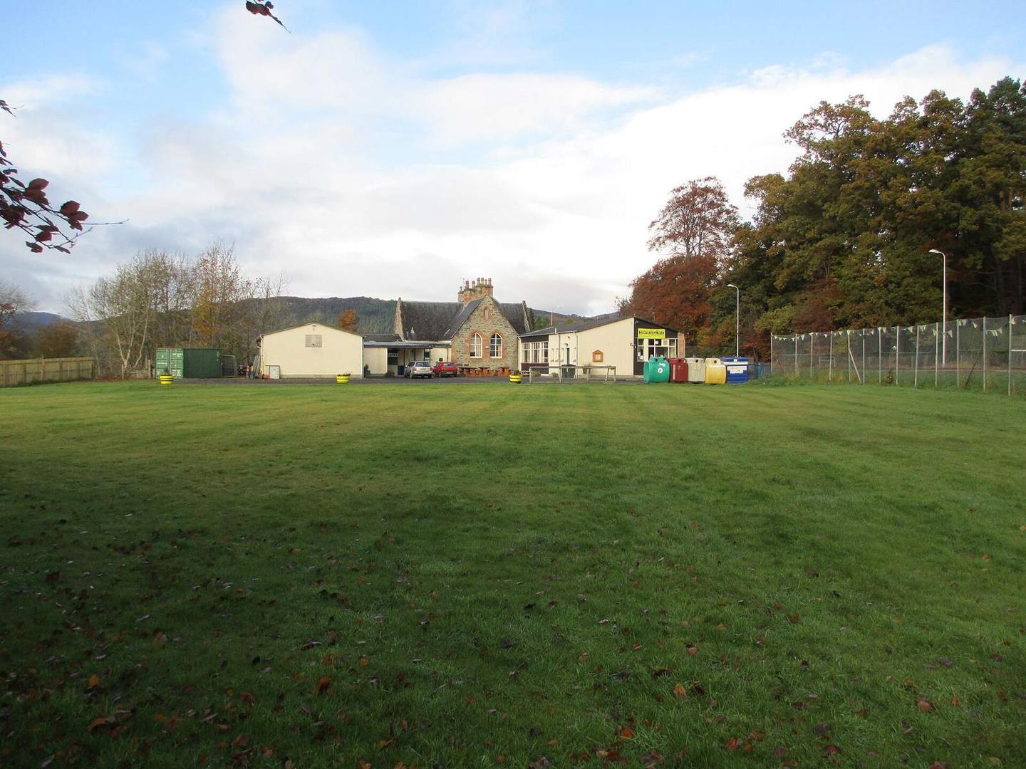
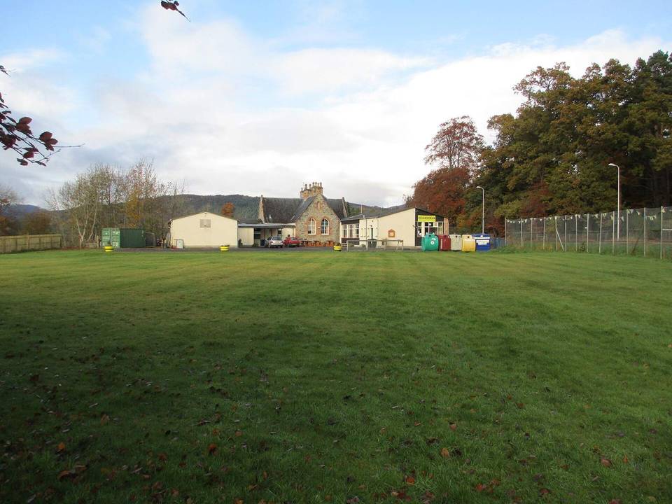
2 photographs from the road

Photo: Jennifer Jones · CC BY-SA 2.0 · Wikimedia Commons · Photo: Tim Heaton · CC BY-SA 2.0 · Wikimedia Commons · Photo: Peter Wood · CC BY-SA 2.0 · Wikimedia Commons

Stage of

More rides from Contin