
Gravel · United Kingdom
Stage 1 of 3 · Great North Trail (John O' Groats)Stage 2 →
A hilly 83 km gravel route from Rosehall, Highland to Altnaharra through West Merkland, with 751 m of climbing. There is a 72 km stretch without a café, shop or water (km 10–82). Mixed surface: 79% is mapped as paved and 20% as gravel or unpaved.
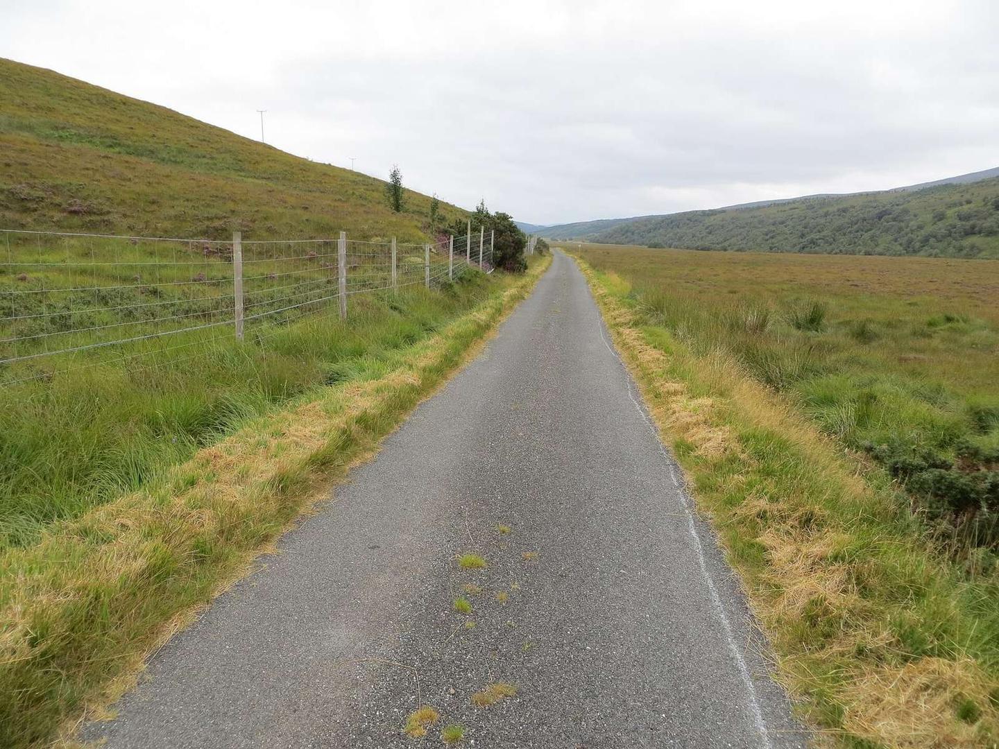
Starting near Rosehall, the route heads out with the Oykel Bridge Hotel close by. It passes West Merkland at 51.7 km before finishing in Altnaharra at 81.5 km. The terrain features a mixture of road types: around 39% minor roads, 21% main roads (all without cycle lanes), 20% tracks, and 19% quiet streets. The route contains 20% gravel or unpaved surface. The longest named roads ridden are Strathmore Hope Road for 14.2 km, followed by the A837 for 9.2 km and the A838 for 8.2 km.
Climbing is mainly in the first half, which accounts for 60% of the elevation gain of 751 m. Four main climbs occur starting at km 27.7, km 31, km 51, and km 65.8, with the steepest 500 m stretch at 9.1% located near km 33. The highest point is 409 m at 34.1 km, beneath Maovally (511 m). The longest descent of 6.1 km drops 186 m starting at 58.9 km. Of note, there is a very long stretch of 71.8 km with no café, shop or water from km 9.7 to 81.5. The ride passes near archaeological site Achaneas Broch at km 9.9, close to Achness Hotel / Pub which is slightly off-route.
| Climb | Starts at | On this ride | Top on this ride |
|---|---|---|---|
| Unnamed climb | 27.7 km | 2 km · 81 m · 4.2 % · max 8.7 % | 198 m |
| Unnamed climb | 31 km | 2.8 km · 203 m · 7.2 % · max 10.2 % | 404 m |
| Unnamed climb | 51 km | 3.6 km · 136 m · 3.8 % · max 6.7 % | 256 m |
| Unnamed climb | 65.8 km | 1.6 km · 87 m · 5.6 % · max 7.4 % | 121 m |
Expect stretches on main roads without a cycle lane (17.5 km in all) between quieter sections.
The longest stretch without a café, shop or water is 72 km, from km 10 to 82. Along the route: 3 cafés and restaurants.