
Cyclists.com

Altnaharra to Watten

Altnaharra, Highland, United KingdomGravel

Signed route The waymarked Great North Trail (John O' Groats) (Cycling UK), traced from OpenStreetMap and measured against the terrain model; no member has recorded it yet. Stage 2 of 3 of the Great North Trail (John O' Groats). Ridden it? Add your recording and photos.

108 km
Distance
594 m
Elevation gain
Hard
Difficulty
Mixed
Surface
Download GPXMap

Elevation profile

Total ascent
594 m
Distance
108 km
050100150200250m0 km255075108 km212 m · highest, at 65.5 kmStartFinish

Route overview

Suitable for riders able to manage 108 km distance with moderate climbing of 594 m.

Stage 2 of 3 of the Great North Trail (John O' Groats): 108.3 km from Altnaharra to Watten with 594 m of climbing, on the signed route.

The route starts at Altnaharra and heads to Syre at 18.2 km, where the first climb begins. This 3.7 km climb averages 3.1% and gains 115 m up to 165 m. A second shorter climb follows between 25.4 km and 27.3 km with a 2.6% average gradient. The ride continues mostly on the B871, B873, A897, and B870 main roads for 73 km, all without cycle lanes, interspersed with 26.6 km of tracks and minor roads. Beyond Kinbrace at 43.1 km there is a bailout station, with refuges also at Forsinard (54.7 km) and Altnabreac (76.7 km). A longer 4.4 km climb starting at 60.8 km gains 139 m at an average of 3.2%, peaking at 211 m near Sletill Hill. The route then descends towards Watten at 107.2 km and 28 m altitude passing archaeological sites close to Mybster and Lochside. The surface is 75% paved and 25% gravel or unpaved. There is a longest stretch of 52.5 km without café, shop or water from Forsinard onwards. Water and toilets are available at Forsinard and Watten. The finish at Watten has a pub and a convenience store a short distance off route.

Highlights

  • Climb near Sletill Hill at 65 km height 211 m
  • Bailout station at Kinbrace 43 km
  • Longest stretch without café or water 52.5 km after Forsinard
  • Archaeological sites near Mybster 97.6 km

Along the route

Measured from the recorded track and OpenStreetMap.

Places passed

  1. Syre 18.2 km
  2. Badanloch Lodge 36.1 km
  3. Kinbrace 43.1 km
  4. Achentoul 45.4 km
  5. Lochside 47.4 km
  6. Forsinard 54.7 km
  7. Strathmore Lodge 88.2 km
  8. Westerdale 93.9 km
  9. Mybster 98.3 km
  10. Spittal 99.2 km
  11. Toftingall 100 km

Climbs

ClimbStarts atLengthGainAverageMaxTop
17.9 km3.7 km115 m3.1 %4.4 %165 m
25.4 km1.9 km48 m2.6 %3 %178 m
60.8 km4.4 km139 m3.2 %5.7 %211 m

High point 211 m at 65.2 km; low point 28 m. Passes beneath Càrn Gruama Beag, Sròn nan Èireannach, Sletill Hill.

What this ride is like

Measured from OpenStreetMap along the track and the elevation profile.

Roads
68% main road · 25% track · 6% minor road · 1% quiet street
Main roads
73 km on main roads without a cycle lane — likely busier
Fast roads
4.7 km on roads with a limit of 80 km/h or more
Main roads used
B871 (25 km), B873 (18 km), A897 (17 km), B870 (13 km)
Surface
75% paved · 25% gravel or unpaved
Gradient
15% climbing · 15% descending · 70% flat
Steep sections
0.6 km over 5% · steepest 500 m averages 7.6% at 0 km
Longest descent
4.6 km from 53.1 km, dropping 84 m

Along the way

Within a few hundred metres of the track, from OpenStreetMap. Opening hours change — treat this as where to look, not a promise.

Longest stretch without a café, shop or water: 53 km, from 55 km to 107 km.

Food, water and shops

  1. 30.2 kmGarvault House · restaurant · 380 m off route
  2. 54.7 kmDrinking water · on the route
  3. 54.7 kmToilets · 30 m off route
  4. 107.2 kmThe Brown Trout · pub · on the route
  5. 107.2 kmWoodside Village Store · convenience store · 90 m off route
  6. 107.2 kmToilets · 100 m off route

Need to bail out?

  • 43.1 kmKinbrace (station), 40 m off route
  • 54.7 kmForsinard (station), 40 m off route
  • 76.7 kmAltnabreac (station), 130 m off route

Whether bikes are carried depends on the service — check before relying on it.

Worth a stop

  • 10.5 kmCoill' Ach' a' Chùil Broch (archaeological site)
  • 94.1 kmTulach Buaile a' Chroic, Broch (archaeological site)
  • 97.6 kmMybster Broch (archaeological site)
  • 107.2 kmAlexander Bain Monument (monument)

At the finish

  • The Brown Trout · pub · 30 m
  • Woodside Village Store · convenience store · 90 m

Stay after this ride

  • Caithness Camping Pods · campsite · 3.7 km from the finish

Practical information

Surface
Mixed
Route shape
Point to point
Riding time
9 h 02 min
Best months
Jul to Aug — daily highs of 17 °C in those months

Know before you go

  • 73 km on main roads without cycle lanes
  • 4.7 km on roads with 80 km/h speed limit
  • 25% gravel or unpaved surface
  • No café, shop or water for 52.5 km after Forsinard

Routes are for inspiration. Roads, surfaces and conditions change — check locally and ride within your limits.

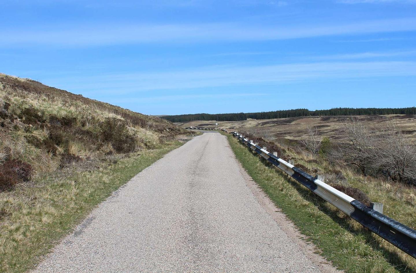
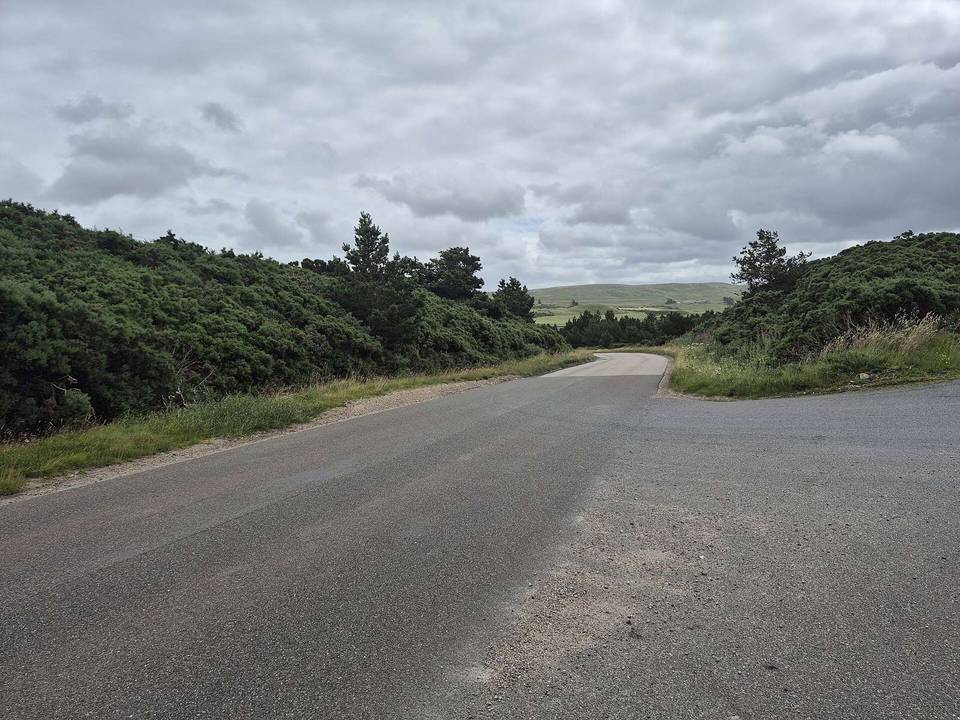
2 photographs from the road

Photo: Chris Heaton · CC BY-SA 2.0 · Wikimedia Commons · Photo: Rab McMurdo · CC BY-SA 2.0 · Wikimedia Commons · Photo: John Ferguson · CC BY-SA 2.0 · Wikimedia Commons

Stage of

More rides from Altnaharra