
Cyclists.com

Altnaharra to Thurso

Altnaharra, Highland, United KingdomRoad

Signed route The waymarked EuroVelo 12 from Inverness (EuroVelo EV12), traced from OpenStreetMap and measured against the terrain model; no member has recorded it yet. Stage 3 of 3 of the EuroVelo 12 from Inverness. Ridden it? Add your recording and photos.

95 km
Distance
940 m
Elevation gain
Hard
Difficulty
Paved
Surface
Download GPXMap

Elevation profile

Total ascent
940 m
Distance
95 km
050100150200250m0 km2040608095 km225 m · highest, at 6.4 kmStartFinish

Route overview

Suitable for riders capable of managing 95 km distance with 940 m climbing on mostly main roads.

Stage 3 of 3 of the EuroVelo 12 from Inverness: 94.8 km from Altnaharra to Thurso with 940 m of climbing, on the signed route.

Starting at Altnaharra (0 km), the route immediately begins climbing, with the first 4.3 km gaining 126 m at an average gradient of 2.9%, reaching 206 m elevation. After this initial climb, the route descends and undulates, passing Braetongue (24.5 km), Tongue (25.3 km), and Coldbackie (29.6 km). A series of moderate climbs occur between 30.5 km and 69.9 km; the longest is 3 km starting at 36 km with an average gradient of 3.3% and a maximum of 8.9%. The highest point of the ride is at 228 m around 6.6 km in. The route descends to its lowest point of 8 m at 44 km near Invernaver. The route primarily follows the A836 main road for 76 km, with a total of 83% of the ride on main roads and 14% on minor roads. Almost all the surface is paved, with only 1% unpaved. There are 78.1 km of main roads without cycle lanes, and 27.2 km of these roads have 80 km/h or higher speed limits. Places passed include Bettyhill at 46 km and Melvich at 66.6 km. Several cafés and pubs for stopovers or refuelling are near the route, including Weavers café at 28 km and The Café at Bettyhill at 46.9 km. There is a long stretch of 28 km from Altnaharra with no café, shop, or water. Thurso station at 93.6 km is a bailout point. Notable peaks near the road include Cnoc a' Mhòid (253 m) at 5.4 km, Ben Tongue (302 m) at 28 km, and Cnoc an Fhreiceadain (307 m) at 30.2 km, close to the midsection of the route. The route concludes at Thurso (93.7 km), which has several cafés, pubs, and restaurants as well as a bike shop and supermarket.

Highlights

  • Cnoc a' Mhòid near 5.4 km
  • Ben Tongue near 28 km
  • Cnoc an Fhreiceadain near 30.2 km
  • Bettyhill village at 46 km

Along the route

Measured from the recorded track and OpenStreetMap.

Places passed

  1. Braetongue 24.5 km
  2. Tongue 25.3 km
  3. Coldbackie 29.6 km
  4. Leckfurin 43.4 km
  5. Invernaver 43.9 km
  6. Achina 44.8 km
  7. Dalcharn 45.4 km
  8. Bettyhill 46 km
  9. Armadale 55.8 km
  10. Lednagullin 57.7 km
  11. Strathy 62.4 km
  12. Portskerra 65.8 km
  13. Melvich 66.6 km
  14. New Reay 76 km
  15. Reay 76.9 km
  16. Isauld 77.8 km
  17. Achvasadal 78.7 km
  18. Shebster 82.1 km
  19. Knockglass 85.9 km
  20. Westfield 86.8 km
  21. Janetstown 89.6 km
  22. Newlands of Geise 90.5 km

Climbs

ClimbStarts atLengthGainAverageMaxTop
0.3 km4.3 km126 m2.9 %5.3 %206 m
30.5 km1.5 km42 m2.8 %4.1 %100 m
36 km3 km101 m3.3 %8.9 %151 m
44.1 km1.7 km48 m2.8 %4.3 %56 m
46.9 km1.6 km68 m4.2 %7.1 %86 m
50.9 km1.5 km40 m2.8 %4.4 %152 m
56.2 km1.5 km65 m4.3 %7.4 %94 m
61.4 km1.9 km67 m3.5 %6.7 %81 m
68.6 km2.8 km73 m2.6 %3.8 %84 m

High point 228 m at 6.6 km; low point 8 m. Passes beneath Cnoc a' Mhòid, Ben Tongue, Cnoc an Fhreiceadain.

What this ride is like

Measured from OpenStreetMap along the track and the elevation profile.

Roads
83% main road · 14% minor road · 1% quiet street · 1% track
Main roads
78.1 km on main roads without a cycle lane — likely busier
Fast roads
27.2 km on roads with a limit of 80 km/h or more
Main roads used
A836 (76 km), C1001 (13 km)
Surface
Paved throughout
Gradient
25% climbing · 26% descending · 49% flat
Steep sections
3 km over 5% · steepest 500 m averages 7.9% at 38.1 km
Longest descent
4.3 km from 23.1 km, dropping 86 m

Along the way

Within a few hundred metres of the track, from OpenStreetMap. Opening hours change — treat this as where to look, not a promise.

Longest stretch without a café, shop or water: 28 km, from 0 km to 28 km.

Food, water and shops

  1. 0 kmGhillies Bar · pub · 180 m off route
  2. 28 kmWeavers · café · 90 m off route
  3. 45.8 kmToilets · 40 m off route
  4. 45.9 kmBettyhill General Merchants · convenience store · on the route
  5. 45.9 kmPetrol station · on the route
  6. 46.9 kmThe Café at Bettyhill · café · 60 m off route
  7. 60.9 kmStrathy Inn · restaurant · 40 m off route
  8. 65.9 kmWest End Stores · convenience store · 160 m off route
  9. 66 kmToilets · on the route
  10. 67.5 kmHalladale Inn · pub · on the route
  11. 76 kmThe Reay Shop · convenience store · on the route
  12. 87.6 kmOur Wee Shop · café · 240 m off route
  13. 92.7 kmJET · petrol station · 110 m off route
  14. 93.7 kmToilets · 60 m off route
  15. 94.1 kmCardosi · café · 170 m off route
  16. 94.1 kmCo-op Food · supermarket · 250 m off route
  17. 94.1 kmThe Bike Shop · bike shop · 390 m off route
  18. 94.1 kmNumark Pharmacist (Williamsons's) · pharmacy · 150 m off route

Need to bail out?

  • 93.6 kmThurso (station), 90 m off route

Whether bikes are carried depends on the service — check before relying on it.

Worth a stop

  • 36.6 kmBorgie Bridge Broch (archaeological site)
  • 46.7 kmThe Farr Stone (monument)
  • 50.4 kmBettyhill Viewpoint (viewpoint)
  • 76.9 kmReay War Memorial (monument)

At the start

  • Ghillies Bar · pub · 180 m

At the finish

  • Pentland Hotel Pub · pub · 20 m
  • Olive · café · 120 m
  • Northern Bites Takeaway · café · 130 m
  • Robin's Fish & Chips · fast food · 70 m
  • Charlie Chan · restaurant · 70 m

Stay after this ride

  • Pentland Hotel · hotel · 40 m from the finish
  • Sandra's Backpackers · hostel · 70 m from the finish
  • St Clair Hotel · hotel · 80 m from the finish
  • Holborn Hotel · hotel · 110 m from the finish
  • Muthu Royal Hotel · hotel · 120 m from the finish

Practical information

Surface
Paved
Route shape
Point to point
Riding time
6 h 46 min
Best months
Jul to Aug — daily highs of 17 °C in those months

Know before you go

  • 28 km with no café, shop or water from km 0 to 28
  • 78.1 km on main roads without a cycle lane
  • 27.2 km on roads with speed limits of 80 km/h or more
  • 1% gravel or unpaved surface

Routes are for inspiration. Roads, surfaces and conditions change — check locally and ride within your limits.

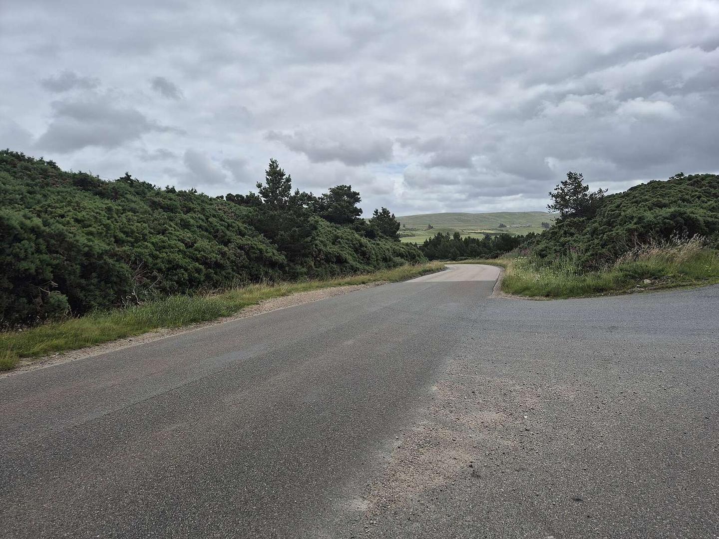
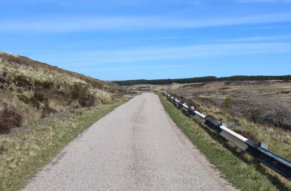
2 photographs from the road

Photo: Steven Brown · CC BY-SA 2.0 · Wikimedia Commons · Photo: Gordon Hatton · CC BY-SA 2.0 · Wikimedia Commons · Photo: Mick Garratt · CC BY-SA 2.0 · Wikimedia Commons

Stage of

More rides from Altnaharra