
Cycling in Altnaharra
2 cycling routes from Altnaharra, Highland, United Kingdom, 95 to 108 km, 203 km mapped in all, with up to 940 m of climbing in a day. Rolling riding (8 m of climbing per km on average), mostly road and gravel routes, 86% paved, 74% of the riding on main roads without a cycle lane. Best months to ride: Jul to Aug.
At a glance
- Routes
- 2
- Lengths
- 95–108 km
- Biggest day
- 940 m
- Terrain
- Rolling
- Surface
- 86% paved
- Bike
- Road bike with sturdy tyres, or gravel bike
- Difficulty
- Hard
- Best months
- Jul to Aug
- Longest gap
- 53 km
- GPX
- Every route
Know before you go
Added up from the recorded routes and OpenStreetMap; nothing estimated.
- Surface
- 86% paved · 14% gravel or unpaved — 28 km of gravel or unpaved road across the routes.
- Roads
- 74% of the riding on main roads without a cycle lane.
- Bail-outs
- A railway station or ferry within reach on 2 routes.
- No services
- 53 km on Altnaharra to Watten.
Cycling guide to Altnaharra
Altnaharra offers two main routes for cyclists. One leads north to Thurso over 95 km with a total climb of 940 m, passing multiple small places including Tongue and Bettyhill. This route features predominantly paved surfaces with a small amount of gravel and has a longest service-free stretch of 28 km. The other route goes southeast to Watten, covering 108 km with 594 m of elevation gain. It includes a higher proportion of gravel or unpaved roads at 25% and involves longer service-free distances of up to 52.5 km. Both routes start near Altnaharra and traverse varied terrain with limited cycle lane provision on main roads.
More on terrain
Terrain
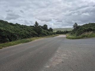
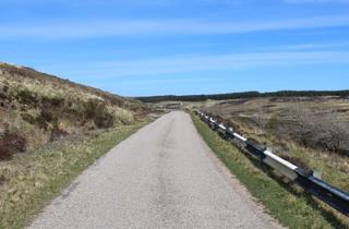
The terrain around Altnaharra is gently rolling with climbs averaging around 3% gradient and a maximum gradient of up to 5.7%. The highest points reached on the routes are 228 m on the way to Thurso and 211 m on the Watten route. Climbing occurs in several segments, with the biggest climbs lasting about 4.3 to 4.4 km in length.