
Cyclists.com

Rosehall to Durness

Rosehall, Highland, United KingdomGravel

Signed route The waymarked Great North Trail (Cape Wrath) (Cycling UK), traced from OpenStreetMap and measured against the terrain model; no member has recorded it yet. Stage 1 of 2 of the Great North Trail (Cape Wrath). Ridden it? Add your recording and photos.

115 km
Distance
1,108 m
Elevation gain
Hard
Difficulty
Paved
Surface
Download GPXMap

Elevation profile

Total ascent
1,108 m
Distance
115 km
0100200300400500m0 km255075100115 km410 m · highest, at 34.5 kmStartFinish

Route overview

Suitable for riders prepared for a long ride with sustained climbing and mixed surfaces.

Stage 1 of 2 of the Great North Trail (Cape Wrath): 114.9 km from Rosehall to Durness with 1108 m of climbing, on the signed route.

The route begins in Rosehall and heads northwest, passing through West Merkland at 51km. The first half of the ride contains 63% of the elevation gain, with notable climbs between 27.3km and 33.2km including gradients averaging 4% to 7.6%, maxing at 11.8%, reaching a high point of 408m near 33.7km by Maovally peak. The route features 76% paved surfaces mixed with 23% gravel or unpaved sections, and 1% unmapped paths. Riders spend 39% of the trip on main roads including 34.5km on the A838 and 9km on the A837, all without cycle lanes, plus 65.3km on roads with speed limits of 80km/h or higher. After 9.6km the ride enters a long stretch of 84.1km without any cafés, shops, or water points until near Durness. Along the way are places such as Allt na Caillich, Eriboll, Laid, and Sangobeg before arriving into Durness close to the finish at 107.5km.

Highlights

  • Climb near Maovally (408m) at 33.7km
  • Long 84.1km stretch without shops or water
  • Finish in Durness with bike rental and services
  • Rides mostly along the A838 main road

Along the route

Measured from the recorded track and OpenStreetMap.

Places passed

  1. Rosehall 9.2 km
  2. West Merkland 51 km
  3. Allt na Caillich 69.8 km
  4. Eriboll 82.5 km
  5. Laid 93.6 km
  6. Sangobeg 103.2 km
  7. Leirinmore 104.6 km
  8. Smoo 104.9 km
  9. Sangomor 106.7 km
  10. Durness 107.5 km
  11. Keoldale 111 km

Climbs

ClimbStarts atLengthGainAverageMaxTop
27.3 km2.1 km84 m4 %8.1 %198 m
30.7 km2.5 km189 m7.6 %11.8 %391 m
49.8 km3.9 km125 m3.2 %6.8 %246 m
64.9 km1.6 km86 m5.3 %7.1 %120 m
75.3 km5.6 km201 m3.6 %7.6 %220 m

High point 408 m at 33.7 km; low point 0 m. Passes beneath Maovally, Meall a' Chleirich, Sròn an Àideal.

What this ride is like

Measured from OpenStreetMap along the track and the elevation profile.

Roads
39% main road · 23% minor road · 23% track · 14% quiet street · 1% unmapped
Main roads
43.5 km on main roads without a cycle lane — likely busier
Fast roads
65.3 km on roads with a limit of 80 km/h or more
Main roads used
A838 (35 km), A837 (9 km), Strathmore Hope Road (8 km)
Surface
76% paved · 23% gravel or unpaved
Gradient
18% climbing · 20% descending · 62% flat
Steep sections
7.3 km over 5% · 1.2 km over 8% · steepest 500 m averages 9.2% at 32.6 km
Longest descent
6.5 km from 58.4 km, dropping 187 m

Along the way

Within a few hundred metres of the track, from OpenStreetMap. Opening hours change — treat this as where to look, not a promise.

Longest stretch without a café, shop or water: 84 km, from 10 km to 94 km.

Food, water and shops

  1. 0 kmOykel Bridge Hotel · pub · 110 m off route
  2. 9.6 kmAchness Hotel / Pub · pub · 30 m off route
  3. 93.7 kmChoraidh Croft Tearoom · café · 40 m off route
  4. 103.7 kmKoffee · café · 120 m off route
  5. 107.3 kmDrinking water · 70 m off route
  6. 107.5 kmSpar · convenience store · 50 m off route
  7. 107.5 kmToilets · 30 m off route
  8. 107.5 kmDurness Community Bike HUB · bike rental · 60 m off route
  9. 107.5 kmPetrol station · 40 m off route
  10. 110.3 kmThe Durness Food Spot · fast food · 60 m off route

Need to bail out?

  • 111.3 kmFerry, on the route

Whether bikes are carried depends on the service — check before relying on it.

Worth a stop

  • 2.1 kmTorr a' Chorcain Fort & Dun (archaeological site)
  • 9.9 kmAchaneas Broch (archaeological site)
  • 110.2 kmCnoc na Mòine (peak)

At the start

  • Oykel Bridge Hotel · pub · 110 m

Stay after this ride

  • Cape Wrath Hotel · hotel · 1.1 km from the finish
  • Wild Orchid Guest House · guest house · 3.7 km from the finish
  • Mackay's Rooms · hotel · 3.8 km from the finish
  • Lazy Crofter Bunkhouse/Hostel · hostel · 3.8 km from the finish
  • Lazy Crofter · hostel · 3.8 km from the finish

Practical information

Surface
Paved
Route shape
Point to point
Riding time
9 h 35 min
Best months
Jun to Aug — daily highs of 16–17 °C in those months

Know before you go

  • 43.5 km on main roads without cycle lanes
  • 65.3 km on roads with 80 km/h+ speed limits
  • Gravel or unpaved sections account for 23%
  • No café, shop or water from 9.6 km to 93.7 km (84.1 km)

Routes are for inspiration. Roads, surfaces and conditions change — check locally and ride within your limits.

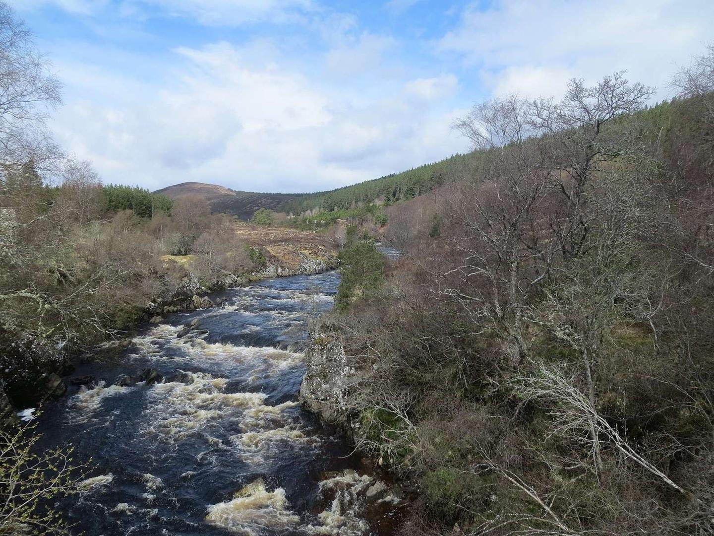
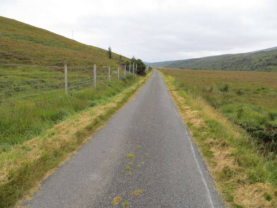
2 photographs from the road

Photo: John Ferguson · CC BY-SA 2.0 · Wikimedia Commons · Photo: Colin Park · CC BY-SA 2.0 · Wikimedia Commons · Photo: Colin Kinnear · CC BY-SA 2.0 · Wikimedia Commons

Stage of

More rides from Rosehall