Gravel · United Kingdom
Stage 2 of 2 · Great North Trail (Cape Wrath)← Stage 1
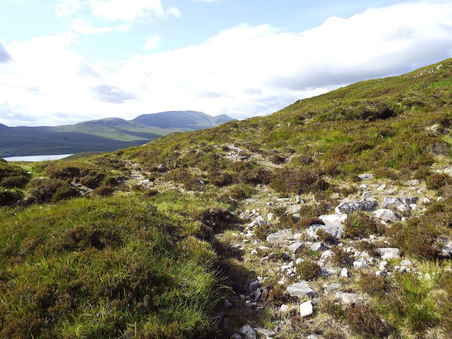
A mountainous 17 km gravel route from Durness, Highland to the end of the Great North Trail through Achiemore, Daill and An Innis Odhar, with 270 m of climbing.
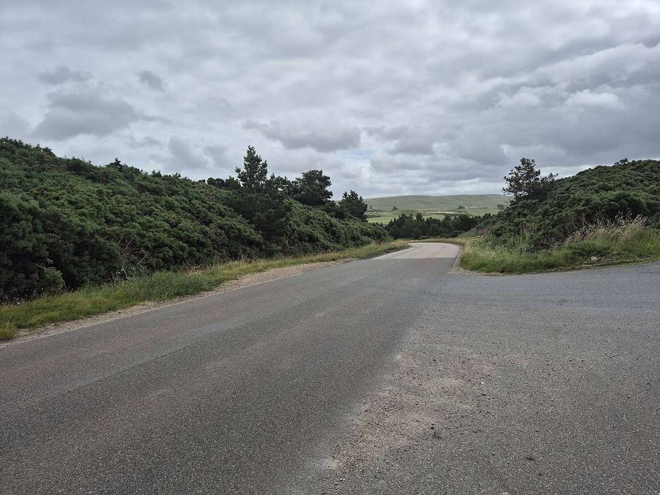
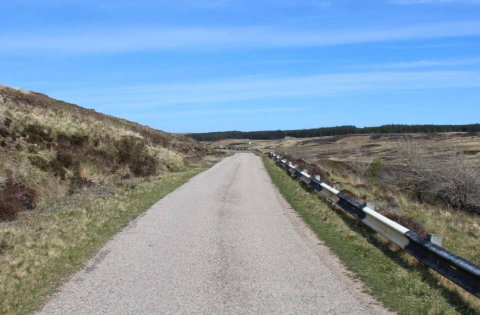
The route begins in Durness and runs along the Cape Wrath Lighthouse Road for 17.3 km entirely on paved minor roads. Early on, it passes the small places of Achiemore at 2.2 km and Daill at 2.6 km before reaching the climb beginning at 2.8 km. This first climb is 1.6 km long with an average gradient of 5.3%, reaching 105 m altitude after gaining 84 m.
Continuing, the route reaches An Innis Odhar at 6.4 km before a longer 1.9 km climb starting at 6.1 km. This climb gains 73 m at an average of 3.8%, topping out at 172 m around 8.1 km, the highest point along the route. From there, the route descends for 2.9 km dropping 113 m until 11.2 km.
The last climb starts at 14.7 km, climbs 59 m over 2.2 km at 2.7% average gradient, reaching 112 m about 17 km into the ride. There are no cafés, shops, or water stops on route until the finish, where Ozone Cafe and toilets lie just off route at 17.3 km. A ferry bailout is available near the start at 0 km. Peaks near the route include Beinn an Amair at 0.3 km and Dùnan Mòr at 16.9 km off route.
| Climb | Starts at | On this ride | Top on this ride |
|---|---|---|---|
| Unnamed climb | 2.8 km | 1.6 km · 84 m · 5.3 % · max 8.3 % | 105 m |
| Unnamed climb | 6.1 km | 1.9 km · 73 m · 3.8 % · max 5.5 % | 172 m |
| Unnamed climb | 14.7 km | 2.2 km · 59 m · 2.7 % · max 5.2 % | 112 m |
Mostly minor roads and streets on the map.
The longest stretch without a café, shop or water is 17 km, from the start. Along the route: 1 café or restaurant and 1 public toilet.