Cyclists.com

Bearsden to Killin

Bearsden, East Dunbartonshire, United KingdomGravel

Signed route The waymarked Great North Trail (Grampian Mountains) (Cycling UK), traced from OpenStreetMap and measured against the terrain model; no member has recorded it yet. Stage 1 of 3 of the Great North Trail (Grampian Mountains). Ridden it? Add your recording and photos.

101 km
Distance
969 m
Elevation gain
Hard
Difficulty
Mixed
Surface
Download GPXMap

Elevation profile

Total ascent
969 m
Distance
101 km
0100200300400m0 km255075101 km293 m · highest, at 94.8 kmStartFinish

Route overview

Riders prepared for a 100 km ride with nearly 1000 m climbing and mixed surfaces including significant gravel sections.

Stage 1 of 3 of the Great North Trail (Grampian Mountains): 100.7 km from Bearsden to Killin with 969 m of climbing, on the signed route.

Starting in Kelvindale near Bearsden, the route passes through Summerston and Milngavie by km 8.6. It then continues past Dumgoyne, Gartness, Gateside, and Drymen. The first significant climb begins just after Drymen at km 27.1, rising 135 m over 3.2 km at an average gradient of 4.2%, topping out at 187 m. After Aberfoyle at 44.8 km, there is a longer climb starting at km 43.8 and continuing for 4.6 km, gaining 228 m at 5% average gradient with a maximum of 8.3%, reaching 251 m. The route features a mix of surfaces with 61% gravel or unpaved and 38% paved, travelling mostly on cycle paths, tracks, paths, minor roads, and quiet streets. Main roads without a cycle lane total 3.1 km, and 2.5 km have a speed limit of 80 km/h or more. From km 45.2 to 65, riders face the longest stretch without café, shop, or water for nearly 20 km. Beyond, the route continues through Strathyre and Lochearnhead. A final climb of 2.3 km starting at 84 km gains 84 m at 3.6% gradient. The highest point is at 91.1 km at 294 m. The ride ends in Killin, where various cafés, shops, and bike rental facilities are available.

Highlights

  • Climb after Drymen, 135 m gain over 3.2 km
  • Climb after Aberfoyle, 228 m gain over 4.6 km
  • Highest point at 91.1 km, 294 m
  • Passes Killin with shops and cafés

Along the route

Measured from the recorded track and OpenStreetMap.

Places passed

  1. Milngavie 8.6 km
  2. Dumgoyne 19.7 km
  3. Gartness 23.8 km
  4. Gateside 26.5 km
  5. Drymen 27.8 km
  6. Aberfoyle 44.8 km
  7. Invertrossachs 58.3 km
  8. Kilmahog 65 km
  9. Strathyre 77.4 km
  10. Kingshouse 81 km
  11. Lochearnhead 85.5 km
  12. Killin 96.8 km

Climbs

ClimbStarts atLengthGainAverageMaxTop
27.1 km3.2 km135 m4.2 %7.1 %187 m
43.8 km4.6 km228 m5 %8.3 %251 m
84 km2.3 km84 m3.6 %8.2 %217 m

High point 294 m at 91.1 km; low point 22 m. Passes beneath Scroggy Hill, Carbeth Hill, Blair's Hill.

What this ride is like

Measured from OpenStreetMap along the track and the elevation profile.

Roads
29% cycle path · 23% track · 21% path · 13% minor road
Main roads
3.1 km on main roads without a cycle lane — likely busier
Fast roads
2.5 km on roads with a limit of 80 km/h or more
Cycle paths
28.4 km on cycle paths or roads with a cycle lane
Surface
38% paved · 61% gravel or unpaved
Gradient
23% climbing · 21% descending · 56% flat
Steep sections
3.4 km over 5% · steepest 500 m averages 7.8% at 47.6 km
Longest descent
5.9 km from 94.8 km, dropping 212 m

Along the way

Within a few hundred metres of the track, from OpenStreetMap. Opening hours change — treat this as where to look, not a promise.

Longest stretch without a café, shop or water: 20 km, from 45 km to 65 km.

Food, water and shops

  1. 0.4 kmThe Ram's Head · pub · 190 m off route
  2. 8 kmEsso · petrol station · 250 m off route
  3. 8.6 kmM&S Foodhall · supermarket · 40 m off route
  4. 8.6 kmM & D Green Pharmacy · pharmacy · 70 m off route
  5. 21.1 kmEatery · café · 140 m off route
  6. 25.6 kmHonesty Box · bakery · 40 m off route
  7. 27.8 kmSpar · convenience store · 40 m off route
  8. 27.8 kmPeloton · bike shop · 50 m off route
  9. 44.5 kmCo-op Food · supermarket · on the route
  10. 44.5 kmToilets · 120 m off route
  11. 44.8 kmThe Station · café · 100 m off route
  12. 44.8 kmHighland · petrol station · 180 m off route
  13. 65 kmThe Lade Inn · pub · 190 m off route
  14. 69.6 kmToilets · on the route
  15. 76.9 kmThe Broch Cafe · café · 230 m off route
  16. 82.3 kmthe Golden Larches · restaurant · 170 m off route
  17. 96.4 kmToilets · 40 m off route
  18. 96.8 kmThe Co-operative Food · supermarket · 230 m off route

Need to bail out?

  • 0.4 kmMaryhill (station), 190 m off route
  • 8.6 kmMilngavie (station), 240 m off route

Whether bikes are carried depends on the service — check before relying on it.

Worth a stop

  • 43.9 kmOld Kirk (ruins)
  • 72.8 kmPicnic Table (picnic site)
  • 88.7 kmGlen Ogle Viaduct (monument)

At the start

  • Maryhill · station · 540 m
  • The Ram's Head · pub · 510 m
  • Kelvindale · station · 540 m

At the finish

  • Kula Coffee Shop · café · 70 m
  • Secret Pizza · fast food · 60 m
  • Davidsons Chemists · pharmacy · 260 m
  • The Co-operative Food · supermarket · 230 m
  • Falls of Dochart Inn Tea Room · café · 560 m

Stay after this ride

  • Fairview · guest house · 170 m from the finish
  • Breadalbane House · guest house · 200 m from the finish
  • The Courie Inn · hotel · 200 m from the finish
  • The Old Bank · guest house · 300 m from the finish
  • Capercaillie · guest house · 390 m from the finish

Practical information

Surface
Mixed
Route shape
Point to point
Riding time
8 h 24 min
Best months
Jun to Aug — daily highs of 17–18 °C in those months

Know before you go

  • 19.8 km stretch without café, shop or water from 45.2 km
  • 3.1 km on main roads without a cycle lane
  • 2.5 km on roads with speed limit 80 km/h or more
  • 61% of route on gravel or unpaved surfaces

Routes are for inspiration. Roads, surfaces and conditions change — check locally and ride within your limits.

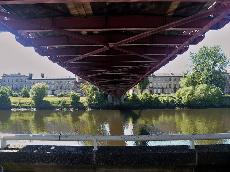
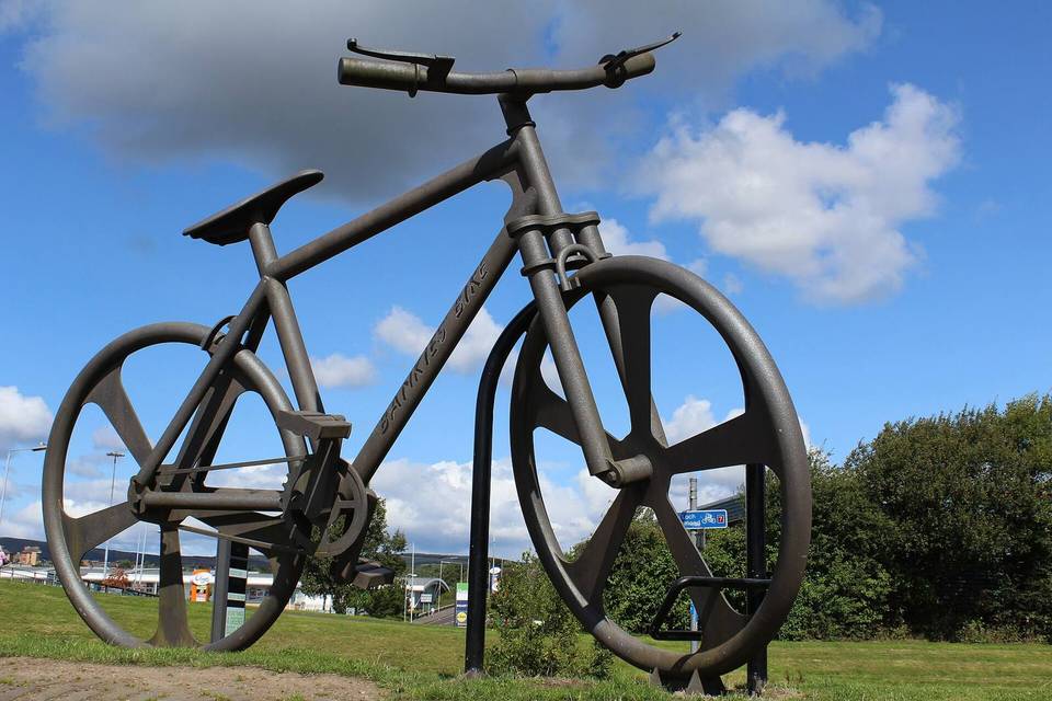
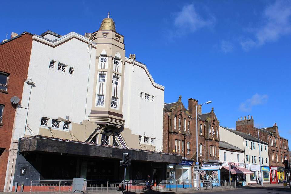
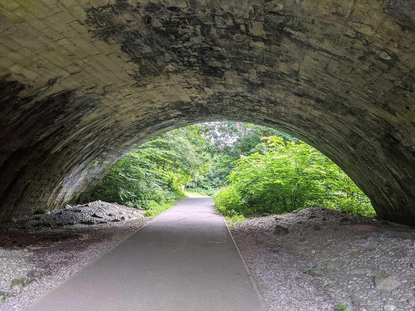
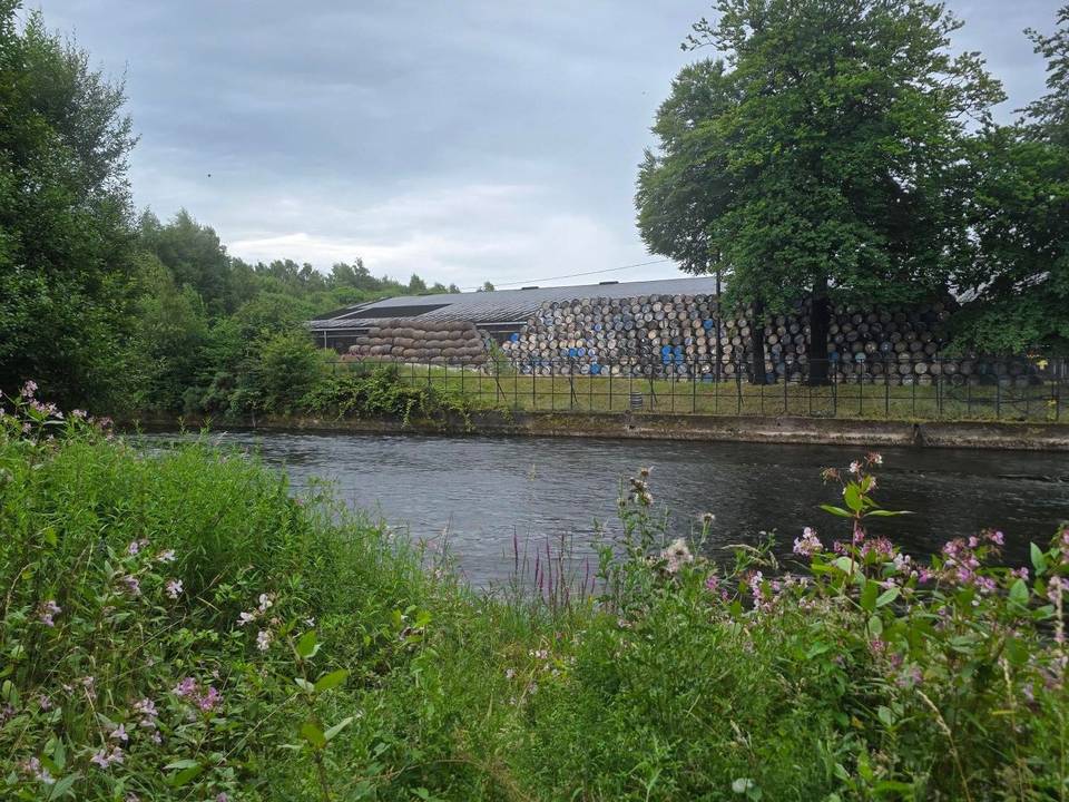
2 photographs from the road

Photo: Raibeart MacAoidh · CC BY-SA 2.0 · Wikimedia Commons · Photo: Daniel from Glasgow, United Kingdom · CC BY 2.0 · Wikimedia Commons · Photo: Richard Webb · CC BY-SA 2.0 · Wikimedia Commons

Stage of